Root River
Root River
- Boat Ramps
- 0
- Access Points
- 11
- Campsites
- 19
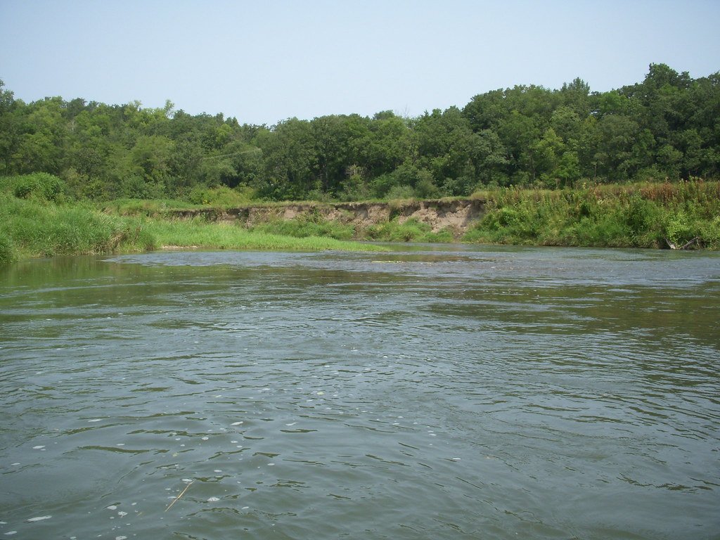
The Root River is a picturesque waterway flowing through the karst topography of southeastern Minnesota. Originating near Stewartville, it meanders eastward for approximately 80 miles before joining the Mississippi River near La Crescent. The river's main stem is fed by several spring-fed tributaries, most notably the South Branch, which joins near Houston.
Paddlers can experience a range of conditions on the Root River State Water Trail, established in 1967. The main stem offers a mix of calm stretches and mild Class I-II rapids suitable for novice to intermediate paddlers. The South Branch provides a more intimate paddling experience, with its narrow, canopied waterway featuring delightful riffles and standing waves. The river's difficulty ranges from Class I to II, with some sections appropriate for beginners and others requiring more skill.
Most stretches are best paddled in late spring through early fall when water levels are optimal. However, it's crucial to check current conditions, as the river can become cloudy and swift after heavy rains due to the watershed's erosive soil types.
The Root River Valley boasts diverse ecosystems supporting a rich array of flora and fauna. Paddlers may spot bald eagles, herons, and various waterfowl. The surrounding bluffs showcase native hardwood forests and limestone outcroppings characteristic of the Driftless Area.
Key access points include Lanesboro, a charming town serving as a popular put-in for the main stem, and Preston, which offers multiple access options for the South Branch. Other notable landmarks include the quaint river towns of Whalan and Rushford, as well as the Root River State Trail, which parallels much of the waterway.
The river's name, Root, is a literal translation of the Dakota word Huktan and the French Racine, reflecting the area's rich cultural heritage. The valley has been home to various Native American tribes and later European settlers, shaping the region's history.
Safety considerations include being aware of changing water levels, watching for strainers in narrow sections, and respecting private property along the shoreline. All watercraft over 9 feet in length must be registered. For those seeking a multi-day adventure, the full 80-mile length of the State Water Trail offers ample camping opportunities and the chance to fully immerse in the natural beauty of southeastern Minnesota's bluff country.
Water access, boat ramps & amenities
Learn how to get on Root River. Uncover great paddling access points, boat ramps, and all the facilities you need for an unforgettable day on the water. Some locations shown may border or include private property. Always check property boundaries and applicable regulations before visiting. PaddleWays's Public & Private Land layer can help you plan your access with confidence.
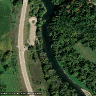
Root River, Parsley Bridge Public Water Access Site
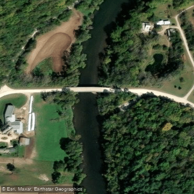
Root River, Moen's Bridge Public Water Access Site
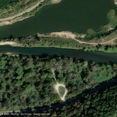
Root River, Hwy 16 Public Water Access Site
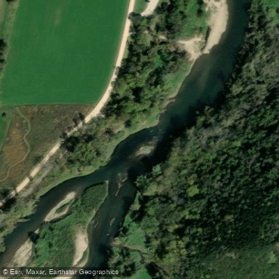
Root River, Whalan Public Water Access Site
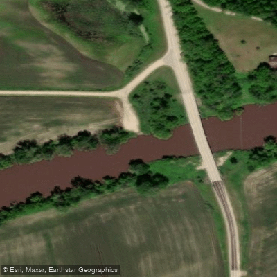
Root River, Mound Prairie Public Water Access Site
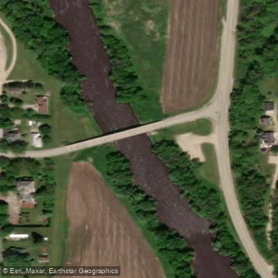
Root River, Peterson Public Water Access Site
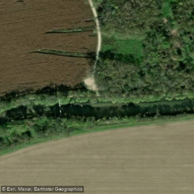
Root River, Rushford Public Water Access Site
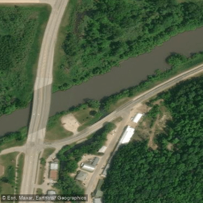
Root River, Hokah Public Water Access Site
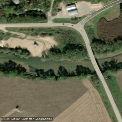
Root River, Houston Public Water Access Site
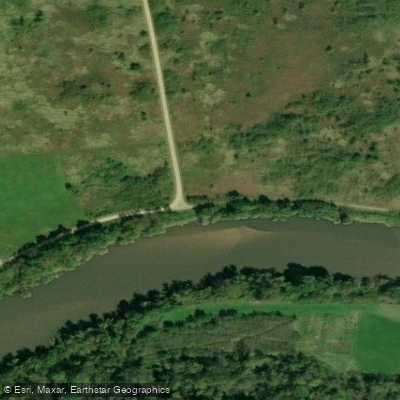
Walcker Road Access
Paddle smarter with real-time insights
Whether you're en route and conditions shift or you're looking for the best spot based on current flows, we enable you to make informed decisions on the fly.








Find Places to Paddle

Over 400,000 Places to Paddle
Every user gets free access to launch points, boat ramps, and public property parcels.


Water and weather conditions (10 day forecast)
See the best times to paddle Root River and check the forecast before you go.
ROOT RIVER NEAR PILOT MOUND, MN
All Flow Stations
Paddling near Root River

Mississippi River
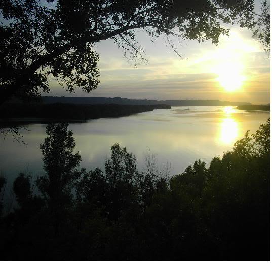
Lake Onalaska
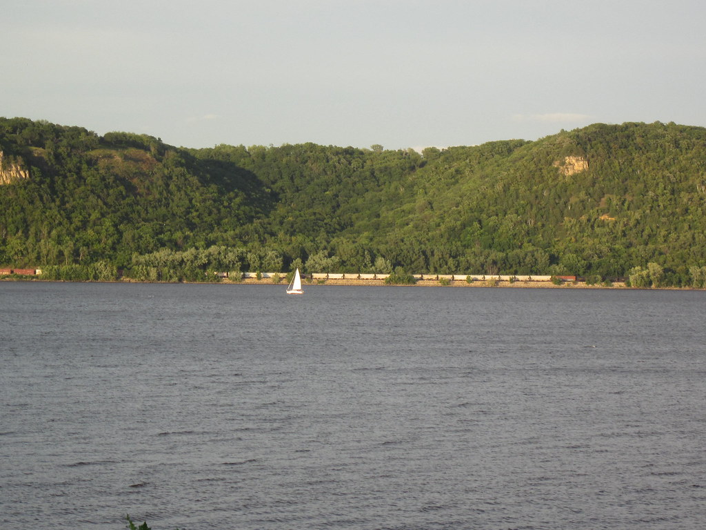
Lake Pepin
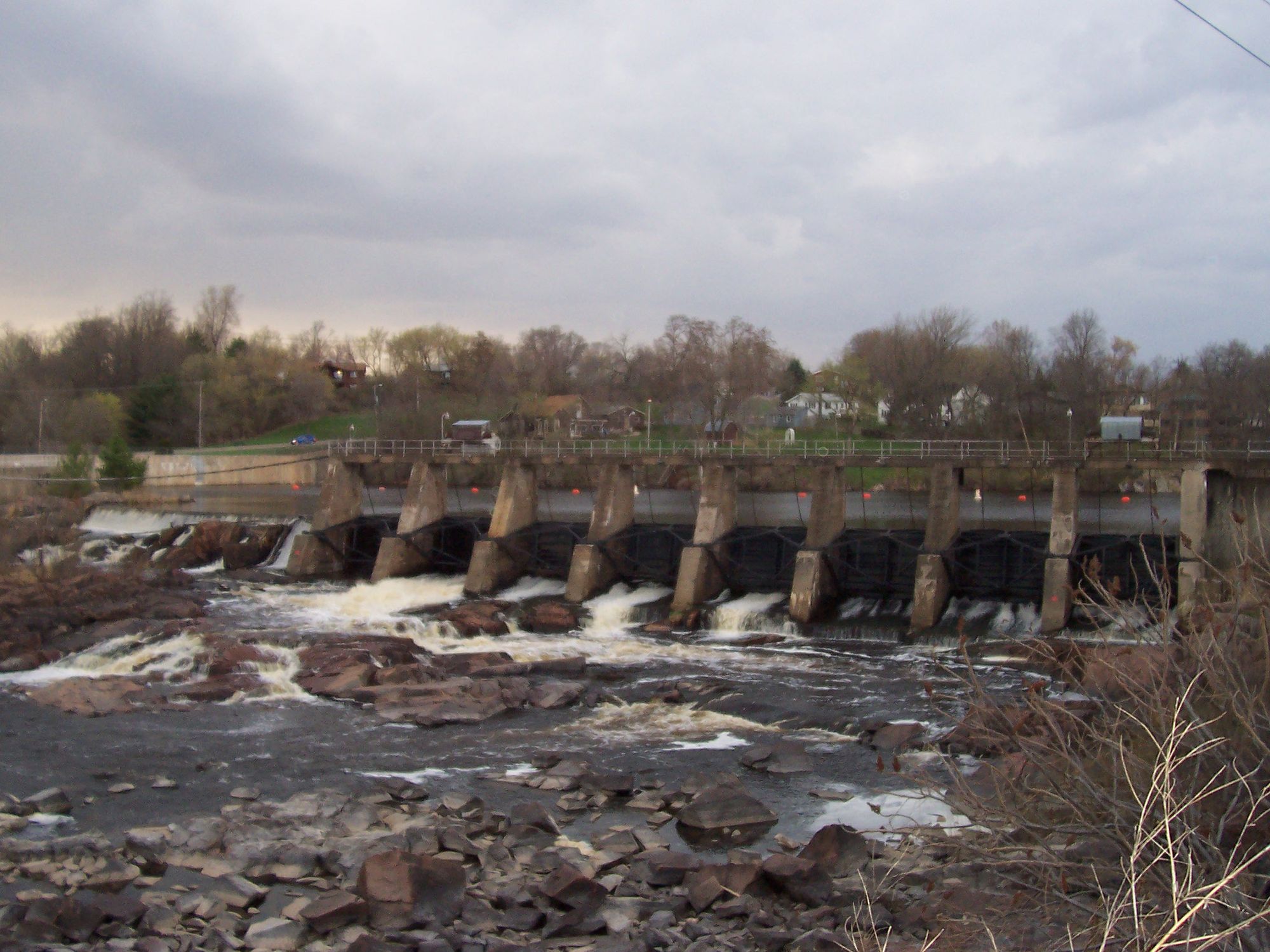
Black River
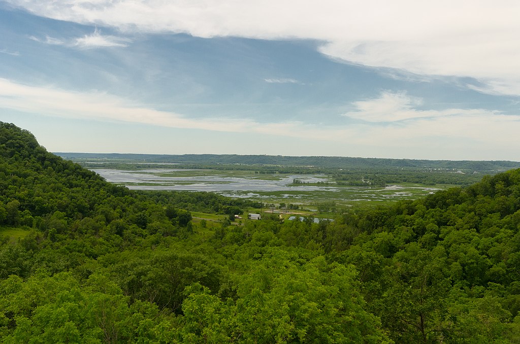
Chippewa River
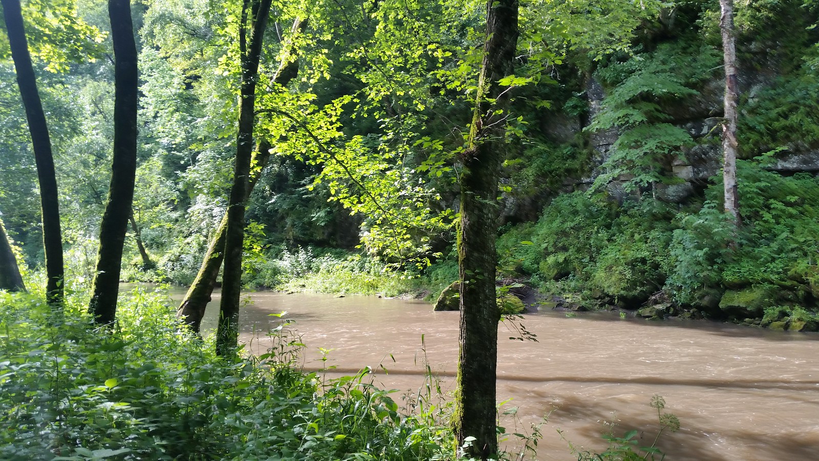
Whitewater River
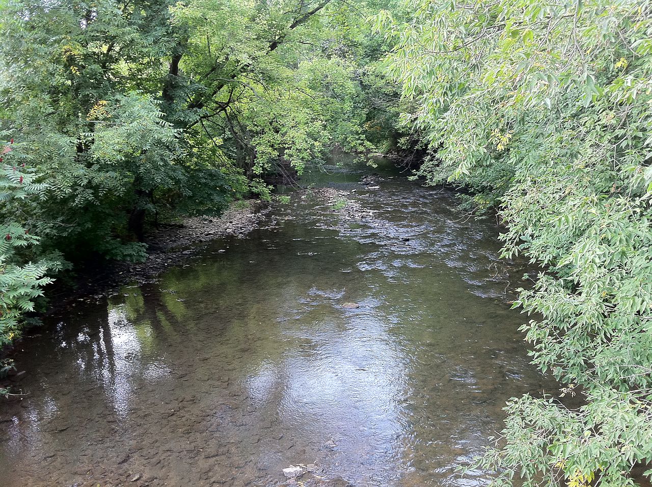
South Branch Root River
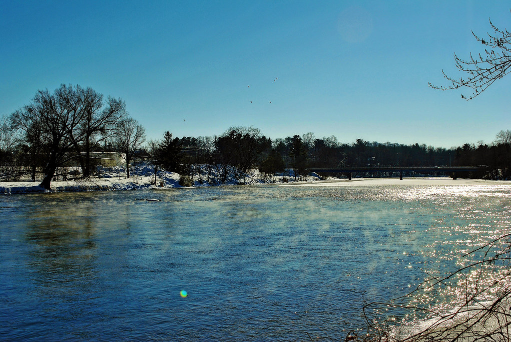
Red Cedar River
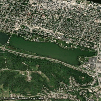
Lake Winona
Explore Minnesota waters
Top paddling waters
Popular Cities
Loading popular cities...
Explore near Root River
Access points
- Root River, Parsley Bridge Public Water Access Site
- Root River, Moen's Bridge Public Water Access Site
- Root River, Hwy 16 Public Water Access Site
- Root River, Whalan Public Water Access Site
- Root River, Mound Prairie Public Water Access Site
- Root River, Peterson Public Water Access Site
- Root River, Rushford Public Water Access Site
- Root River, Hokah Public Water Access Site
- Root River, Houston Public Water Access Site
- Walcker Road Access
- Voyageur Highway Access
- N Br Root River Bridge
- All 126 spots
Nearby waters
More in Minnesota

Smarter Paddling Starts in the App.
Paddleways gives you everything you need to plan smarter, paddle better, and own every trip from first launch to takeout.