Whitewater River
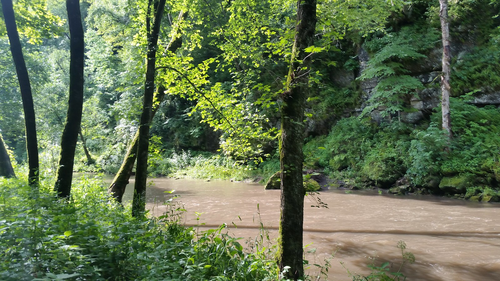
Whitewater River
- Boat Ramps
- 2
- Access Points
- 3
- Campsites
- 3
The Whitewater River in southeastern Minnesota is a 17-mile waterway that flows through the picturesque Driftless Area, originating in the city of Elba and meandering southeastward to its confluence with the Mississippi River. This compact but significant river system is fed by several tributaries, most notably the South Fork, which joins the main stem about half a mile downstream from Elba, substantially increasing the river's volume. Paddlers embarking on the Whitewater River journey will find a relatively gentle waterway, with difficulty levels estimated at Class I-II, suitable for beginners to intermediate kayakers and canoeists. The river offers a continuous float from Elba to the Mississippi, passing through the Whitewater Wildlife Management Area, which provides ample opportunities for wildlife observation.
The river's character changes dramatically along its course. Near Elba, the waterway is more creek-like, but as it progresses, it transforms into a broader river flanked by impressive limestone and sandstone bluffs. These geological features, characteristic of the Driftless Area, create a stunning backdrop for paddlers, ranking among the most scenic in the region. Access to the river is straightforward, with the primary put-in located in Elba. Paddlers can plan for day trips or potentially organize a multi-day adventure, taking out at various points along the route or continuing to the Mississippi River confluence.
The Whitewater River's ecosystem supports a diverse array of flora and fauna typical of southeastern Minnesota's riparian zones. Paddlers may encounter various bird species, deer, and possibly even beavers or otters along the forested banks.
Historically, the Whitewater River played a crucial role in Minnesota's conservation movement. Like Coon Valley and Coon Creek in neighboring Wisconsin, Elba and the Whitewater River became emblematic of early 20th-century efforts to combat soil erosion and promote sustainable land management practices in the region.
Paddlers should be aware of seasonal fluctuations in water levels, with spring typically offering the most reliable flows. Late summer and fall may present lower water conditions, potentially requiring more portaging around shallow areas. Safety considerations include being prepared for changing weather conditions and potential strainers or log jams, especially after high water events. As always, life jackets are essential, and paddlers should check current river conditions and any local regulations before embarking on their trip.
The Whitewater River, while short in length, offers a condensed snapshot of southeastern Minnesota's natural beauty and conservation history, making it a rewarding destination for paddlers seeking a blend of scenic vistas and cultural significance.
Water access, boat ramps & amenities
Learn how to get on Whitewater River. Uncover great paddling access points, boat ramps, and all the facilities you need for an unforgettable day on the water. Some locations shown may border or include private property. Always check property boundaries and applicable regulations before visiting. PaddleWays's Public & Private Land layer can help you plan your access with confidence.
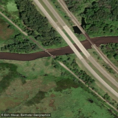
Paddle smarter with real-time insights
Whether you're en route and conditions shift or you're looking for the best spot based on current flows, we enable you to make informed decisions on the fly.








Find Places to Paddle

Over 400,000 Places to Paddle
Every user gets free access to launch points, boat ramps, and public property parcels.


Water and weather conditions (10 day forecast)
See the best times to paddle Whitewater River and check the forecast before you go.
No forecast data available.
Paddling near Whitewater River

Mississippi River
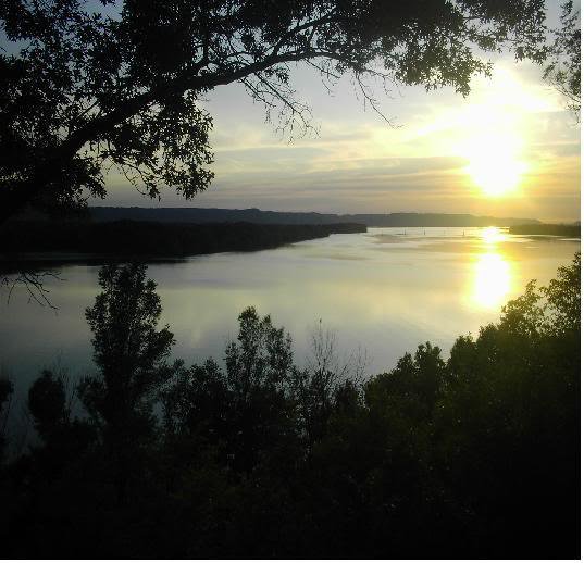
Lake Onalaska
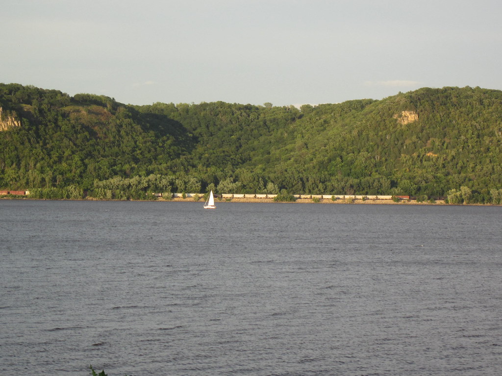
Lake Pepin
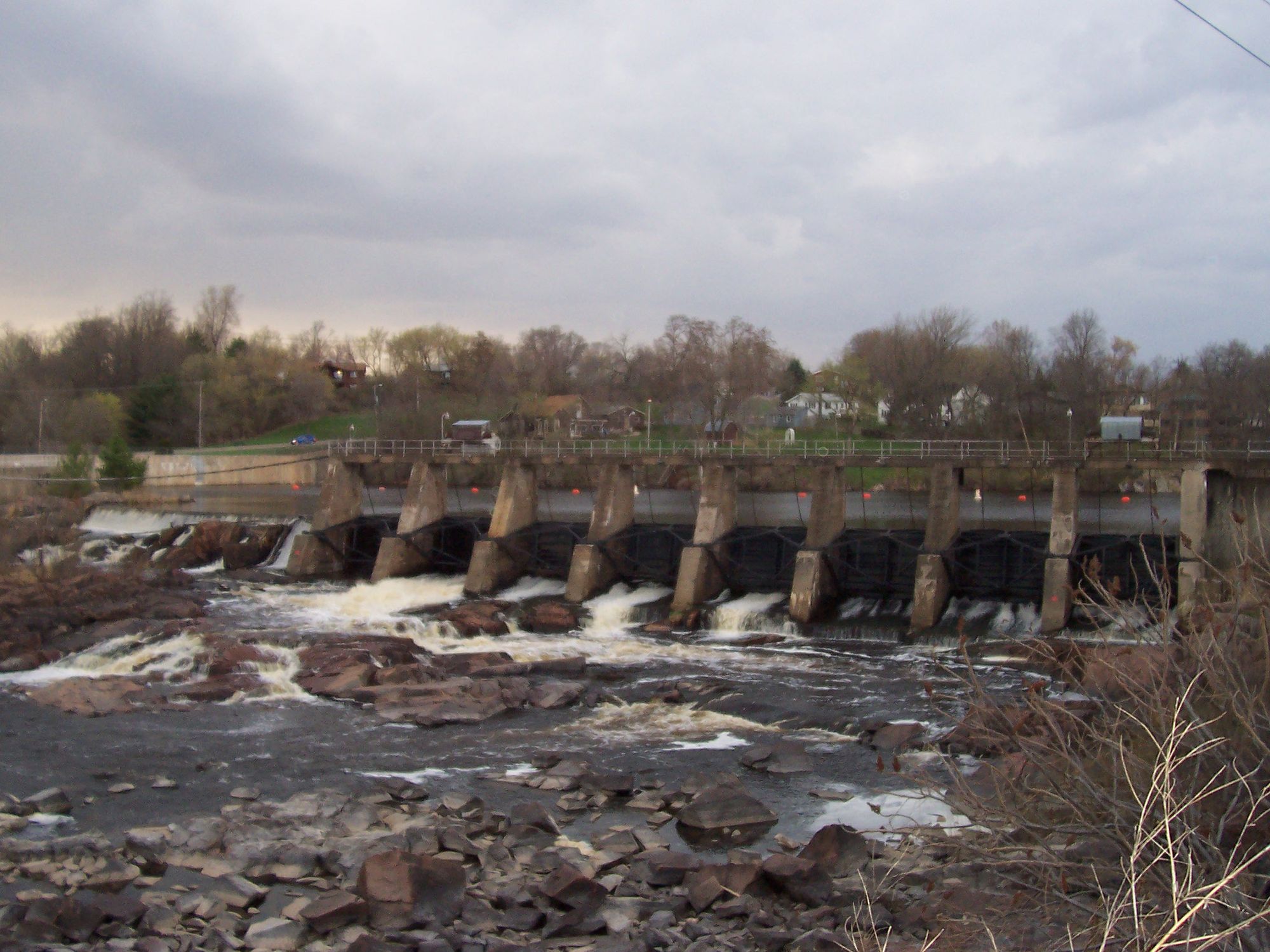
Black River
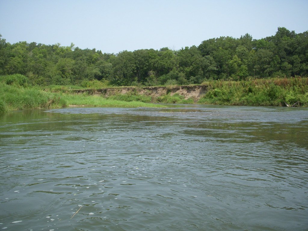
Root River
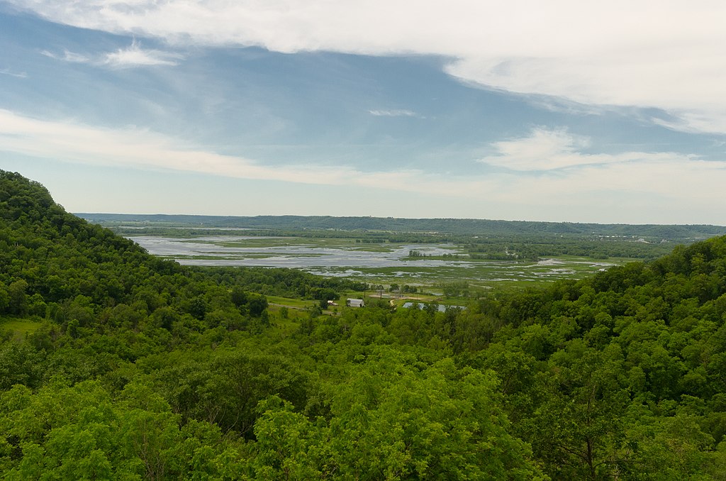
Chippewa River
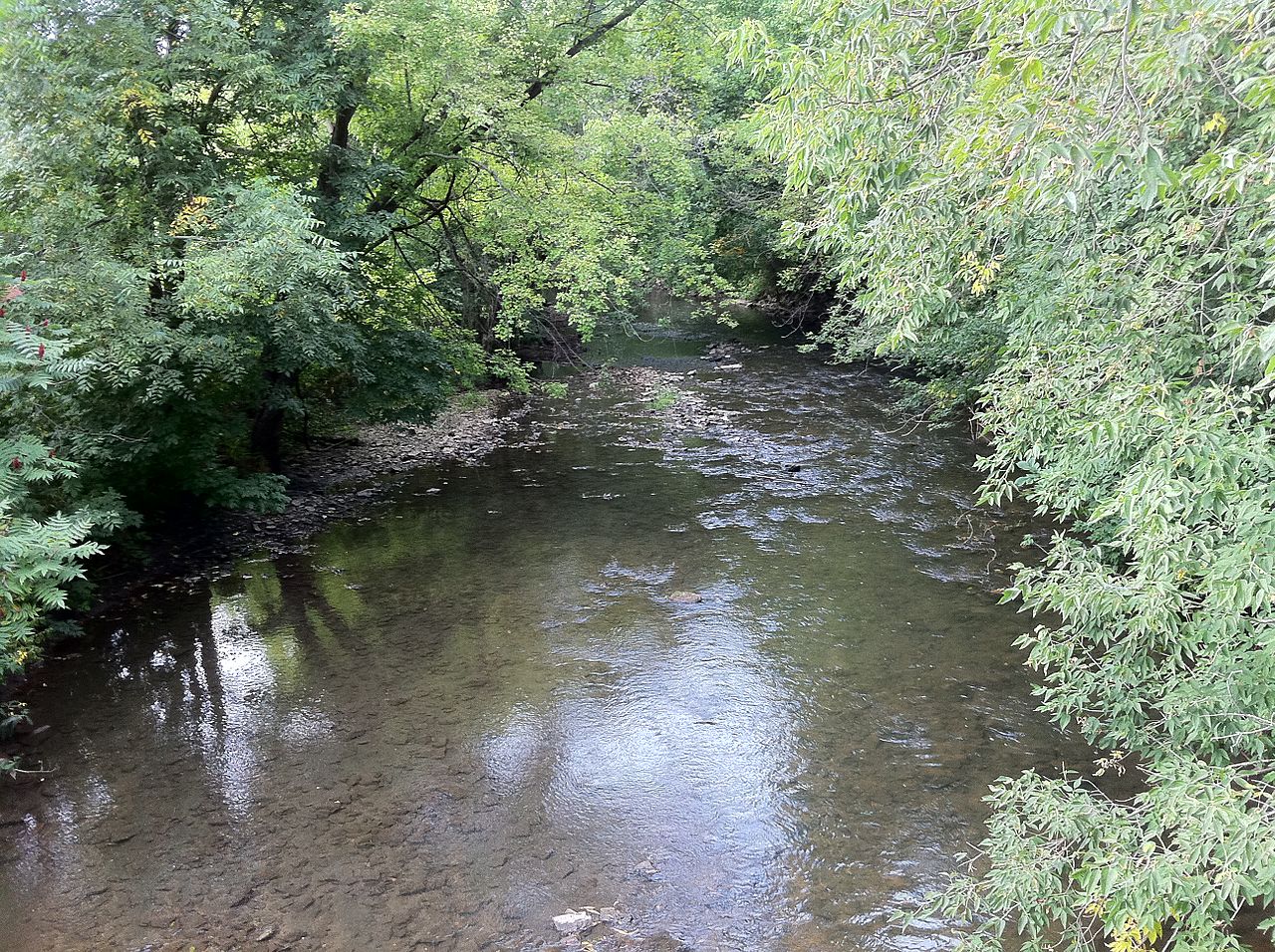
South Branch Root River
Red Cedar River
Lake Winona
Explore Minnesota waters
Top paddling waters
Popular Cities
Loading popular cities...
Explore near Whitewater River
Access points
Nearby waters
More in Minnesota

Smarter Paddling Starts in the App.
Paddleways gives you everything you need to plan smarter, paddle better, and own every trip from first launch to takeout.