Bean Lake
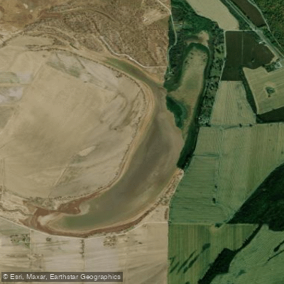
Bean Lake
- Boat Ramps
- 1
- Access Points
- 3
- Campsites
- 0
Bean Lake Wildlife Management Area spans 511 acres along the Missouri River in Platte County, Missouri, between river miles 413 and 415. The lake features riparian forest and wetland habitats, offering opportunities for flatwater paddling. Access is available via a gravel road south of the intersection of South Shore Drive and River Road, with a designated parking area. Shoreline access is restricted to pedestrian and boat use only.
Paddlers can expect to encounter diverse wildlife, particularly during dawn and dusk hours. The area hosts numerous migratory birds, beavers, and occasional bobcats. Spring and summer bring colorful butterflies, while spring and fall are prime seasons for observing migratory waterfowl including mallards, wood ducks, and northern shovelers.
The lake environment includes Cottonwood Slough, typically containing standing water and lined with buttonbush and willows. In some summers, American lotus covers portions of the open water. The surrounding marsh features thick stands of river bulrush mixed with smartweeds, arrowhead, cattail, and great bulrush.
Important regulations include: - No overnight camping - No vehicle access beyond designated parking areas - No access to or crossing of the levee system - All watercraft must comply with Missouri state regulations - Life jackets required per state law
The area serves an important environmental function as a natural filter for agricultural runoff, with USGS studies confirming its effectiveness in trapping fertilizer chemicals. Originally part of the Missouri River's channel during the Lewis and Clark expedition in 1804, Bean Lake formed as an oxbow when the river shifted westward by 1850.
For assistance or additional information, contact the Corps' Missouri River Office at 816-240-8131.
Water access, boat ramps & amenities
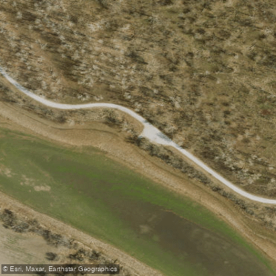
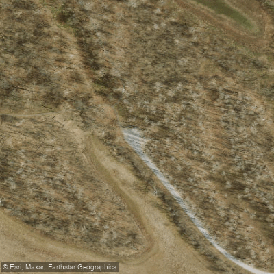
Learn how to get on Bean Lake. Uncover great paddling access points, boat ramps, and all the facilities you need for an unforgettable day on the water. Some locations shown may border or include private property. Always check property boundaries and applicable regulations before visiting. PaddleWays's Public & Private Land layer can help you plan your access with confidence.
Paddle smarter with real-time insights
Whether you're en route and conditions shift or you're looking for the best spot based on current flows, we enable you to make informed decisions on the fly.








Find Places to Paddle

Over 400,000 Places to Paddle
Every user gets free access to launch points, boat ramps, and public property parcels.


Water and weather conditions (10 day forecast)
See the best times to paddle Bean Lake and check the forecast before you go.
No forecast data available.
Paddling near Bean Lake

Missouri River
Platte River
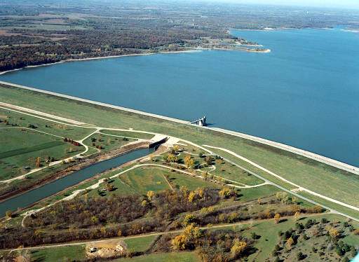
Perry Lake
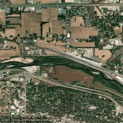
Kansas River
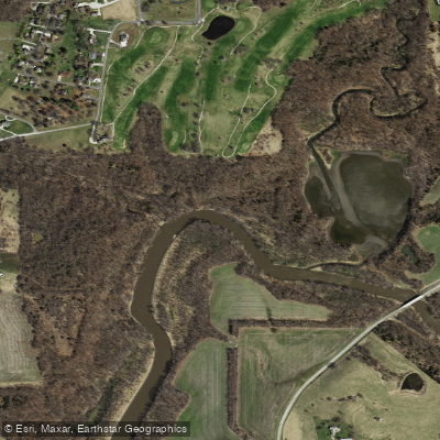
Little Platte River
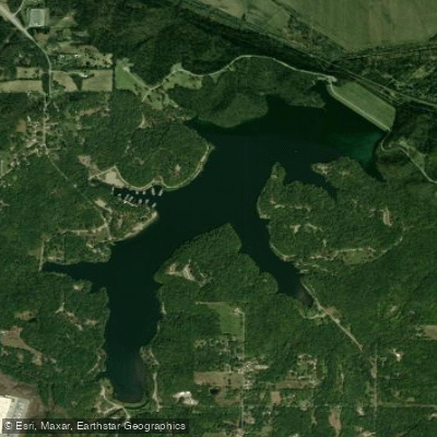
Wyandotte County Lake
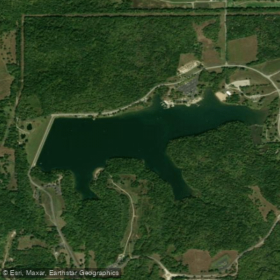
Clinton Lake
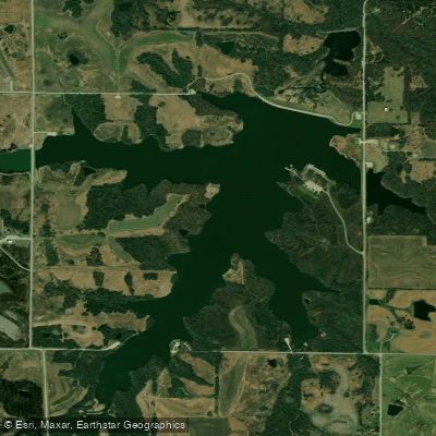
Shawnee Mission Lake
Pony Express Lake
Explore Missouri waters
Top paddling waters
Popular Cities
Loading popular cities...
Explore near Bean Lake
Access points
Nearby waters
More in Missouri

Smarter Paddling Starts in the App.
Paddleways gives you everything you need to plan smarter, paddle better, and own every trip from first launch to takeout.