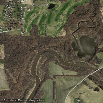
Little Platte River
Little Platte River
- Boat Ramps
- 4
- Access Points
- 5
- Campsites
- 6
The Little Platte River is a scenic waterway in northwest Missouri, originating near Plattsburg and flowing south for approximately 30 miles before emptying into Smithville Lake. From there, it continues as the Platte River before joining the Missouri River near Parkville. The Little Platte drains a watershed of rolling hills and farmland in Clinton and Clay counties.
Paddling opportunities on the Little Platte range from easy flatwater sections to more challenging swift water, offering options for various skill levels. The upper reaches near Plattsburg provide a mix of gentle riffles and calm pools, ideal for novice paddlers. As the river approaches Smithville Lake, it widens and slows, creating excellent conditions for leisurely floats and fishing. The overall difficulty of the Little Platte is generally considered easy to moderate (Class I-II), with some swifter sections during high water. Basic paddling skills are sufficient for most trips, though some experience is recommended for longer journeys or during higher flows.
Spring and early summer typically offer the best paddling conditions, with higher water levels from snowmelt and rainfall. Late summer and fall can be enjoyable but may require more portaging in shallow areas. Winter paddling is possible but should only be attempted by experienced cold-water paddlers.
The river corridor supports a diverse ecosystem, with sightings of beaver, river otter, wild turkeys, and various waterfowl common. Mature hardwood forests line much of the banks, providing habitat for numerous bird species.
Key landmarks include the historic town of Plattsburg, the Lathrop Bridge Access, and Smithville Lake. The Platte Falls Conservation Area offers a unique 2.7-mile loop float, allowing paddlers to start and end at the same location without shuttling. Primary access points include: - Lathrop Access: 2 miles east of Plattsburg on Highway 116 - Smithville Lake: Multiple access points, including Boat Ramp #8 - Platte Falls Conservation Area: Upstream and downstream ramps
The Little Platte played a role in the early settlement of northwest Missouri, with several mill sites established along its banks in the 19th century. Today, it serves as an important recreational resource for the region.
Safety considerations include checking water levels before paddling, as the river can become swift after heavy rains. Woody debris and low-head dams may create hazards in some areas. All paddlers should wear life jackets and follow Missouri Department of Conservation regulations.
For those seeking a multi-day adventure, it's possible to combine a trip on the Little Platte with continued paddling on the main Platte River below Smithville Lake, potentially extending the journey to the Missouri River confluence.
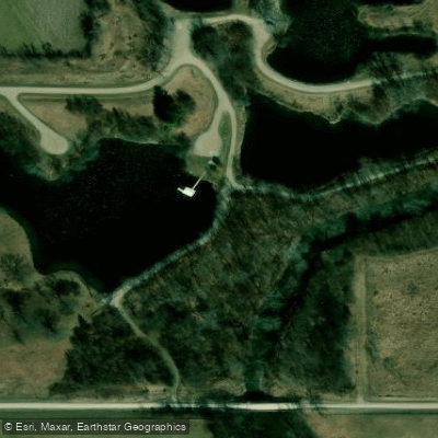
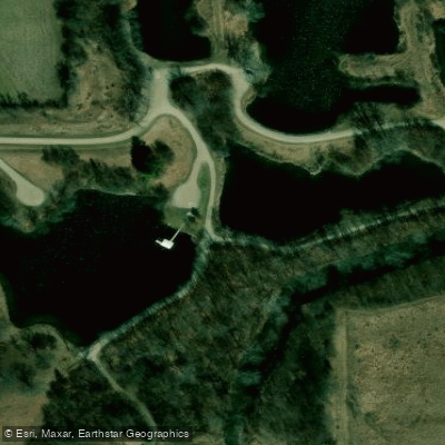
Water access, boat ramps & amenities
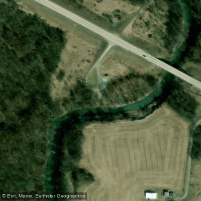
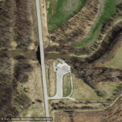
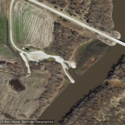
Learn how to get on Little Platte River. Uncover great paddling access points, boat ramps, and all the facilities you need for an unforgettable day on the water. Some locations shown may border or include private property. Always check property boundaries and applicable regulations before visiting. PaddleWays's Public & Private Land layer can help you plan your access with confidence.
Paddle smarter with real-time insights
Whether you're en route and conditions shift or you're looking for the best spot based on current flows, we enable you to make informed decisions on the fly.








Find Places to Paddle

Over 400,000 Places to Paddle
Every user gets free access to launch points, boat ramps, and public property parcels.


Water and weather conditions (10 day forecast)
See the best times to paddle Little Platte River and check the forecast before you go.
Little Platte River near Plattsburg, MO
All Flow Stations
Paddling near Little Platte River

Missouri River
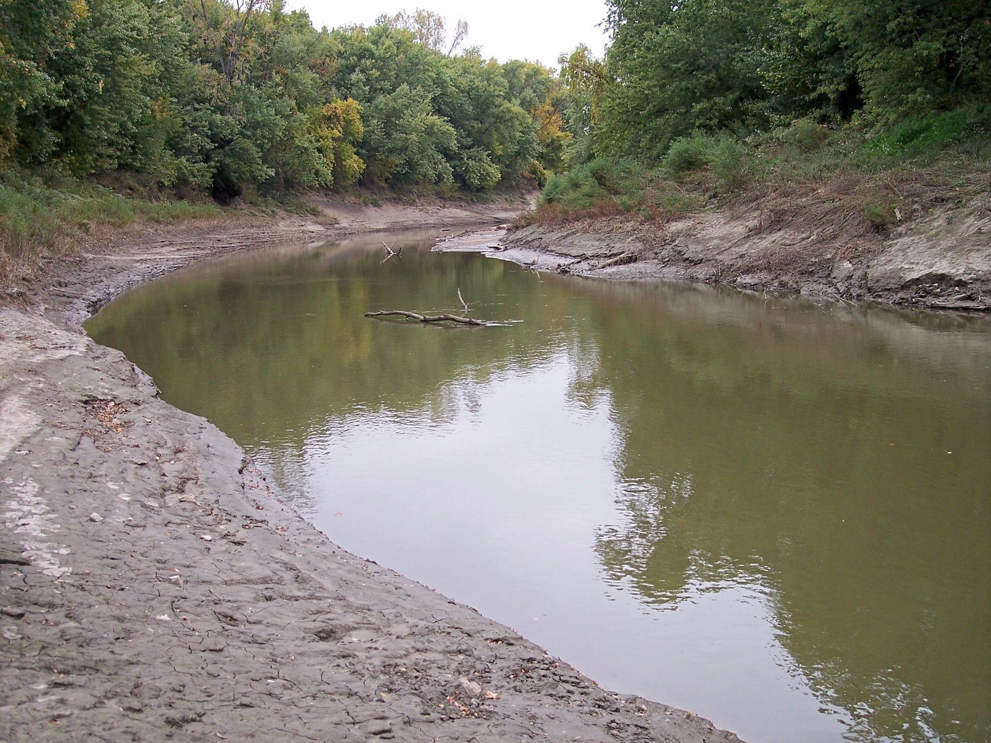
Platte River
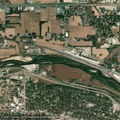
Kansas River
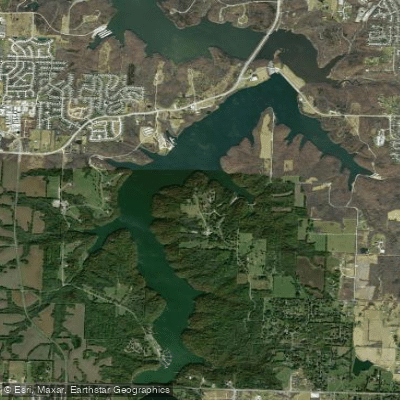
Lake Jacomo
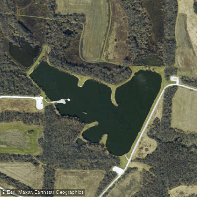
Jackrabbit Lake
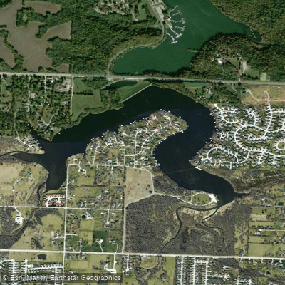
Prairie Lee Lake
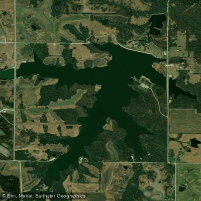
Pony Express Lake
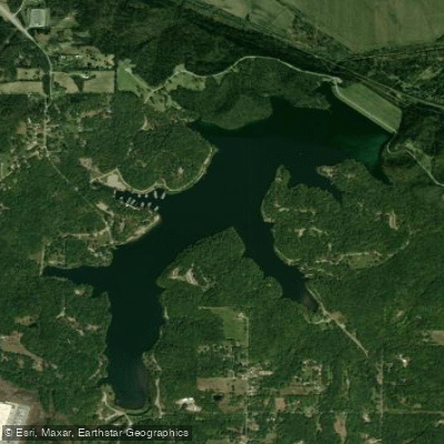
Wyandotte County Lake
Little Blue River
Explore Missouri waters
Top paddling waters
Popular Cities
Loading popular cities...
Explore near Little Platte River
Access points
- Lathrop Bridge Boat Ramp
- Judge Birch Boat Ramp
- Little Platte Boat Ramp
- Ronald and Maude Hartell Boat Ramp
- Ronald and Maude Hartell Boat Ramp
- Lit Platte Rvr Bridge
- Lit Platte Rvr Bridge
- Lit Platte Rvr Bridge
- Little Platte Rvr Bridge
- Lit Platte Rvr Bridge
- Smithville Reservo Bridge
- Platte River Bridge
- All 92 spots
Nearby waters
More in Missouri

Smarter Paddling Starts in the App.
Paddleways gives you everything you need to plan smarter, paddle better, and own every trip from first launch to takeout.