Jackrabbit Lake
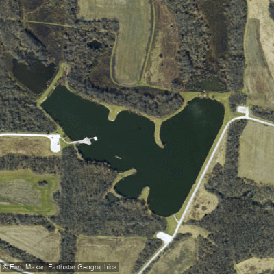
Jackrabbit Lake
- Boat Ramps
- 0
- Access Points
- 3
- Campsites
- 1
Jackrabbit Lake is located within the James A. Reed Memorial Wildlife Area in Jackson County, Missouri, south of Highway 50 near Lee's Summit.
The lake is part of a 3,084-acre wildlife area that contains 12 lakes ranging from one to 42 acres, with over 252 acres of total water surface.
Paddling access is restricted to carry-in boats and float tubes only - no motorized watercraft are permitted on Jackrabbit Lake. Electric motors are allowed throughout the Reed Wildlife Area lake system.
The lake is designated as one of four specific lakes within the wildlife area where non-motorized watercraft may be used, along with Catclaw Lake, Cottontail Lake, and Gopher Lake.
The wildlife area operates under specific hours from 6:00 AM to 7:00 PM, and paddlers must comply with Missouri Department of Conservation regulations.
Life jackets are required to be accessible for each person on board and are recommended to be worn at all times. All watercraft must have illuminated bow and stern lights between sunset and sunrise.
The lake contains largemouth bass, channel catfish, crappie, bluegill, and redear sunfish. Hybrid striped bass have been stocked in most lakes within the system.
The surrounding habitat consists of managed woodlands, native grass plantings, shrub plantings, and crop fields designed to provide year-round food for wildlife.
Wildlife viewing opportunities include Giant Canada geese, which nest and winter in the area, and white-tailed deer populations. The area was established in 1952 and developed beginning in 1957 as part of federal fish and wildlife restoration programs.
Access to the James A. Reed Memorial Wildlife Area is from Lee's Summit via Highway 50 east for 1 mile, then SE Ranson Road (Route RA) south 0. 75 mile to the area entrance. Additional information is available by calling (816) 622-0900.
Water access, boat ramps & amenities
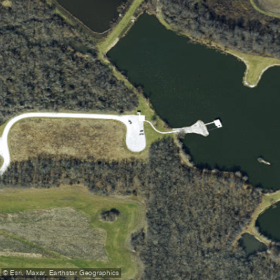
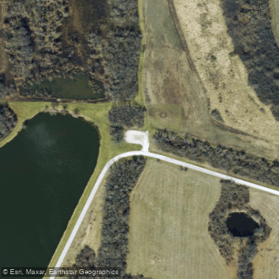
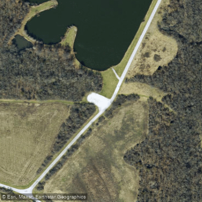
Learn how to get on Jackrabbit Lake. Uncover great paddling access points, boat ramps, and all the facilities you need for an unforgettable day on the water. Some locations shown may border or include private property. Always check property boundaries and applicable regulations before visiting. PaddleWays's Public & Private Land layer can help you plan your access with confidence.
Paddle smarter with real-time insights
Whether you're en route and conditions shift or you're looking for the best spot based on current flows, we enable you to make informed decisions on the fly.








Find Places to Paddle

Over 400,000 Places to Paddle
Every user gets free access to launch points, boat ramps, and public property parcels.


Water and weather conditions (10 day forecast)
See the best times to paddle Jackrabbit Lake and check the forecast before you go.
No forecast data available.
Paddling near Jackrabbit Lake

Missouri River
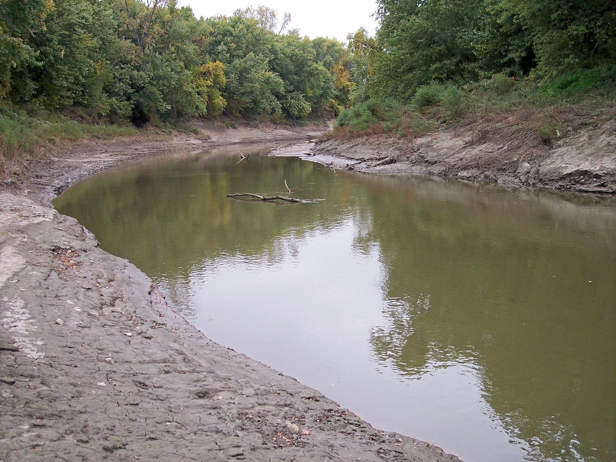
Platte River
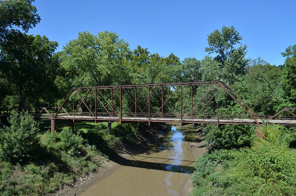
Marais des Cygnes River
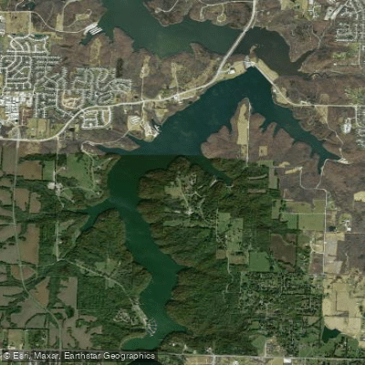
Lake Jacomo
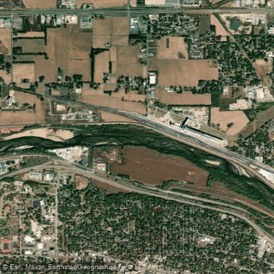
Kansas River
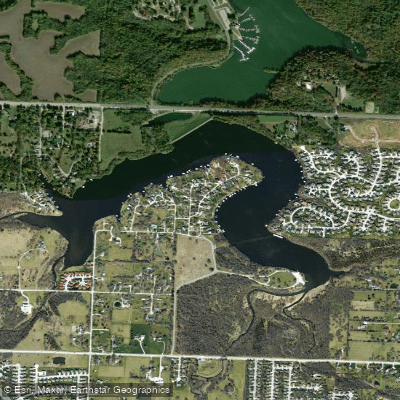
Prairie Lee Lake
Little Blue River
South Grand River
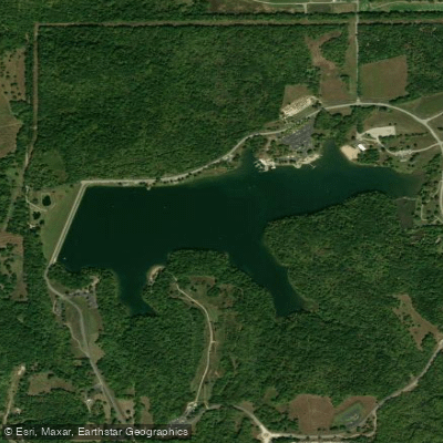
Shawnee Mission Lake
Explore Missouri waters
Top paddling waters
Popular Cities
Loading popular cities...
Explore near Jackrabbit Lake
Access points
Nearby waters
More in Missouri

Smarter Paddling Starts in the App.
Paddleways gives you everything you need to plan smarter, paddle better, and own every trip from first launch to takeout.