South Grand River
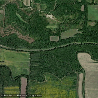
South Grand River
- Boat Ramps
- 2
- Access Points
- 2
- Campsites
- 3
The South Grand River is a significant tributary of the Osage River in west-central Missouri. It originates in Cass County near Archie and flows northeastward for approximately 130 miles before joining the Osage River arm of Harry S. Truman Reservoir in Benton County. The river drains a watershed of about 2,046 square miles across portions of 8 Missouri counties.
Paddling opportunities on the South Grand River are limited but rewarding for those seeking a quiet float through rural Missouri landscapes. The most popular section for paddling is from near Archie to Truman Reservoir, offering about 50 miles of flatwater paddling suitable for canoes and kayaks. This stretch flows through the Scarped Osage Plains, characterized by rolling hills and farmland interspersed with wooded corridors along the river. The difficulty is generally easy (Class I) with occasional riffles, making it appropriate for beginner to intermediate paddlers. However, water levels can fluctuate significantly, so checking current conditions is essential.
Spring and early summer typically offer the best paddling, with adequate water levels and pleasant weather. Fall colors can be spectacular, but low water may be an issue later in the season. Wildlife viewing is a highlight, with opportunities to spot deer, turkey, herons, and various songbirds. The river corridor provides important habitat for fish, including catfish, bass, and various sunfish species. Paddlers may also encounter remnants of the area's agricultural history, such as old bridge pilings and the occasional abandoned farm structure.
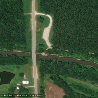
Key access points include: - SW Outer Road/Old US Hwy 71 bridge north of Archie (USGS streamgage location) - Various bridge crossings along the route - Take-out at Truman Reservoir
The South Grand River played a role in early settlement and transportation in the region. Today, it remains an important water resource for agriculture and wildlife. Paddlers should be aware of potential logjams and strainers, especially after high water events. There are no formal campgrounds along the river, so multi-day trips require careful planning and landowner permission for camping.
While not as renowned as some of Missouri's Ozark streams, the South Grand River offers a peaceful paddling experience through a less-traveled part of the state, providing a glimpse into Missouri's rural heartland and the subtle beauty of its prairie river systems.
Water access, boat ramps & amenities
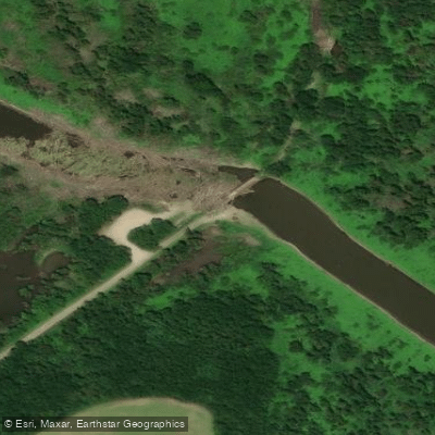
Learn how to get on South Grand River. Uncover great paddling access points, boat ramps, and all the facilities you need for an unforgettable day on the water. Some locations shown may border or include private property. Always check property boundaries and applicable regulations before visiting. PaddleWays's Public & Private Land layer can help you plan your access with confidence.
Paddle smarter with real-time insights
Whether you're en route and conditions shift or you're looking for the best spot based on current flows, we enable you to make informed decisions on the fly.








Find Places to Paddle

Over 400,000 Places to Paddle
Every user gets free access to launch points, boat ramps, and public property parcels.


Water and weather conditions (10 day forecast)
See the best times to paddle South Grand River and check the forecast before you go.
South Grand River at Urich, MO
All Flow Stations
Paddling near South Grand River

Missouri River
Marais des Cygnes River
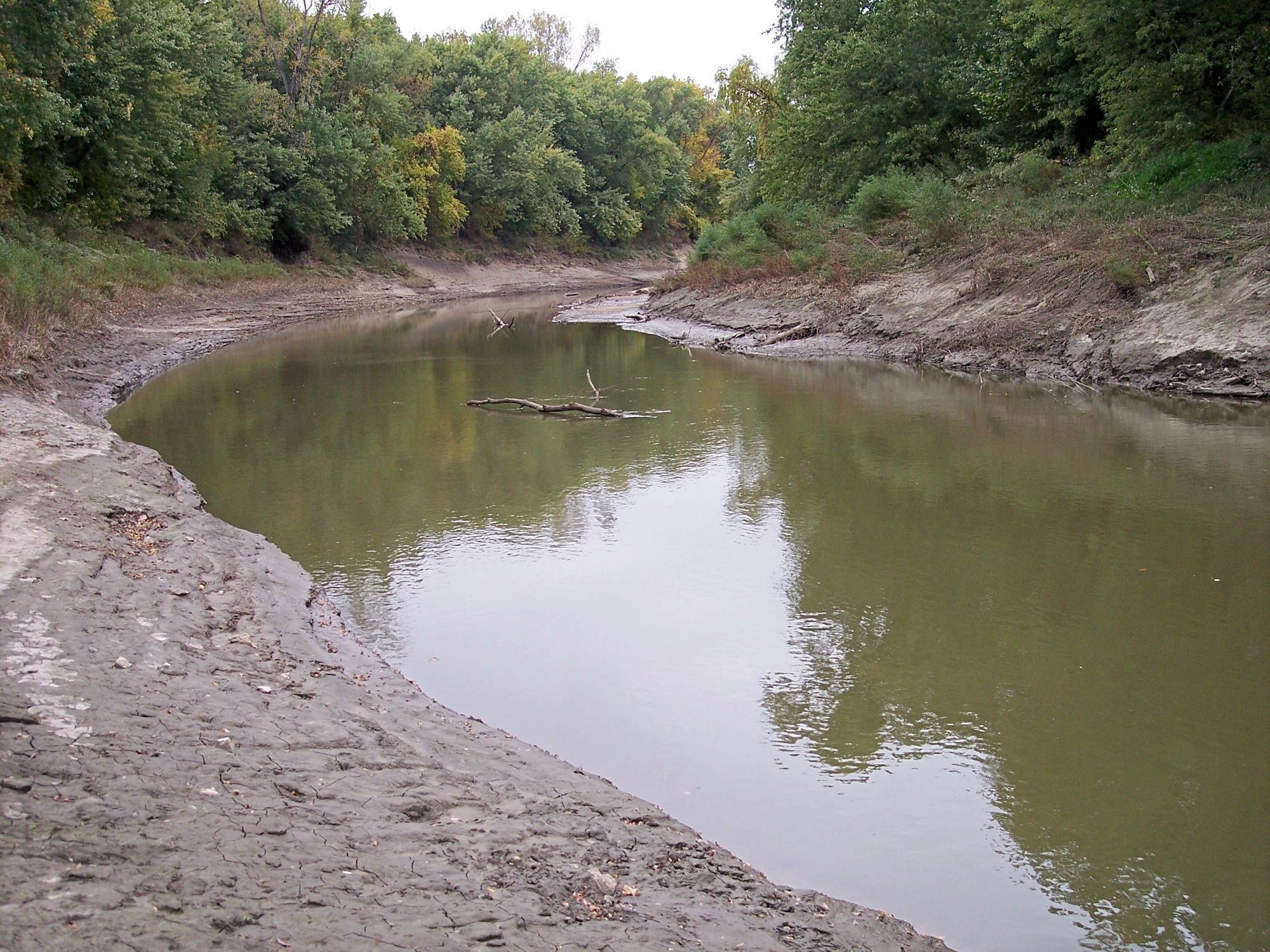
Platte River
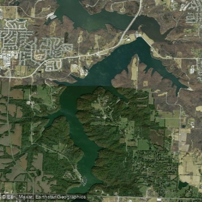
Lake Jacomo
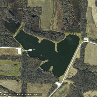
Jackrabbit Lake
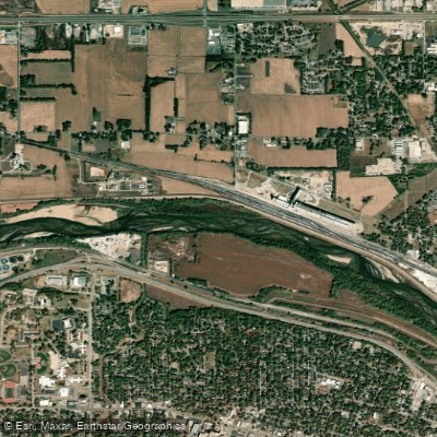
Kansas River
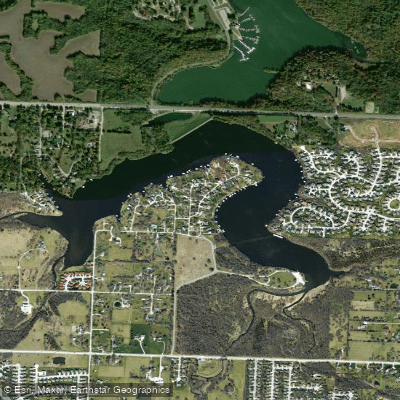
Prairie Lee Lake
Little Blue River
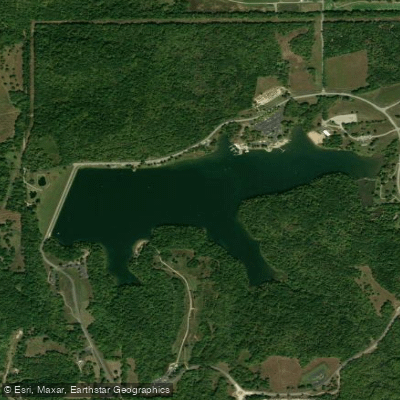
Shawnee Mission Lake
Explore Missouri waters
Top paddling waters
Popular Cities
Loading popular cities...
Explore near South Grand River
Access points
Nearby waters
More in Missouri

Smarter Paddling Starts in the App.
Paddleways gives you everything you need to plan smarter, paddle better, and own every trip from first launch to takeout.