Lake Contrary
Lake Contrary
- Boat Ramps
- 0
- Access Points
- 0
- Campsites
- 0
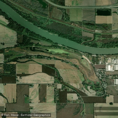
Lake Contrary is an oxbow lake formed from an abandoned channel of the Missouri River, located in Buchanan County, Missouri. The 300-acre lake features multiple access points, including Gasper Landing - a public fishing access with three jetties cooperatively maintained by Buchanan County, the Lake Contrary Development Association, and the Missouri Department of Conservation.
From a historical perspective, Lake Contrary was once a popular recreational destination, with an amusement park and resort operating on its shores in the early 20th century. The lake's ownership is complex, with the lake bed legally considered state property under county management.
The western end of the lake develops wetland characteristics when water levels are high, providing habitat for various marsh birds. The lake supports a diverse ecosystem, attracting loons, grebes, cormorants, wading birds, swans, geese, diving and dabbling ducks, gulls, terns, and shorebirds during migration and nesting seasons.
For paddlers interested in waterfront views, lakefront homes line portions of the shoreline, while other sections maintain a more natural character. Significant landmarks include the lake's west end wetlands, which can be viewed from Southwest Nelson Road/SW 46th Road when water levels permit.
It's worth noting that the lake has faced environmental challenges in recent years, with sedimentation affecting water levels. As of 2024, local authorities are considering dredging projects to enhance the lake's recreational value. Paddlers should check current conditions and water levels before planning their visit, as these can significantly impact access and navigability.
Basic facilities are available at Gasper Landing, located 1.3 miles past the beach area on SW Lake Front Lane West. The lake's position within the northern section of the Audubon Iaton/Weston River Corridor Important Bird Area makes it particularly appealing for paddlers interested in wildlife observation.
Water access, boat ramps & amenities
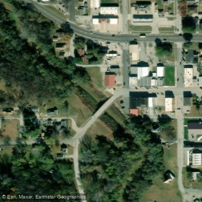
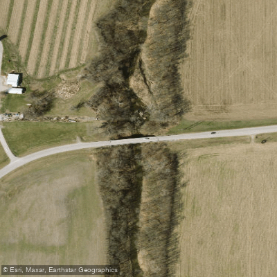
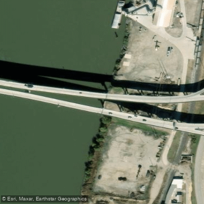
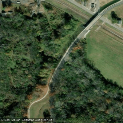
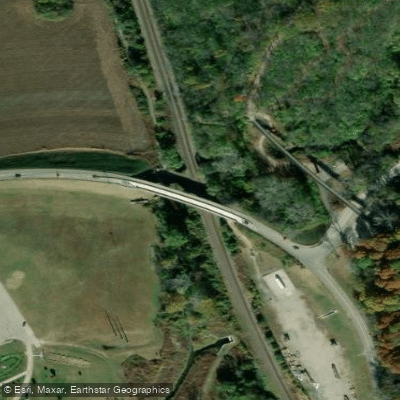
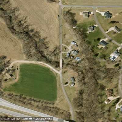
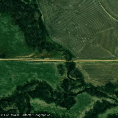
Learn how to get on Lake Contrary. Uncover great paddling access points, boat ramps, and all the facilities you need for an unforgettable day on the water. Some locations shown may border or include private property. Always check property boundaries and applicable regulations before visiting. PaddleWays's Public & Private Land layer can help you plan your access with confidence.
Paddle smarter with real-time insights
Whether you're en route and conditions shift or you're looking for the best spot based on current flows, we enable you to make informed decisions on the fly.








Find Places to Paddle

Over 400,000 Places to Paddle
Every user gets free access to launch points, boat ramps, and public property parcels.


Water and weather conditions (10 day forecast)
See the best times to paddle Lake Contrary and check the forecast before you go.
No forecast data available.
Paddling near Lake Contrary

Missouri River
Platte River
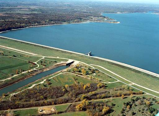
Perry Lake
One Hundred and Two River
Pony Express Lake
Nodaway River
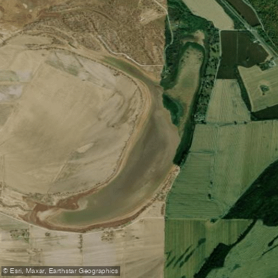
Bean Lake
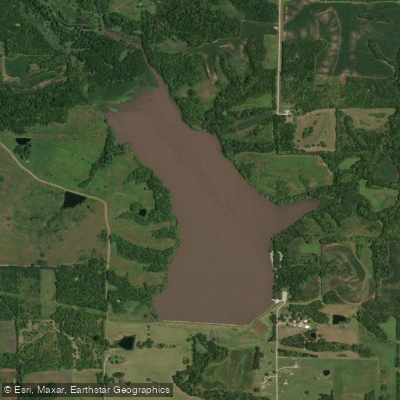
King Lake
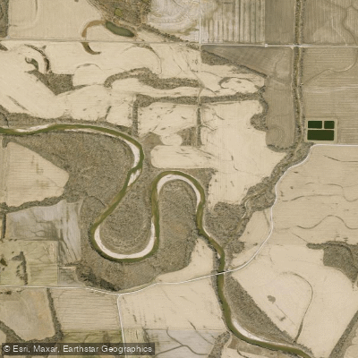
Grand River
Explore Missouri waters
Top paddling waters
Popular Cities
Loading popular cities...
Explore near Lake Contrary
Access points
Nearby waters
More in Missouri

Smarter Paddling Starts in the App.
Paddleways gives you everything you need to plan smarter, paddle better, and own every trip from first launch to takeout.