South Fork Owyhee River
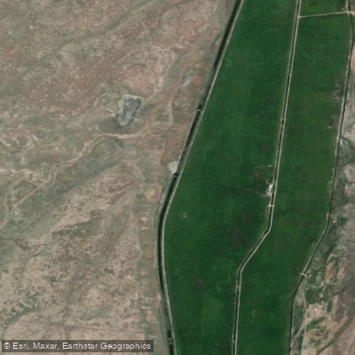
South Fork Owyhee River
- Boat Ramps
- 0
- Access Points
- 0
- Campsites
- 4
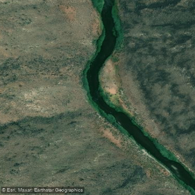
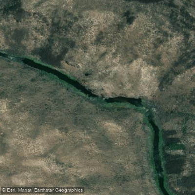
The South Fork Owyhee River is a remote and scenic waterway that flows northward from northern Nevada into southwestern Idaho. It originates in the Independence Mountains of Nevada and travels approximately 86 miles before joining the East Fork Owyhee River at Three Forks to form the main stem of the Owyhee River. The river offers a true wilderness paddling experience, with most of its course cutting through deep canyons lined with dramatic basalt and rhyolite cliffs. The South Fork is primarily designated as a Wild and Scenic River, with 31 miles classified as wild in Idaho.
Paddling opportunities range from multi-day expeditions to shorter day trips. The most common run is the 50-mile stretch from the South Fork Pipeline Launch Site in Nevada to the Idaho border, followed by the 36-mile Idaho section to Three Forks. Rapids are mostly Class II-III, with continuous whitewater in the upper reaches becoming more intermittent downstream. While not technically difficult, the river's remoteness makes it unsuitable for beginners. The best time to paddle is typically May to early June when snowmelt provides adequate flows. By mid-June, water levels often become too low for enjoyable trips.
The river corridor supports diverse wildlife, including river otters, bighorn sheep, and golden eagles. It's also prime habitat for redband trout. Key landmarks include the impressive hoodoo rock formations, considered the most dramatic in the entire Owyhee system. Side canyons like Bald Mountain Canyon offer opportunities for hiking and exploration. The 45 Ranch, a historic homestead, serves as a common takeout point.
Access is challenging, with rough dirt roads leading to put-ins and takeouts. The nearest towns are Owyhee and Mountain City in Nevada, and Jordan Valley in Oregon. Paddlers should be well-prepared with detailed maps, as cell service is non-existent and rescue options are extremely limited. For multi-day trips, numerous primitive campsites can be found along gravel bars and benches above the river. Permits are not required, but paddlers should practice Leave No Trace principles in this fragile desert ecosystem.
The South Fork Owyhee offers one of the most remote and pristine river experiences in the lower 48 states, rewarding well-prepared adventurers with solitude and breathtaking scenery.
Water access, boat ramps & amenities
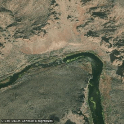
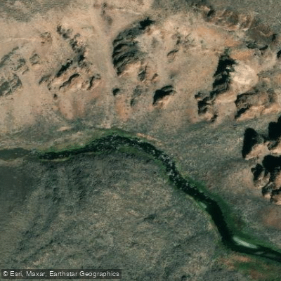
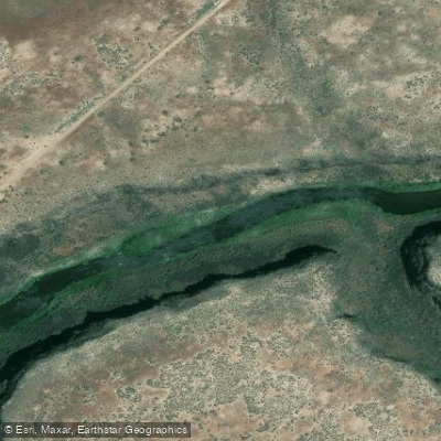
Learn how to get on South Fork Owyhee River. Uncover great paddling access points, boat ramps, and all the facilities you need for an unforgettable day on the water. Some locations shown may border or include private property. Always check property boundaries and applicable regulations before visiting. PaddleWays's Public & Private Land layer can help you plan your access with confidence.
Paddle smarter with real-time insights
Whether you're en route and conditions shift or you're looking for the best spot based on current flows, we enable you to make informed decisions on the fly.








Find Places to Paddle

Over 400,000 Places to Paddle
Every user gets free access to launch points, boat ramps, and public property parcels.


Water and weather conditions (10 day forecast)
See the best times to paddle South Fork Owyhee River and check the forecast before you go.
No forecast data available.
Paddling near South Fork Owyhee River
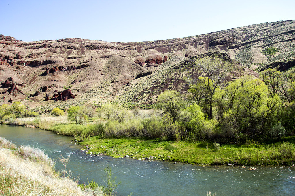
Owyhee River
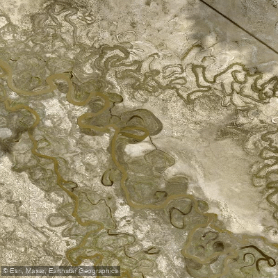
Humboldt River
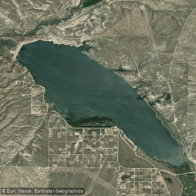
South Fork Reservoir
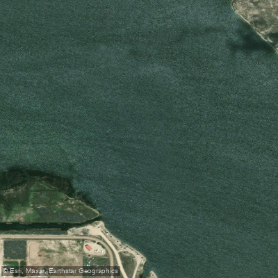
South Fork Humboldt River
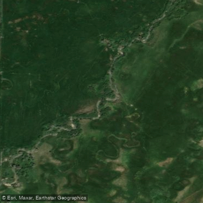
Lamoille Creek
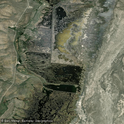
Ruby Lake
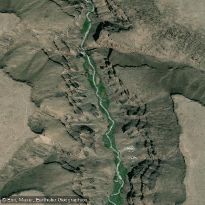
Bruneau River
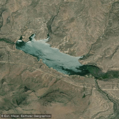
Willow Creek Reservoir
Explore Nevada waters
Top paddling waters
Popular Cities
Loading popular cities...
Explore near South Fork Owyhee River
Access points
Nearby waters
More in Nevada

Smarter Paddling Starts in the App.
Paddleways gives you everything you need to plan smarter, paddle better, and own every trip from first launch to takeout.