Curated by PaddleWays
RouteClass I
- Distance
- 36.5 mi
- Paddle time
- Multi-day
- Put-in → take-out
- Arroyo Aguaje de la Petaca Access → Lone Juniper Access
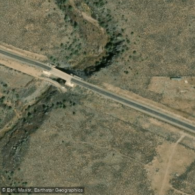
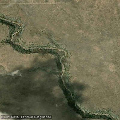
The Arroyo Aguaje de la Petaca is a seasonal stream located in northern New Mexico, originating in the Carson National Forest and flowing through the rugged terrain of the Rocky Mountains. This arroyo meanders through Rio Arriba and Taos Counties before joining the Rio Grande in the Ca������on del Rio Grande, Taos County, at an elevation of 6,050 feet (1,840 meters) above sea level. As an arroyo, the Aguaje de la Petaca experiences significant seasonal fluctuations in water levels, with flow typically peaking during spring snowmelt and summer monsoon rains. This variability makes it a challenging waterway for consistent paddling opportunities, and it may be dry for extended periods.
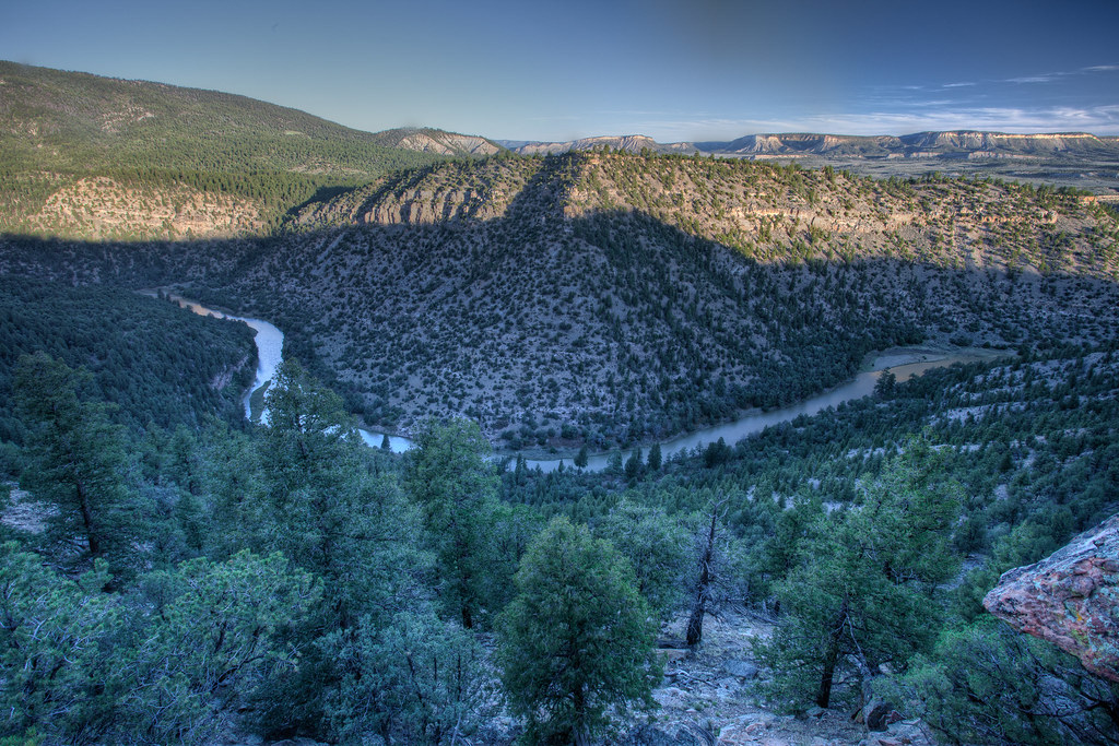
The stream's course takes it through diverse landscapes within the Carson National Forest and Rio Grande del Norte National Monument, offering scenic vistas of high desert and mountain environments. While specific paddling sections are not well-documented, the arroyo likely presents a mix of difficulty levels ranging from calm stretches to potentially technical segments during high water periods.
For adventurers interested in exploring the Arroyo Aguaje de la Petaca, the primary put-in point is near the Carson National Forest boundary. The take-out is at its confluence with the Rio Grande in the Ca������on del Rio Grande. However, due to its unpredictable nature, it's crucial to check current conditions and water levels before planning any water-based activities.
The surrounding ecosystem supports a variety of flora and fauna adapted to the high desert climate, including pi������on-juniper woodlands, sagebrush, and potentially riparian vegetation along the watercourse. Wildlife in the area may include mule deer, coyotes, and various bird species.
Access to the arroyo is limited, with the nearest towns being Taos and Questa. Visitors should be prepared for remote conditions and carry appropriate safety equipment. The area's cultural significance is tied to its location within traditional Native American lands and its role in the broader Rio Grande watershed.
Currently, the Arroyo Aguaje de la Petaca is part of the Wild and Scenic River eligibility evaluation process, which speaks to its potential recreational and scenic value. However, due to its seasonal nature, it may be more suitable for hiking and exploration during drier periods rather than as a consistent paddling destination.
Safety considerations are paramount when visiting the arroyo. Flash floods are a significant risk during rainy seasons, and the remote location means emergency services may be far away. Visitors should always inform others of their plans and carry adequate supplies.
While multi-day trips specifically on the Arroyo Aguaje de la Petaca are not common due to its intermittent flow, the surrounding area offers opportunities for extended backcountry experiences combining hiking and potential paddling when conditions allow.
Curated routes
Hand-picked by the PaddleWays team, with put-ins, take-outs, paddle times and the hazards along the way.
RouteClass I
Hazards
No paddler has reported a hazard here yet, so these are the dams, falls and big rapids on our map. Hazards change with flows and storms, so check them before you launch.
From the community
Nobody has shared a trip on Arroyo Aguaje de la Petaca yet. Paddle it, then tell the next paddler how it went.
See exactly where the public can get on and off the river. Launch points and boat ramps are paired with PaddleWays' public land data so you know where you can legally land.
Public shoreline
49%of the river's shoreline is public
Most of the riverbank is private. Launch, land and camp only at public access points.
Flows, weather and a route-by-route verdict, so you know which stretch of the Arroyo Aguaje de la Petaca is worth paddling today.
No forecast data available.
Live flows, marked hazards and fresh trip reports from paddlers who were just on the water, all in one place.





Every user gets free access to launch points, boat ramps, and public property parcels.
Loading popular cities...
PaddleWays gives you everything you need to plan smarter, paddle better, and own every trip from first launch to takeout.