Gila River
Gila River
- Boat Ramps
- 2
- Access Points
- 9
- Campsites
- 13
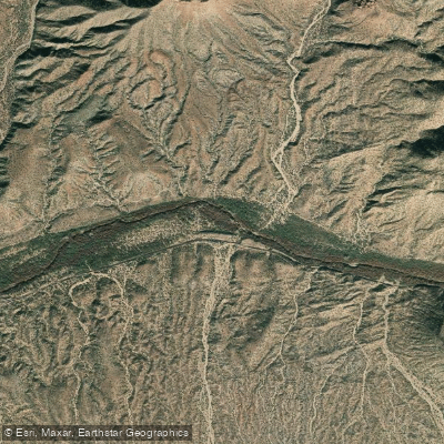
The Gila River is a remarkable waterway that flows through southwestern New Mexico and southern Arizona, offering paddlers a diverse range of experiences from remote wilderness runs to scenic desert floats. Beginning in the Mogollon Mountains of New Mexico, the river winds its way westward, carving through canyons and valleys before eventually joining the Colorado River.
The river's upper reaches in New Mexico provide some of the most pristine and challenging paddling opportunities. The Gila Wilderness Run, a spectacular 38-mile journey through the world's first designated wilderness area, is the crown jewel of the river. This remote Class III section typically takes 3 days to complete and offers paddlers a true wilderness experience with sycamore-lined banks, craggy canyons, and abundant wildlife.
It's best suited for experienced kayakers and canoeists, with rafting not recommended due to the narrow, technical nature of the river. Downstream, the Gila Middle Box and Lower Box sections offer a mix of whitewater and scenic beauty. The 18-mile Middle Box run features more challenging Class II-III+ rapids, while the 16.5-mile Lower Box provides a gentler Class I-II experience through a desert oasis.
As the river enters Arizona, it transitions into longer, more mellow stretches ideal for multi-day trips, such as the 23-mile Gila Box Riparian National Conservation Area run. The difficulty of the Gila varies significantly along its course, ranging from calm Class I floats to technical Class III+ whitewater, making it suitable for a wide range of skill levels.
However, even on easier sections, paddlers should be prepared for potential hazards like strainers, log jams, and the occasional barbed wire fence across the river. The best time to paddle the Gila is typically from mid-March to late April, when spring runoff provides optimal water levels. However, this can vary depending on winter snowpack and seasonal temperatures. Some lower sections in Arizona may have enough water for paddling year-round.
The Gila's ecosystem is a unique blend of mountain and desert environments, supporting a diverse array of flora and fauna. Paddlers may encounter cottonwood and sycamore trees along the banks, as well as wildlife such as bighorn sheep, mule deer, and a variety of bird species including bald eagles and peregrine falcons.
Notable landmarks along the river include the Gila Cliff Dwellings National Monument near the Wilderness Run put-in, offering a glimpse into the area's rich Native American history. The river itself holds great cultural significance, having sustained human populations for thousands of years and playing a crucial role in the development of the Southwest.
Access points and nearby towns vary depending on the section. Silver City, NM serves as a gateway to the upper reaches, while Safford, AZ is a common base for trips in the Gila Box area. Shuttles can be challenging due to the remote nature of many sections, so proper planning is essential.
Safety considerations include being prepared for remote wilderness travel, potential flash floods, and desert conditions on lower sections. Paddlers should always check current flow levels and be aware of their skill limitations. Multi-day trips are popular, particularly on the Wilderness Run and in the Gila Box, offering extended immersion in the river's unique environment.
The Gila River provides a remarkable paddling experience, from its origins in the pristine wilderness of New Mexico to its desert stretches in Arizona. Its diverse character and rich natural and cultural history make it a true gem of Southwestern rivers, offering something for paddlers of all interests and abilities.
Water access, boat ramps & amenities
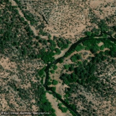
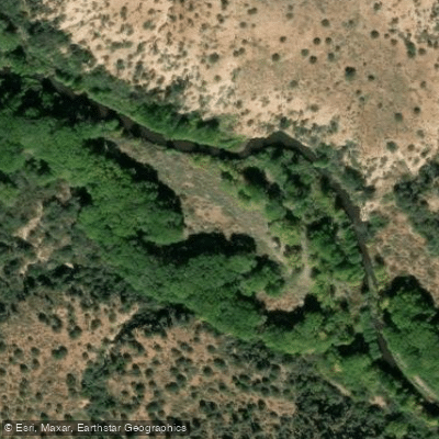
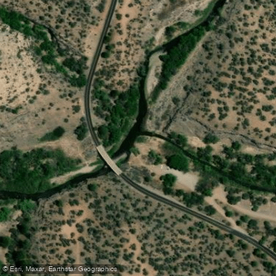
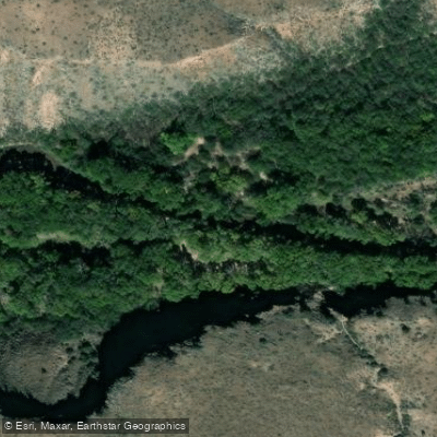
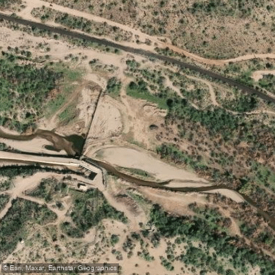
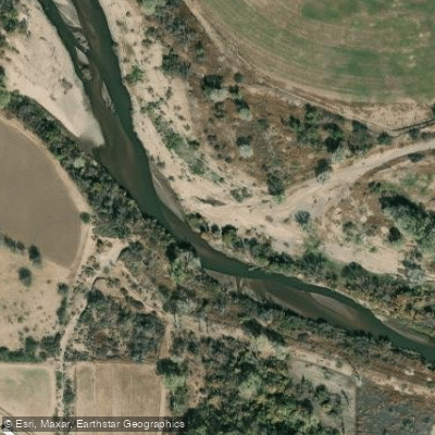
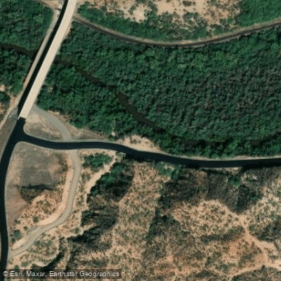
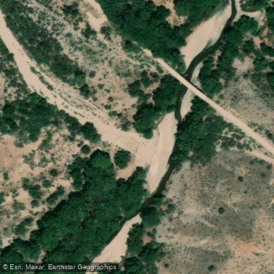
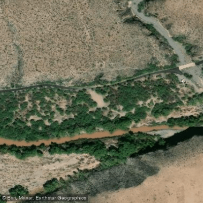
Learn how to get on Gila River. Uncover great paddling access points, boat ramps, and all the facilities you need for an unforgettable day on the water. Some locations shown may border or include private property. Always check property boundaries and applicable regulations before visiting. PaddleWays's Public & Private Land layer can help you plan your access with confidence.
Paddle smarter with real-time insights
Whether you're en route and conditions shift or you're looking for the best spot based on current flows, we enable you to make informed decisions on the fly.








Find Places to Paddle

Over 400,000 Places to Paddle
Every user gets free access to launch points, boat ramps, and public property parcels.


Water and weather conditions (10 day forecast)
See the best times to paddle Gila River and check the forecast before you go.
GILA RIVER AT DUNCAN, AZ
All Flow Stations
Paddling near Gila River
Salt River
Verde River
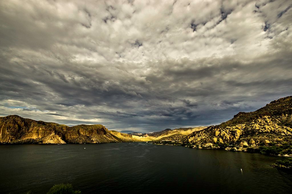
Canyon Lake
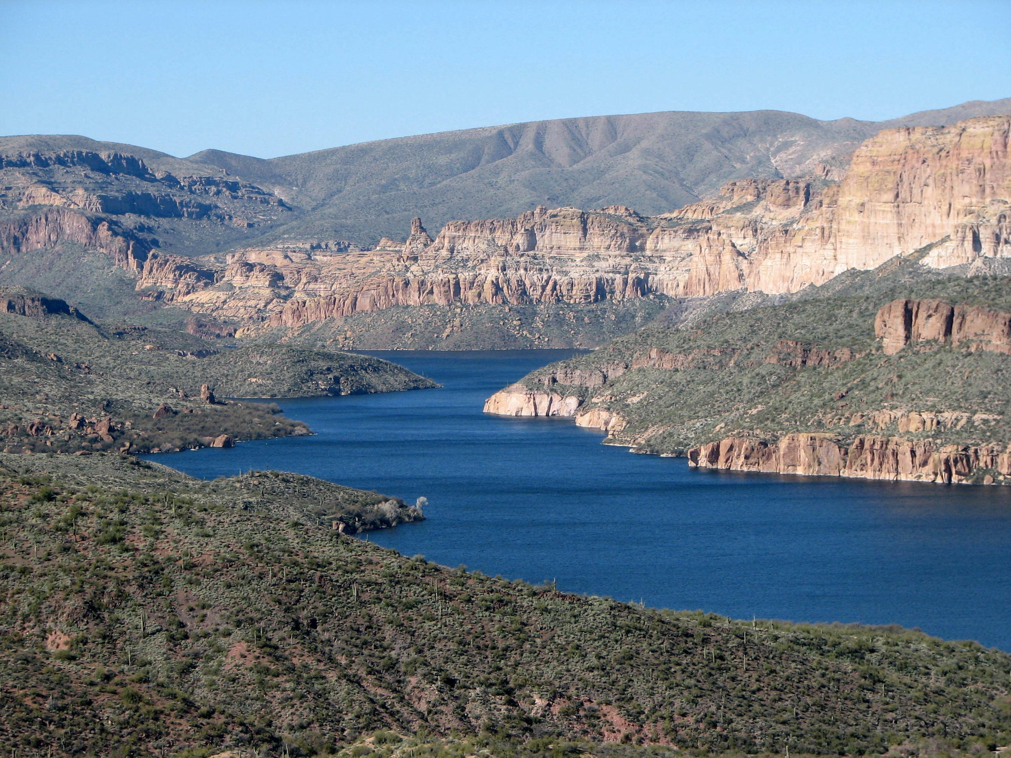
Apache Lake
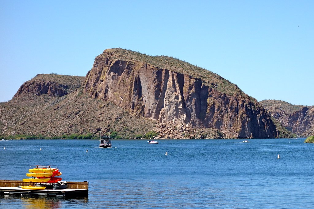
Saguaro Lake
Theodore Roosevelt Lake
Santa Cruz River
Tonto Creek
H-Z Wash
Explore New Mexico waters
Top paddling waters
Popular Cities
Loading popular cities...
Explore near Gila River
Access points
Nearby waters
More in New Mexico

Smarter Paddling Starts in the App.
Paddleways gives you everything you need to plan smarter, paddle better, and own every trip from first launch to takeout.