Tonto Creek
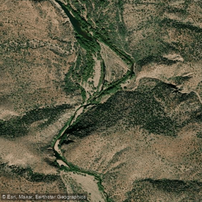
Tonto Creek
- Boat Ramps
- 0
- Access Points
- 0
- Campsites
- 22
Tonto Creek originates beneath the Mogollon Rim at approximately 6,600 feet elevation in Coconino County, Arizona, flowing southward through sedimentary rock formations surrounded by dense ponderosa pine forests. As it descends through Gila County, the creek carves a dramatic canyon over 1,000 feet deep in places, transitioning from forested highlands into the rugged terrain of the Hellsgate Wilderness before eventually reaching the Sonoran Desert near Gisela. The creek maintains year-round flow for approximately 30 miles through its canyon section, creating exceptional whitewater opportunities.
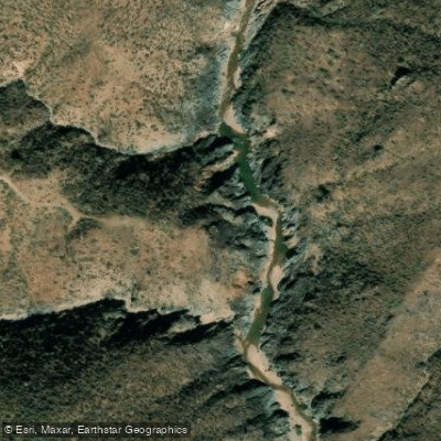
The most popular paddling segment runs from Rye Creek confluence through a technical gorge featuring Class III rapids under normal conditions, though flows can surge to Class V during high water events. The Rye Creek Rapid stands as the first major challenge, followed by multiple Class III rapids and holes through a canyon that narrows to just 12 feet at one point. Beyond the gorge, the character mellows to Class I-II water. This run requires advanced whitewater skills, proper equipment, and careful timing—the creek rises and falls rapidly, making conditions highly variable.
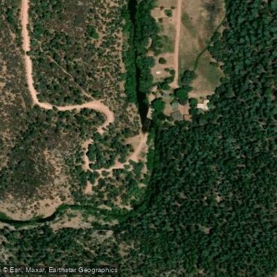
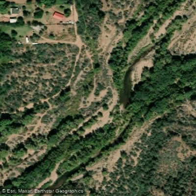
Access points include the Tonto Creek Campground area along Forest Road 289 near the Fish Hatchery (17 miles east of Payson), Horton and Upper Tonto Creek Recreation Sites, and Bear Flat via Forest Road 405. The take-out near Gun Creek lies approximately 2.7 miles southeast of Jake's Corner on Highway 188. High-clearance 4WD vehicles are essential for many access roads, particularly after rainfall.
The creek supports populations of rainbow, brown, and brook trout in its cooler upper reaches, with wild brook trout inhabiting remote pools at higher elevations. Riparian corridors host Arizona sycamore, Arizona alder, and willow, while the surrounding canyon walls display metamorphic rocks in striking shades of red, gray, and white. Wildlife includes black bears, mountain lions, and numerous bird species.
Swimming holes punctuate the canyon, with a popular pool forming beneath a waterfall approximately two miles upstream from the main canyon entry. Beyond this point, the creek alternates between open stretches and deep-water channels requiring swimming or technical scrambling. Paddlers should note that barbed wire fences may cross the creek in cattle management areas. The remote nature of Tonto Creek demands self-sufficiency—rescue would be extremely difficult.
Spring runoff (March-May) typically provides optimal flows, though monsoon rains (July-September) can create dangerous flash flood conditions. The creek's technical difficulty, limited access, and rapid flow changes make it suitable only for experienced whitewater paddlers with wilderness navigation skills and appropriate safety equipment.
Water access, boat ramps & amenities
Learn how to get on Tonto Creek. Uncover great paddling access points, boat ramps, and all the facilities you need for an unforgettable day on the water. Some locations shown may border or include private property. Always check property boundaries and applicable regulations before visiting. PaddleWays's Public & Private Land layer can help you plan your access with confidence.
Paddle smarter with real-time insights
Whether you're en route and conditions shift or you're looking for the best spot based on current flows, we enable you to make informed decisions on the fly.








Find Places to Paddle

Over 400,000 Places to Paddle
Every user gets free access to launch points, boat ramps, and public property parcels.


Water and weather conditions (10 day forecast)
See the best times to paddle Tonto Creek and check the forecast before you go.
TONTO CREEK ABOVE GUN CREEK, NEAR ROOSEVELT, AZ
Paddling near Tonto Creek
Salt River
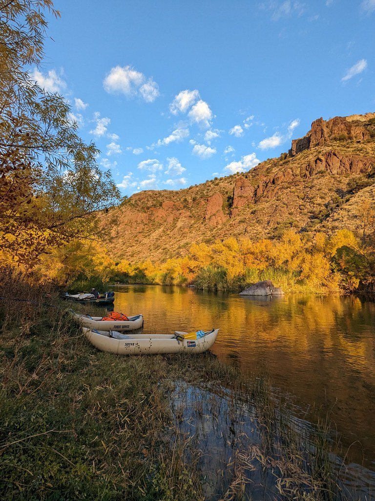
Verde River
Agua Fria River
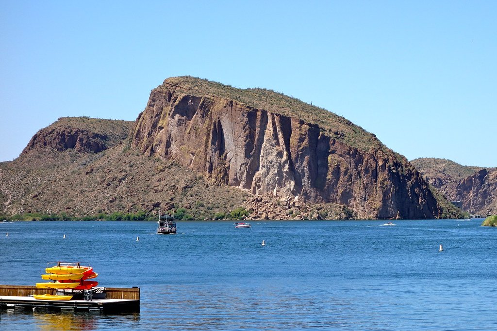
Saguaro Lake
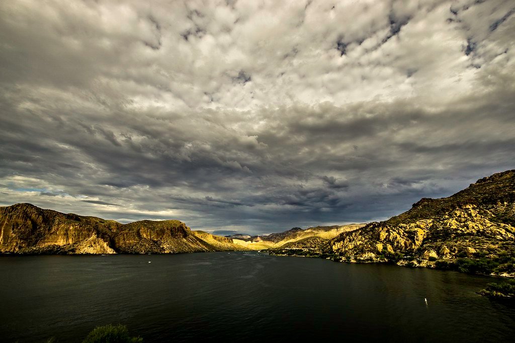
Canyon Lake
Bartlett Reservoir
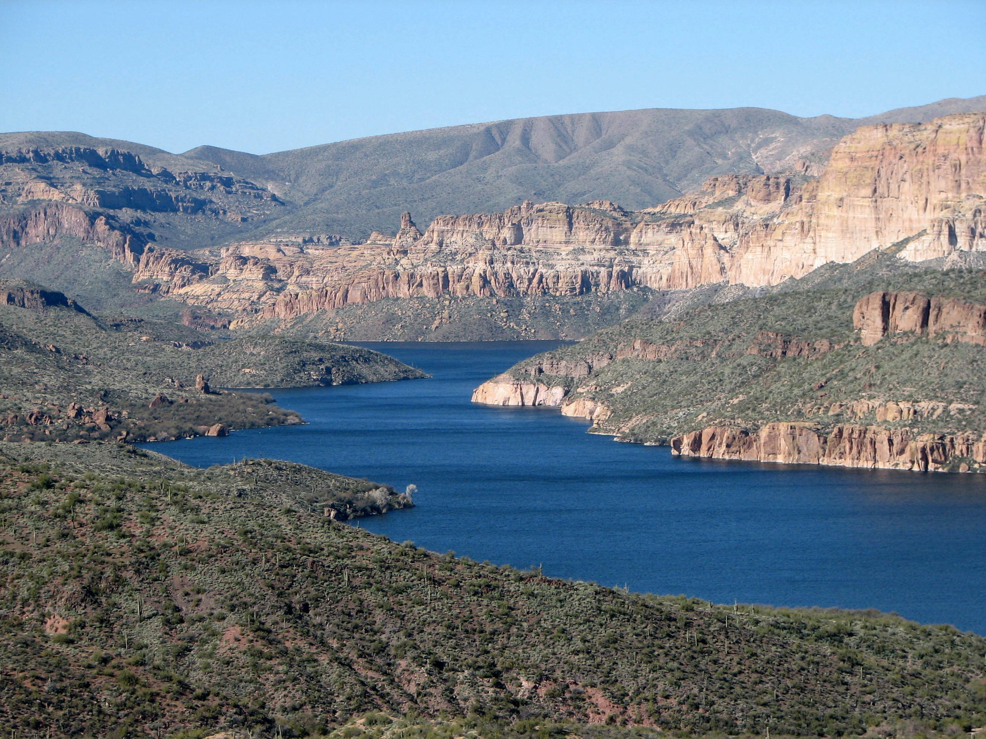
Apache Lake
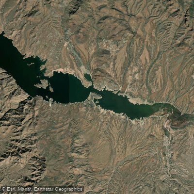
Theodore Roosevelt Lake
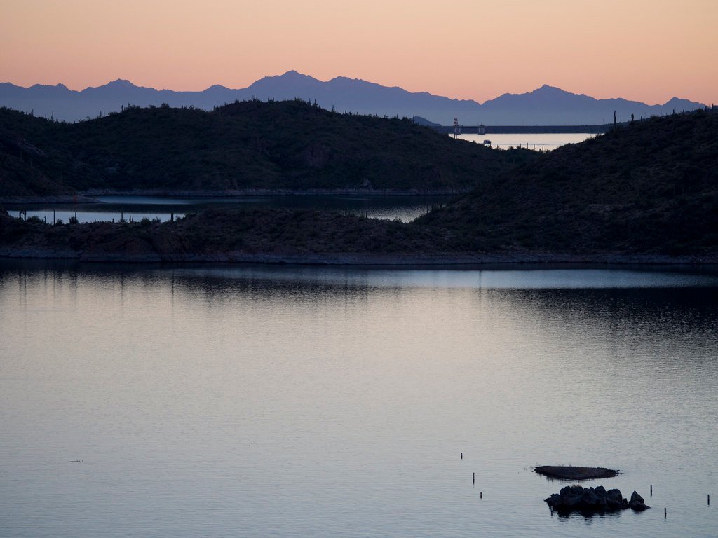
Lake Pleasant
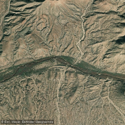
Gila River
Explore Arizona waters
Top paddling waters
Popular Cities
Loading popular cities...
Explore near Tonto Creek
Access points
Nearby waters
More in Arizona

Smarter Paddling Starts in the App.
Paddleways gives you everything you need to plan smarter, paddle better, and own every trip from first launch to takeout.