Theodore Roosevelt Lake
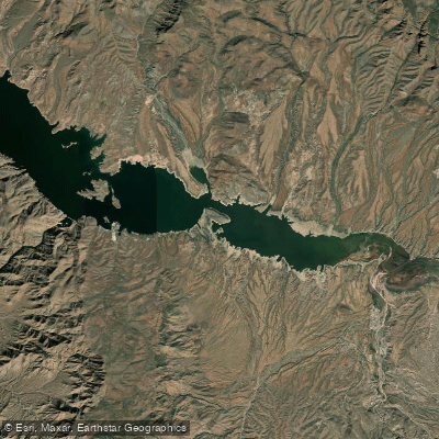
Theodore Roosevelt Lake
- Boat Ramps
- 1
- Access Points
- 1
- Campsites
- 16
Theodore Roosevelt Lake is Arizona's largest lake, spanning 21,500 acres with 128 miles of shoreline. Located in the Tonto National Forest, it offers diverse paddling opportunities amidst scenic desert landscapes. The lake features several access points, including Roosevelt Lake Marina, Cholla Campground, and Windy Hill Campground.
Paddlers should be aware of motorized boat traffic, especially on weekends. Early mornings are ideal for calmer conditions and wildlife viewing. The northwest end of the lake is a no-wake zone, providing a quieter paddling experience. Bald eagles and beavers inhabit this area, offering excellent wildlife observation opportunities.
Summer temperatures can exceed 100°F, making spring (March-April) and fall (October-November) the most comfortable seasons for paddling. Water levels fluctuate seasonally, exposing submerged trees when levels are low. Paddlers should exercise caution around these obstacles.
A Tonto Pass ($8 daily or $80 annual) is required for lake access. Additionally, a $4 daily watercraft sticker is needed for all boats, including non-motorized craft. The Tonto Creek arm closes from November 5 to February 15 to protect wildlife.
Notable sights include the Roosevelt Dam, Roosevelt Lake Bridge, and nearby Tonto National Monument with its ancient cliff dwellings. The lake's red rock formations and saguaro-studded shorelines provide a quintessential Arizona backdrop.
Facilities at Roosevelt Lake Marina include boat rentals, a restaurant, and camping options. Multiple campgrounds around the lake offer additional amenities for overnight trips. Water testing indicates the lake is safe for swimming, though paddlers should always practice water safety and be prepared for changing weather conditions.
Water access, boat ramps & amenities
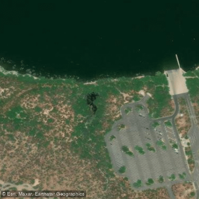
Learn how to get on Theodore Roosevelt Lake. Uncover great paddling access points, boat ramps, and all the facilities you need for an unforgettable day on the water. Some locations shown may border or include private property. Always check property boundaries and applicable regulations before visiting. PaddleWays's Public & Private Land layer can help you plan your access with confidence.
Paddle smarter with real-time insights
Whether you're en route and conditions shift or you're looking for the best spot based on current flows, we enable you to make informed decisions on the fly.








Find Places to Paddle

Over 400,000 Places to Paddle
Every user gets free access to launch points, boat ramps, and public property parcels.


Water and weather conditions (10 day forecast)
See the best times to paddle Theodore Roosevelt Lake and check the forecast before you go.
No forecast data available.
Paddling near Theodore Roosevelt Lake
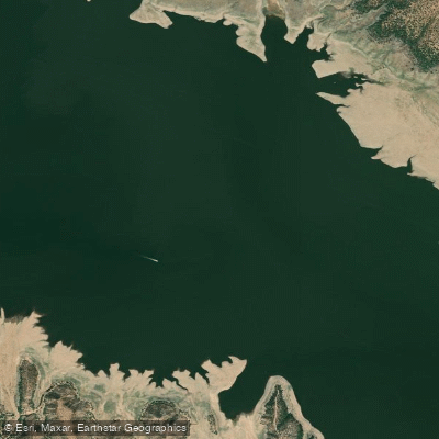
Salt River
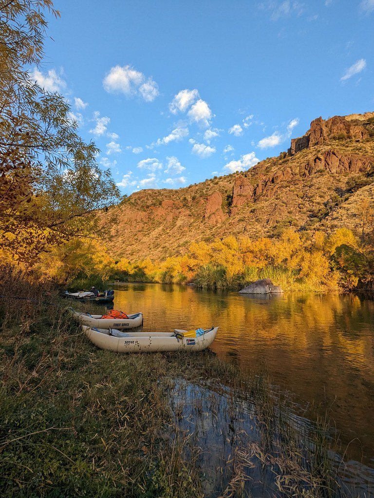
Verde River
Agua Fria River
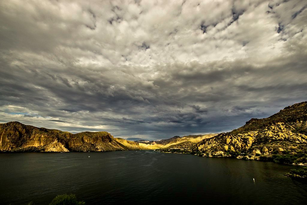
Canyon Lake
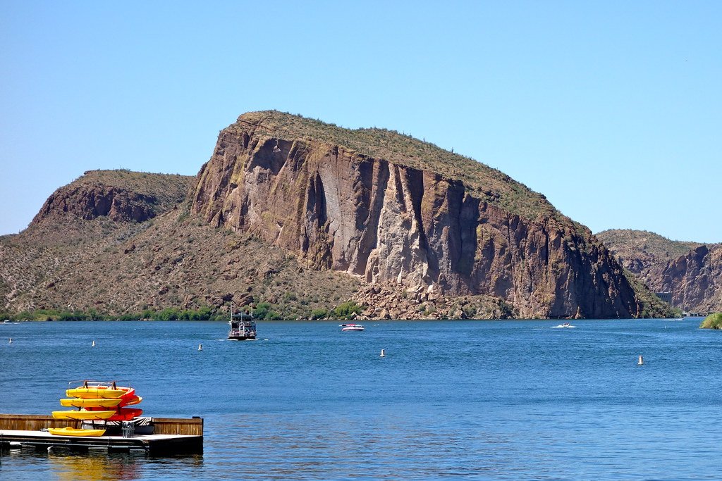
Saguaro Lake
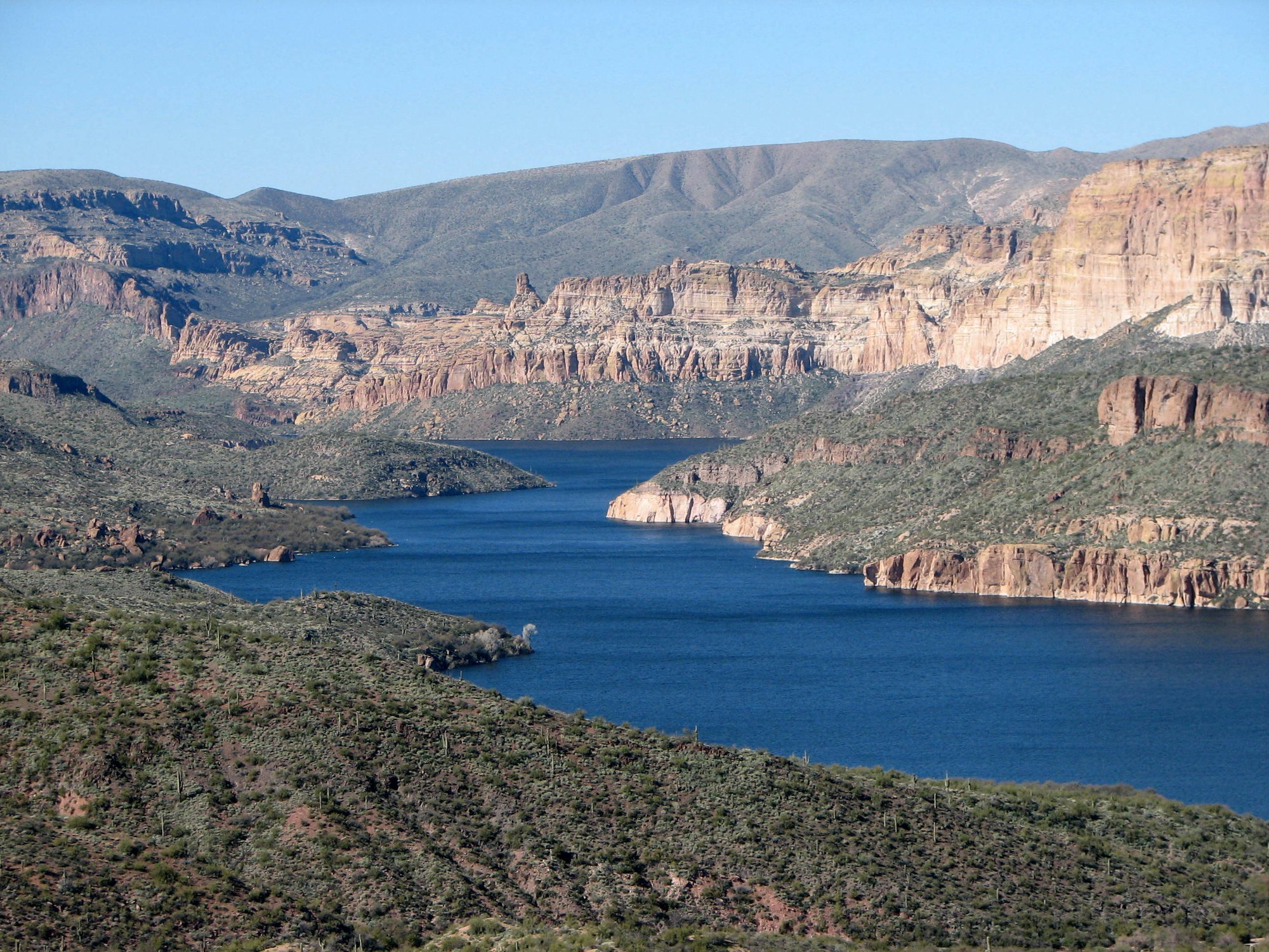
Apache Lake
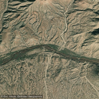
Gila River
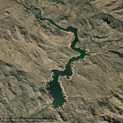
Bartlett Reservoir
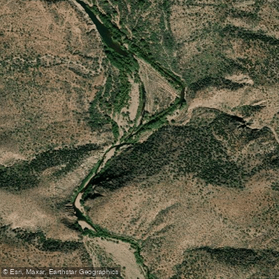
Tonto Creek
Explore Arizona waters
Top paddling waters
Popular Cities
Loading popular cities...
Explore near Theodore Roosevelt Lake
Access points
Nearby waters
More in Arizona

Smarter Paddling Starts in the App.
Paddleways gives you everything you need to plan smarter, paddle better, and own every trip from first launch to takeout.