Curated by PaddleWays
RouteClass I–III
- Distance
- 9 mi
- Paddle time
- ~2.5 hrs
- Best for
- Intermediate paddlers
- Put-in → take-out
- Corkins Access → Los Ojos Access
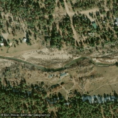
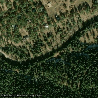
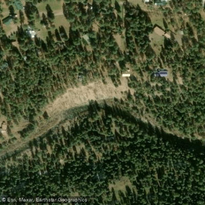
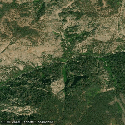
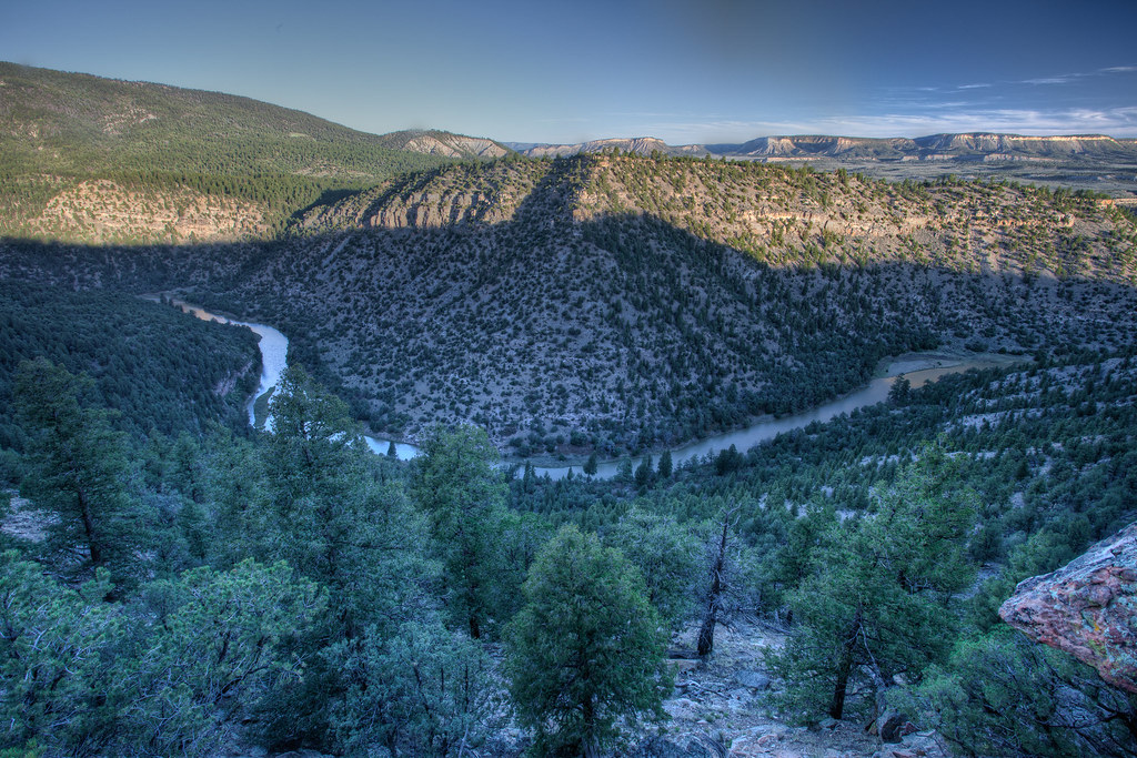
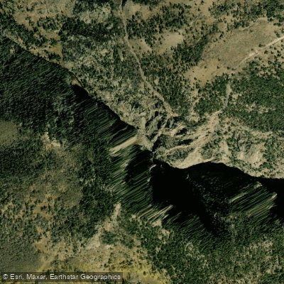
The Rio Brazos is a rugged and challenging river tucked away in the remote mountains of northern New Mexico. Originating high in the San Juan Mountains near the Colorado border, it flows south for approximately 25 miles before joining the Rio Chama. The river carves through an increasingly dramatic canyon, with towering walls reaching heights of up to 2,000 feet in the famous Brazos Box section.
Paddling opportunities on the Rio Brazos range from moderately challenging to extremely difficult. The upper section above Corkins Lodge features Class III to V rapids with mandatory portages, suitable only for expert whitewater kayakers. Below Corkins Lodge, the river eases somewhat to Class I-III, though it remains a technical run through a spectacular canyon setting. The Brazos Box, a remote 20-mile stretch encompassing both upper and lower sections, is renowned for its stunning scenery and infrequent descents. This multi-day wilderness trip requires advanced paddling skills and careful planning due to its inaccessibility.
Water levels are typically best in late spring and early summer during snowmelt, though the river can run year-round. The surrounding landscape transitions from alpine forests to high desert ecosystems, supporting wildlife like mule deer, black bears, and golden eagles. Key landmarks include the impressive Brazos Cliffs, visible from the upper river, and the increasingly towering canyon walls of the Brazos Box.
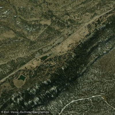
Primary access points are the Rio Nutrias Valley off Forest Road 93 for the upper section, Corkins Lodge on State Highway 512 for the middle, and the confluence with the Rio Chama at the Highway 95 bridge for the lower takeout. The Rio Brazos holds cultural significance to local Native American tribes and early Spanish settlers. Today, it remains a prized destination for adventurous paddlers seeking a true wilderness experience.
Safety considerations include the river's remoteness, technical rapids, and potential for dangerous swims in the narrow canyon. Multi-day trips require careful planning for camping and emergency evacuation routes. For those with the skills and preparation, the Rio Brazos offers an unforgettable journey through one of New Mexico's most spectacular and challenging river canyons.
Curated routes
Hand-picked by the PaddleWays team, with put-ins, take-outs, paddle times and the hazards along the way.
RouteClass I–III
Hazards
No hazards are marked on Rio Brazos yet. That is not the same as none being there: if you find one, report it for the next paddler.
From the community
Nobody has shared a trip on Rio Brazos yet. Paddle it, then tell the next paddler how it went.
See exactly where the public can get on and off the river. Launch points and boat ramps are paired with PaddleWays' public land data so you know where you can legally land.
Public shoreline
0%of the river's shoreline is public
Most of the riverbank is private. Launch, land and camp only at public access points.
Flows, weather and a route-by-route verdict, so you know which stretch of the Rio Brazos is worth paddling today.
Live flows, marked hazards and fresh trip reports from paddlers who were just on the water, all in one place.





Every user gets free access to launch points, boat ramps, and public property parcels.
Loading popular cities...
PaddleWays gives you everything you need to plan smarter, paddle better, and own every trip from first launch to takeout.