Curated by PaddleWays
RouteClass I
- Distance
- 20.1 mi
- Paddle time
- ~6.5 hrs
- Put-in → take-out
- Route 64 Access → Heron Lake Boat Ramp
Occasional small snags or fallen logs
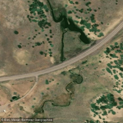
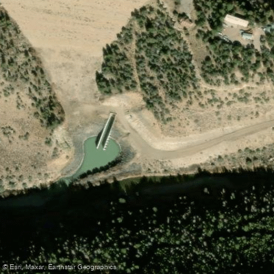
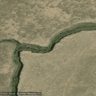
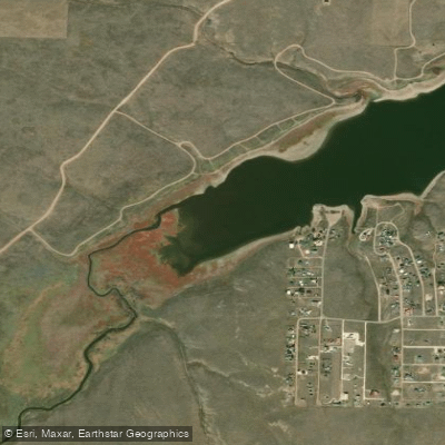
Willow Creek originates in the high country of the San Juan Mountains in southern Colorado, flowing southward into Rio Arriba County, New Mexico, where it becomes a significant tributary of the Rio Chama. The creek passes through Heron Lake, created by Heron Dam, before joining the Rio Chama just above its confluence with the main stem. This waterway plays a crucial role in the San Juan-Chama Project, which diverts water from the San Juan River basin through the Continental Divide via the Azotea Tunnel into Willow Creek for storage in Heron Reservoir.
Paddling opportunities on Willow Creek center primarily around Heron Lake State Park, where the reservoir provides flatwater paddling conditions ideal for kayaking and canoeing. The lake environment offers Class I paddling suitable for beginners and families, with the Willow Creek area of Heron Lake featuring a designated launch ramp and campground. The no-wake restriction on Heron Lake ensures calm conditions for paddlers, making it particularly attractive for those seeking peaceful exploration rather than whitewater excitement.
The reservoir sits at approximately 7,200 feet elevation, creating a high-altitude environment with cool summer temperatures and significant winter snowpack. Spring runoff typically peaks in May and June, while late summer and fall offer the most stable water levels for paddling. The lake's capacity of over 400,000 acre-feet means water levels can fluctuate considerably based on snowpack and water management needs.
Wildlife in the area includes osprey, bald eagles, mule deer, and occasionally black bears along the shoreline. The surrounding landscape features ponderosa pine and mixed conifer forests transitioning to high desert vegetation at lower elevations. Anglers frequently encounter rainbow trout, brown trout, and kokanee salmon, with special regulations governing salmon fishing seasons.
Access to Willow Creek paddling areas is via State Road 95, approximately six miles west of the community of Los Ojos. The nearest town with services is Tierra Amarilla, about 15 miles to the southeast, while Chama lies roughly 20 miles to the north.
The creek and reservoir exist within traditional lands of the Jicarilla Apache Nation and early Spanish settlers, with the area's water management history deeply intertwined with regional agriculture and acequia systems that date to the 1600s. Heron Dam, completed in 1971, fundamentally altered the creek's character, transforming it from a free-flowing mountain stream into a regulated reservoir system. Paddlers should note that only San Juan-Chama Project water is stored in Heron Reservoir, with all native Rio Grande water released downstream.
The area experiences rapid weather changes typical of high-altitude locations, and afternoon thunderstorms are common during summer months.
Curated routes
Hand-picked by the PaddleWays team, with put-ins, take-outs, paddle times and the hazards along the way.
RouteClass I
Hazards
No paddler has reported a hazard here yet, so these are the dams, falls and big rapids on our map. Hazards change with flows and storms, so check them before you launch.
From the community
Nobody has shared a trip on Willow Creek yet. Paddle it, then tell the next paddler how it went.
See exactly where the public can get on and off the river. Launch points and boat ramps are paired with PaddleWays' public land data so you know where you can legally land.
Public shoreline
6%of the river's shoreline is public
Most of the riverbank is private. Launch, land and camp only at public access points.
Flows, weather and a route-by-route verdict, so you know which stretch of the Willow Creek is worth paddling today.
No forecast data available.
Live flows, marked hazards and fresh trip reports from paddlers who were just on the water, all in one place.





Every user gets free access to launch points, boat ramps, and public property parcels.
Loading popular cities...
PaddleWays gives you everything you need to plan smarter, paddle better, and own every trip from first launch to takeout.