Great South Bay
- Saltwater
- Bay
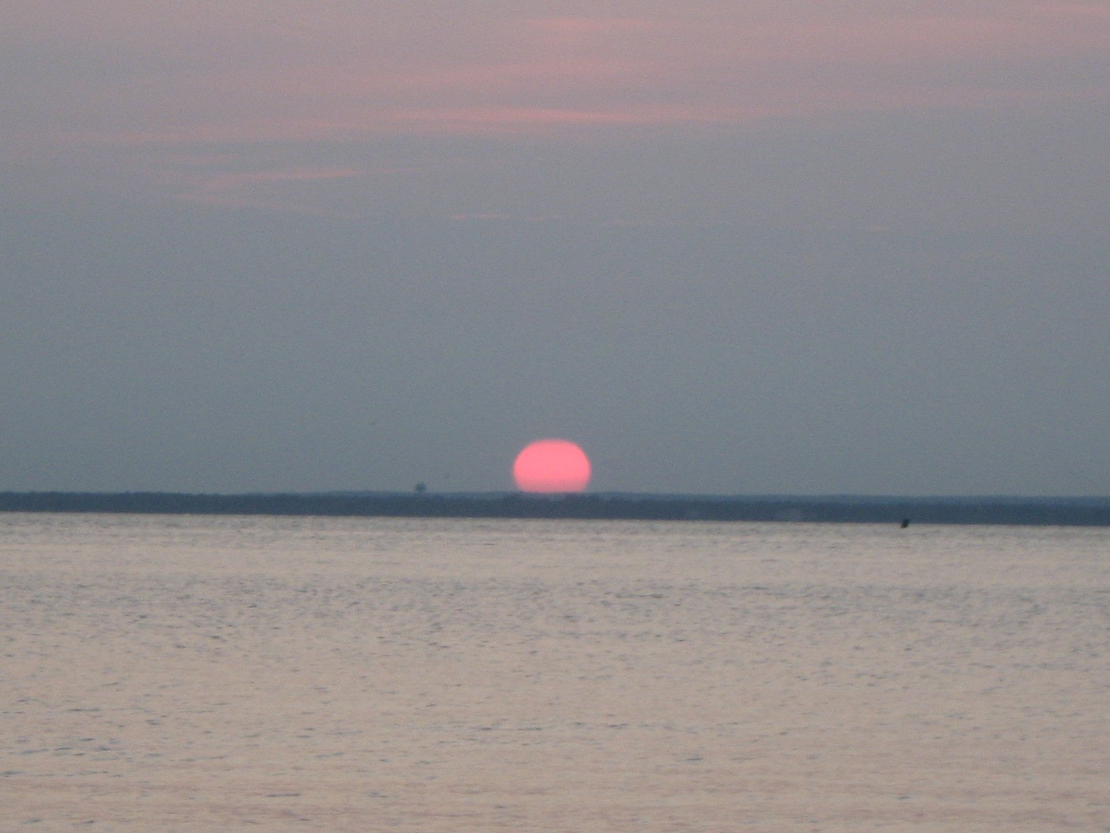
Great South Bay
- Saltwater
- Bay
- Sq. miles
- 91
- Boat Ramps
- 4
- Access Points
- 0
- Campsites
- 4
Great South Bay is a large, shallow coastal lagoon stretching approximately 45 miles along the south shore of Long Island, protected from the Atlantic Ocean by the barrier island of Fire Island. Its average depth is about 4 feet, with a maximum depth of 20 feet, creating generally calm conditions though wind-driven chop can develop. The bay is accessible through numerous formal boat launches, including Captree State Park, Heckscher State Park, Tanner Park in Copiague, Venetian Shores Park in Lindenhurst, and Smith Point County Marina in Shirley. Many of these are hard-surface ramps with parking for cars and trailers, though fees or permits are often required. Kayakers can also access the bay via rivers like the Connetquot and Carmans, which offer scenic marshland paddling before opening into the bay.
Tidal currents are a significant factor for trip planning, with strong currents reported, particularly near the Captree area and bridges. Paddlers should time crossings and longer journeys with the tide, aiming for a flood (incoming) tide to assist travel toward the mainland. The bay experiences a mix of conditions; it can be glassy and calm but also become choppy and "wonky" with opposing winds and currents. Exposure to wind across its broad, shallow expanse can create fetch, making conditions challenging for smaller craft. Motorboat traffic is present, especially in main channels and near inlets, so paddlers are advised to stay in shallower areas when possible for safety. The western entrance from the ocean at Fire Island Inlet may involve crossing active channels with boat traffic.
The paddling experience varies from peaceful, residential backwaters lined with expensive homes and canals to open bay vistas and natural marsh islands that serve as bird nesting sites. Wildlife includes osprey and seabirds. Water quality has faced historical environmental challenges, and conservation efforts are ongoing. For a multi-hour trip, a crossing from Jones Beach Island to Massapequa covers about six miles, while a paddle along the north side of Fire Island can be a 22-mile out-and-back journey. Early morning starts are recommended to avoid crowds and wind, and twilight paddles offer serene conditions with sunset views. All kayaks should be rinsed with fresh water after use due to the saltwater environment.
Water access, boat ramps & amenities
Learn how to get on Great South Bay. Uncover great paddling access points, boat ramps, and all the facilities you need for an unforgettable day on the water. Some locations shown may border or include private property. Always check property boundaries and applicable regulations before visiting. PaddleWays's Public & Private Land layer can help you plan your access with confidence.
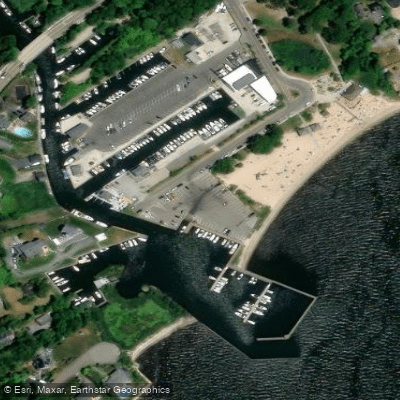
Great South Bay Boat Ramp
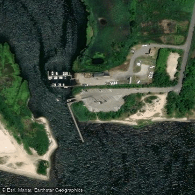
Great South Bay Boat Ramp
Timber Point County Park
Great River Boat Ramp
Paddle smarter with real-time insights
Whether you're en route and conditions shift or you're looking for the best spot based on current flows, we enable you to make informed decisions on the fly.








Find Places to Paddle

Over 400,000 Places to Paddle
Every user gets free access to launch points, boat ramps, and public property parcels.


Tides, wind & water conditions (10 day forecast)
On open water, wind and tide matter as much as the weather. See the best times to paddle Great South Bay and check the marine forecast before you launch.
Loading tide predictions…
Paddling near Great South Bay

Housatonic River
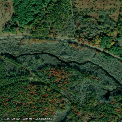
Peconic River

Hudson River

Croton River
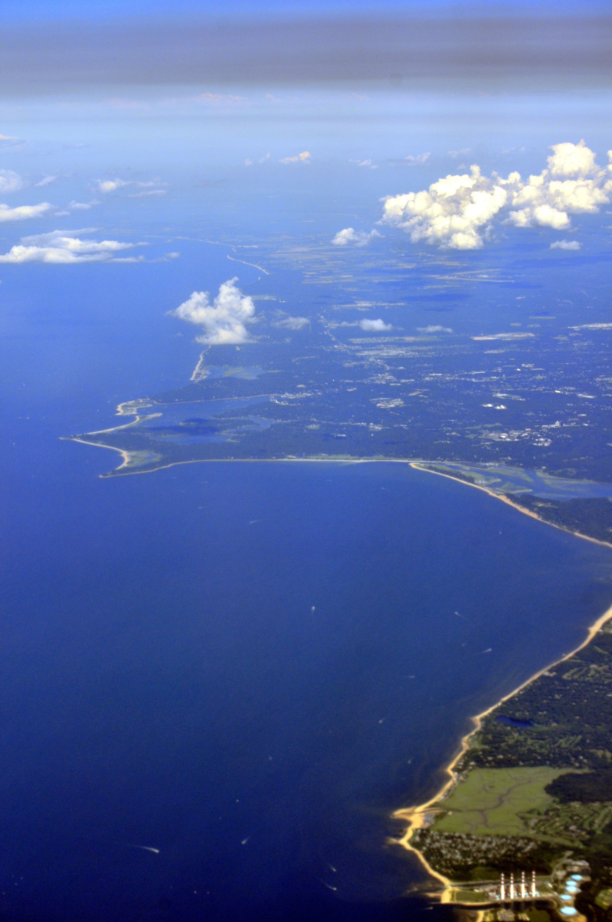
Smithtown Bay
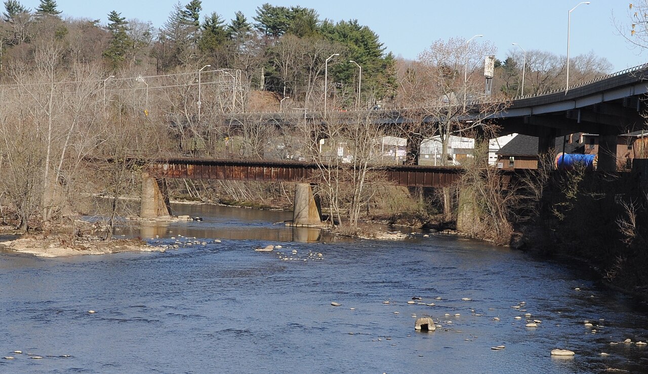
Naugatuck River
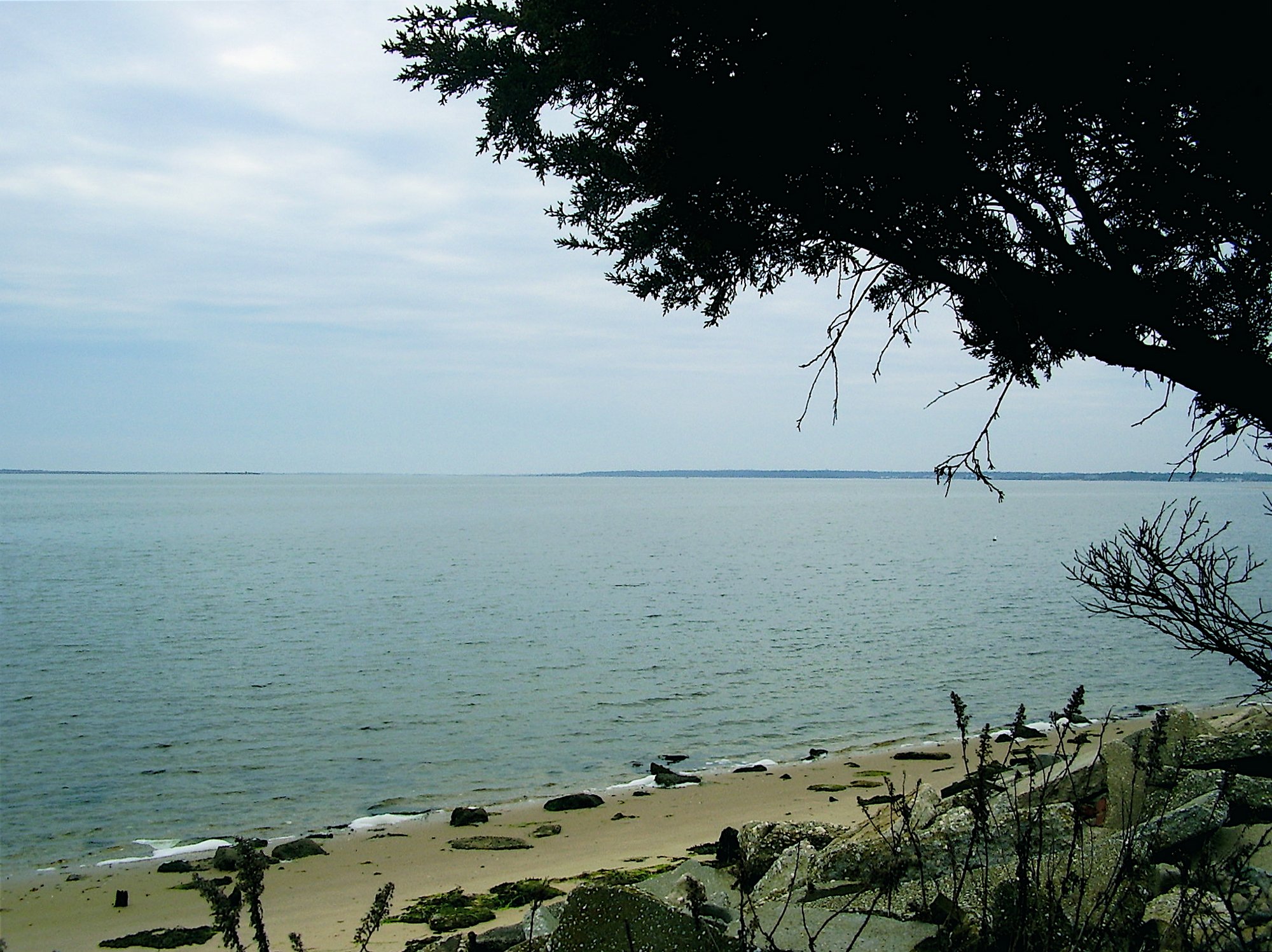
Moriches Bay
Nissequogue River
Explore New York waters
Top paddling waters
Popular Cities
Loading popular cities...
Explore near Great South Bay
Access points
Nearby waters
More in New York

Smarter Paddling Starts in the App.
Paddleways gives you everything you need to plan smarter, paddle better, and own every trip from first launch to takeout.