Naugatuck River
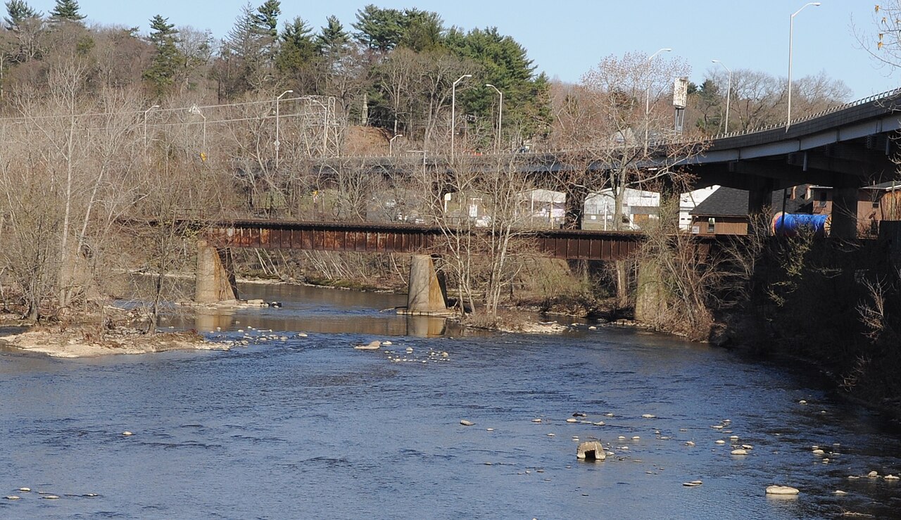
Naugatuck River
- Boat Ramps
- 0
- Access Points
- 7
- Campsites
- 2
The Naugatuck River is a 40-mile long waterway in western Connecticut, flowing south from its origins in Torrington to its confluence with the Housatonic River in Derby. As the largest tributary of the Housatonic, the Naugatuck carves out a scenic valley through the western part of the state. Paddling opportunities on the Naugatuck range from flatwater sections to light rapids, offering experiences for various skill levels.
The river is divided into several notable sections: - Torrington to Thomaston: Class II-III rapids, suitable for intermediate paddlers - Southern Waterbury to Beacon Falls: 10 miles of Class II-III water with a mix of gentle paddling and light rapids - Seymour to Derby: A 5-mile stretch of Class II water ending at the Housatonic confluence
The river's difficulty varies seasonally, with higher water levels in spring and after heavy rains creating more challenging conditions. Late spring through early fall generally offers the best paddling, though the lower sections can be paddled year-round.
Wildlife along the Naugatuck has rebounded significantly in recent decades. Paddlers may spot a variety of birds, fish, and other riparian species. The river supports populations of trout and is stocked with Atlantic salmon in certain sections.
Key landmarks include the Tingue Dam and fish bypass in Seymour, and several historic mill towns that line the river's banks. The Naugatuck River Greenway, a developing multi-use trail, follows portions of the river and provides additional recreational opportunities.
Popular access points include: - Platts Mills Road in Waterbury - The Green Bridge in Seymour - O'Sullivan's Island Recreation Park in Derby
Historically, the Naugatuck River played a crucial role in Connecticut's industrial development, powering numerous mills and factories. While this led to severe pollution in the past, extensive cleanup efforts have dramatically improved water quality and ecosystem health.
Safety considerations include checking water levels before paddling, being aware of dams requiring portage, and understanding the tidal influence in the lower section near Derby. Local regulations may apply to certain access points and river sections.
For those interested in multi-day trips, the entire length of the river can be paddled in 2-3 days, with several towns along the way offering camping options or accommodations. However, most paddlers typically enjoy day trips on specific sections of the Naugatuck.
Water access, boat ramps & amenities
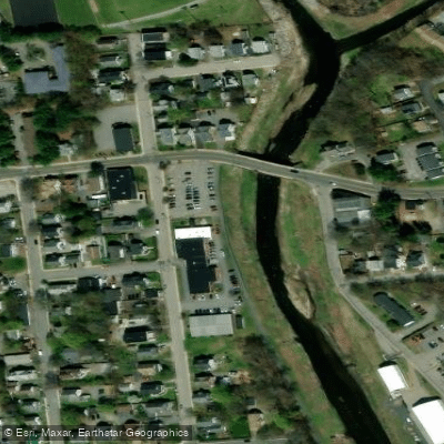
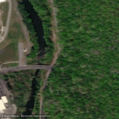
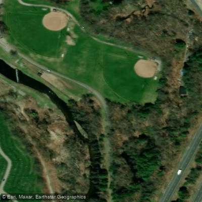
Learn how to get on Naugatuck River. Uncover great paddling access points, boat ramps, and all the facilities you need for an unforgettable day on the water. Some locations shown may border or include private property. Always check property boundaries and applicable regulations before visiting. PaddleWays's Public & Private Land layer can help you plan your access with confidence.
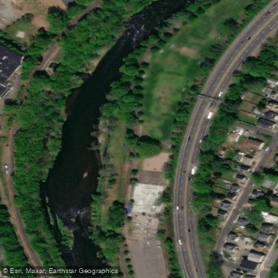
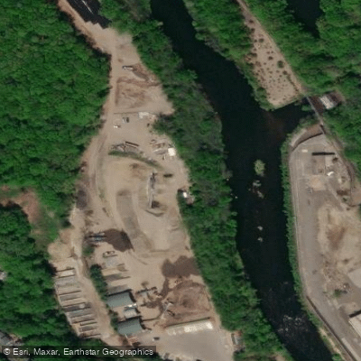


Paddle smarter with real-time insights
Whether you're en route and conditions shift or you're looking for the best spot based on current flows, we enable you to make informed decisions on the fly.








Find Places to Paddle

Over 400,000 Places to Paddle
Every user gets free access to launch points, boat ramps, and public property parcels.


Water and weather conditions (10 day forecast)
See the best times to paddle Naugatuck River and check the forecast before you go.
NAUGATUCK RIVER AT WATERBURY, CT
All Flow Stations
Paddling near Naugatuck River

Housatonic River

Connecticut River
The Thimbles
Farmington River
Twomile Island Bar
Gardner Lake

Hudson River
Morris Cove

Croton River
Explore Connecticut waters
Top paddling waters
Popular Cities
Loading popular cities...
Explore near Naugatuck River
Access points
- Torrington Riverside Trail
- Frost Road Bridge Access
- John Toro Sports Complex Access
- Linden Park Access
- Riverside Trail Access
- Ansonia Riverwalk Park Access
- Naugatuck State Forest Access
- Naugatuck River Bridge
- Naugatuck River Bridge
- Naugatuck River Bridge
- Naugatuck River & R.r. Bridge
- Naugatuck River Bridge
- All 380 spots
Nearby waters
More in Connecticut

Smarter Paddling Starts in the App.
Paddleways gives you everything you need to plan smarter, paddle better, and own every trip from first launch to takeout.