Smithtown Bay
- Saltwater
- Bay
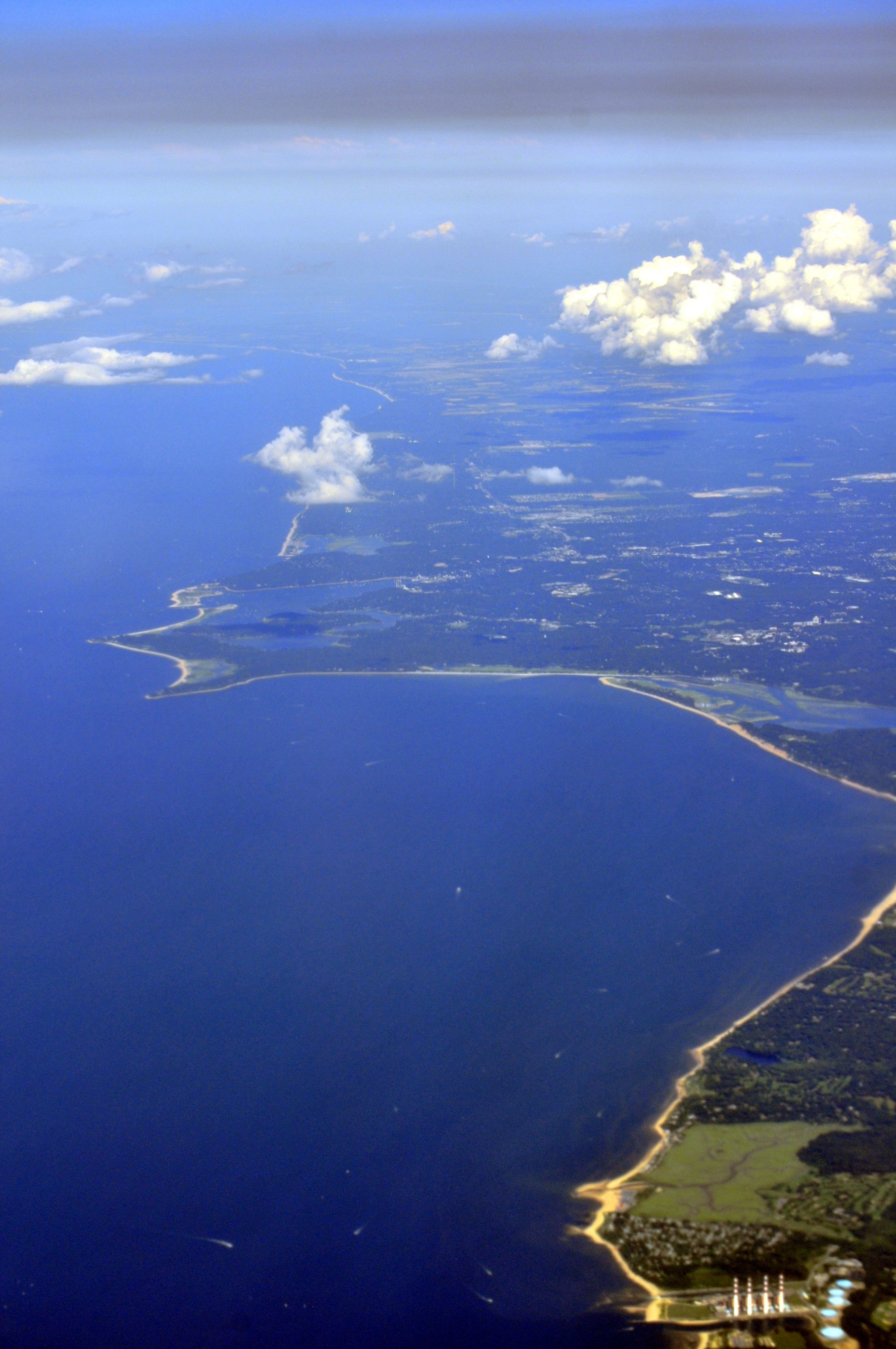
Smithtown Bay
- Saltwater
- Bay
- Sq. miles
- 35
- Boat Ramps
- 0
- Access Points
- 1
- Campsites
- 0
Smithtown Bay is a wide, open bay on the north shore of Long Island, situated between the entrances to Huntington Harbor to the west and Port Jefferson Harbor to the east. The bay's westernmost part is the mouth of the Nissequogue River, while its easternmost part leads to Stony Brook Harbor. The bay fronts Governor Alfred E. Smith Sunken Meadow State Park, home to Sunken Meadow Beach. Paddling conditions are directly influenced by Long Island Sound; if the Sound is rough, the bay will be as well, making it exposed to wind and wave action. A primary launch point for accessing the bay is from the Nissequogue River, which flows into it. Launch sites for canoes and kayaks exist near the river's mouth in Kings Park and further south at Nissequogue River State Park, with another launch on the southern side of Jericho Turnpike in Smithtown. The Nissequogue River is a tidal river, and timing the trip is crucial. Paddling south upriver is best done on a rising tide, which provides an advantage, while the return trip to the bay will be more difficult against the ebbing current. A trip from the river mouth to Paul T. Given Park and back is approximately 11-13 miles round trip. Within Smithtown Bay itself, there are no amenities or facilities for boaters. Local regulations prohibit towing a person on water skis or a surfboard within 200 feet of the shoreline in Smithtown Bay. The area is known for birdwatching, with the river and bay attracting waterfowl, herons, and egrets. The surrounding parks feature tidal wetlands, hardwood forests, and dramatic bluffs along the coast, such as those at Callahan's Beach. Due to the presence of Sunken Meadow Beach, paddlers should maintain a safe distance offshore to avoid swimmers, and beaching a boat at Sunken Meadow is prohibited.
Water access, boat ramps & amenities
Learn how to get on Smithtown Bay. Uncover great paddling access points, boat ramps, and all the facilities you need for an unforgettable day on the water. Some locations shown may border or include private property. Always check property boundaries and applicable regulations before visiting. PaddleWays's Public & Private Land layer can help you plan your access with confidence.
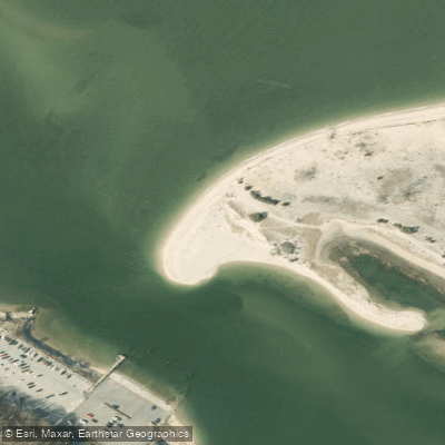
Paddle smarter with real-time insights
Whether you're en route and conditions shift or you're looking for the best spot based on current flows, we enable you to make informed decisions on the fly.








Find Places to Paddle

Over 400,000 Places to Paddle
Every user gets free access to launch points, boat ramps, and public property parcels.


Tides, wind & water conditions (10 day forecast)
On open water, wind and tide matter as much as the weather. See the best times to paddle Smithtown Bay and check the marine forecast before you launch.
Loading tide predictions…
Paddling near Smithtown Bay

Housatonic River

Hudson River
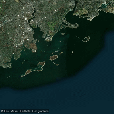
Norwalk Islands

Croton River
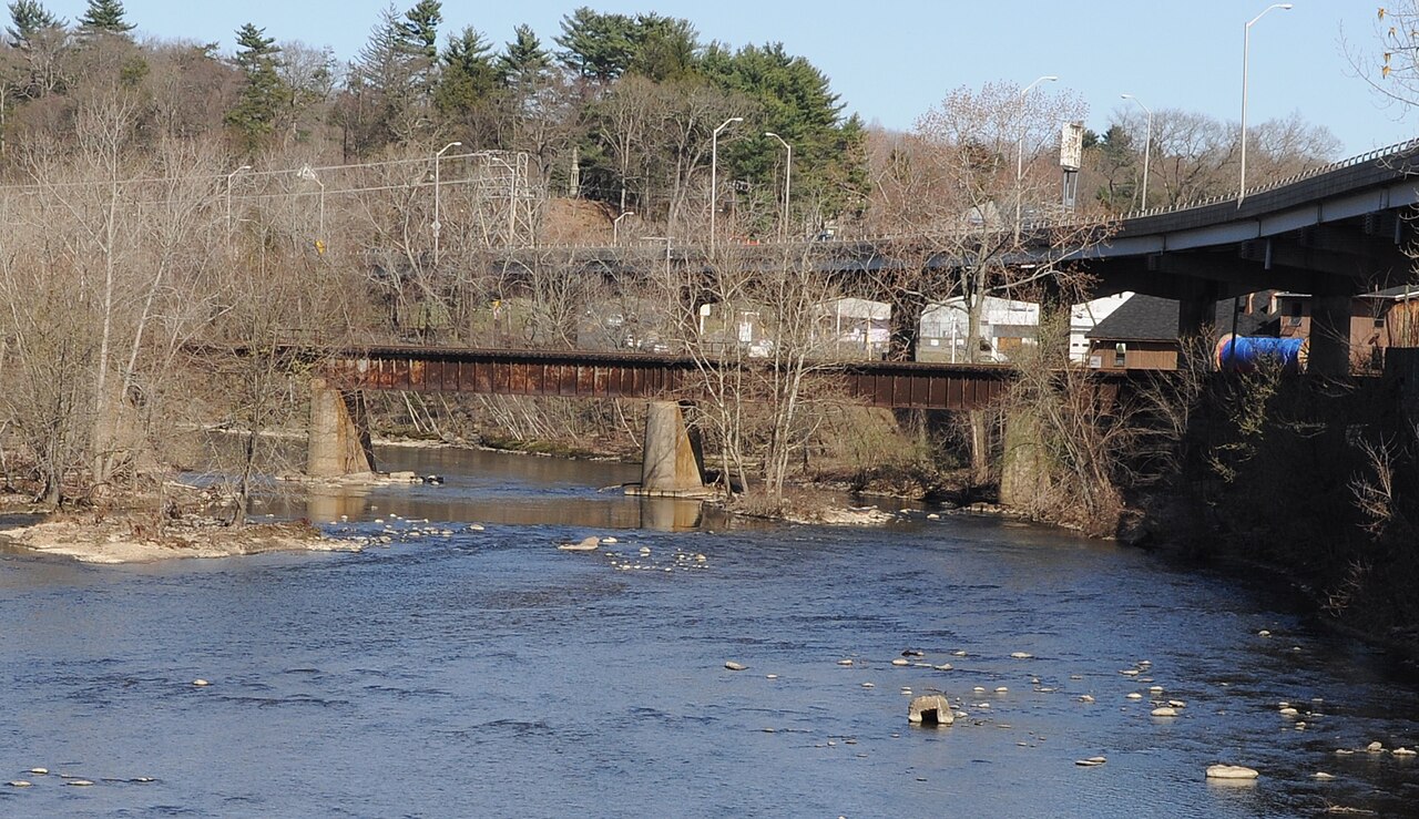
Naugatuck River
Peconic River
Wappinger Creek
Cockenoe Harbor
Explore New York waters
Top paddling waters
Popular Cities
Loading popular cities...
Explore near Smithtown Bay

Smarter Paddling Starts in the App.
Paddleways gives you everything you need to plan smarter, paddle better, and own every trip from first launch to takeout.