Nissequogue River
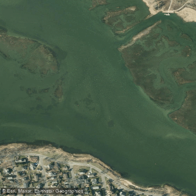
Nissequogue River
- Boat Ramps
- 1
- Access Points
- 6
- Campsites
- 0
The Nissequogue River is a scenic waterway located on Long Island, New York, flowing northward from its headwaters in Smithtown to its mouth at Long Island Sound. This relatively short river, approximately 8 miles long, drains a watershed of about 40 square miles, primarily within Suffolk County. Paddling opportunities on the Nissequogue are concentrated in its lower reaches, with the most popular section being the 6-mile stretch from Nissequogue River State Park to Long Island Sound. This journey offers a unique experience that feels reminiscent of southern rivers while being situated in the heart of Long Island. The river meanders through diverse landscapes, including marshlands and forested areas, before opening up into the Sound.
The difficulty of paddling the Nissequogue is generally considered easy to moderate, making it suitable for a wide range of skill levels. The river is primarily flatwater, with some tidal influence in its lower sections. Paddlers should be comfortable with basic kayaking or canoeing techniques and be aware of tidal changes. Seasonal patterns play a crucial role in planning a Nissequogue River trip. Spring and fall offer comfortable temperatures and potentially fewer crowds. Summer can be busy but provides warm waters ideal for swimming. It's essential to check Long Island/North Shore tide tables before embarking, as paddling upriver on a rising tide is recommended for an easier journey.
The river's ecosystem supports a variety of flora and fauna. Paddlers may encounter waterfowl, fish like striped bass and bluefish, and possibly glimpse deer or foxes along the shoreline. The surrounding vegetation includes salt marsh grasses, deciduous trees, and coastal plants adapted to the brackish environment.
Key landmarks include the Nissequogue River State Park, which serves as the primary put-in point for most paddlers. The park, located in Kings Park, NY, offers two marinas for launching kayaks or canoes. As paddlers progress downstream, they'll pass through scenic wetlands before reaching the open waters of Long Island Sound. Access to the river is primarily through Nissequogue River State Park, conveniently located near the town of Kings Park. This makes it easily accessible for residents of Long Island and visitors from nearby New York City.
Historically, the Nissequogue River has been significant to the region, supporting Native American communities and later playing a role in early colonial settlements. Today, it remains an important recreational resource and natural habitat.
Safety considerations include being aware of tidal changes, weather conditions, and boat traffic, especially near the river's mouth. Paddlers should carry appropriate safety gear and be familiar with local regulations. Emergency contacts include State Park Police (631-669-2500) and the U.S. Coast Guard for the North Shore (631-261-6868).
While the Nissequogue is primarily suited for day trips, experienced paddlers might consider multi-day explorations by combining the river journey with coastal paddling along Long Island Sound, though careful planning and consideration of tides and weather are essential for such adventures.
Water access, boat ramps & amenities
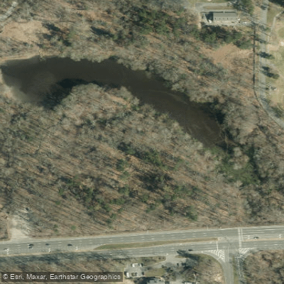
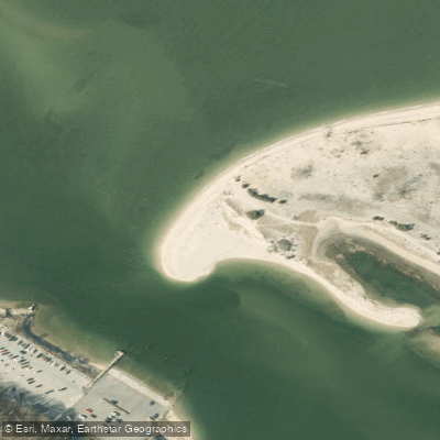
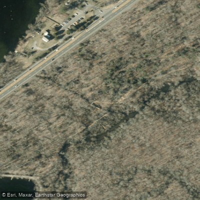
Learn how to get on Nissequogue River. Uncover great paddling access points, boat ramps, and all the facilities you need for an unforgettable day on the water. Some locations shown may border or include private property. Always check property boundaries and applicable regulations before visiting. PaddleWays's Public & Private Land layer can help you plan your access with confidence.
Paddle smarter with real-time insights
Whether you're en route and conditions shift or you're looking for the best spot based on current flows, we enable you to make informed decisions on the fly.








Find Places to Paddle

Over 400,000 Places to Paddle
Every user gets free access to launch points, boat ramps, and public property parcels.


Water and weather conditions (10 day forecast)
See the best times to paddle Nissequogue River and check the forecast before you go.
No forecast data available.
Paddling near Nissequogue River

Hudson River

Housatonic River

Great South Bay
Peconic River

Croton River
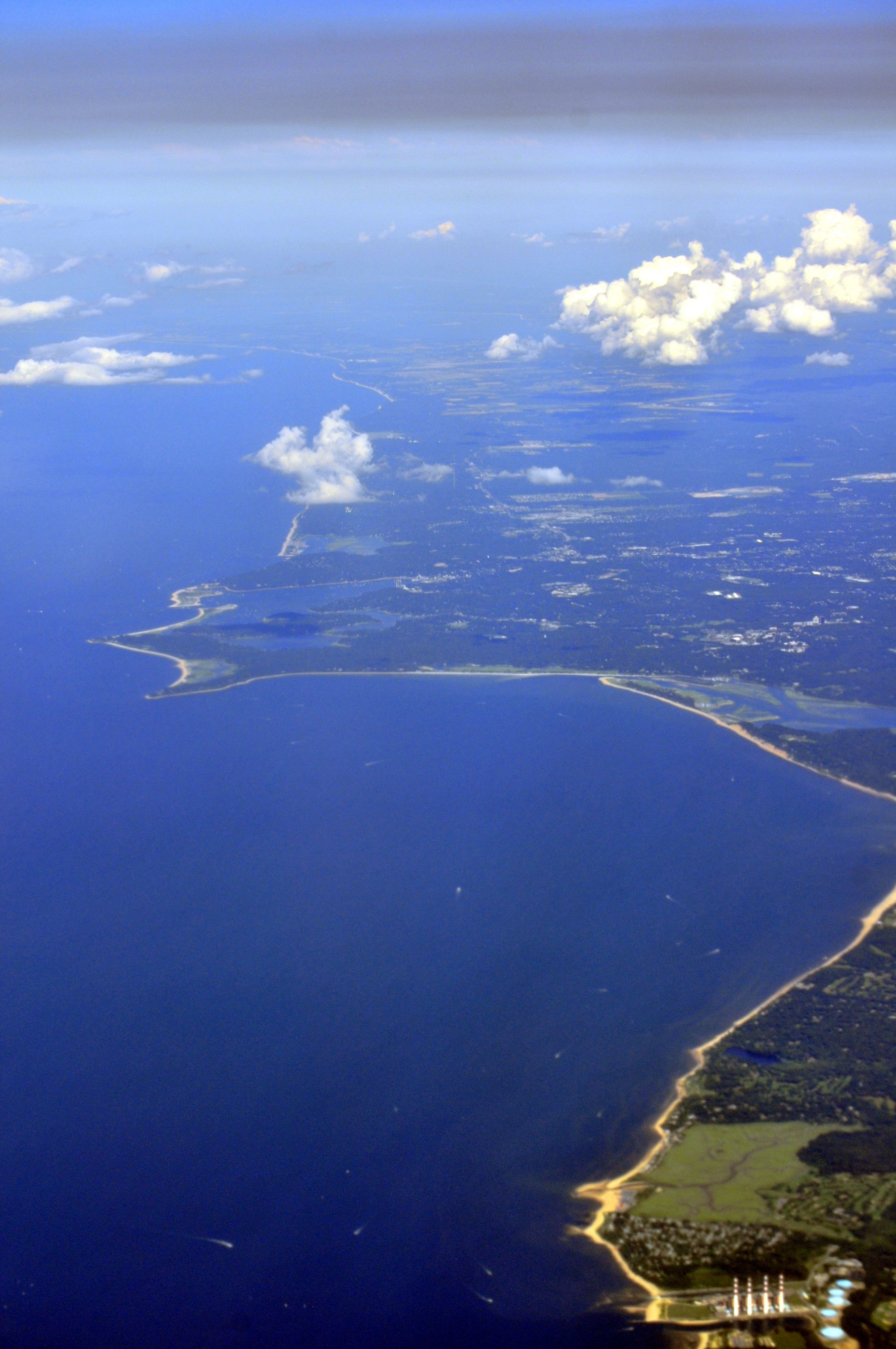
Smithtown Bay
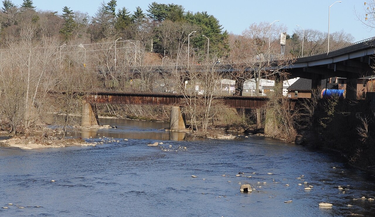
Naugatuck River
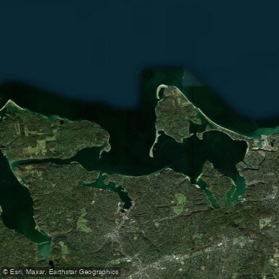
Huntington Bay
Explore New York waters
Top paddling waters
Popular Cities
Loading popular cities...
Explore near Nissequogue River
Access points
Nearby waters
More in New York

Smarter Paddling Starts in the App.
Paddleways gives you everything you need to plan smarter, paddle better, and own every trip from first launch to takeout.