Hempstead Bay
- Saltwater
- Bay
Hempstead Bay
- Saltwater
- Bay
- Sq. miles
- 13
- Boat Ramps
- 2
- Access Points
- 0
- Campsites
- 1
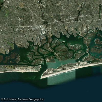
Hempstead Bay is a large, shallow tidal bay on the south shore of Long Island, New York, characterized by extensive salt marshes, tidal flats, and marsh islands. The bay is a significant part of the South Shore Estuary Reserve and is an important stop on the Atlantic Flyway for migrating waterfowl. The paddling experience here is defined by its coastal wetlands, with opportunities to view osprey nests, herons, egrets, and other wildlife among the undeveloped marshlands. The western part of the bay offers views of the New York City skyline at dusk. A notable cultural feature is the collection of historic bay houses, used by generations of baymen, which dot the marshlands, particularly in the East Bay area.
Knowledge of tide timing is critical for safe navigation due to the extensive shallow tidal flats. Currents can be significant, especially near inlets like Jones Inlet, and trips should be planned to minimize paddling against strong outgoing or incoming currents. The area is often windy, which can create chop, and paddlers should be prepared for potential boat and jet ski traffic, especially in more open sections. Much of the paddling can be done on designated water trails through the salt marshes, such as those that are part of the South Shore Blueway.
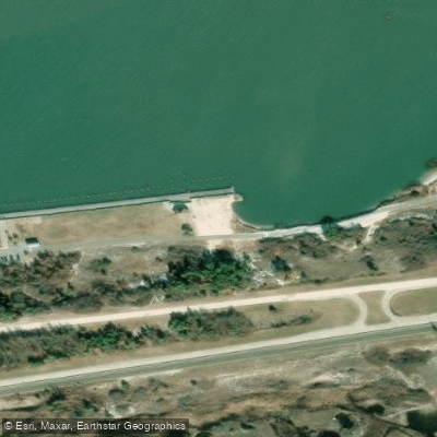
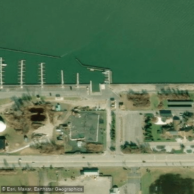
Several public launch sites provide access to different parts of the bay, though most require a fee or permit. In Glen Cove, Glenwood Landing, and Port Washington's Bar Beach Park, there are hard surface launches with parking for cars and trailers. For the western sections, launches include the Marine Nature Area Landing in Oceanside and the Bay Park Boat Ramp for West Hempstead Bay. The Wantagh Park boat ramp provides access to the East Bay and Jones Inlet areas; car-topped kayaks can use this ramp without a fee, and parking is available. It is important to note that some launches, like the one at Manhasset Bay, advise launching and recovering only at high tide, indicating a significant tidal range that can affect access at other sites. The water body is managed for conservation, and paddlers share the space with commercial shellfishing fleets, particularly in Middle Bay near Freeport's Nautical Mile.
Water access, boat ramps & amenities
Learn how to get on Hempstead Bay. Uncover great paddling access points, boat ramps, and all the facilities you need for an unforgettable day on the water. Some locations shown may border or include private property. Always check property boundaries and applicable regulations before visiting. PaddleWays's Public & Private Land layer can help you plan your access with confidence.
Paddle smarter with real-time insights
Whether you're en route and conditions shift or you're looking for the best spot based on current flows, we enable you to make informed decisions on the fly.








Find Places to Paddle

Over 400,000 Places to Paddle
Every user gets free access to launch points, boat ramps, and public property parcels.


Tides, wind & water conditions (10 day forecast)
On open water, wind and tide matter as much as the weather. See the best times to paddle Hempstead Bay and check the marine forecast before you launch.
Loading tide predictions…
Paddling near Hempstead Bay

Hudson River

Raritan River

Housatonic River

Croton River
Great South Bay
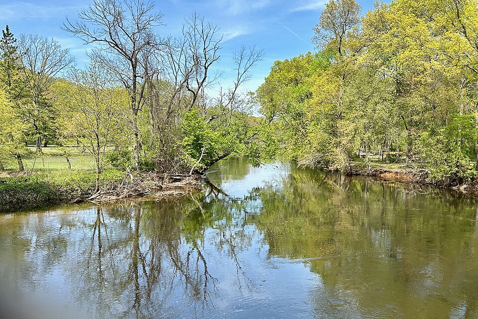
Rockaway River
Peconic River
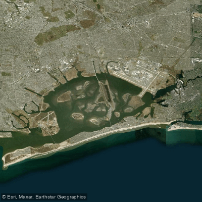
Jamaica Bay
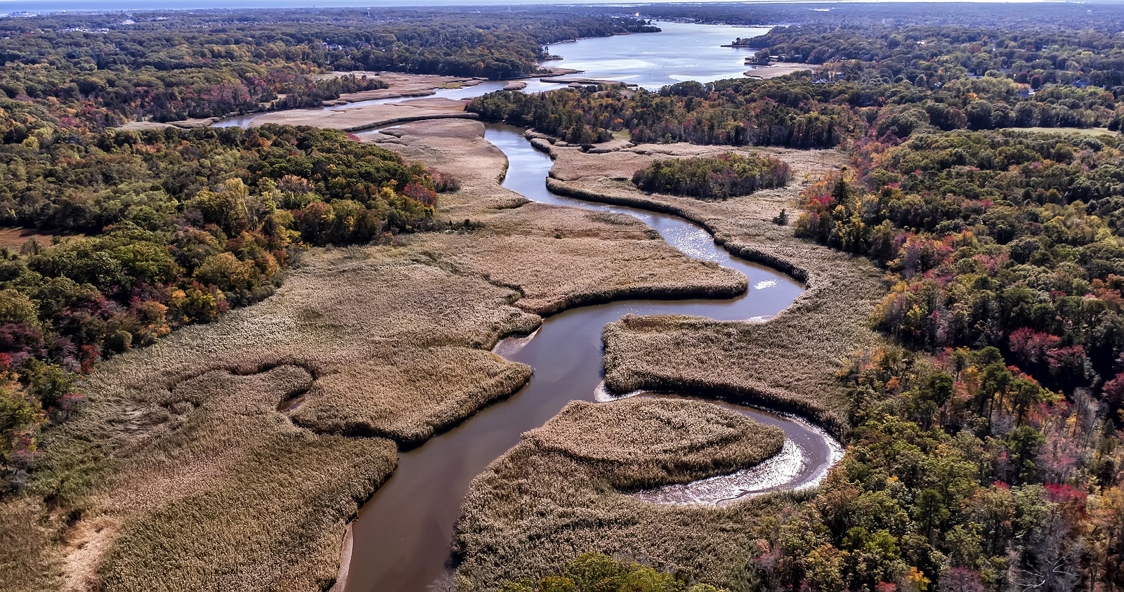
Manasquan River
Explore New York waters
Top paddling waters
Popular Cities
Loading popular cities...
Explore near Hempstead Bay
Access points
Nearby waters
More in New York

Smarter Paddling Starts in the App.
Paddleways gives you everything you need to plan smarter, paddle better, and own every trip from first launch to takeout.