Pumpkin Patch Channel
- Saltwater
- Channel
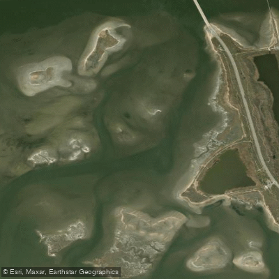
Pumpkin Patch Channel
- Saltwater
- Channel
- Sq. miles
- 0.5
- Boat Ramps
- 0
- Access Points
- 0
- Campsites
- 2
Pumpkin Patch Channel is a tidal channel within Jamaica Bay, part of the Gateway National Recreation Area in New York City. The primary and most referenced access point for paddlers is the North Channel Bridge launch, located on the west side of Crossbay Boulevard. This site features a sand and pebble beach launch, a parking lot, an information kiosk, and seasonal restrooms. The launch is open daily from 5 am to 9 pm. It is important to note that landing kayaks on the shoreline of the adjacent Rulers Bar Hassock island is prohibited, as it is a protected wildlife refuge. The channel heads south from this western parking lot, providing a route along the edge of the salt marsh. Paddling conditions are heavily influenced by tides; low tide reveals extensive mudflats, which can make the launch area muckier. The National Park Service offers guided "Pumpkin Patch Channel Excursion" tours from this launch, providing kayaks, gear, and instruction, though reservations are required. The overall character of the paddle is a cloistered, quieter route along the marsh edge, offering viewing opportunities for wading birds. The channel is situated within the Jamaica Bay Wildlife Refuge, a vital habitat for turtles, birds, and other fauna. The area has historical significance, including past oyster cultivation and being the site of the 1962 American Airlines Flight 1 crash. Jamaica Bay has experienced significant marshland loss over the decades, and while water quality has improved, pollution remains an issue, historically leading to closures of shellfishing. The channel is used by more experienced paddlers as a starting point for longer trips into the bay, and it is near other marsh features like Black Wall Marsh and Elders Point Marsh.
Water access, boat ramps & amenities
Learn how to get on Pumpkin Patch Channel. Uncover great paddling access points, boat ramps, and all the facilities you need for an unforgettable day on the water. Some locations shown may border or include private property. Always check property boundaries and applicable regulations before visiting. PaddleWays's Public & Private Land layer can help you plan your access with confidence.
Paddle smarter with real-time insights
Whether you're en route and conditions shift or you're looking for the best spot based on current flows, we enable you to make informed decisions on the fly.








Find Places to Paddle

Over 400,000 Places to Paddle
Every user gets free access to launch points, boat ramps, and public property parcels.


Tides, wind & water conditions (10 day forecast)
On open water, wind and tide matter as much as the weather. See the best times to paddle Pumpkin Patch Channel and check the marine forecast before you launch.
Loading tide predictions…
Paddling near Pumpkin Patch Channel

Hudson River

Raritan River
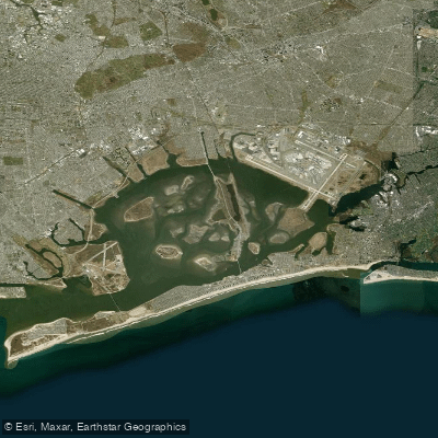
Jamaica Bay
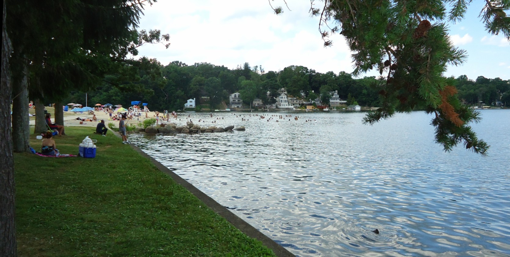
Lake Hopatcong
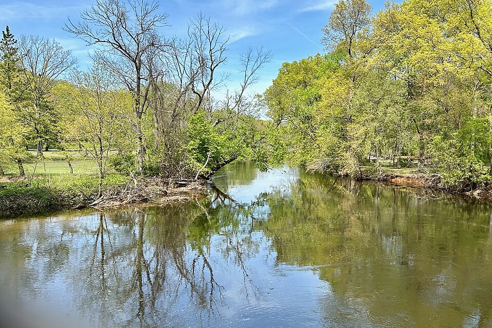
Rockaway River
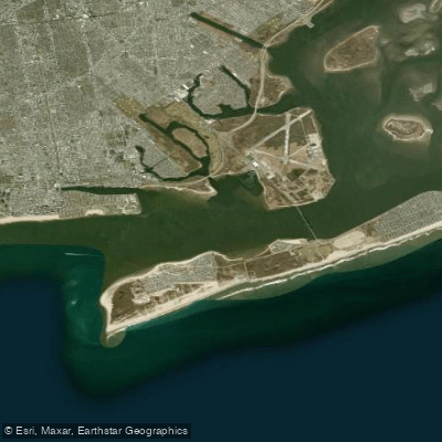
Rockaway Inlet
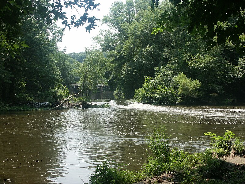
Millstone River

Croton River
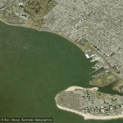
Gravesend Bay
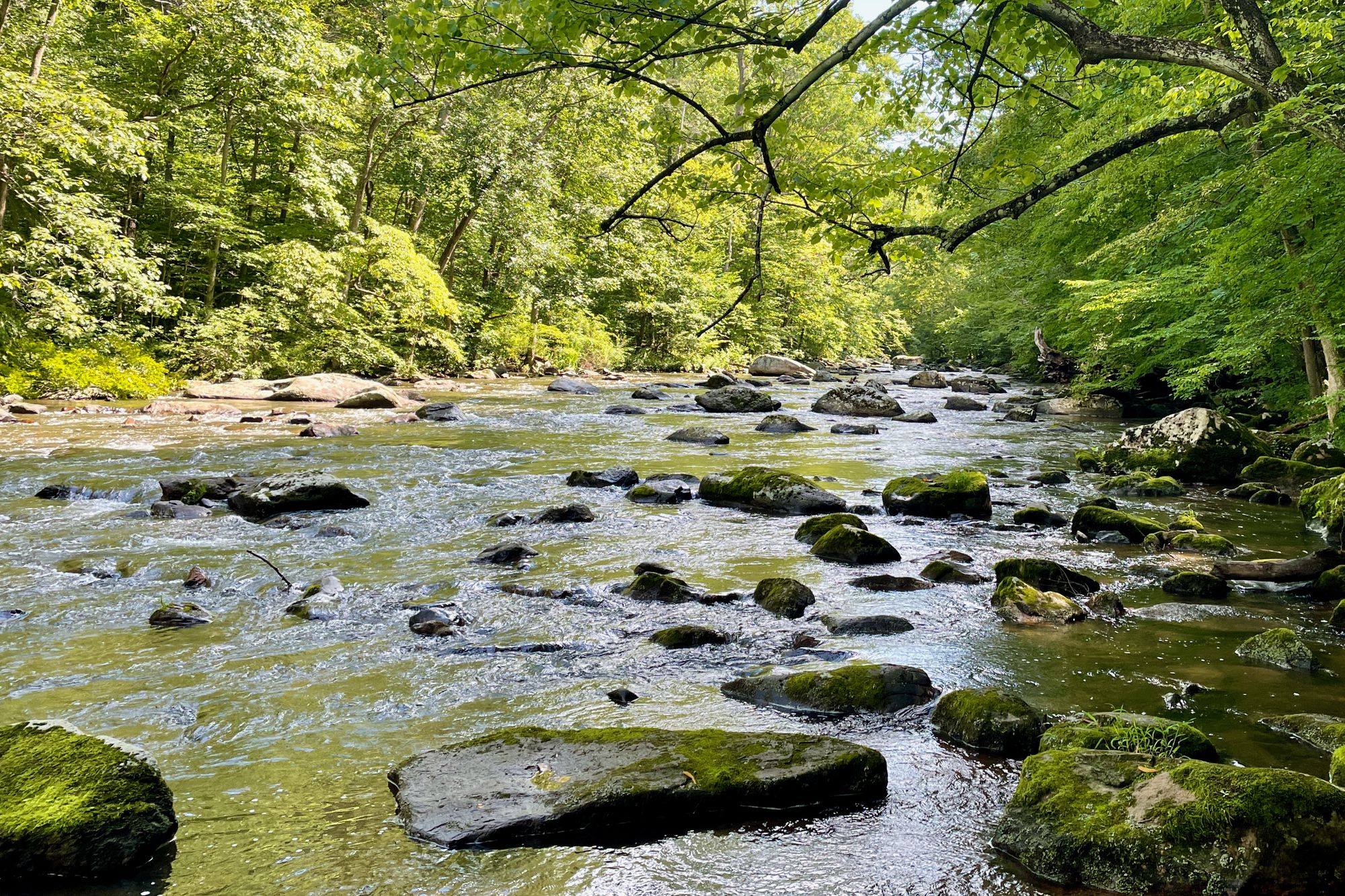
South Branch Raritan River
Explore New York waters
Top paddling waters
Popular Cities
Loading popular cities...
Explore near Pumpkin Patch Channel
Nearby waters
More in New York

Smarter Paddling Starts in the App.
Paddleways gives you everything you need to plan smarter, paddle better, and own every trip from first launch to takeout.