Norwalk Islands
- Saltwater
- Bay
Norwalk Islands
- Saltwater
- Bay
- Sq. miles
- 13
- Boat Ramps
- 0
- Access Points
- 0
- Campsites
- 0
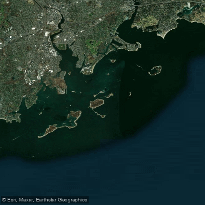
The Norwalk Islands are a chain of more than twenty islands, sandbars, and rock formations located in Long Island Sound, approximately one mile offshore from Norwalk, Connecticut. The primary and most popular launch point for paddlers is Calf Pasture Beach Park in Norwalk, which features a sand launch area dedicated to non-motorized boats. This launch offers a direct view of the islands, with amenities including restrooms, showers, food service, and ample parking, though a daily entrance fee is required for non-residents from May 1st. Alternative launches with public access exist at the end of Second Street in East Norwalk and at Community Beach in Rowayton, though these may have limited parking or place paddlers immediately into congested boat channels.
The paddling environment is open water with a significant tidal influence, featuring an average tidal range of 7.5 feet over a six-hour cycle. Tidal currents are present, and some passages between islands, such as the channel between Crow Island and Chimmon Island, are not passable at low or mid tide. The area is exposed to wind and waves from Long Island Sound, with the main boat channel between Shea and Chimmon islands noted for particularly heavy wave conditions. Boat traffic is a consistent factor, especially in the marked channels and harbors. Several islands offer destinations, though landing rules vary. Grassy Island and Shea Island are owned by the City of Norwalk and are open for public day use and overnight camping with a permit from May through Columbus Day. Shea Island has a sandy beach on its northwest shore but a rocky coastline elsewhere. Chimmon Island is largely a wildlife refuge with landing restricted, except for a public beach on its west side. Sheffield Island, featuring a historic stone lighthouse, also has restricted landing. Other islands, like Betts and Tavern, are privately owned.
The experience is best suited for advanced paddlers due to the open water crossings, potential for rough conditions, boat traffic, and need for precise tidal planning. The islands provide a sense of remoteness with opportunities for birdwatching, including sightings of blue herons and egrets. The summer season sees significant recreational powerboat and paddling activity, while the off-season is quieter.
Water access, boat ramps & amenities
Learn how to get on Norwalk Islands. Uncover great paddling access points, boat ramps, and all the facilities you need for an unforgettable day on the water. Some locations shown may border or include private property. Always check property boundaries and applicable regulations before visiting. PaddleWays's Public & Private Land layer can help you plan your access with confidence.
Paddle smarter with real-time insights
Whether you're en route and conditions shift or you're looking for the best spot based on current flows, we enable you to make informed decisions on the fly.








Find Places to Paddle

Over 400,000 Places to Paddle
Every user gets free access to launch points, boat ramps, and public property parcels.


Tides, wind & water conditions (10 day forecast)
On open water, wind and tide matter as much as the weather. See the best times to paddle Norwalk Islands and check the marine forecast before you launch.
Loading tide predictions…
Paddling near Norwalk Islands

Housatonic River

Hudson River

Croton River
Naugatuck River
Smithtown Bay
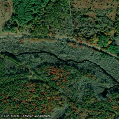
Peconic River
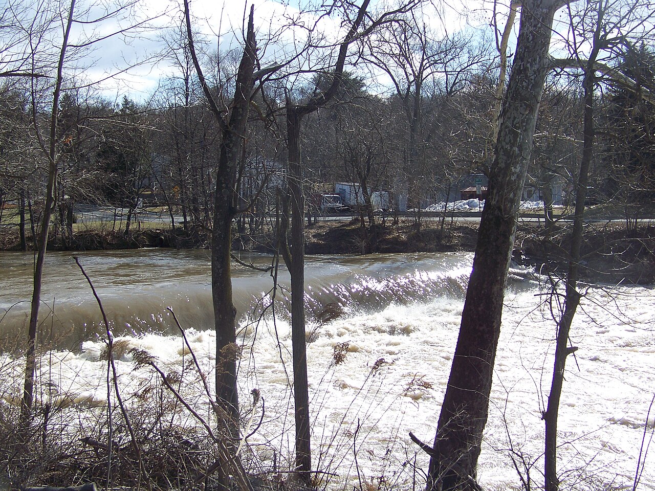
Wappinger Creek
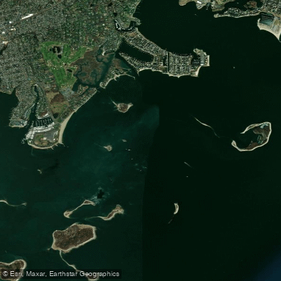
Cockenoe Harbor
Explore Connecticut waters
Top paddling waters
Popular Cities
Loading popular cities...
Explore near Norwalk Islands
Access points
Nearby waters
More in Connecticut

Smarter Paddling Starts in the App.
Paddleways gives you everything you need to plan smarter, paddle better, and own every trip from first launch to takeout.