Esopus Creek
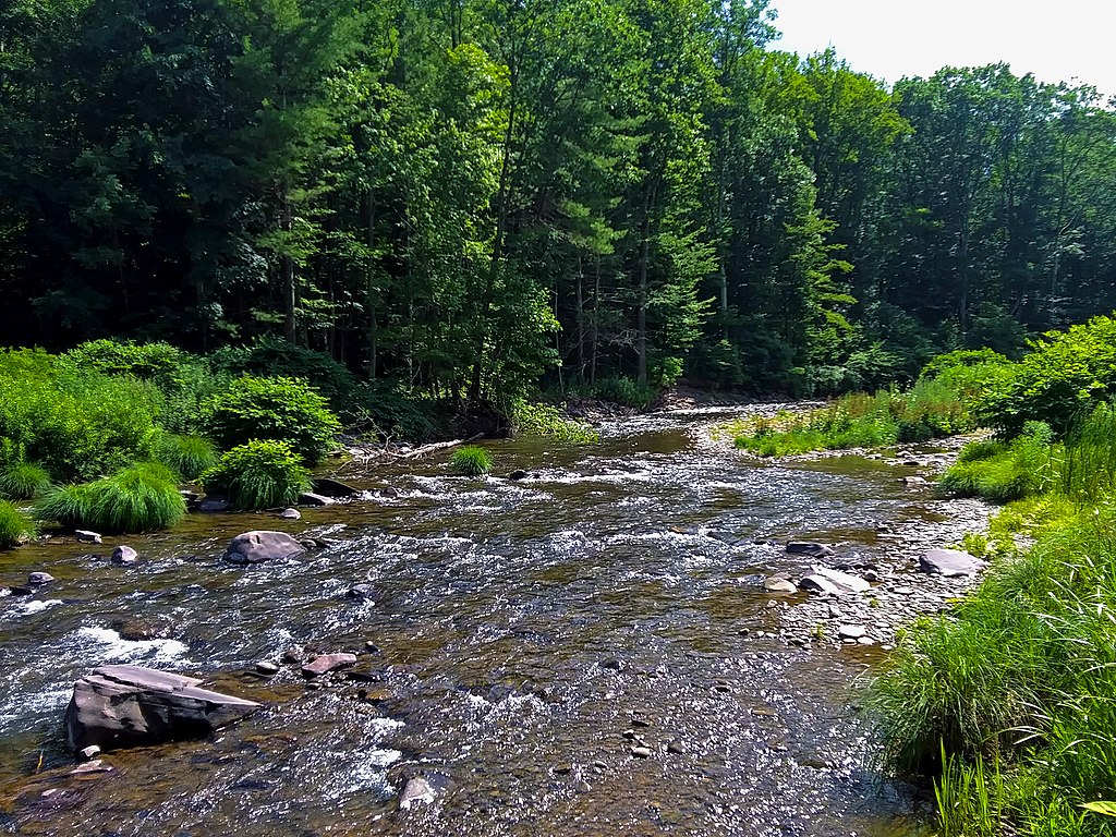
Esopus Creek
- Boat Ramps
- 8
- Access Points
- 15
- Campsites
- 14
The Esopus Creek is a waterway that flows through the heart of New York's Catskill Mountains. This 65-mile long creek originates at Winnisook Lake on Slide Mountain, the highest peak in the Catskills, and winds its way through Ulster County before emptying into the Hudson River at Saugerties.
The Esopus offers a range of paddling experiences, from challenging whitewater in its upper reaches to calm flatwater sections near its mouth. The upper Esopus, particularly the stretch from Big Indian to Phoenicia, is renowned for its Class II-III rapids, making it a favorite among intermediate whitewater enthusiasts. This section features several popular runs, including the 5-mile Big Indian to Allaben stretch and the exhilarating 2-mile Phoenicia Short Run.
For more experienced paddlers, the 7.5-mile Stillwater Road to Tongore Road section offers Class II-IV rapids, with potential Class V features at higher water levels. This challenging stretch provides a true test of skill amidst the beautiful Catskill scenery.
In contrast, the lower Esopus near Saugerties offers a peaceful flatwater paddling experience, perfect for beginners and those seeking a relaxing day on the water. This section is ideal for wildlife viewing and fishing, with opportunities to catch bass, carp, and various panfish.
The best time to paddle the Esopus varies depending on the section and your goals. Whitewater enthusiasts should aim for the scheduled recreational releases in the upper sections, typically occurring on select weekends from spring through fall. These releases provide optimal conditions for exciting rapids. For a more tranquil experience on the lower Esopus, late spring through early fall offers pleasant weather and water conditions.
The creek's ecosystem supports a diverse array of flora and fauna. Paddlers may spot bald eagles, herons, and other waterfowl along the shores. The upper Esopus is also a renowned trout fishing destination, with cold, clear waters supporting healthy populations of brown, rainbow, and brook trout.
Notable landmarks along the Esopus include the Ashokan Reservoir, which divides the creek into its upper and lower sections, and the picturesque Esopus Bend Nature Preserve near Saugerties. The creek flows through or near several charming Catskill towns, including Phoenicia, a popular hub for outdoor enthusiasts, and Saugerties, known for its historic lighthouse at the creek's confluence with the Hudson River.
Historically, the Esopus played a crucial role in the region's development, powering mills and supporting local industries. Today, it serves as an important water source for New York City and continues to be a vital recreational resource for the area.
Safety is paramount when paddling the Esopus, especially in the whitewater sections. Always check current water levels and weather conditions before embarking on a trip. Inexperienced paddlers should consider guided tours or stick to the calmer lower sections. Be aware that some areas may require permits or have specific regulations, particularly around the Ashokan Reservoir.
While the Esopus is primarily known for day trips, adventurous paddlers can string together multi-day experiences by combining different sections and taking advantage of the numerous access points along the creek. However, careful planning is essential due to the varying difficulty levels and the presence of the Ashokan Reservoir, which interrupts the creek's continuous flow.
Whether you're seeking an adrenaline-pumping whitewater adventure or a peaceful paddle through nature, the Esopus Creek offers a quintessential Catskill Mountains experience, blending natural beauty, outdoor recreation, and rich local history.
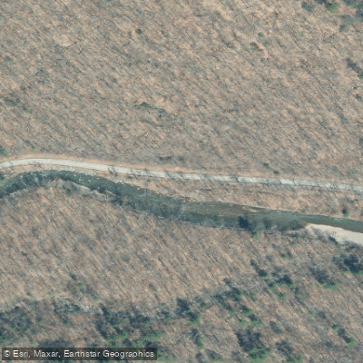
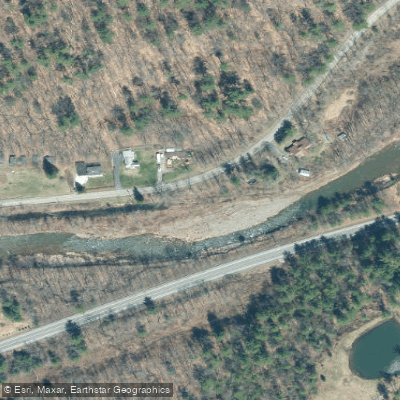
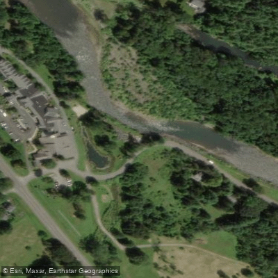
Water access, boat ramps & amenities
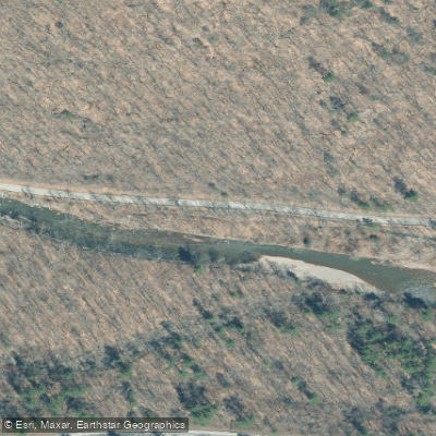
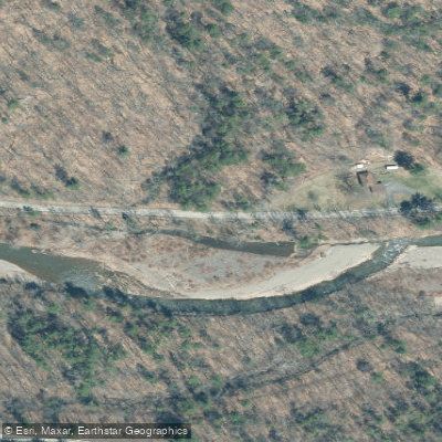
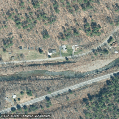
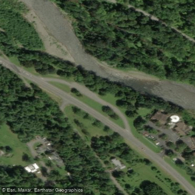
Learn how to get on Esopus Creek. Uncover great paddling access points, boat ramps, and all the facilities you need for an unforgettable day on the water. Some locations shown may border or include private property. Always check property boundaries and applicable regulations before visiting. PaddleWays's Public & Private Land layer can help you plan your access with confidence.
Paddle smarter with real-time insights
Whether you're en route and conditions shift or you're looking for the best spot based on current flows, we enable you to make informed decisions on the fly.








Find Places to Paddle

Over 400,000 Places to Paddle
Every user gets free access to launch points, boat ramps, and public property parcels.


Water and weather conditions (10 day forecast)
See the best times to paddle Esopus Creek and check the forecast before you go.
ESOPUS CREEK BELOW LOST CLOVE RD AT BIG INDIAN NY
All Flow Stations
Paddling near Esopus Creek

Hudson River
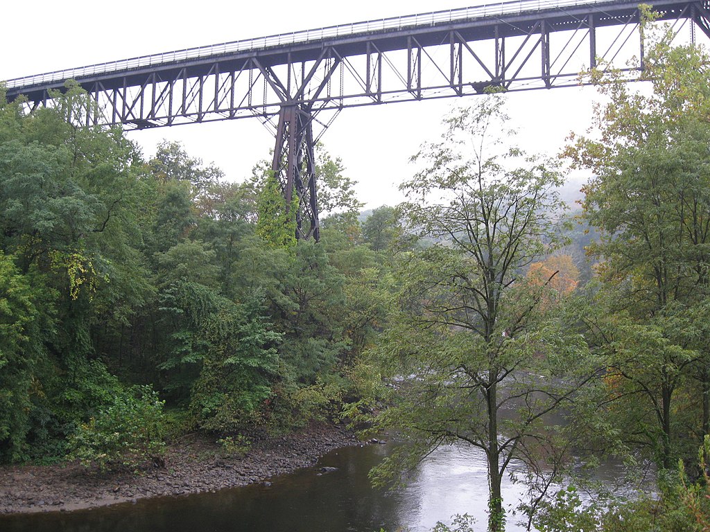
Rondout Creek
Foundry Cove
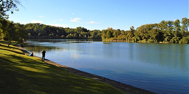
Schoharie Creek
Worlds End
Wappinger Creek
Catskill Creek
Peekskill Bay

Housatonic River
Explore New York waters
Top paddling waters
Popular Cities
Loading popular cities...
Explore near Esopus Creek
Access points
Nearby waters
More in New York

Smarter Paddling Starts in the App.
Paddleways gives you everything you need to plan smarter, paddle better, and own every trip from first launch to takeout.