Uwharrie River
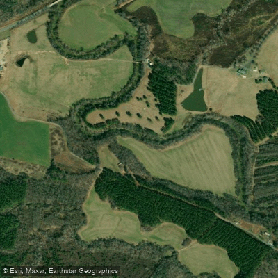
Uwharrie River
- Boat Ramps
- 3
- Access Points
- 3
- Campsites
- 15
The Uwharrie River is a scenic waterway in central North Carolina, originating in the Uwharrie Mountains and flowing generally northward to join the Yadkin River, which eventually becomes part of the Pee Dee River system. This relatively small river, approximately 40 miles long, drains a significant portion of the Uwharrie National Forest and surrounding areas.
Paddling opportunities on the Uwharrie River are limited but rewarding, with several popular sections offering a mix of flatwater and gentle Class I-II rapids. The most frequently paddled stretches include: 1. Low Water Bridge to Highway 109 Bridge (6.8 miles) 2. Highway 109 to Cotton Place Road (2 miles) 3. Cotton Place Road to Morrow Mountain State Park/Lake Tillery (7.4 miles) 4. Route 1143 Bridge to Route 1301 Bridge (7.8 miles) 5. Route 1301 to Morrow Mountain State Park (17.2 miles)
These sections range from easy flatwater suitable for beginners to slightly more challenging Class I-II rapids that intermediate paddlers will enjoy. The river's difficulty can vary with water levels, so checking current conditions is advisable. The Uwharrie River is best paddled in spring or after significant rainfall, as low water levels can make some sections impassable during drier months. Late fall can also offer good paddling opportunities with the added bonus of colorful foliage.
The river flows through a relatively wild and undisturbed landscape, providing paddlers with opportunities to observe diverse flora and fauna typical of the North Carolina Piedmont region. The surrounding Uwharrie National Forest adds to the natural beauty and isolation of the paddling experience.
Key access points include Low Water Bridge near Troy, the Highway 109 Bridge, Cotton Place Road, and the landing at Morrow Mountain State Park. The towns of Troy and Albemarle are the nearest population centers for supplies and accommodations.
The Uwharrie River holds historical significance as part of the ancestral lands of the Uwharrie people and played a role in early European settlement and gold mining in the region. Today, it serves as an important recreational resource within the Uwharrie National Forest.
Safety considerations include checking water levels before paddling, as the river can become quite shallow during dry periods. Paddlers should also be aware of potential strainers and be prepared for limited cell phone coverage in some areas.
While most trips on the Uwharrie River are day excursions, the longer sections could be combined for multi-day adventures, utilizing camping facilities at Morrow Mountain State Park or dispersed camping sites within the national forest (where permitted).
The Uwharrie River offers a unique paddling experience in central North Carolina, combining natural beauty, mild whitewater, and a sense of wilderness that is increasingly rare in the region.
Water access, boat ramps & amenities
Learn how to get on Uwharrie River. Uncover great paddling access points, boat ramps, and all the facilities you need for an unforgettable day on the water. Some locations shown may border or include private property. Always check property boundaries and applicable regulations before visiting. PaddleWays's Public & Private Land layer can help you plan your access with confidence.
Cotton Place Road Boat Ramp
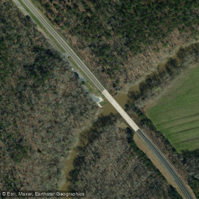
Hwy 109 Access
Low Water Bridge Boat Ramp
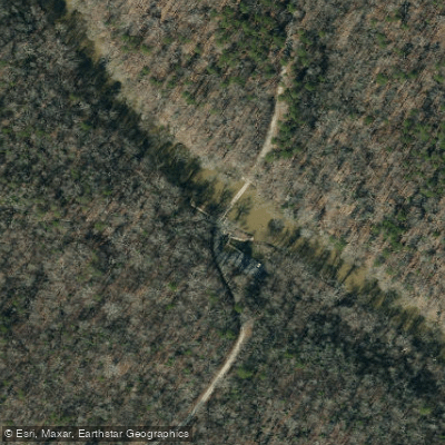
Uwharrie Lwb Access
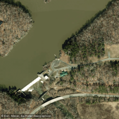
Lake Reese Boat Ramp
Paddle smarter with real-time insights
Whether you're en route and conditions shift or you're looking for the best spot based on current flows, we enable you to make informed decisions on the fly.








Find Places to Paddle

Over 400,000 Places to Paddle
Every user gets free access to launch points, boat ramps, and public property parcels.


Water and weather conditions (10 day forecast)
See the best times to paddle Uwharrie River and check the forecast before you go.
UWHARRIE RIVER NEAR ELDORADO, NC
Paddling near Uwharrie River
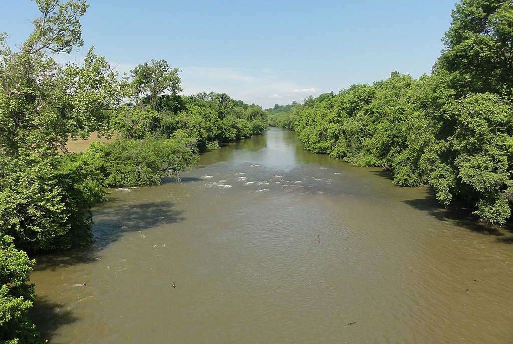
Yadkin River
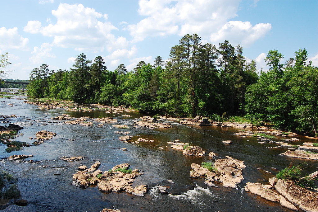
Haw River
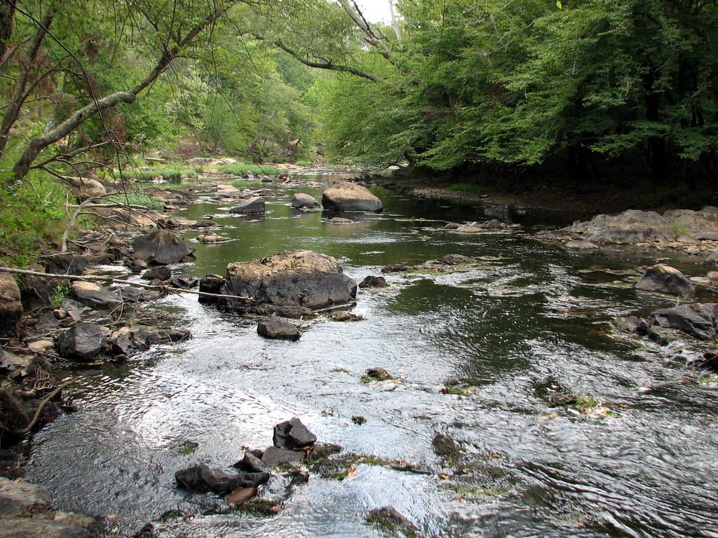
Eno River
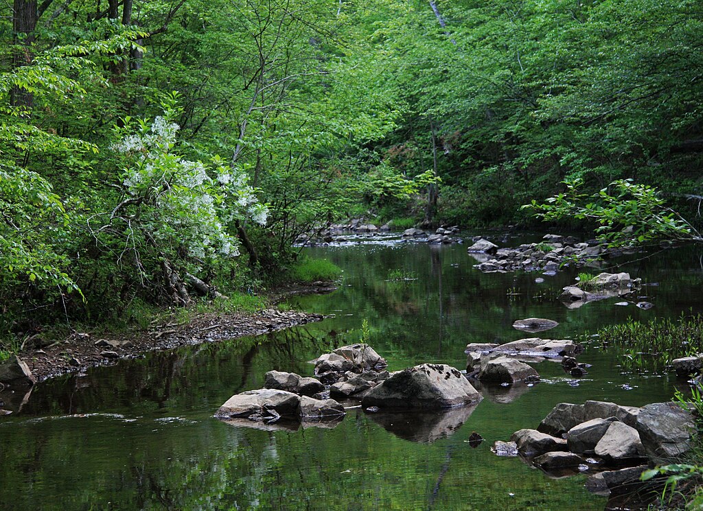
New Hope Creek
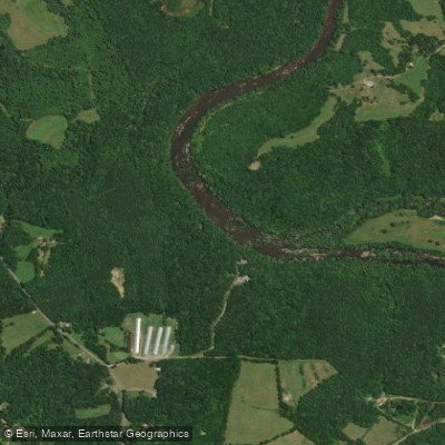
Deep River
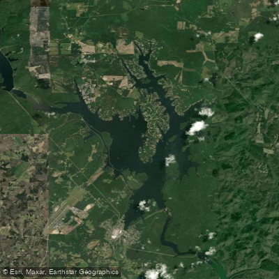
Badin Lake
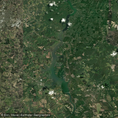
Lake Tillery
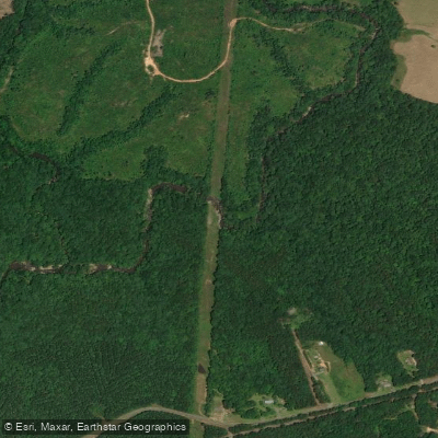
Little River
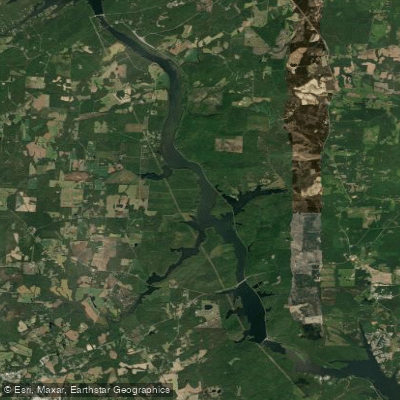
Tuckertown Reservoir
Explore North Carolina waters
Top paddling waters
Popular Cities
Loading popular cities...
Explore near Uwharrie River
Access points
Nearby waters
More in North Carolina

Smarter Paddling Starts in the App.
Paddleways gives you everything you need to plan smarter, paddle better, and own every trip from first launch to takeout.