Big Alamance Creek
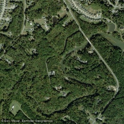
Big Alamance Creek
- Boat Ramps
- 2
- Access Points
- 2
- Campsites
- 0
Big Alamance Creek, also known as Great Alamance Creek, is a significant tributary of the Haw River in North Carolina. This 37-mile long waterway originates in Guilford County and flows southeast through Alamance County before joining the Haw River near the town of Swepsonville. The creek is part of the larger Cape Fear River Basin.
Paddling opportunities on Big Alamance Creek are primarily focused on its lower reaches, particularly the section near its confluence with the Haw River. The most popular paddling route is a 2-mile round trip from the Great Alamance Creek Paddle Access to the creek's confluence with the Haw River and back. This flatwater section is ideal for beginners, offering a peaceful, shaded experience with minimal current.
The difficulty of paddling on Big Alamance Creek is generally rated as beginner-friendly, especially in its lower sections. The creek's gentle nature and lack of significant rapids make it accessible to novice paddlers and families. However, as with all waterways, conditions can vary based on water levels and weather.
September is considered the prime month for paddling Big Alamance Creek, offering ideal weather conditions. The creek is notable for maintaining sufficient water levels for paddling even during hot summer months when other nearby waterways may be too low.
The creek's ecosystem supports a diverse array of flora and fauna typical of North Carolina's Piedmont region. Paddlers can expect to see a variety of native trees providing a shaded canopy, as well as opportunities for wildlife viewing.
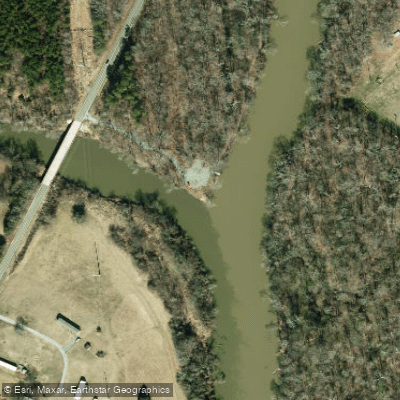
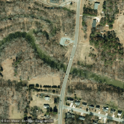
The primary access point for paddlers is the Great Alamance Creek Paddle Access, located at 2229 South Main Street, Graham, NC. This access point serves as both put-in and take-out for the popular out-and-back trip. For those seeking a longer journey, it's possible to extend the trip to Swepsonville River Park, adding another 2 miles to the excursion.
Historically, Big Alamance Creek played a role in the region's textile industry, powering mills along its course. Today, it serves as an important recreational resource for Alamance County, forming part of the broader Haw River Trail system.
Safety considerations include checking water levels before paddling and being aware of potential submerged obstacles. As part of the Haw River Trail, paddlers should adhere to Leave No Trace principles and any local regulations.
While multi-day trips are not common on Big Alamance Creek itself, the creek's connection to the Haw River offers opportunities for longer paddling adventures within the larger river system. Paddlers can explore the extensive 40-mile Haw River Paddle Trail, which features 14 access points throughout Alamance County.
Water access, boat ramps & amenities
Learn how to get on Big Alamance Creek. Uncover great paddling access points, boat ramps, and all the facilities you need for an unforgettable day on the water. Some locations shown may border or include private property. Always check property boundaries and applicable regulations before visiting. PaddleWays's Public & Private Land layer can help you plan your access with confidence.
Paddle smarter with real-time insights
Whether you're en route and conditions shift or you're looking for the best spot based on current flows, we enable you to make informed decisions on the fly.








Find Places to Paddle

Over 400,000 Places to Paddle
Every user gets free access to launch points, boat ramps, and public property parcels.


Water and weather conditions (10 day forecast)
See the best times to paddle Big Alamance Creek and check the forecast before you go.
No forecast data available.
Paddling near Big Alamance Creek
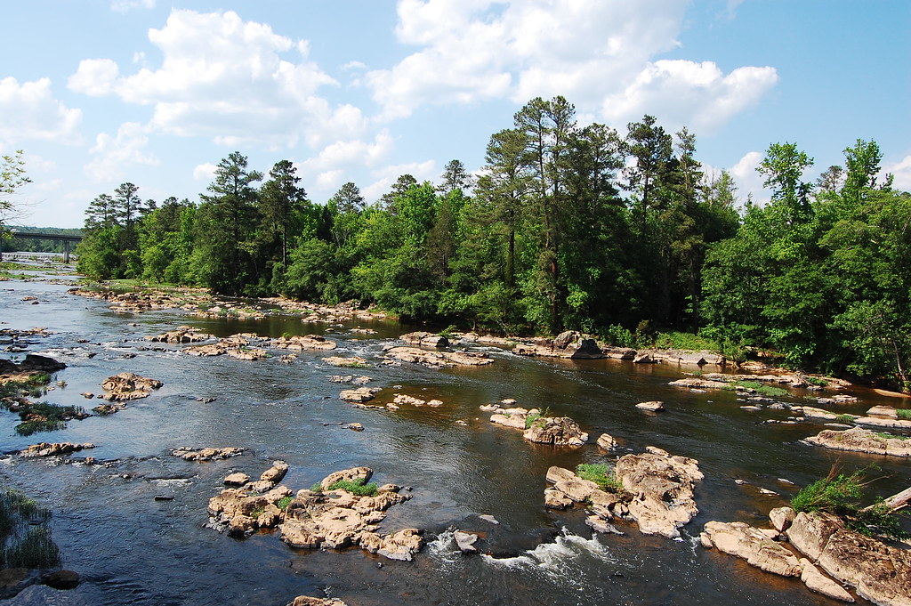
Haw River
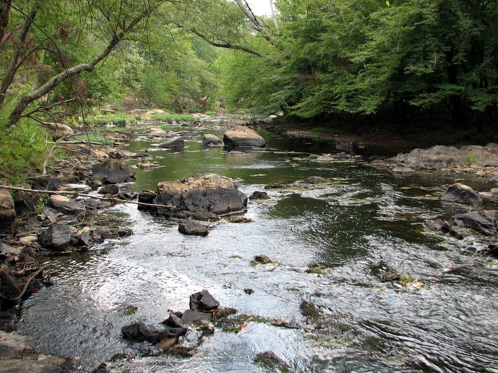
Eno River
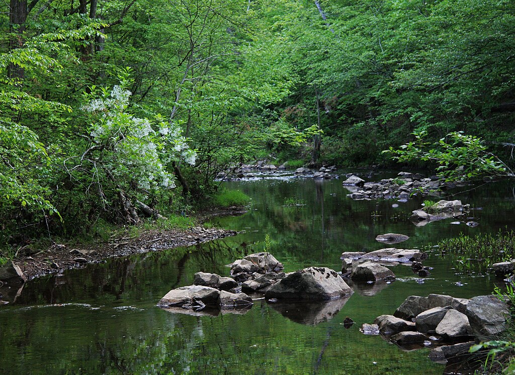
New Hope Creek

Neuse River
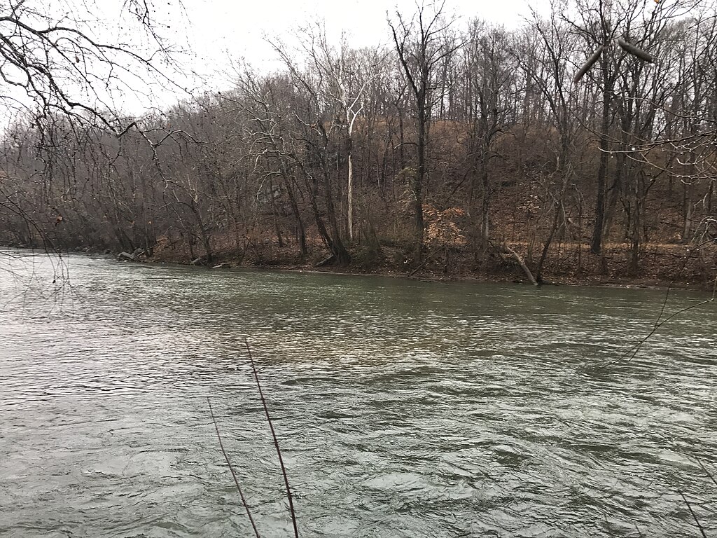
Smith River
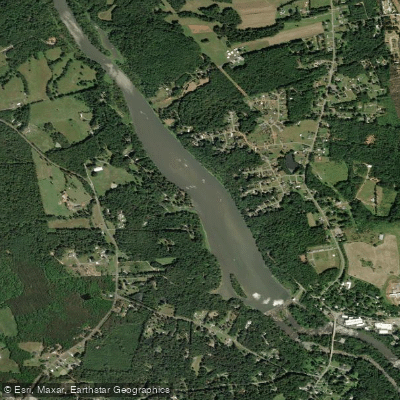
Sellers Manufacturing Company Lake
Stony Creek Reservoir
B Everett Jordan Lake
Deep River
Explore North Carolina waters
Top paddling waters
Popular Cities
Loading popular cities...
Explore near Big Alamance Creek
Access points
- Swepsonville River Park Lower Access Boat Ramp
- Great Alamance Creek Paddle Access Boat Ramp
- Alamance Creek Bridge
- Big Alamance Creek Bridge
- Big Alamance Creek Bridge
- Alamance Creek Bridge
- Big Alamance Creek Bridge
- Big Alamance Creek Bridge
- Little Alamance Creek Bridge
- Alamance Creek Bridge
- Big Alamance Creek Bridge
- Big Alamance Creek Bridge
- All 141 spots
Nearby waters
More in North Carolina

Smarter Paddling Starts in the App.
Paddleways gives you everything you need to plan smarter, paddle better, and own every trip from first launch to takeout.