Stony Creek Reservoir
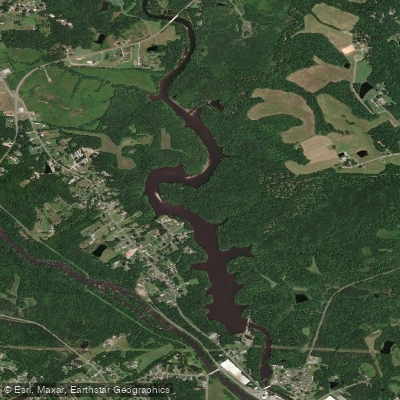
Stony Creek Reservoir
- Boat Ramps
- 0
- Access Points
- 0
- Campsites
- 1
Stony Creek Reservoir is part of a 55-mile paddle trail system connecting to the Tar River in Rocky Mount, North Carolina. The reservoir section offers multiple access points including Edgewater Drive, Country Club Cove, and Sunset Park on the Tar River. Water levels significantly influence paddling opportunities, with low water conditions common throughout much of the year that may require portaging.
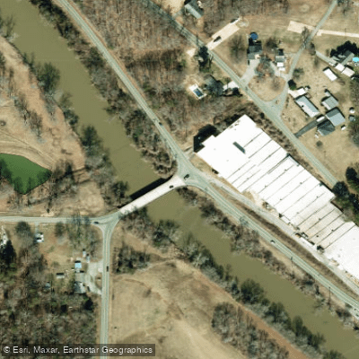
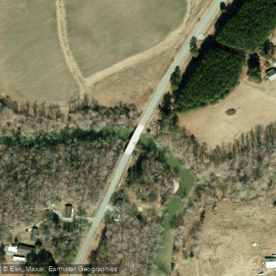
A notable hazard exists between Winstead Road and Jones Road, where Class II+ rapids followed by strainers can form during high water conditions. Paddlers should scout this section from Jones Road Bridge and stay within their skill level, portaging when necessary.
The City of Rocky Mount offers camping platforms within the reservoir area available by reservation through the Parks & Recreation Department. Reservations must be made 1 week to 6 months in advance, with a maximum of 8 people per platform. Platform rentals run from 2:00 PM check-in to 1:00 PM check-out the following day.
Water levels can fluctuate considerably due to weather conditions and upstream dam releases. The reservoir is part of the Rocky Mount water system, winding through urban and natural areas. The City of Rocky Mount maintains several public access points and provides portage routes around hazardous areas.
For safety and environmental protection, only electric trolling motors, canoes, and kayaks are permitted on the water. Platform users must follow city policies and procedures, and the city reserves the right to close platforms at any time. Paddlers should be aware that water levels and conditions can change rapidly, particularly after rainfall or dam releases.
Water access, boat ramps & amenities
Learn how to get on Stony Creek Reservoir. Uncover great paddling access points, boat ramps, and all the facilities you need for an unforgettable day on the water. Some locations shown may border or include private property. Always check property boundaries and applicable regulations before visiting. PaddleWays's Public & Private Land layer can help you plan your access with confidence.
Paddle smarter with real-time insights
Whether you're en route and conditions shift or you're looking for the best spot based on current flows, we enable you to make informed decisions on the fly.








Find Places to Paddle

Over 400,000 Places to Paddle
Every user gets free access to launch points, boat ramps, and public property parcels.


Water and weather conditions (10 day forecast)
See the best times to paddle Stony Creek Reservoir and check the forecast before you go.
No forecast data available.
Paddling near Stony Creek Reservoir
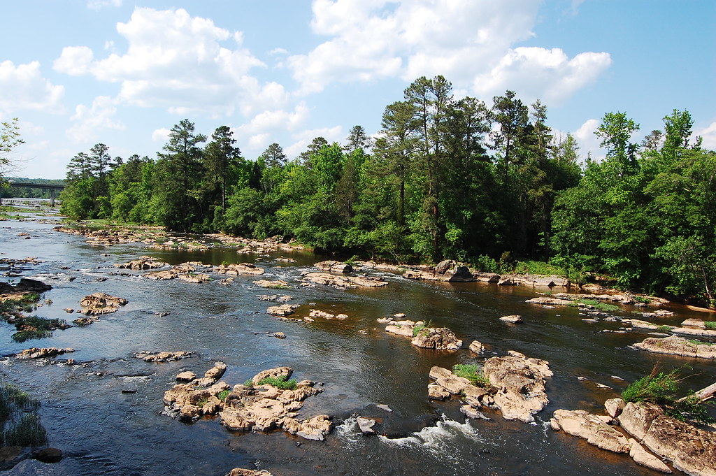
Haw River
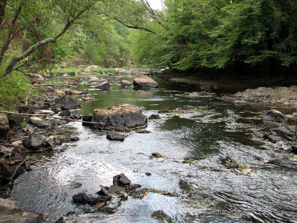
Eno River
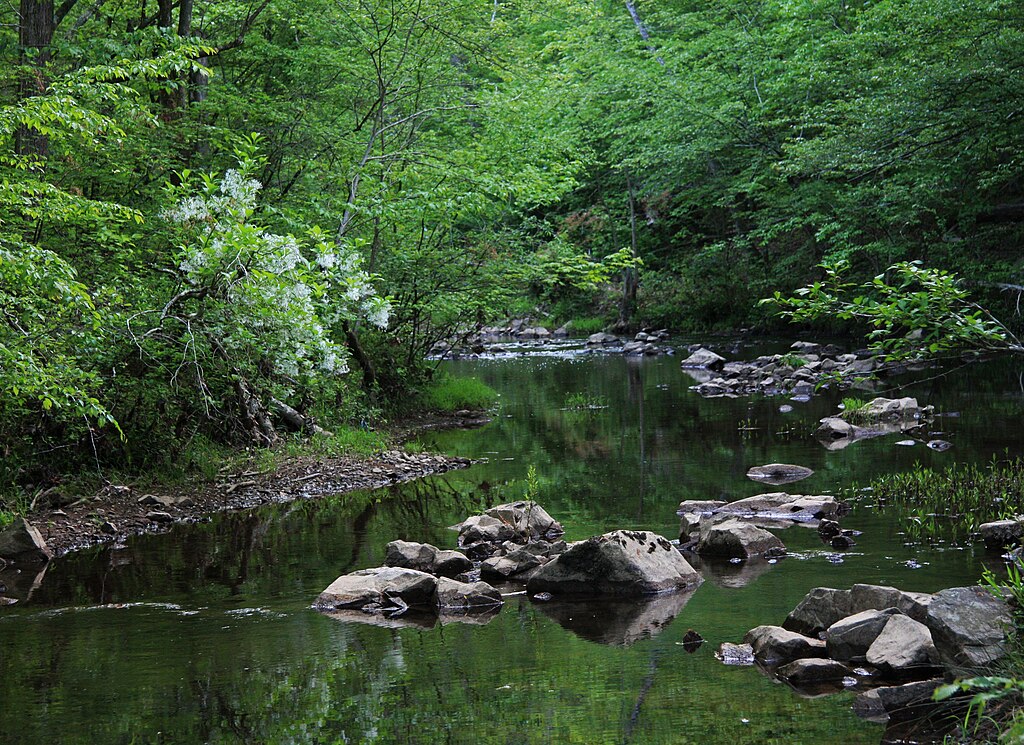
New Hope Creek

Neuse River
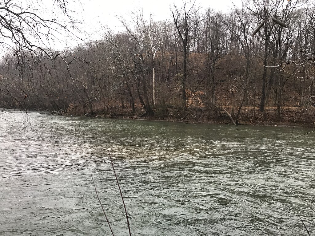
Smith River
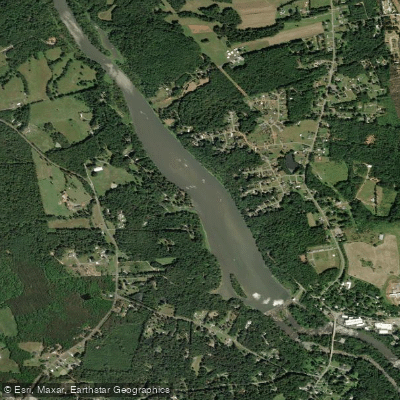
Sellers Manufacturing Company Lake
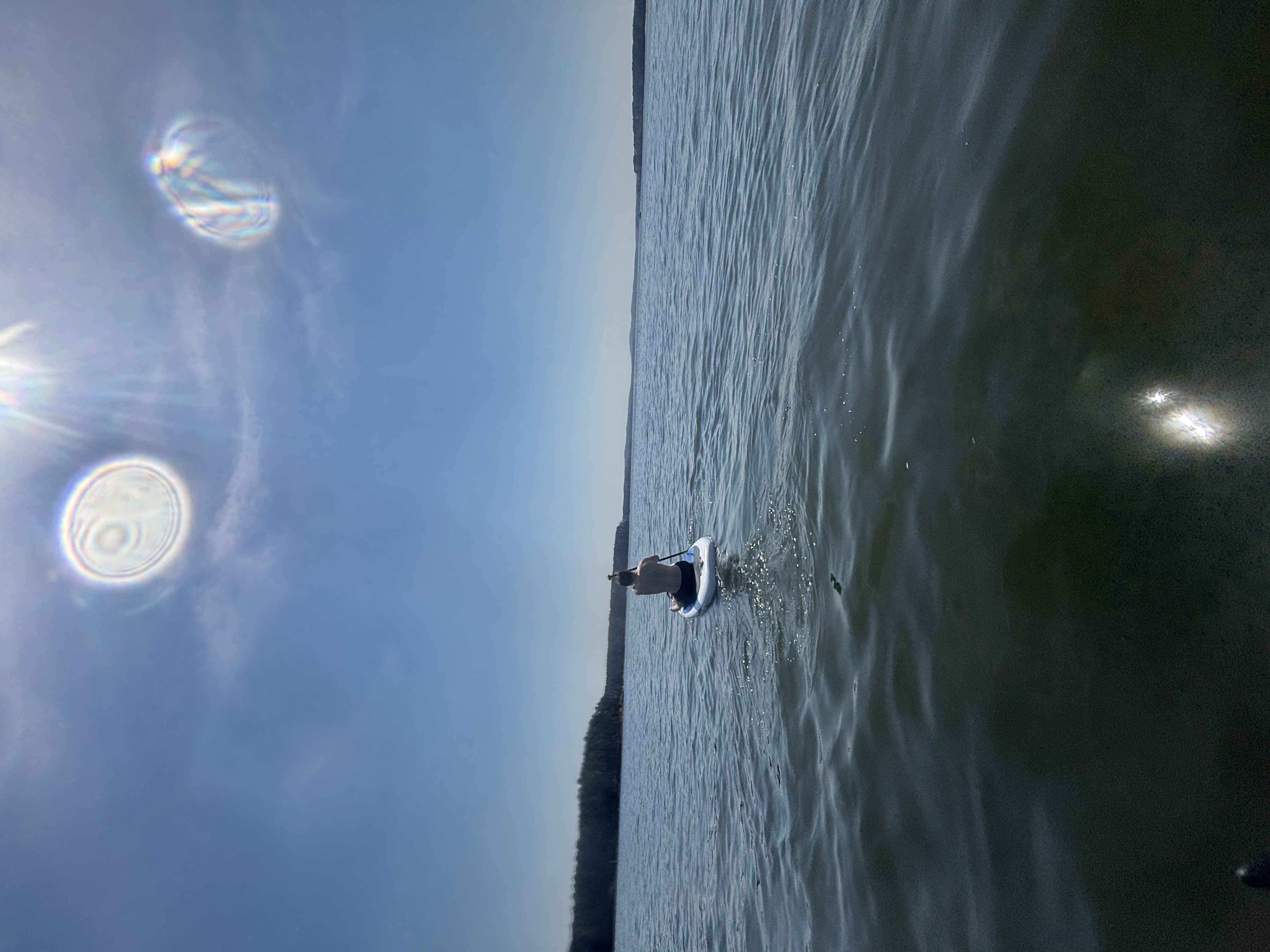
B Everett Jordan Lake
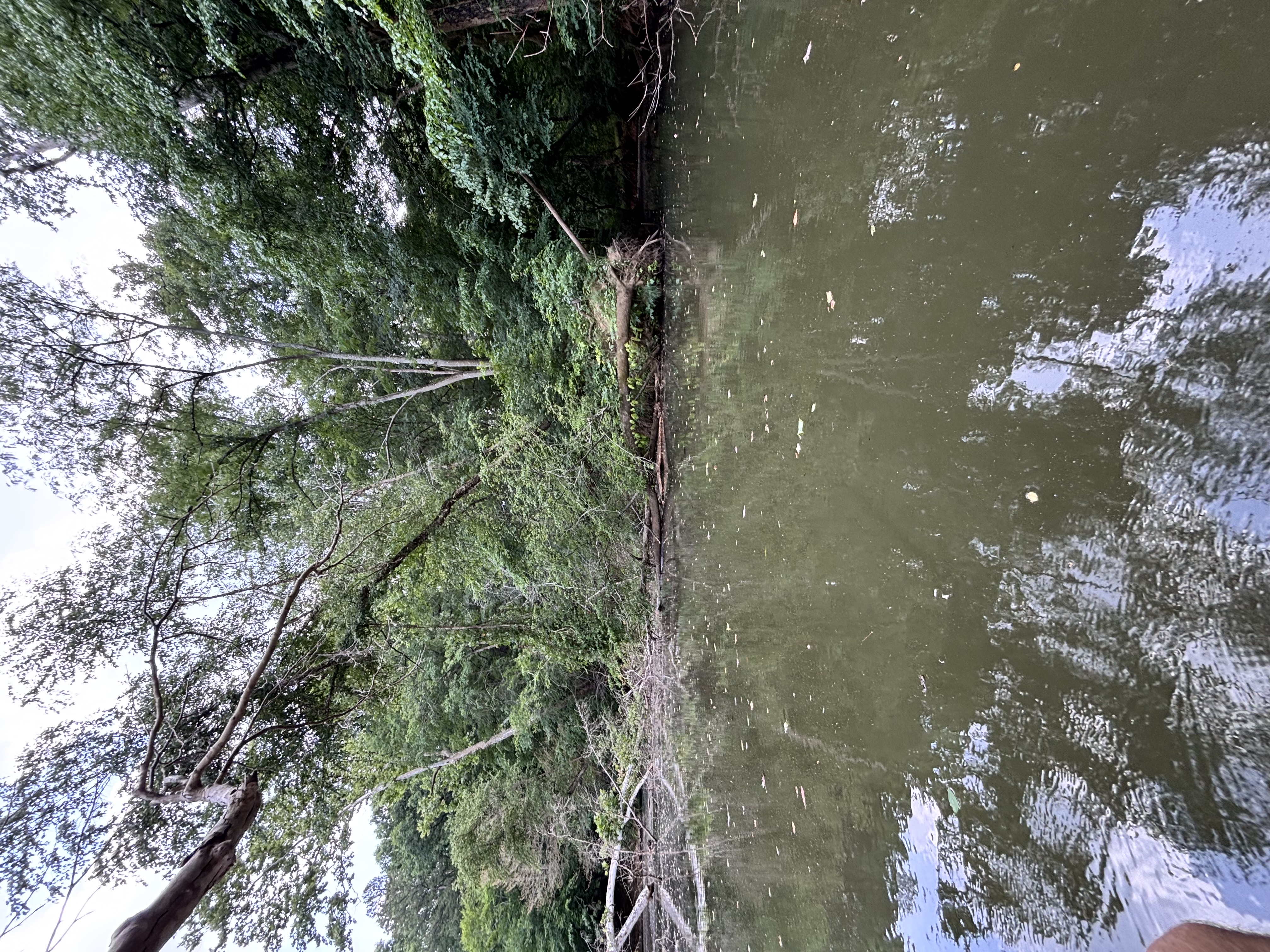
Big Alamance Creek
Deep River
Explore North Carolina waters
Top paddling waters
Popular Cities
Loading popular cities...
Explore near Stony Creek Reservoir
Access points
Nearby waters
More in North Carolina

Smarter Paddling Starts in the App.
Paddleways gives you everything you need to plan smarter, paddle better, and own every trip from first launch to takeout.