Blounts Bay
- Saltwater
- Bay
Blounts Bay
- Saltwater
- Bay
- Sq. miles
- 2.4
- Boat Ramps
- 0
- Access Points
- 0
- Campsites
- 0
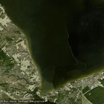
Blounts Bay is a broad, open bay on the Pamlico River in Beaufort County, North Carolina. It is a brackish, saltwater environment that experiences significant wind exposure and can become choppy, especially during midday when winds pick up. Paddlers crossing the Pamlico River to reach the bay should be prepared for open water conditions with potentially difficult waves, particularly for shorter kayaks. The wind often subsides within the more protected confines of the bay itself. The primary access for paddlers is via Blounts Creek, which flows into the bay. Cotton Patch Landing, an RV campground and marina on Blounts Creek, features a public boat ramp and a small shop for basic supplies, making it a practical launch and take-out point. Another potential launch site is the Sand Beach Road Pier, which involves open water paddling in Blounts Bay. The area is characterized by low-lying land, and the bay receives substantial runoff and drainage after rain events, which can impact water quality. A monitoring site within Blounts Bay has historically passed weekly water quality tests. The surrounding landscape offers little shade, so sun protection is essential. Wildlife sightings in the connected creeks and maritime forests can include birds, raccoons, and various aquatic species. The bay serves as a transition point for longer coastal trips, such as a route from Broad Creek across the Pamlico River and up into Blounts Creek.
Water access, boat ramps & amenities
Learn how to get on Blounts Bay. Uncover great paddling access points, boat ramps, and all the facilities you need for an unforgettable day on the water. Some locations shown may border or include private property. Always check property boundaries and applicable regulations before visiting. PaddleWays's Public & Private Land layer can help you plan your access with confidence.
Paddle smarter with real-time insights
Whether you're en route and conditions shift or you're looking for the best spot based on current flows, we enable you to make informed decisions on the fly.








Find Places to Paddle

Over 400,000 Places to Paddle
Every user gets free access to launch points, boat ramps, and public property parcels.


Tides, wind & water conditions (10 day forecast)
On open water, wind and tide matter as much as the weather. See the best times to paddle Blounts Bay and check the marine forecast before you launch.
Loading tide predictions…
Paddling near Blounts Bay

Neuse River
Tar River
Pamlico River
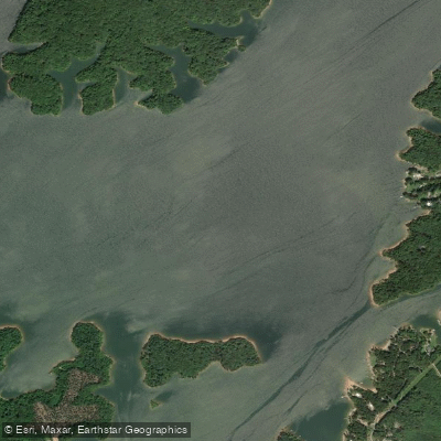
Roanoke River
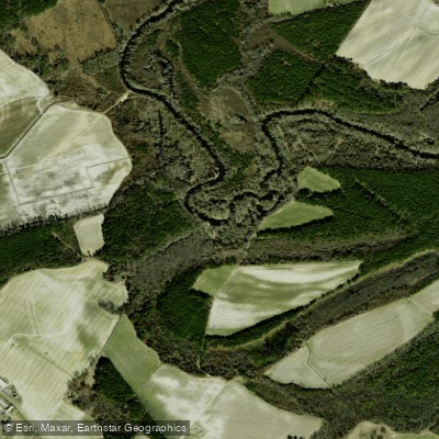
Contentnea Creek
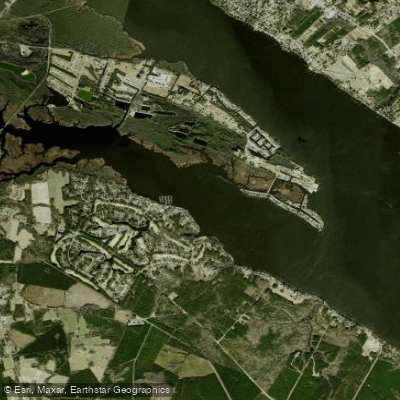
Chocowinity Bay
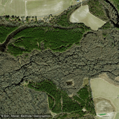
Tranters Creek
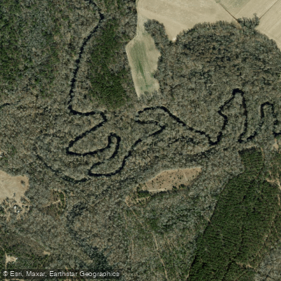
Trent River
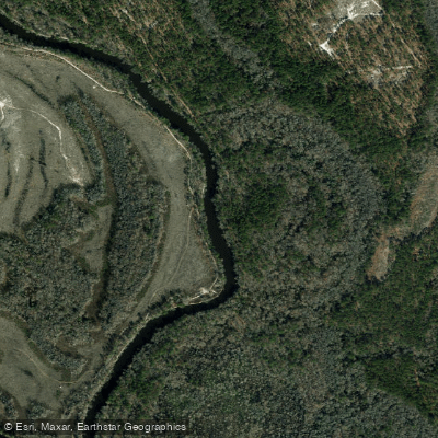
Northeast Cape Fear River
Explore North Carolina waters
Top paddling waters
Popular Cities
Loading popular cities...
Explore near Blounts Bay
Access points
Nearby waters
More in North Carolina

Smarter Paddling Starts in the App.
Paddleways gives you everything you need to plan smarter, paddle better, and own every trip from first launch to takeout.