Tranters Creek
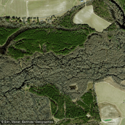
Tranters Creek
- Boat Ramps
- 1
- Access Points
- 1
- Campsites
- 1
Tranters Creek flows through the coastal plain of eastern North Carolina, forming a natural boundary between Pitt and Beaufort Counties. Named for early settler John Tranter, the creek appears on colonial maps of the region and has served as an important waterway since the area's earliest European settlement. This blackwater creek exhibits the dark, tea-colored waters typical of coastal plain streams, stained by tannins from decaying vegetation in the surrounding swamps and forests.
The creek originates in the agricultural lands of Pitt County near Leggetts Crossroads and flows generally southward before emptying into the Tar-Pamlico River system. A Civil War skirmish occurred at Myers Mill near the US Highway 264 crossing, where Federal troops had torn up the bridge during their operations in eastern North Carolina. The waterway courses through a landscape that transitions from agricultural and forestry operations in its upper reaches to more developed residential areas and eventually into pristine Southern River Swamp Forest characterized by bald cypress and water tupelo.
Paddlers can explore over 20 miles of flatwater trails divided into distinct sections. The Upper Tranters Creek Trail covers 9 miles from Wards Bridge (SR 1556) to US Highway 264, while the Lower Tranters Creek Trail extends 11.4 miles from Highway 264 to Clarks Neck NCWRC boat ramp at Mason's Landing. All sections feature flatwater conditions suitable for beginners, though the creek experiences heavy use by motorized fishing and pleasure craft, particularly in the lower reaches. Wind conditions can significantly affect paddling, often playing a more substantial role than tidal influences despite the creek's connection to the Pamlico River system.
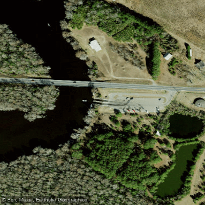
Access points include Wards Bridge, the US Highway 264 bridge crossing, Tranters Creek Campground and Resort on Clarks Neck Road, and the Clarks Neck NCWRC boat ramp. The town of Washington, North Carolina serves as the primary gateway community, located just minutes from multiple access points. Greenville provides access to the upper sections of the creek.
The creek supports diverse wildlife typical of coastal plain blackwater systems. Paddlers frequently encounter wading birds, waterfowl, and various fish species. The surrounding floodplain forests provide habitat for species adapted to periodically inundated conditions.
Year-round paddling is possible, though water levels can vary seasonally. The creek maintains navigable depths during most conditions, making it accessible throughout the year. Paddlers should monitor wind forecasts, as exposed sections can become challenging during strong winds. The proximity to motorized boat traffic requires awareness and appropriate safety precautions, particularly on the lower sections where the creek widens considerably before reaching the Tar River.
Water access, boat ramps & amenities
Learn how to get on Tranters Creek. Uncover great paddling access points, boat ramps, and all the facilities you need for an unforgettable day on the water. Some locations shown may border or include private property. Always check property boundaries and applicable regulations before visiting. PaddleWays's Public & Private Land layer can help you plan your access with confidence.
Paddle smarter with real-time insights
Whether you're en route and conditions shift or you're looking for the best spot based on current flows, we enable you to make informed decisions on the fly.








Find Places to Paddle

Over 400,000 Places to Paddle
Every user gets free access to launch points, boat ramps, and public property parcels.


Water and weather conditions (10 day forecast)
See the best times to paddle Tranters Creek and check the forecast before you go.
No forecast data available.
Paddling near Tranters Creek

Neuse River
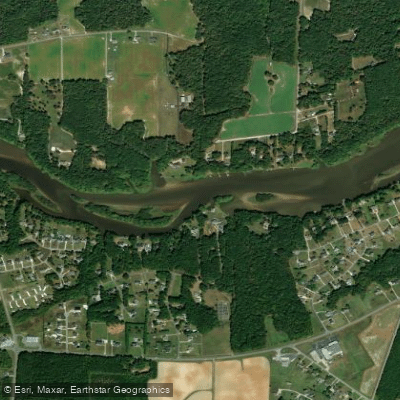
Tar River
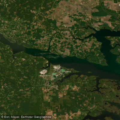
Pamlico River
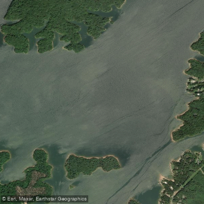
Roanoke River
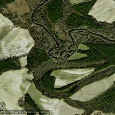
Contentnea Creek
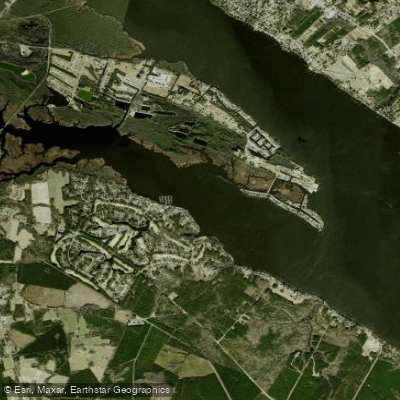
Chocowinity Bay
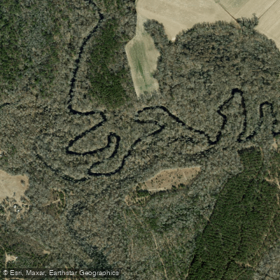
Trent River
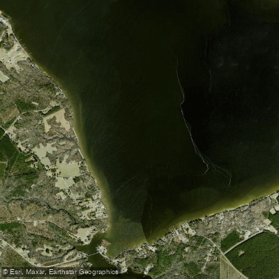
Blounts Bay
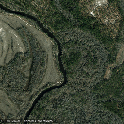
Northeast Cape Fear River
Explore North Carolina waters
Top paddling waters
Popular Cities
Loading popular cities...
Explore near Tranters Creek
Access points
Nearby waters
More in North Carolina

Smarter Paddling Starts in the App.
Paddleways gives you everything you need to plan smarter, paddle better, and own every trip from first launch to takeout.