Chocowinity Bay
- Saltwater
- Bay
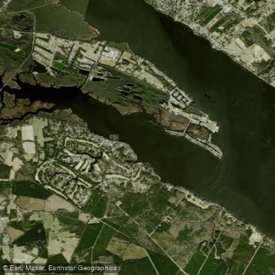
Chocowinity Bay
- Saltwater
- Bay
- Sq. miles
- 1.3
- Boat Ramps
- 0
- Access Points
- 0
- Campsites
- 1
Chocowinity Bay is a coastal bay on the Pamlico River, upstream from the Pamlico Sound. It is a saltwater feature with direct access to the larger Pamlico River system. The bay is known for its wide, calm waters, which provide a picturesque and easy paddling environment suitable for inexperienced paddlers. The shoreline is largely uninhabited and covered with cypress trees, cattails, and marsh, offering a peaceful natural setting. The area is part of a designated paddle trail network, and it is possible to paddle a loop trail here.
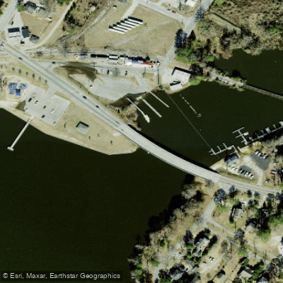
For paddlers, access is a primary consideration. A public boat ramp that launches directly into the bay is not clearly identified, with several ramps in the area noted as being private. The main identified access points are within private developments or campgrounds. Cypress Landing, a private residential community, has a waterfront kayak launch area and racks. Twin Lakes RV & Camping Resort offers boat ramp access to both the Pamlico River and Chocowinity Bay, though this is a private campground. The Pamlico-Tar River Foundation has conducted youth kayaking programs on the bay, indicating it is a used paddling location. Given its connection to the Pamlico River, paddlers should be prepared for conditions influenced by wind and tide. The bay is open to boat traffic, including vessels up to 42 feet using the marina at Cypress Landing, so paddlers must remain aware. The water has a brown color, and wildlife includes red-winged blackbirds, geese, snakes, and turtles. Historical points of interest nearby include Castle Island in the Pamlico River, which features old dock pilings from a Civil War-era lime processing operation.
Water access, boat ramps & amenities
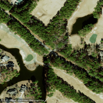
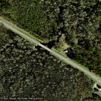
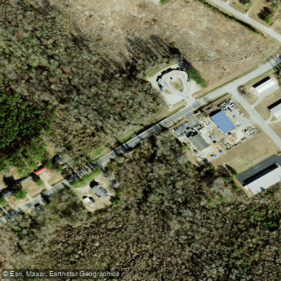
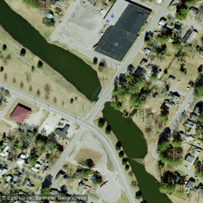
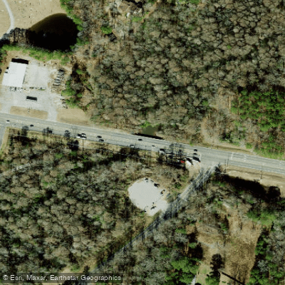
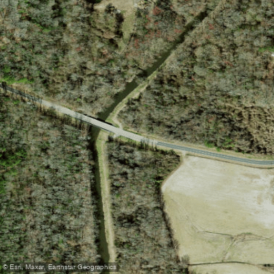
Learn how to get on Chocowinity Bay. Uncover great paddling access points, boat ramps, and all the facilities you need for an unforgettable day on the water. Some locations shown may border or include private property. Always check property boundaries and applicable regulations before visiting. PaddleWays's Public & Private Land layer can help you plan your access with confidence.
Paddle smarter with real-time insights
Whether you're en route and conditions shift or you're looking for the best spot based on current flows, we enable you to make informed decisions on the fly.








Find Places to Paddle

Over 400,000 Places to Paddle
Every user gets free access to launch points, boat ramps, and public property parcels.


Tides, wind & water conditions (10 day forecast)
On open water, wind and tide matter as much as the weather. See the best times to paddle Chocowinity Bay and check the marine forecast before you launch.
Loading tide predictions…
Paddling near Chocowinity Bay

Neuse River
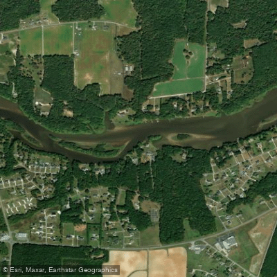
Tar River
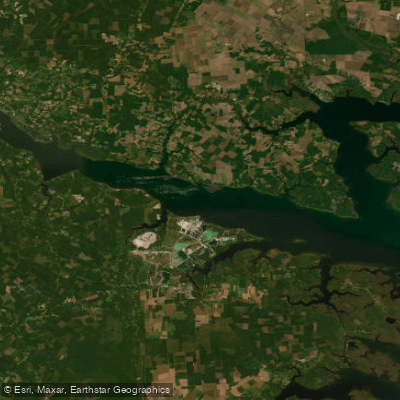
Pamlico River
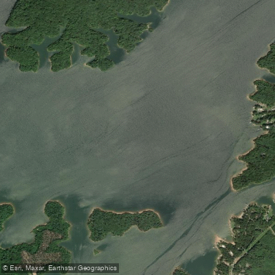
Roanoke River
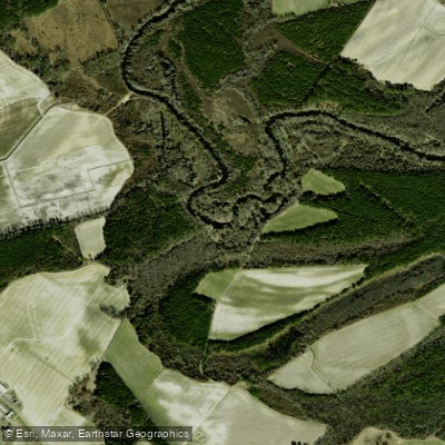
Contentnea Creek
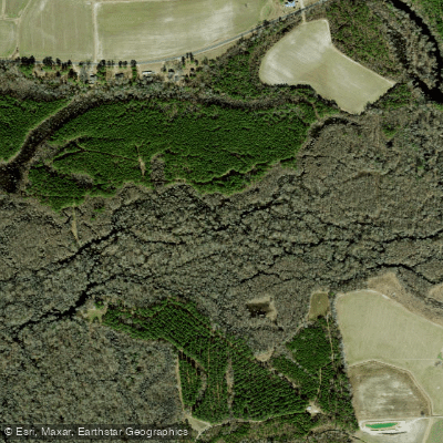
Tranters Creek
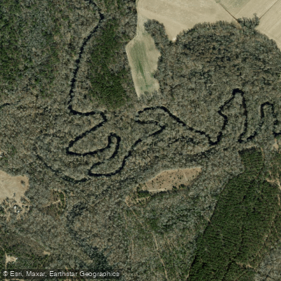
Trent River
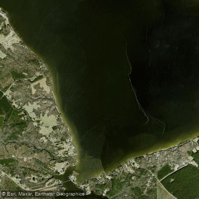
Blounts Bay
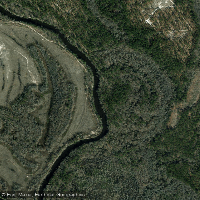
Northeast Cape Fear River
Explore North Carolina waters
Top paddling waters
Popular Cities
Loading popular cities...
Explore near Chocowinity Bay
Access points
Nearby waters
More in North Carolina

Smarter Paddling Starts in the App.
Paddleways gives you everything you need to plan smarter, paddle better, and own every trip from first launch to takeout.