Brunswick River
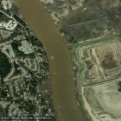
Brunswick River
- Boat Ramps
- 0
- Access Points
- 0
- Campsites
- 0
The Brunswick River in North Carolina is a 6.2-mile tidal waterway that forms a western fork of the Cape Fear River system near Leland in Brunswick County. Beginning as an offshoot of the Cape Fear River at Navassa, the river flows southward along the western edge of Eagle Island before rejoining the Cape Fear at the island's southern tip. This creates a natural loop that paddlers have capitalized on for one of coastal North Carolina's few circular water trails.
The river serves as the primary access corridor to Eagle Island, a largely undeveloped 12,000-acre tract located at the confluence of the Cape Fear and Brunswick Rivers. Mill Creek and Alligator Creek feed into the Brunswick, with Alligator Creek providing one of the few navigable entry points into Eagle Island's interior network of remnant rice canals and tidal creeks. The river's wide, slow-moving waters make it an ideal flatwater paddling destination, though tidal influences significantly affect water levels and current direction throughout the day.
Paddling opportunities range from easy 6-mile point-to-point trips along Eagle Island's western shore to the challenging 16-mile Brunswick River Trail Loop. This unique circular route begins at Davis Creek Estuarine Water Access Area in Navassa, follows Cartwheel Branch to the Cape Fear River, passes the Wilmington waterfront, and returns upstream via the Brunswick River. Successful completion of the loop requires careful tide planning, as paddlers benefit greatly from incoming tides during the 7.5-mile upstream return. Intermediate paddlers often launch from Sturgeon Creek Park in Leland, exploring the creek's confluence with the Brunswick before venturing into Alligator Creek and Eagle Island's interior channels.
The Brunswick River corridor supports diverse coastal ecosystems including tidal marshes, cypress swamps, and wetlands. Paddlers regularly encounter white-tailed deer, river otters, alligators, and bottlenose dolphins. The area hosts exceptional birdwatching opportunities with ospreys, bald eagles, great blue herons, great egrets, and red-winged blackbirds commonly observed. Leland's position within one of three major bird migration flyways in the United States makes seasonal migrations particularly impressive.
Primary access points include Brunswick Riverwalk at Belville (580 River Rd SE, Leland), Sturgeon Creek Park in Leland, and Brunswick River Park on State Road 133 in Belville. These facilities provide kayak launches within minutes of downtown Leland and approximately 15 minutes from Wilmington. Eagle Island's historical significance as former rice plantation land is evident in the preserved canal systems still navigable by kayak today.
Paddlers should monitor weather conditions carefully, as wind exposure on the wide river sections can create challenging conditions. Duck hunting season requires extra caution in certain areas. The river remains accessible year-round, though spring through fall offers the most comfortable conditions and active wildlife viewing.
Water access, boat ramps & amenities
Learn how to get on Brunswick River. Uncover great paddling access points, boat ramps, and all the facilities you need for an unforgettable day on the water. Some locations shown may border or include private property. Always check property boundaries and applicable regulations before visiting. PaddleWays's Public & Private Land layer can help you plan your access with confidence.
Paddle smarter with real-time insights
Whether you're en route and conditions shift or you're looking for the best spot based on current flows, we enable you to make informed decisions on the fly.








Find Places to Paddle

Over 400,000 Places to Paddle
Every user gets free access to launch points, boat ramps, and public property parcels.


Water and weather conditions (10 day forecast)
See the best times to paddle Brunswick River and check the forecast before you go.
No forecast data available.
Paddling near Brunswick River
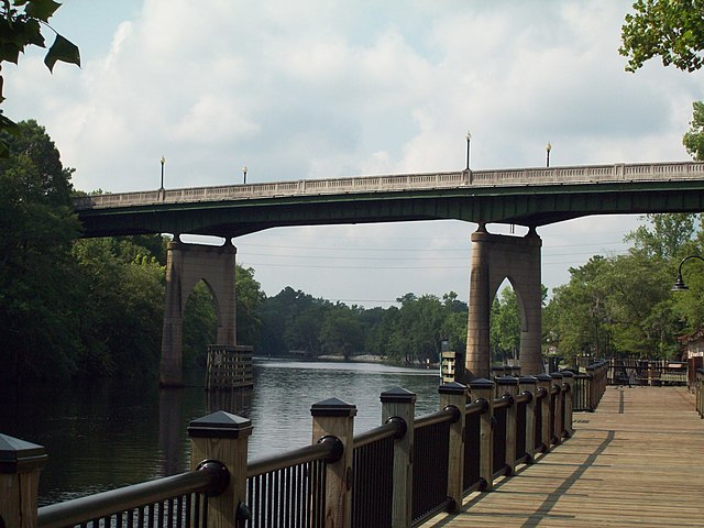
Waccamaw River
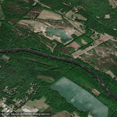
Cape Fear River
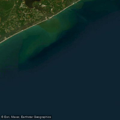
Onslow Bay
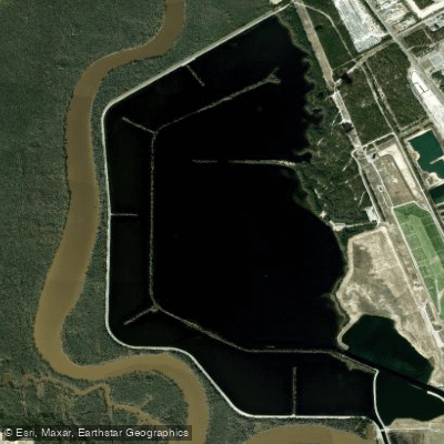
Lake Sutton
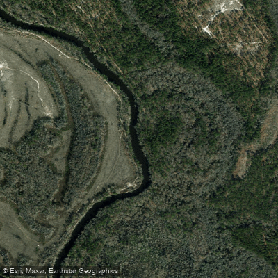
Northeast Cape Fear River
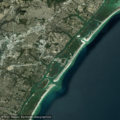
Middle Sound
Black River
Masonboro Sound
Lake Waccamaw
Explore North Carolina waters
Top paddling waters
Popular Cities
Loading popular cities...
Explore near Brunswick River
Access points
Nearby waters
More in North Carolina

Smarter Paddling Starts in the App.
Paddleways gives you everything you need to plan smarter, paddle better, and own every trip from first launch to takeout.