Waccamaw River
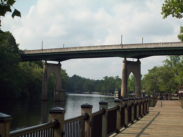
Waccamaw River
- Boat Ramps
- 8
- Access Points
- 9
- Campsites
- 2
The Waccamaw River is a scenic blackwater river that originates at Lake Waccamaw in southeastern North Carolina and flows approximately 140 miles southwest through South Carolina before emptying into Winyah Bay near Georgetown. This slow-moving river meanders through cypress swamps, hardwood bottomlands, and historic rice fields as it traverses the coastal plain.
Paddling opportunities abound on the Waccamaw, with several distinct sections offering unique experiences. The upper reaches in North Carolina provide a remote wilderness feel, while the lower sections in South Carolina offer easier access and more developed surroundings. The river is primarily flatwater with occasional Class I rapids, making it suitable for beginners to intermediate paddlers. The Waccamaw River Heritage Preserve Canoe Trail in South Carolina offers a 25-mile stretch through relatively undisturbed forests. Popular day trips include the Sandy Island section near Myrtle Beach and the Conway to Enterprise Landing route. Multi-day expeditions are possible by camping on sandbars or at designated sites.
Spring and fall are ideal paddling seasons, with comfortable temperatures and higher water levels. Summer can be hot and buggy, while winter brings cooler temperatures but clearer waters for wildlife viewing. The river's tidal influence increases closer to the coast.
The Waccamaw's ecosystem supports diverse flora and fauna. Paddlers may encounter alligators, river otters, turtles, and various wading birds. The river's distinctive tea-colored water comes from tannins leached from decaying vegetation. Key landmarks include the historic port city of Conway, Brookgreen Gardens, and Sandy Island - the largest undeveloped freshwater island on the East Coast. The river played an important role in the region's rice cultivation history and was vital to the Waccamaw tribe.
Major access points include Lake Waccamaw State Park, Conway, and numerous landings along the river's course. Paddlers should be aware of tides, submerged logs, and alligators. Local outfitters offer guided trips and rentals for those unfamiliar with the river. The Waccamaw River Blue Trail initiative has improved access and conservation efforts along the waterway. Whether seeking a short scenic paddle or a multi-day adventure, the Waccamaw offers a quintessential Southern river experience through a unique and ecologically important landscape.
Water access, boat ramps & amenities
Learn how to get on Waccamaw River. Uncover great paddling access points, boat ramps, and all the facilities you need for an unforgettable day on the water. Some locations shown may border or include private property. Always check property boundaries and applicable regulations before visiting. PaddleWays's Public & Private Land layer can help you plan your access with confidence.
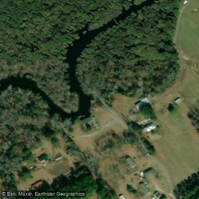
Paddle smarter with real-time insights
Whether you're en route and conditions shift or you're looking for the best spot based on current flows, we enable you to make informed decisions on the fly.








Find Places to Paddle

Over 400,000 Places to Paddle
Every user gets free access to launch points, boat ramps, and public property parcels.


Water and weather conditions (10 day forecast)
See the best times to paddle Waccamaw River and check the forecast before you go.
WACCAMAW RIVER NEAR LONGS, SC
All Flow Stations
Paddling near Waccamaw River
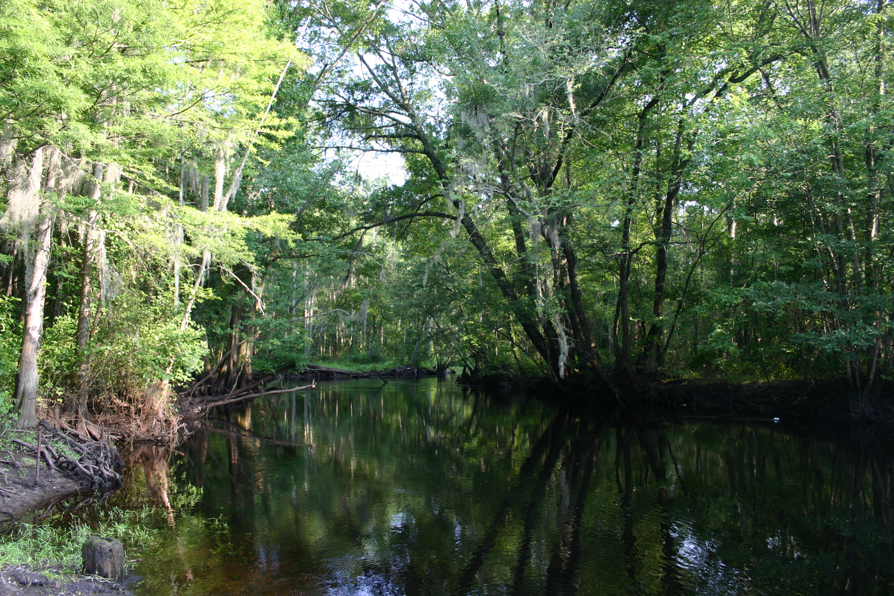
Little Pee Dee River
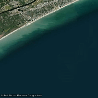
White Point Swash
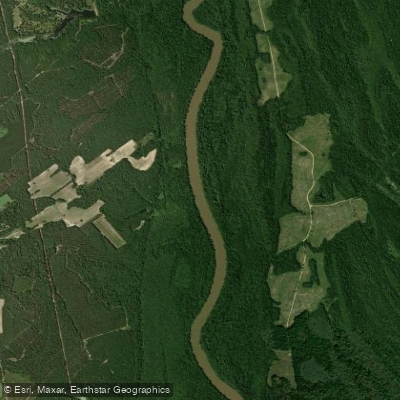
Great Pee Dee River
Intracoastal Waterway
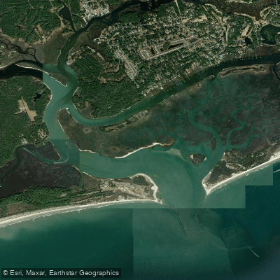
Little River Inlet
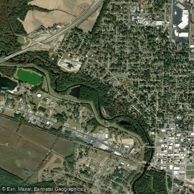
Lumber River
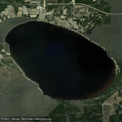
Lake Waccamaw
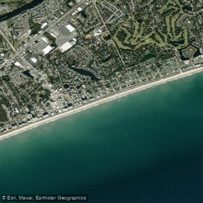
Ocean Drive Beach
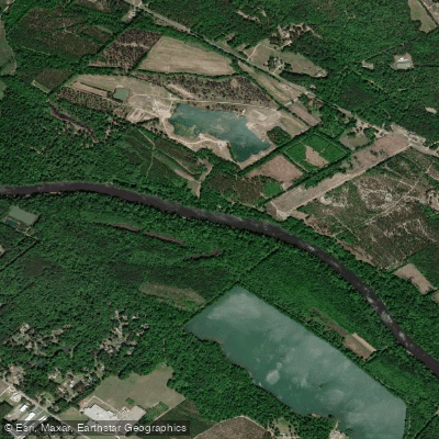
Cape Fear River
Explore North Carolina waters
Top paddling waters
Popular Cities
Loading popular cities...
Explore near Waccamaw River
Access points
Nearby waters
More in North Carolina

Smarter Paddling Starts in the App.
Paddleways gives you everything you need to plan smarter, paddle better, and own every trip from first launch to takeout.