Lumber River
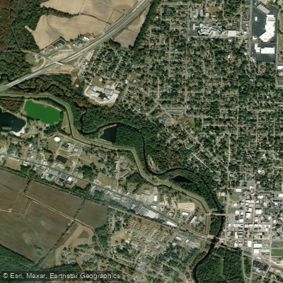
Lumber River
- Boat Ramps
- 9
- Access Points
- 13
- Campsites
- 8
The Lumber River is a 133-mile long blackwater river flowing through south-central North Carolina and into South Carolina. It originates as Drowning Creek in the Sandhills region near Southern Pines, NC and flows generally southeast before joining the Little Pee Dee River near Nichols, SC. The river's watershed covers approximately 1,750 square miles in the Coastal Plain.
Paddling opportunities abound on the Lumber River, with over 115 miles of waterway designated as a National Wild and Scenic River. The upper sections near its headwaters offer more technical paddling through narrow, swift channels with fallen trees. As the river widens downstream, it becomes an easier flatwater paddle suitable for beginners. Popular sections include the 22-mile Upper Lumber River Wild and Scenic stretch from SR 1412 to the Scotland/Robeson County line, and the 8.3-mile Chalks Banks section from SR 1412 to US 401. The river's difficulty ranges from Class I flatwater to occasional Class II rapids in the upper reaches. Most sections are suitable for canoes and kayaks.
Spring and fall offer ideal paddling conditions, while summer can bring low water levels and winter sees colder temperatures.
The Lumber River's ecosystem supports diverse flora and fauna. Cypress and tupelo trees draped in Spanish moss line the banks. Wildlife includes river otters, beavers, and over 50 species of fish. Paddlers may spot great blue herons, wood ducks, and even the occasional alligator.
Key landmarks include Lumber River State Park, with access points at Princess Ann and Chalk Banks. The park offers camping, hiking trails, and interpretive programs. Historic sites like the town of Fair Bluff provide glimpses into the region's past.
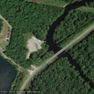
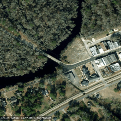
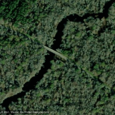
Major access points include: - Turnpike Road near Wagram, NC - Chalk Banks Access near Wagram, NC - Princess Ann Access near Orrum, NC - Fair Bluff, NC
The river holds great cultural significance for the Lumbee Tribe of North Carolina. It was an important transportation route for early settlers and played a role in the region's timber industry.
Paddlers should be aware of fallen trees and strainers, especially in upper sections. Check water levels before trips, as low water can make paddling difficult. Multi-day trips are possible, with primitive campsites available along the route.
The Lumber River offers a quintessential southeastern blackwater paddling experience, combining natural beauty, rich history, and diverse ecosystems into an unforgettable adventure.
Water access, boat ramps & amenities
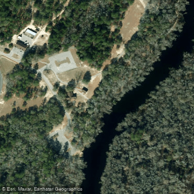
Learn how to get on Lumber River. Uncover great paddling access points, boat ramps, and all the facilities you need for an unforgettable day on the water. Some locations shown may border or include private property. Always check property boundaries and applicable regulations before visiting. PaddleWays's Public & Private Land layer can help you plan your access with confidence.
Paddle smarter with real-time insights
Whether you're en route and conditions shift or you're looking for the best spot based on current flows, we enable you to make informed decisions on the fly.








Find Places to Paddle

Over 400,000 Places to Paddle
Every user gets free access to launch points, boat ramps, and public property parcels.


Water and weather conditions (10 day forecast)
See the best times to paddle Lumber River and check the forecast before you go.
LUMBER RIVER AT NICHOLS, SC
All Flow Stations
Paddling near Lumber River
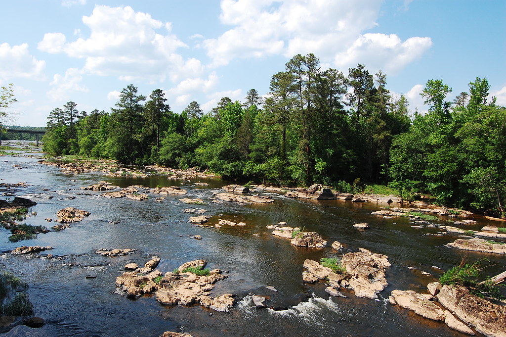
Haw River
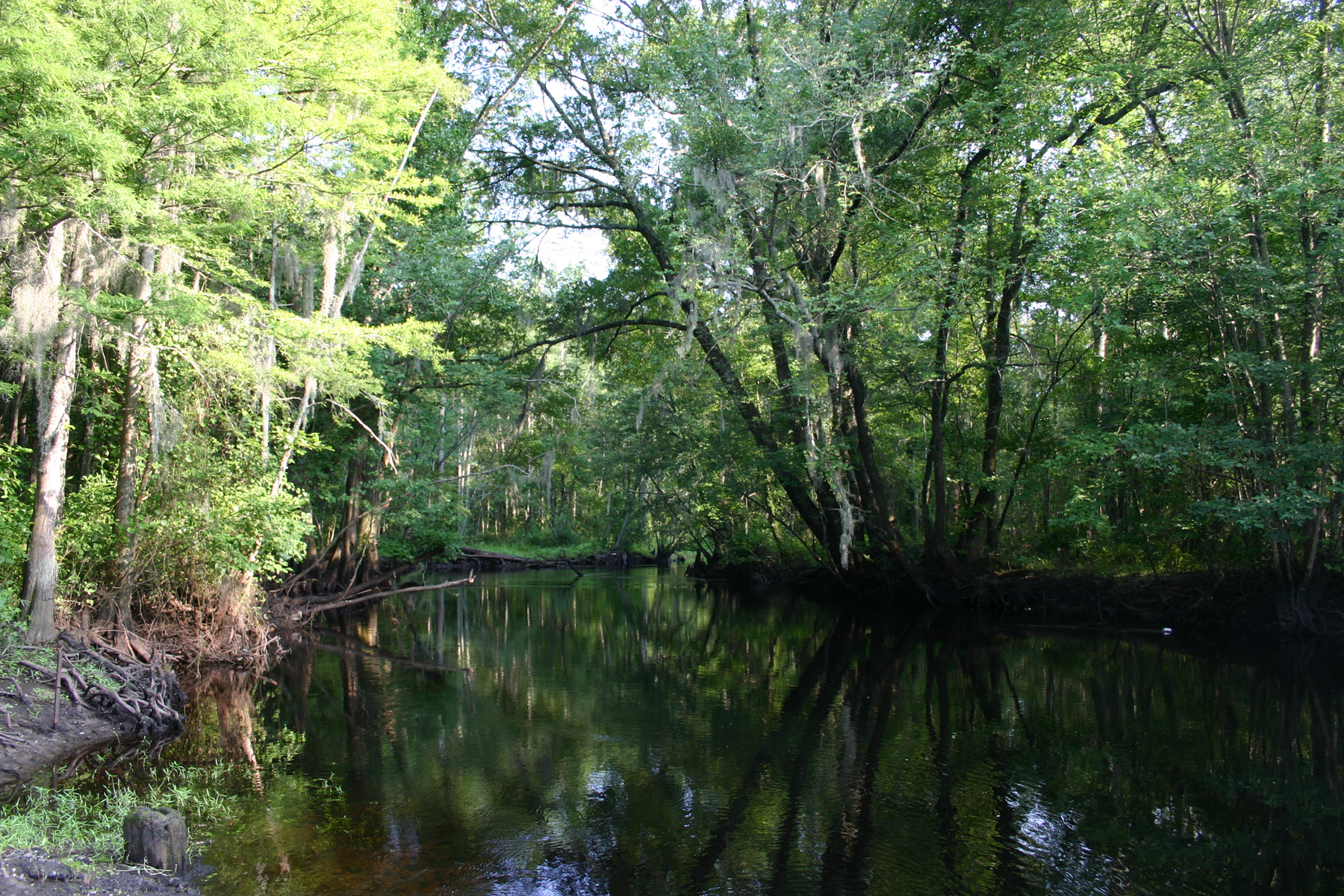
Little Pee Dee River

Neuse River
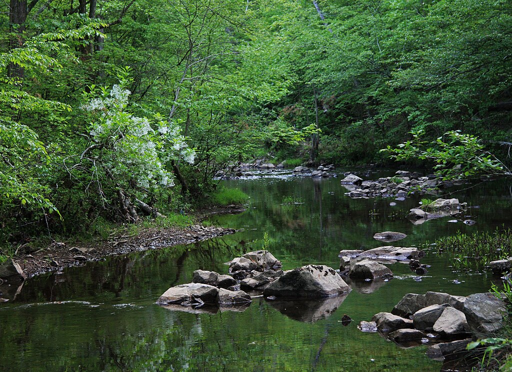
New Hope Creek
Cape Fear River
Lake Rim
Rhodes Pond
B Everett Jordan Lake
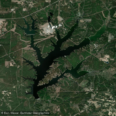
Shearon Harris Reservoir
Explore North Carolina waters
Top paddling waters
Popular Cities
Loading popular cities...
Explore near Lumber River
Access points
Nearby waters
More in North Carolina

Smarter Paddling Starts in the App.
Paddleways gives you everything you need to plan smarter, paddle better, and own every trip from first launch to takeout.