Little Pee Dee River
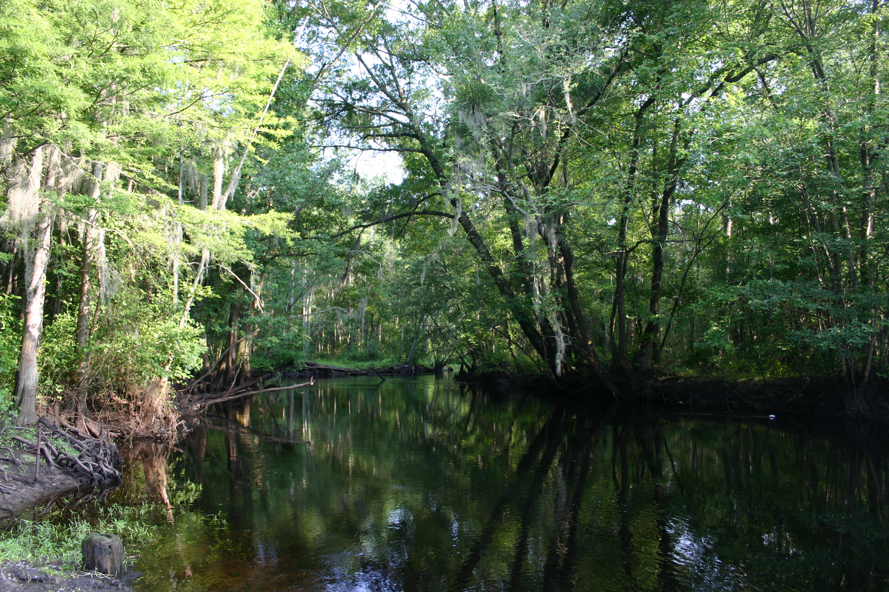
Little Pee Dee River
- Boat Ramps
- 18
- Access Points
- 20
- Campsites
- 2
The Little Pee Dee River is a scenic blackwater river that flows through eastern South Carolina. Originating in the Sandhills region near the North Carolina border, it meanders southeastward for approximately 120 miles before joining the Great Pee Dee River near Yauhannah, SC. The river system drains a watershed of about 1,920 square miles. Paddling opportunities abound on the Little Pee Dee, with a 48-mile stretch in Dillon County designated as a State Scenic River in 2005.
The river offers a mix of easy flatwater paddling and more challenging sections with swift currents and obstacles. A popular 27-mile water trail runs from Moccasin Bluff Landing to Huggins Bridge Landing, providing an excellent 2-3 day trip option. The difficulty ranges from easy to moderate, with some sections requiring more skill to navigate around fallen trees and strainers. Most sections are suitable for intermediate paddlers, though beginners can enjoy the calmer stretches. The river is best paddled in spring and fall when water levels are typically higher and temperatures more moderate.
The Little Pee Dee's ecosystem is rich and diverse, featuring cypress-tupelo swamps, sandy banks, and hardwood forests. Paddlers may spot wildlife such as deer, river otters, and various bird species. The river is also known for its excellent fishing, with popular catches including bluegill, redbreast sunfish, and largemouth bass.
Key access points include Moccasin Bluff Landing near Hamer, Stafford's Bridge (US 301/501), Dillon County Park, and Huggins Bridge Landing. The nearby towns of Dillon and Mullins provide services for paddlers. Historically, the river played a role in early settlement and trade in the region. Today, it serves as an important recreational resource and natural habitat.
Paddlers should be aware of potential hazards such as submerged logs and varying water levels. It's advisable to check current conditions and water levels before embarking on a trip. For those seeking a multi-day adventure, the Little Pee Dee State Park offers camping facilities, making it an ideal base for exploring the scenic river.
Whether enjoying a short day trip or a longer expedition, the Little Pee Dee River offers a quintessential South Carolina paddling experience, showcasing the natural beauty of the state's coastal plain.
Water access, boat ramps & amenities
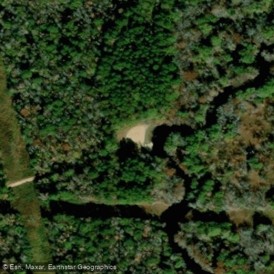
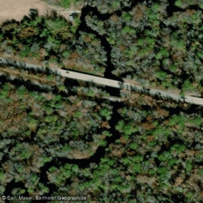
Learn how to get on Little Pee Dee River. Uncover great paddling access points, boat ramps, and all the facilities you need for an unforgettable day on the water. Some locations shown may border or include private property. Always check property boundaries and applicable regulations before visiting. PaddleWays's Public & Private Land layer can help you plan your access with confidence.
Paddle smarter with real-time insights
Whether you're en route and conditions shift or you're looking for the best spot based on current flows, we enable you to make informed decisions on the fly.








Find Places to Paddle

Over 400,000 Places to Paddle
Every user gets free access to launch points, boat ramps, and public property parcels.


Water and weather conditions (10 day forecast)
See the best times to paddle Little Pee Dee River and check the forecast before you go.
LITTLE PEE DEE RIVER NEAR DILLON, SC
All Flow Stations
Paddling near Little Pee Dee River
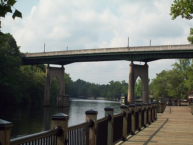
Waccamaw River
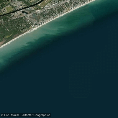
White Point Swash
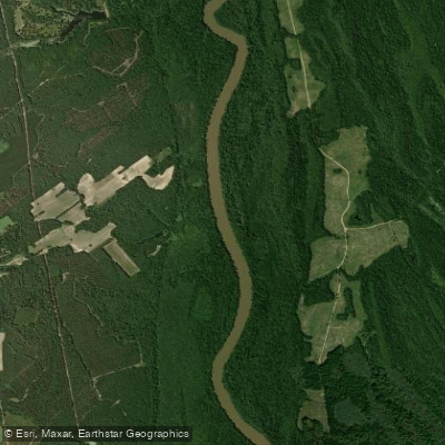
Great Pee Dee River
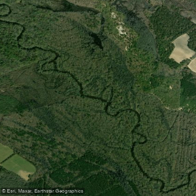
Lynches River
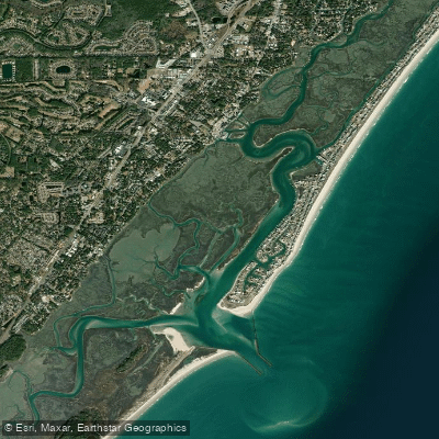
Murrells Inlet
Lumber River
Black River
Myrtle Beach
Lake Waccamaw
Explore South Carolina waters
Top paddling waters
Popular Cities
Loading popular cities...
Explore near Little Pee Dee River
Access points
Nearby waters
More in South Carolina

Smarter Paddling Starts in the App.
Paddleways gives you everything you need to plan smarter, paddle better, and own every trip from first launch to takeout.