Cape Lookout Shoals
- Saltwater
- Beach
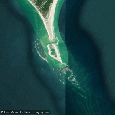
Cape Lookout Shoals
- Saltwater
- Beach
- Sq. miles
- 2.5
- Boat Ramps
- 0
- Access Points
- 0
- Campsites
- 0
Cape Lookout Shoals is a major offshore sandbar system extending approximately 10 miles south from Cape Lookout into the Atlantic Ocean. For paddlers, this is an advanced open-ocean environment where conditions are heavily dictated by wind and swell. Significant wind whips the shoals and can stack waves on top of existing swell, creating challenging and potentially hazardous paddling conditions. The area is known for its dynamic surf, requiring comfort with launching and landing through breaking waves on a beach. The character of the shoals can change dramatically, from quite knarly with strong northeast winds to calm on other mornings. The primary access for paddlers is via the beaches of Core Banks near the Cape Lookout Lighthouse, which is a notable landmark visible from the water. Beach access is open to motor vehicles, so paddlers should be aware of vehicle traffic on the sand. The best paddling conditions occur on calm days, as the significant wind and wave action common here makes crossing the shoals challenging. The overall vibe is one of exposed, wild coastal paddling with strong currents and powerful ocean forces. Paddlers can explore the area around the iconic Cape Lookout Lighthouse and the extensive beaches of Core Banks. The water body is where the warm Gulf Stream and cooler coastal waters mix, supporting abundant marine life. Seasonally, water temperatures can vary quickly, with sea-surface temperatures in the 50s one day and upper 60s the next during transitional periods. The area is historically significant, with the Cape Lookout Lighthouse having warned ships of the shoals' location for over 150 years.
Water access, boat ramps & amenities
Learn how to get on Cape Lookout Shoals. Uncover great paddling access points, boat ramps, and all the facilities you need for an unforgettable day on the water. Some locations shown may border or include private property. Always check property boundaries and applicable regulations before visiting. PaddleWays's Public & Private Land layer can help you plan your access with confidence.
Paddle smarter with real-time insights
Whether you're en route and conditions shift or you're looking for the best spot based on current flows, we enable you to make informed decisions on the fly.








Find Places to Paddle

Over 400,000 Places to Paddle
Every user gets free access to launch points, boat ramps, and public property parcels.


Tides, wind & water conditions (10 day forecast)
On open water, wind and tide matter as much as the weather. See the best times to paddle Cape Lookout Shoals and check the marine forecast before you launch.
Loading tide predictions…
Paddling near Cape Lookout Shoals

Neuse River
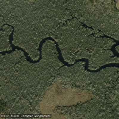
White Oak River
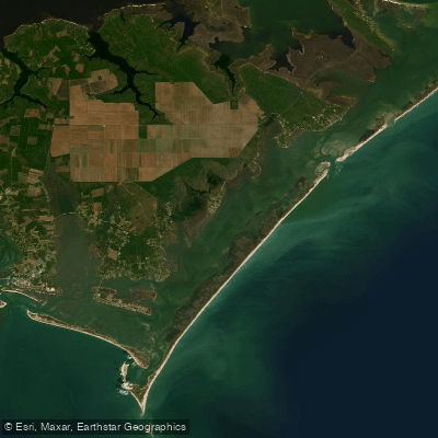
Core Sound
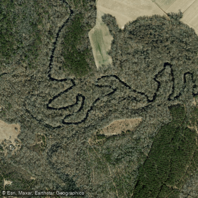
Trent River
Goodwin Creek
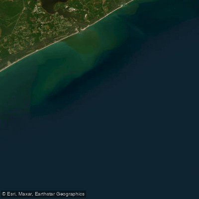
Onslow Bay
Long Lake
Lake Ellis Simon
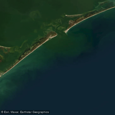
Raleigh Bay
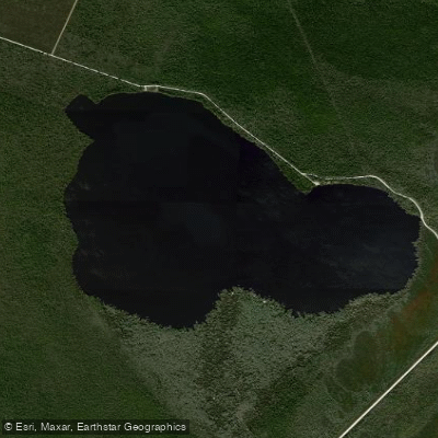
Catfish Lake
Explore North Carolina waters
Top paddling waters
Popular Cities
Loading popular cities...
Explore near Cape Lookout Shoals

Smarter Paddling Starts in the App.
Paddleways gives you everything you need to plan smarter, paddle better, and own every trip from first launch to takeout.