Curated by PaddleWays
RouteClass II–IV
- Distance
- 6.9 mi
- Paddle time
- ~1.5 hrs
- Best for
- Experienced paddlers
- Put-in → take-out
- Cataloochee Campground Access → Walters Dam Access
Potential Class IV features
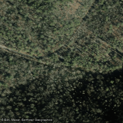
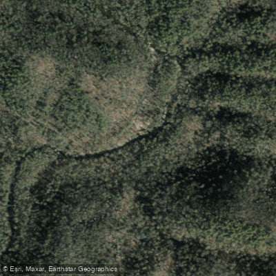
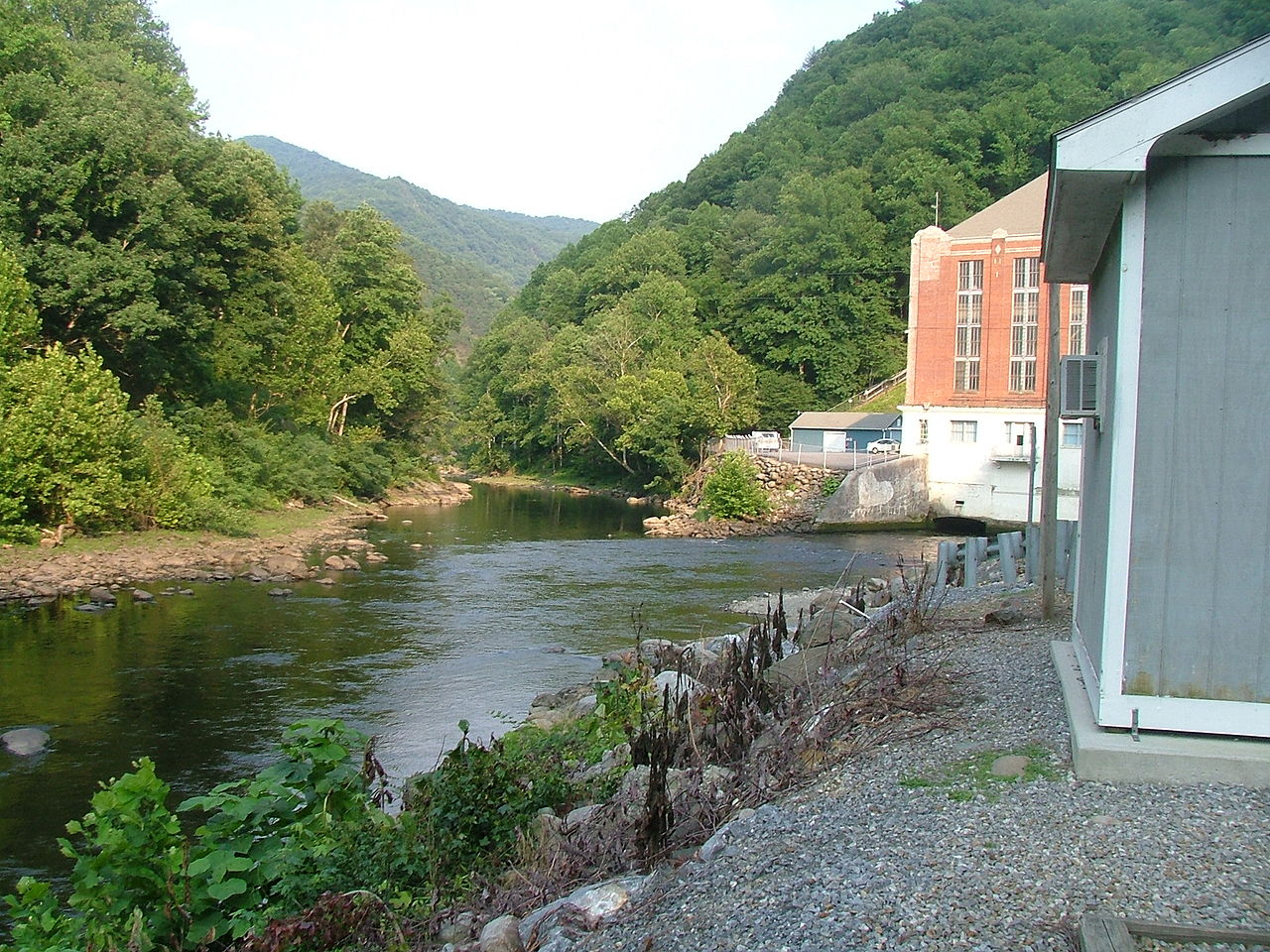
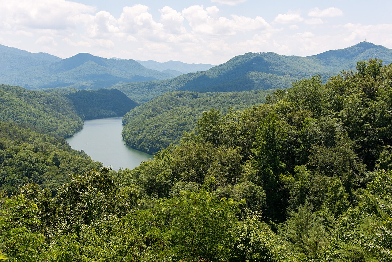
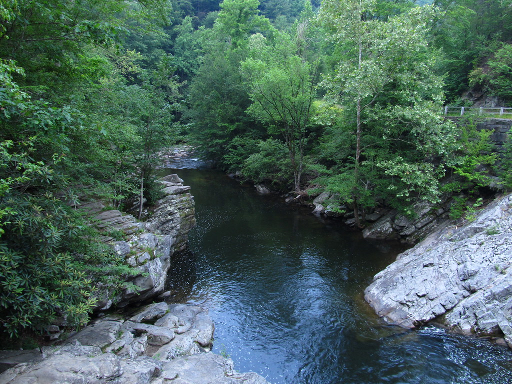
Cataloochee Creek is a picturesque mountain stream nestled in the Cataloochee Valley of Haywood County, North Carolina. Originating high in the Great Smoky Mountains, this creek flows northward through a pristine valley before eventually emptying into Waterville Lake. While the creek's total length is not precisely defined, the primary paddling section spans approximately 6 miles.
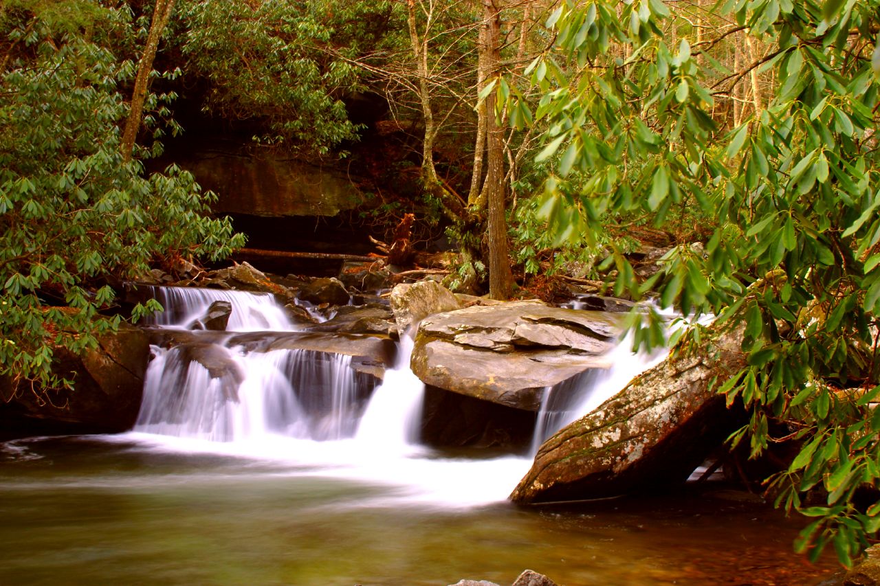
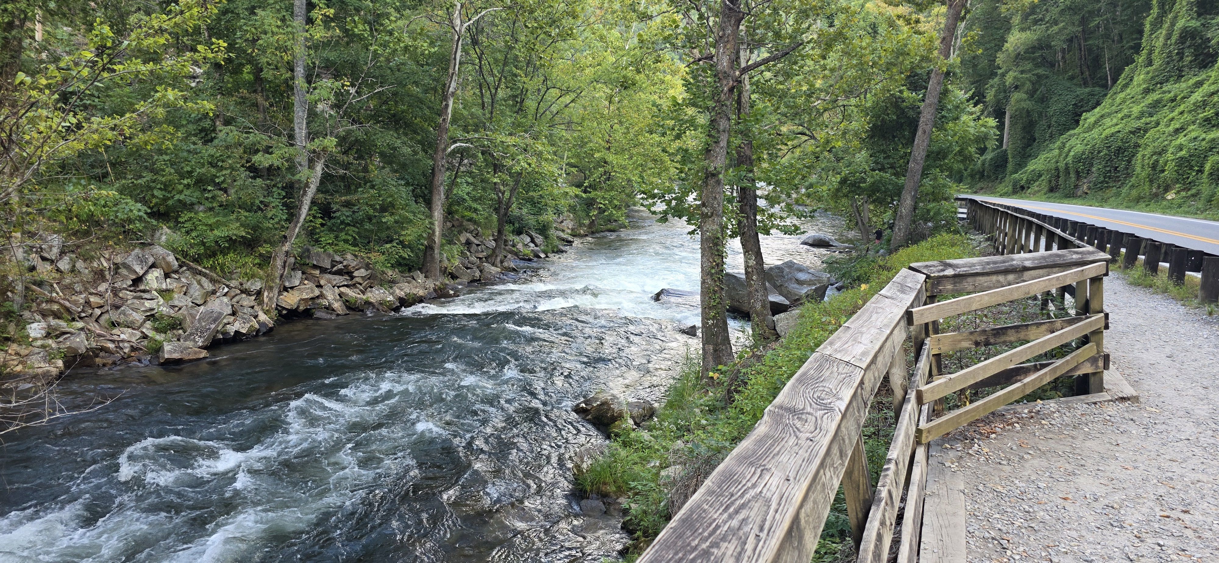
The most notable paddling opportunity on Cataloochee Creek is the stretch from Cataloochee Campground to Waterville Lake. This section offers a mix of Class II to III rapids, with potential Class IV features, making it suitable for intermediate to advanced paddlers. The whitewater presents a combination of technical maneuvering and more straightforward rapids, set against the backdrop of the surrounding mountain ranges.
Seasonal patterns significantly affect the creek's flow, with spring snowmelt and rain typically providing the best paddling conditions. Late spring to early summer often offers optimal water levels, though paddlers should always check current conditions before embarking on a trip.
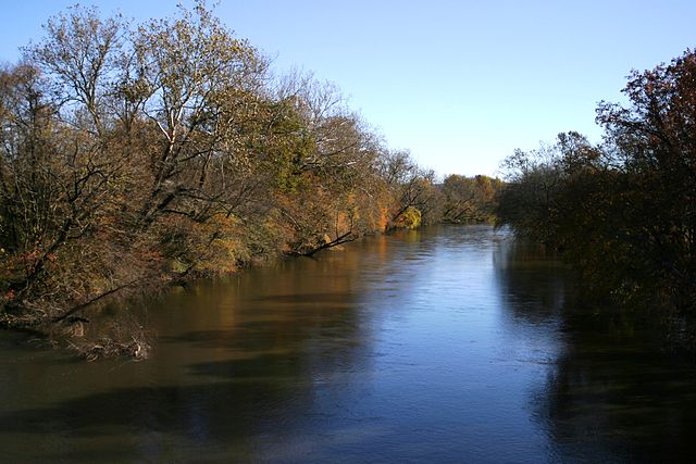
The Cataloochee Valley is renowned for its rich biodiversity. Paddlers may spot diverse wildlife, including elk, which were reintroduced to the area in 2001. The surrounding forest is home to a variety of hardwood trees, creating a spectacular display of colors in the fall.
Key landmarks along the creek include the historic Cataloochee Campground, which serves as the primary put-in point. This campground, open from April 18 to October 26, offers a glimpse into the area's cultural heritage with nearby preserved 19th-century structures.
Access to the creek is primarily through the Great Smoky Mountains National Park. The nearest town of significance is Waynesville, North Carolina, located about 15 miles southwest of the Cataloochee Valley entrance.
Safety considerations are paramount when paddling Cataloochee Creek. The remote nature of the valley means that emergency services may have delayed response times. Paddlers should be well-versed in swift water rescue techniques and carry appropriate safety gear. As the creek runs through a national park, adherents to park regulations, including proper permits and leave-no-trace practices, are essential.
While multi-day trips on Cataloochee Creek itself are not common due to its length, the area offers opportunities for extended stays combining paddling with hiking and wildlife viewing in the surrounding Smoky Mountains.
Cataloochee Creek provides a unique paddling experience, blending challenging whitewater with the serene beauty of one of the most preserved valleys in the eastern United States. Its waters not only offer excitement for paddlers but also tell the story of Appalachian culture and the natural history of the Great Smoky Mountains.
Curated routes
Hand-picked by the PaddleWays team, with put-ins, take-outs, paddle times and the hazards along the way.
RouteClass II–IV
Hazards
No hazards are marked on Cataloochee Creek yet. That is not the same as none being there: if you find one, report it for the next paddler.
From the community
Nobody has shared a trip on Cataloochee Creek yet. Paddle it, then tell the next paddler how it went.
See exactly where the public can get on and off the river. Launch points and boat ramps are paired with PaddleWays' public land data so you know where you can legally land.
Public shoreline
95%of the river's shoreline is public
Flows, weather and a route-by-route verdict, so you know which stretch of the Cataloochee Creek is worth paddling today.
Live flows, marked hazards and fresh trip reports from paddlers who were just on the water, all in one place.





Every user gets free access to launch points, boat ramps, and public property parcels.
Loading popular cities...
PaddleWays gives you everything you need to plan smarter, paddle better, and own every trip from first launch to takeout.