Hatteras Inlet
- Saltwater
- Inlet
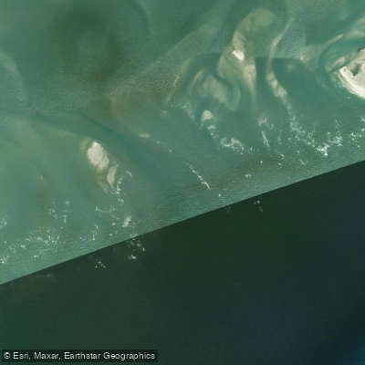
Hatteras Inlet
- Saltwater
- Inlet
- Sq. miles
- 0.8
- Boat Ramps
- 0
- Access Points
- 0
- Campsites
- 0
Hatteras Inlet is a dynamic and potentially hazardous coastal inlet located at the southern end of Hatteras Island, North Carolina, USA. It serves as a primary passage between the Atlantic Ocean and Pamlico Sound, connecting to the Ocracoke ferry route. The inlet is characterized by powerful and deep currents, which are rushing through waters up to 20 feet deep and can be impossible for paddlers to overcome, even on calm days. These conditions make the inlet itself a significant hazard, and paddlers are strongly advised to steer clear of the main channel. The area is exposed to open ocean conditions, with rip currents and rough water possible, especially on breezy days. Wind can create challenging conditions on the sound side as well. The inlet sees substantial boat traffic, including the Hatteras-Ocracoke ferry and charter fishing vessels heading to the Gulf Stream, requiring paddlers to maintain high visibility and caution, particularly near the ferry docks. For experienced paddlers seeking a major challenge, a direct crossing of the inlet is approximately two miles. The surrounding waters of Pamlico Sound and the Atlantic coastline offer expansive paddling routes, with the potential for multi-day trips along the Cape Hatteras National Seashore. The scenery includes views of Ocracoke Island, the open ocean, and the sound, with opportunities to see diverse birdlife from the Pea Island National Wildlife Refuge. Launching and accessing the area is possible from the vicinity of Hatteras Village, near the ferry docks. The water is saltwater, and paddlers must be self-sufficient, as specific facilities for paddlers are not detailed. The overall experience is one of exposure to powerful natural forces and requires careful planning regarding tides, wind, and marine traffic.
Water access, boat ramps & amenities
Learn how to get on Hatteras Inlet. Uncover great paddling access points, boat ramps, and all the facilities you need for an unforgettable day on the water. Some locations shown may border or include private property. Always check property boundaries and applicable regulations before visiting. PaddleWays's Public & Private Land layer can help you plan your access with confidence.
Paddle smarter with real-time insights
Whether you're en route and conditions shift or you're looking for the best spot based on current flows, we enable you to make informed decisions on the fly.








Find Places to Paddle

Over 400,000 Places to Paddle
Every user gets free access to launch points, boat ramps, and public property parcels.


Tides, wind & water conditions (10 day forecast)
On open water, wind and tide matter as much as the weather. See the best times to paddle Hatteras Inlet and check the marine forecast before you launch.
Loading tide predictions…
Paddling near Hatteras Inlet
Lake Mattamuskeet
Pamlico Sound
Raleigh Bay
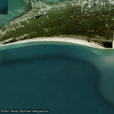
Hatteras Bight
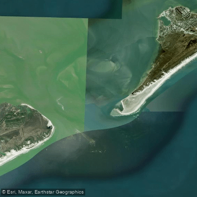
Ocracoke Inlet
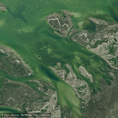
Daniel Swash
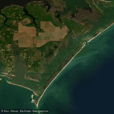
Core Sound
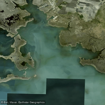
Swanquarter Bay
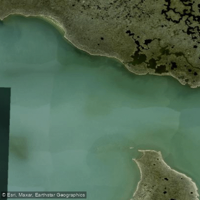
Great Island Narrows
Explore North Carolina waters
Top paddling waters
Popular Cities
Loading popular cities...
Explore near Hatteras Inlet

Smarter Paddling Starts in the App.
Paddleways gives you everything you need to plan smarter, paddle better, and own every trip from first launch to takeout.