Hatteras Bight
- Saltwater
- Sea area
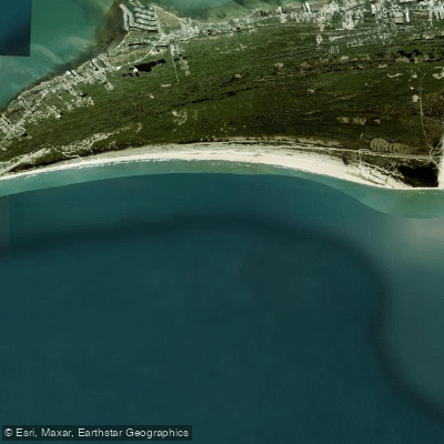
Hatteras Bight
- Saltwater
- Sea area
- Sq. miles
- 5.8
- Boat Ramps
- 0
- Access Points
- 0
- Campsites
- 2
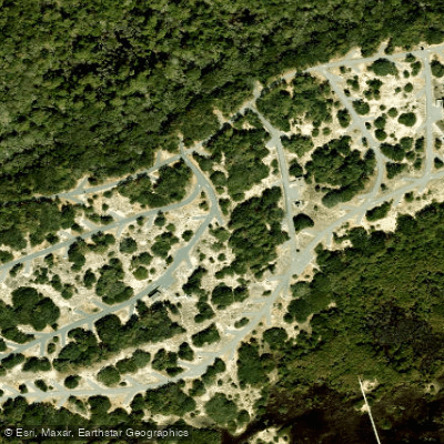
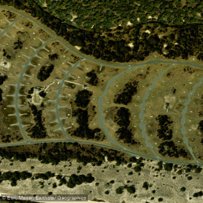
Hatteras Bight is a section of the Atlantic Ocean located just south of Cape Point on Hatteras Island, North Carolina. It is a south-facing coastal area where the Outer Banks curve westward, forming a bight that is partially protected by Cape Point itself. This geographical feature often results in calmer conditions within the bight compared to the ocean immediately to the north, with one description noting it can look like a lake while adjacent waters are churning. Paddlers should be aware this is open ocean with significant exposure to wind and swell. Conditions are highly dependent on wind direction; winds from the southeast or strong winds from any direction can make the area rough. The primary paddling experience involves navigating nearshore ocean waters, staying outside the surf zone, which can feature dumping waves and chaotic conditions, especially near the shoals off Cape Point. A significant hazard is the convergence of swells on these shoals, which can create waves breaking in multiple directions, a potential boat-eating washing machine. For launching, one common access point is near the Cape Hatteras campground, which has a public parking lot. From there, it is approximately a quarter-mile hike to the beach, manageable with a cart. An ORV permit provides more direct beach access. Paddlers must be cautious of surf fishermen and stay far enough offshore to avoid their lines. The beach is subject to closures for shorebird and turtle nesting, and dragging watercraft over dunes is prohibited; paddlers should use existing cut-throughs or wooden walkways. An alternative for a more protected route is to paddle the sound side via Hatteras Inlet, moving through Pamlico Sound. The area is known for circular currents within the bight and is historically noted as a harbor of refuge for shipping.
Water access, boat ramps & amenities
Learn how to get on Hatteras Bight. Uncover great paddling access points, boat ramps, and all the facilities you need for an unforgettable day on the water. Some locations shown may border or include private property. Always check property boundaries and applicable regulations before visiting. PaddleWays's Public & Private Land layer can help you plan your access with confidence.
Paddle smarter with real-time insights
Whether you're en route and conditions shift or you're looking for the best spot based on current flows, we enable you to make informed decisions on the fly.








Find Places to Paddle

Over 400,000 Places to Paddle
Every user gets free access to launch points, boat ramps, and public property parcels.


Tides, wind & water conditions (10 day forecast)
On open water, wind and tide matter as much as the weather. See the best times to paddle Hatteras Bight and check the marine forecast before you launch.
Loading tide predictions…
Paddling near Hatteras Bight
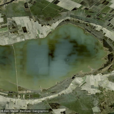
Lake Mattamuskeet
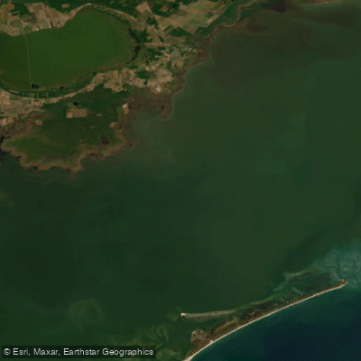
Pamlico Sound
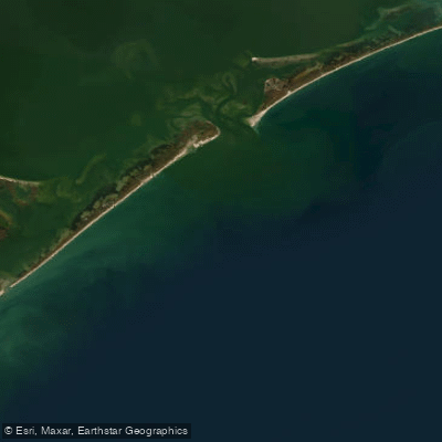
Raleigh Bay
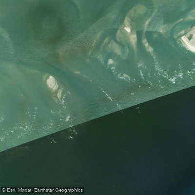
Hatteras Inlet
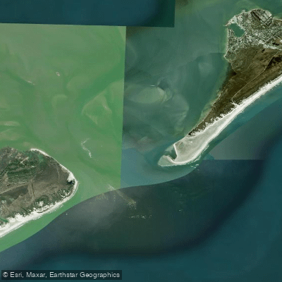
Ocracoke Inlet
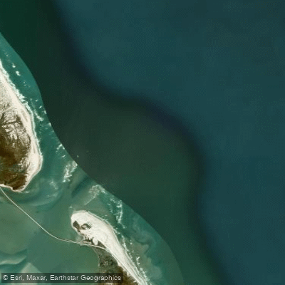
Oregon Inlet
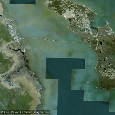
Croatan Sound
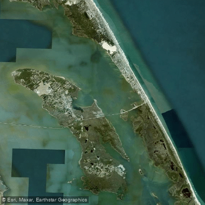
Roanoke Sound
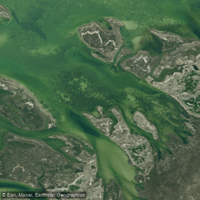
Daniel Swash
Explore North Carolina waters
Top paddling waters
Popular Cities
Loading popular cities...
Explore near Hatteras Bight

Smarter Paddling Starts in the App.
Paddleways gives you everything you need to plan smarter, paddle better, and own every trip from first launch to takeout.