Lake Mattamuskeet
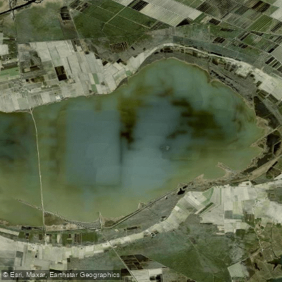
Lake Mattamuskeet
- Boat Ramps
- 0
- Access Points
- 0
- Campsites
- 0
Lake Mattamuskeet, North Carolina's largest natural lake, offers a unique paddling experience in a shallow, expansive wetland environment. Located in Hyde County, the lake spans approximately 18 miles long by 7 miles wide, covering about 40,000 acres. Despite its size, Lake Mattamuskeet averages only 2-3 feet in depth, creating ideal conditions for aquatic plant growth and wildlife viewing.
Paddling is permitted on the lake and adjacent canals from March 1 through November 1 each year. The shallow waters make it an excellent destination for kayaking and canoeing, allowing paddlers to explore the lake's vast expanse and diverse ecosystems. Visitors should be aware that some areas may be closed during certain times of the year to protect nesting wildlife.
Wildlife enthusiasts will find Lake Mattamuskeet particularly rewarding. The lake serves as a critical stopover on the Atlantic Flyway, hosting tens of thousands of migratory birds each winter. From November through February, paddlers can observe large concentrations of tundra swans, Canada geese, and various duck species. The lake is also home to endangered bald eagles.
Anglers can enjoy fishing for largemouth bass, striped bass, catfish, crappie, and other species. Blue crab fishing is also popular. The lake's shallow nature and abundant aquatic vegetation contribute to a thriving fish population.
Access to the lake is available via the Mattamuskeet National Wildlife Refuge. The refuge offers wildlife-dependent recreational opportunities, including walking and biking trails that provide additional ways to explore the area. Paddlers should check with the refuge office for current regulations and access points.
While Lake Mattamuskeet offers a serene paddling environment, visitors should be prepared for potential weather changes and be aware of the lake's large size when planning trips. The best times to visit are during the spring and fall migrations, though summer can offer pleasant paddling conditions as well.
Water access, boat ramps & amenities
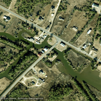
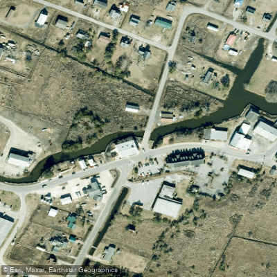
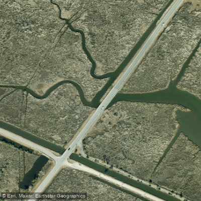
Learn how to get on Lake Mattamuskeet. Uncover great paddling access points, boat ramps, and all the facilities you need for an unforgettable day on the water. Some locations shown may border or include private property. Always check property boundaries and applicable regulations before visiting. PaddleWays's Public & Private Land layer can help you plan your access with confidence.
Paddle smarter with real-time insights
Whether you're en route and conditions shift or you're looking for the best spot based on current flows, we enable you to make informed decisions on the fly.








Find Places to Paddle

Over 400,000 Places to Paddle
Every user gets free access to launch points, boat ramps, and public property parcels.


Water and weather conditions (10 day forecast)
See the best times to paddle Lake Mattamuskeet and check the forecast before you go.
LAKE MATTAMUSKEET E OF NC HWY 94 NR FAIRFIELD, NC
Paddling near Lake Mattamuskeet

Neuse River
Pamlico Sound
Phelps Lake
T G Slimes Pond Number One
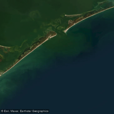
Raleigh Bay
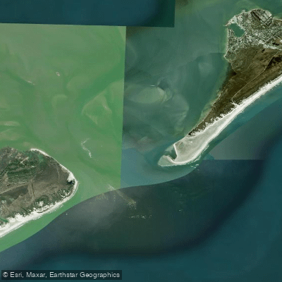
Ocracoke Inlet
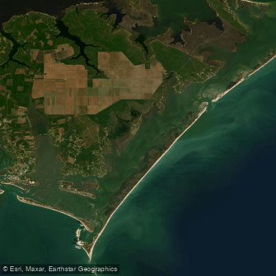
Core Sound
Hatteras Inlet
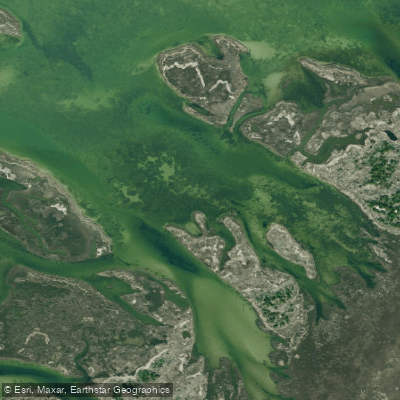
Daniel Swash
Explore North Carolina waters
Top paddling waters
Popular Cities
Loading popular cities...
Explore near Lake Mattamuskeet
Access points
Nearby waters
More in North Carolina

Smarter Paddling Starts in the App.
Paddleways gives you everything you need to plan smarter, paddle better, and own every trip from first launch to takeout.