Curated by PaddleWays
RouteFlatwater
- Distance
- 4.5 mi
- Paddle time
- ~1.5 hrs
- Put-in → take-out
- Route 50 Bridge Access → Old Maple Hill Highway Access
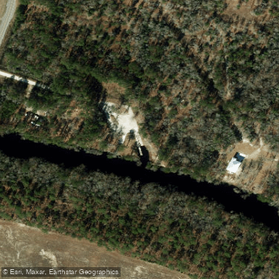
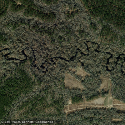
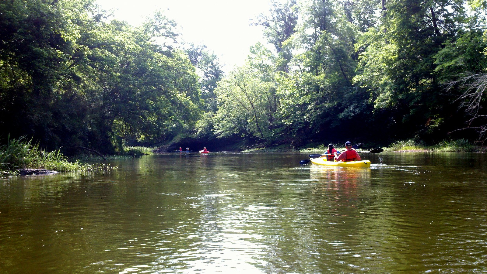
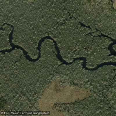
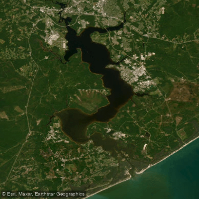
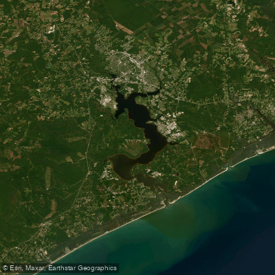
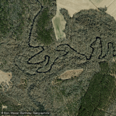
Holly Shelter Creek is a scenic blackwater stream located in southeastern North Carolina, primarily in Pender County. It originates in the Holly Shelter Game Land and flows generally southeast for approximately 20-25 miles before joining the Northeast Cape Fear River. The creek offers excellent flatwater paddling opportunities through a pristine coastal plain ecosystem. Several sections are popular for day trips, including the stretch from Old Maple Hill Highway to Shaken Creek (5-7 miles) and from Shaken Creek to Shaw Highway (8-10 miles). The entire creek can be paddled in 2-3 days for a multi-day adventure.
Holly Shelter Creek maintains consistent water levels year-round, making it a reliable paddling destination even when other area rivers are low. The creek is best paddled from late fall through spring when temperatures are mild and insects are less prevalent. Summer paddling is possible but can be hot and buggy.
The creek corridor supports a rich diversity of flora and fauna. Paddlers will find themselves immersed in a forest of bald cypress, various oak species, river ash, and black gum. The namesake holly trees are also abundant. Wildlife sightings may include a variety of wading birds, waterfowl, and turtles. The area is known for its large beaver population, and attentive paddlers may spot their lodges and dams.
Key access points include the put-in at Old Maple Hill Highway bridge, the midpoint access at Shaken Creek, and the take-out at Shaw Highway bridge. The creek also passes behind Holland's Shelter Creek Restaurant off Highway 53, which serves as a convenient access point and local landmark. The nearest towns are Burgaw and Holly Ridge.
Holly Shelter Creek is entirely flatwater, making it suitable for novice paddlers and families. However, the narrow, winding nature of the creek and occasional deadfall obstacles require basic maneuvering skills. There is a slight tidal influence near the confluence with the Northeast Cape Fear River, but this doesn't significantly impact paddling conditions upstream.
Paddlers should be aware that the creek passes through remote areas with limited cell phone coverage. Proper safety equipment, including life jackets, is essential. Camping is possible on sandbars, but paddlers should practice Leave No Trace principles and be aware of private property boundaries.
Holly Shelter Creek offers a peaceful journey through one of coastal North Carolina's most pristine blackwater ecosystems, providing paddlers with an intimate experience of the region's natural beauty and biodiversity.
Curated routes
Hand-picked by the PaddleWays team, with put-ins, take-outs, paddle times and the hazards along the way.
RouteFlatwater
RouteFlatwater
RouteFlatwater
Hazards
No hazards are marked on Holly Shelter Creek yet. That is not the same as none being there: if you find one, report it for the next paddler.
From the community
Nobody has shared a trip on Holly Shelter Creek yet. Paddle it, then tell the next paddler how it went.
See exactly where the public can get on and off the river. Launch points and boat ramps are paired with PaddleWays' public land data so you know where you can legally land.
Public shoreline
29%of the river's shoreline is public
Most of the riverbank is private. Launch, land and camp only at public access points.
Flows, weather and a route-by-route verdict, so you know which stretch of the Holly Shelter Creek is worth paddling today.
No forecast data available.
Live flows, marked hazards and fresh trip reports from paddlers who were just on the water, all in one place.





Every user gets free access to launch points, boat ramps, and public property parcels.
Loading popular cities...
PaddleWays gives you everything you need to plan smarter, paddle better, and own every trip from first launch to takeout.