Phelps Lake
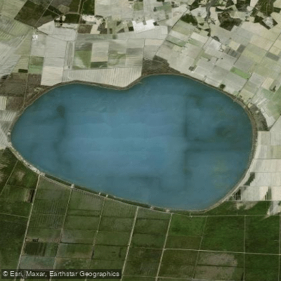
Phelps Lake
- Boat Ramps
- 0
- Access Points
- 0
- Campsites
- 1
Lake Phelps, located in eastern North Carolina, is the second largest natural lake in the state, covering 16,600 acres. Part of Pettigrew State Park, the lake offers a unique paddling experience rich in natural beauty and historical significance.
The lake's shallow depth and expansive size create a distinctive paddling environment. Cypress trees with cavernous archways line portions of the shoreline, providing scenic vistas and habitat for diverse wildlife. Paddlers may spot wintering tundra swans and other waterfowl.
Lake Phelps holds remarkable archaeological importance. Thirty dugout canoes, some dating back 4,400 years, have been discovered in the lake, with the longest measuring 36 feet. These artifacts, created by Carolina Algonquin people, offer a glimpse into the area's Indigenous history.
Pettigrew State Park provides access to the lake. The park is open year-round except for Christmas Day, allowing for paddling across seasons. However, paddlers should note that the swim pier is currently closed for repairs.
While the lake offers recreational opportunities, there are important considerations for paddlers. As a wildlife preserve, it is prohibited to hunt, trap, or harm animals. Camping is restricted to designated areas and requires permits.
The park does not charge fees for day use access, but fees apply for camping and certain events. Paddlers can take advantage of regularly scheduled interpretive programs led by park staff to learn more about the lake's ecology and history.
Paddlers should check with park officials for current conditions and any specific regulations related to paddling on Lake Phelps.
Water access, boat ramps & amenities
Learn how to get on Phelps Lake. Uncover great paddling access points, boat ramps, and all the facilities you need for an unforgettable day on the water. Some locations shown may border or include private property. Always check property boundaries and applicable regulations before visiting. PaddleWays's Public & Private Land layer can help you plan your access with confidence.
Paddle smarter with real-time insights
Whether you're en route and conditions shift or you're looking for the best spot based on current flows, we enable you to make informed decisions on the fly.








Find Places to Paddle

Over 400,000 Places to Paddle
Every user gets free access to launch points, boat ramps, and public property parcels.


Water and weather conditions (10 day forecast)
See the best times to paddle Phelps Lake and check the forecast before you go.
No forecast data available.
Paddling near Phelps Lake

Neuse River
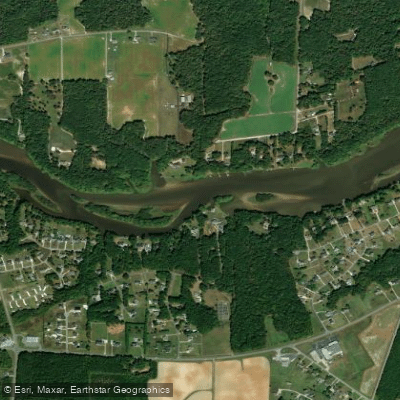
Tar River
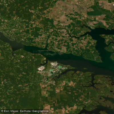
Pamlico River
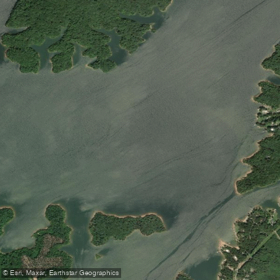
Roanoke River
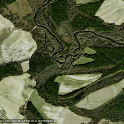
Contentnea Creek
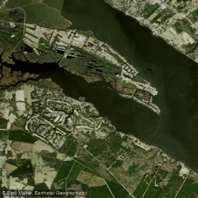
Chocowinity Bay
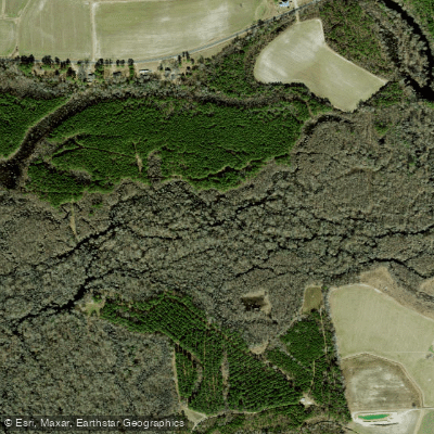
Tranters Creek
Trent River
Blounts Bay
Northeast Cape Fear River
Explore North Carolina waters
Top paddling waters
Popular Cities
Loading popular cities...
Explore near Phelps Lake
Access points
Nearby waters
More in North Carolina

Smarter Paddling Starts in the App.
Paddleways gives you everything you need to plan smarter, paddle better, and own every trip from first launch to takeout.