Lookout Bight
- Saltwater
- Sea area
Lookout Bight
- Saltwater
- Sea area
- Sq. miles
- 1.7
- Boat Ramps
- 0
- Access Points
- 0
- Campsites
- 1
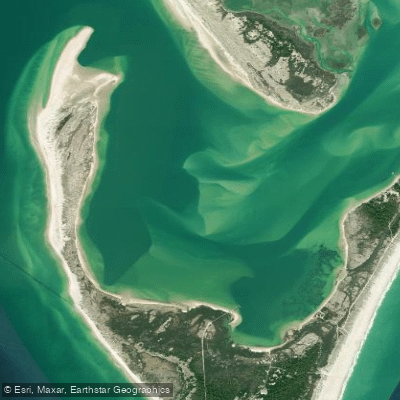
Lookout Bight, also called Cape Lookout Bight, is a large, sheltered saltwater bay on the sound side of Cape Lookout within Cape Lookout National Seashore in North Carolina. It is formed by the protective hook of the cape, creating a calm anchorage distinct from the open Atlantic. The primary access for paddlers is from the mainland via Harkers Island, with a common launch point at Calico Jack's or the public boat access in Beaufort. The crossing to the bight involves navigating through Barden Inlet, a dynamic area with significant tidal currents. Paddlers must carefully plan for tides, as the current flows hardest during the "rage tide," specifically the third and fourth hours of tide flow when half the total water volume passes through the inlets. This can turn flat water into whitecaps, drastically increasing difficulty. The recommended strategy is to depart the mainland at high tide to go out with the tide and return as the low tide rises. Tidal predictions for the bight itself are distinct from the ocean side and should be checked using the "Cape Lookout Bight" station on NOAA or Salt Water Tides. The bight is exposed to wind, and conditions on the surrounding sounds can become choppy and dangerous with northeast winds above 10 knots. The area is remote, with no road access, and paddlers should be self-sufficient, carrying a marine radio and filing a float plan. The bight provides access to the iconic Cape Lookout Lighthouse and the undeveloped beaches of the national seashore, which are known for seashells and occasional dolphin sightings. Camping is permitted on the beaches. The water is clear and bright, with the inside of the bight being notably calm and protected compared to the open coast and shoals outside, which are for experienced paddlers only due to breaking waves. There is significant power boat and sailing traffic in the area, particularly in the channels and the bight itself, which serves as a popular anchorage.
Water access, boat ramps & amenities
Learn how to get on Lookout Bight. Uncover great paddling access points, boat ramps, and all the facilities you need for an unforgettable day on the water. Some locations shown may border or include private property. Always check property boundaries and applicable regulations before visiting. PaddleWays's Public & Private Land layer can help you plan your access with confidence.
Paddle smarter with real-time insights
Whether you're en route and conditions shift or you're looking for the best spot based on current flows, we enable you to make informed decisions on the fly.








Find Places to Paddle

Over 400,000 Places to Paddle
Every user gets free access to launch points, boat ramps, and public property parcels.


Tides, wind & water conditions (10 day forecast)
On open water, wind and tide matter as much as the weather. See the best times to paddle Lookout Bight and check the marine forecast before you launch.
Loading tide predictions…
Paddling near Lookout Bight

Neuse River
White Oak River
Core Sound
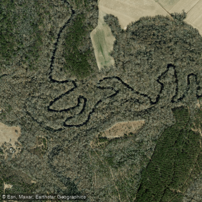
Trent River
Goodwin Creek
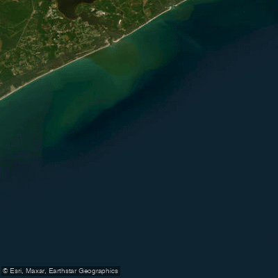
Onslow Bay
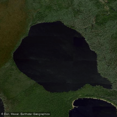
Long Lake
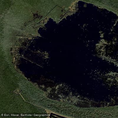
Lake Ellis Simon
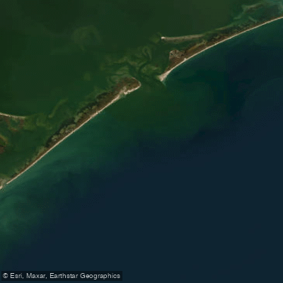
Raleigh Bay
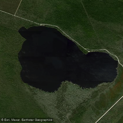
Catfish Lake
Explore North Carolina waters
Top paddling waters
Popular Cities
Loading popular cities...
Explore near Lookout Bight

Smarter Paddling Starts in the App.
Paddleways gives you everything you need to plan smarter, paddle better, and own every trip from first launch to takeout.