Curated by PaddleWays
RouteClass IV
- Distance
- 5.2 mi
- Paddle time
- ~1.5 hrs
- Best for
- Experienced paddlers
- Put-in → take-out
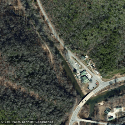
- North Fork of the French Broad Put-in → NFFB Take-out
Class IV rapids with one big drop
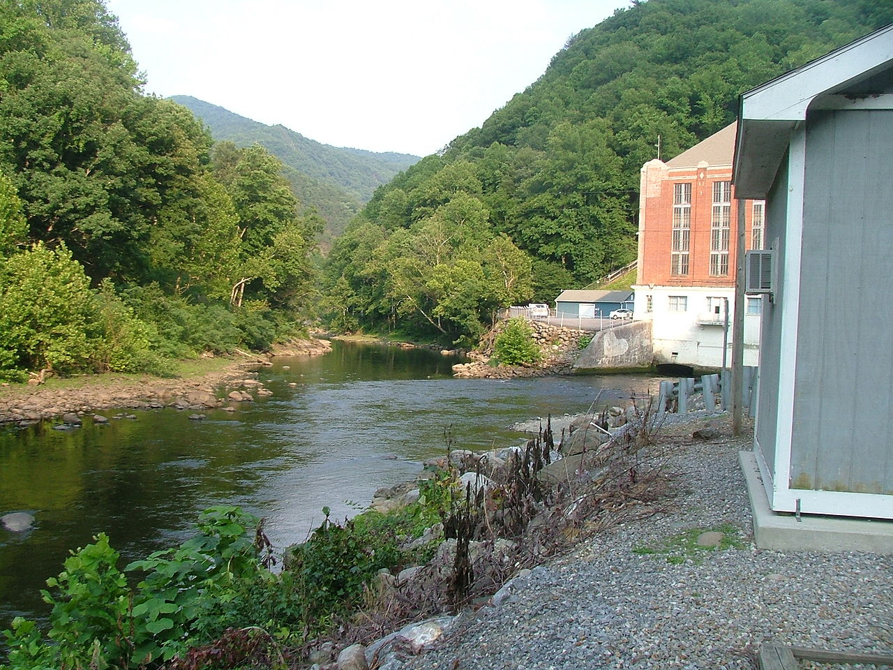
The North Fork French Broad River is a waterway in western North Carolina, originating in the Pisgah National Forest near Balsam Grove. It flows northward, joining the West Fork to form the main stem of the French Broad River near Rosman. This tributary is part of the larger French Broad watershed, which ultimately drains into the Tennessee River system.
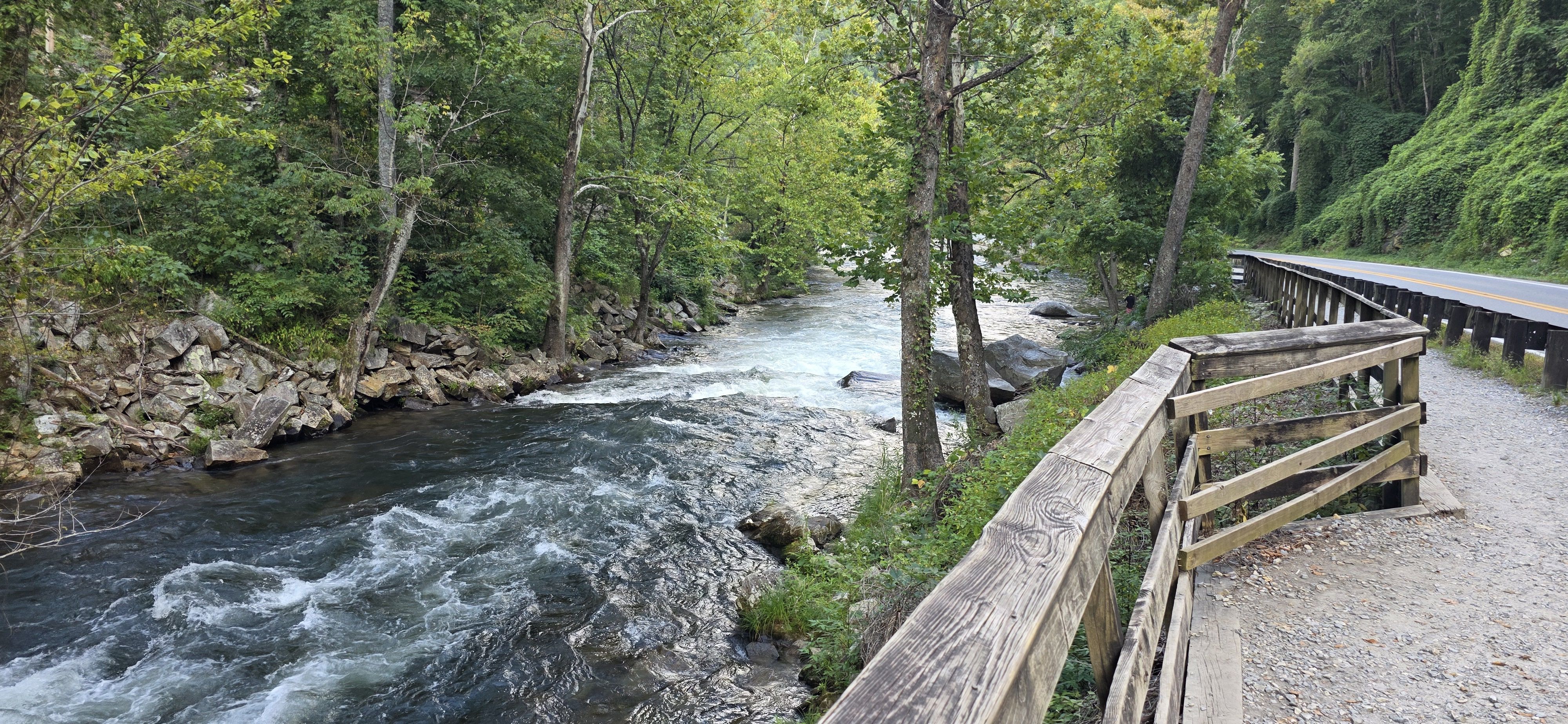
Paddling opportunities on the North Fork range from challenging whitewater in its upper reaches to more relaxed flatwater sections downstream. The upper section, known for its Class III-IV rapids, is popular among intermediate to advanced kayakers. This 5-mile stretch from Route 1326 Bridge to US Route 64 Bridge offers exciting features and beautiful mountain scenery. A shorter 2.4-mile section with similar difficulty is favored by many local paddlers. As the river approaches its confluence with the West Fork, it transitions to Class II waters, providing excellent opportunities for novice paddlers and families.
Outfitters in Rosman offer guided and self-guided trips on these gentler sections, including the popular 8-mile Hannah Ford trip and the 10-mile Island Ford trip. The North Fork is best paddled in spring and early summer when water levels are optimal, typically around 1 foot on the gauge. The surrounding forests showcase the rich biodiversity of the southern Appalachians, with a mix of hardwoods and evergreens lining the banks.
Key access points include the put-ins near Balsam Grove for the whitewater sections, and Headwaters Outfitters in Rosman for the lower sections. The river passes through mostly rural areas, with Rosman being the nearest town of note. Historically, the North Fork and the broader French Broad system have been vital to the region's development. Today, the river supports a thriving outdoor recreation industry while also serving as an important resource for local communities.
Safety considerations include being prepared for rapid difficulty changes in the upper sections and watching for potential strainers. Paddlers should always check current water levels and weather conditions before embarking. For those seeking a multi-day adventure, the North Fork can be combined with trips on the main French Broad River, which offers numerous camping options along its paddle trail. This allows for extended journeys through the scenic landscapes of western North Carolina.
Curated routes
Hand-picked by the PaddleWays team, with put-ins, take-outs, paddle times and the hazards along the way.
RouteClass IV
Hazards
No paddler has reported a hazard here yet, so these are the dams, falls and big rapids on our map. Hazards change with flows and storms, so check them before you launch.
Rapid · Class V
Class V- Submarine has changed a number of times in recent years, sometimes becoming very dangerous, but as of this writing it is reasonable and not nearly as sketchy as it has…
From the community
Nobody has shared a trip on North Fork French Broad River yet. Paddle it, then tell the next paddler how it went.
Garrett F. •
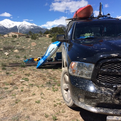
Great section when it’s clean! Always check for wood. Little bit of a hike in from the road but not too bad
See exactly where the public can get on and off the river. Launch points and boat ramps are paired with PaddleWays' public land data so you know where you can legally land.
Public shoreline
65%of the river's shoreline is public
Flows, weather and a route-by-route verdict, so you know which stretch of the North Fork French Broad River is worth paddling today.
No forecast data available.
Live flows, marked hazards and fresh trip reports from paddlers who were just on the water, all in one place.





Every user gets free access to launch points, boat ramps, and public property parcels.
Loading popular cities...
PaddleWays gives you everything you need to plan smarter, paddle better, and own every trip from first launch to takeout.