Curated by PaddleWays
RouteClass I–II
- Distance
- 26.1 mi
- Paddle time
- 8–10 hrs
- Put-in → take-out
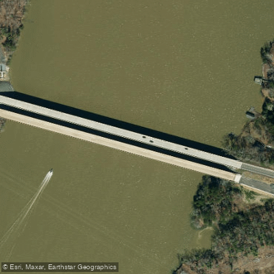
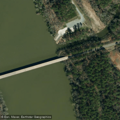
- Morrow Mountain Boat Ramp → Red Hill Boat Ramp
The Pee Dee River, also known as the Great Pee Dee River, is a significant waterway that flows through North and South Carolina, offering a diverse paddling experience from its headwaters in the Appalachian Mountains to its mouth at Winyah Bay. The river begins as the Yadkin River in North Carolina, changing its name to the Pee Dee at its confluence with the Uwharrie River.
Paddlers can enjoy a variety of experiences along the Pee Dee's course. In North Carolina, the Yadkin River State Trail offers 163 miles of paddling from the Kerr Scott Reservoir Dam to Lake Tillery. This section features scenic routes through the state's landscape, including fish weirs built by native people, riffles, and small Class I-II rapids, making it suitable for beginner to intermediate paddlers.
As the river enters South Carolina, it transforms into a large, wild waterway that winds through various landscapes including the Piedmont, Sandhills, Coastal Plain, and Coastal Zone. The South Carolina Pee Dee Scenic River section spans 70 miles from the US Highway 378 Bridge to Winyah Bay, offering flatwater to Class I paddling through mostly undeveloped stretches.
The river system includes several notable tributaries that provide additional paddling opportunities. The Rocky River Blueway, starting near Charlotte, offers 49 miles of flatwater paddling before joining the Pee Dee. The Little Pee Dee River and Lynches River are also popular paddling destinations, each designated as State Scenic Rivers and offering their own unique experiences through blackwater ecosystems and diverse landscapes.
The best time to paddle the Pee Dee River system is typically from late spring to early fall, though water levels can vary seasonally. Paddlers should always check current conditions, as summer storms can quickly change river characteristics, especially in the upper sections.
Wildlife enthusiasts will appreciate the rich biodiversity along the river. The free-flowing sections in South Carolina are important habitats for resident and migratory fish species. Paddlers may spot various bird species, turtles, and occasionally alligators in the lower sections.
Historical significance is evident throughout the river's course. Native Americans depended on the river for over 10,000 years, and it played a crucial role in trade and transportation during colonial times. The name "Pee Dee" comes from the Native American tribe that once inhabited the region.
For those planning multi-day trips, the Pee Dee River system offers numerous options. Paddlers can combine sections of the main stem with its tributaries, such as linking the Rocky River Blueway with the Pee Dee for extended journeys. The Lynches River Scenic Section alone spans 111 miles, providing opportunities for longer expeditions.
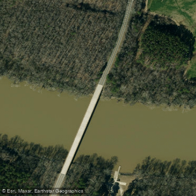
Access points are plentiful along the river, with many well-maintained launches in both states. Notable access areas include the Old US 421 River Park in North Carolina and various landings along the South Carolina Scenic River section.
Safety considerations include being prepared for changing weather conditions, especially in the upper sections where rapids are more common. In the lower, wider sections, wind can create challenging conditions for paddlers. Always wear a life jacket and be aware of potential strainers and submerged obstacles.
Whether you're seeking a short day trip or an extended wilderness experience, the Pee Dee River system offers a paddling adventure to suit all skill levels, showcasing the natural beauty and rich history of the Carolinas.
Curated routes
Hand-picked by the PaddleWays team, with put-ins, take-outs, paddle times and the hazards along the way.
RouteClass I–II
Hazards
No paddler has reported a hazard here yet, so these are the dams, falls and big rapids on our map. Hazards change with flows and storms, so check them before you launch.
From the community
Nobody has shared a trip on Pee Dee River yet. Paddle it, then tell the next paddler how it went.
See exactly where the public can get on and off the river. Launch points and boat ramps are paired with PaddleWays' public land data so you know where you can legally land.
Public shoreline
1%of the river's shoreline is public
Most of the riverbank is private. Launch, land and camp only at public access points.
Flows, weather and a route-by-route verdict, so you know which stretch of the Pee Dee River is worth paddling today.
All Flow Stations
Scheduled releases and generation forecasts from the dams on Pee Dee River.
Pee Dee River · Below Tillery Dam · Duke Energy
Releasing now until 9:00 PM EST
Schedules can change, so check the operator's page before you go.
Live flows, marked hazards and fresh trip reports from paddlers who were just on the water, all in one place.





Every user gets free access to launch points, boat ramps, and public property parcels.
Loading popular cities...
PaddleWays gives you everything you need to plan smarter, paddle better, and own every trip from first launch to takeout.