Rocky River
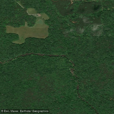
Rocky River
- Boat Ramps
- 0
- Access Points
- 4
- Campsites
- 2
Rocky River originates in the northwest corner of Chatham County, North Carolina, flowing southward for approximately 29 miles before joining the Deep River at White Pines Nature Preserve. This tributary of the Deep River system carves through the North Carolina Piedmont, creating a distinctive creek-like character with technical rapids, rock gardens, and scenic bluffs that distinguish it from the region's broader waterways.
The river supports advanced whitewater paddling opportunities across several distinct sections. The Upper Rocky runs from Carolina Hill Road to the NC 902 Bridge, offering Class III-IV rapids depending on water levels, with difficulty escalating to Class IV when the gauge exceeds 2 feet. The Middle Rocky section extends from NC 902 Bridge to Chatham Church Road, while the Lower Rocky—from Chatham Church Road to White Pines Nature Preserve—presents Class II-III whitewater suitable for intermediate paddlers. An additional downstream section continues from White Pines to the Old US 1 Bridge. All sections require advanced paddling experience due to swift currents, technical maneuvering, and the potential for strainers.
Water levels prove critical and challenging to predict. The river typically flows only during high rain events, creating brief windows of paddleability. Paddlers should check the Highway 64 USGS gauge, with minimum levels around 200 cfs at Siler City recommended for most sections. The paddling gauge at NC 902 Bridge provides more direct readings—20 inches below zero represents minimum flow for the Upper section, while 22 inches below zero marks the threshold for the Middle section.
The Rocky River corridor supports rich biodiversity within its floodplain forest habitat. Towering hardwoods including oaks and maples dominate the canopy, while the river itself hosts largemouth bass, catfish, and sunfish. Birdwatchers may spot red-tailed hawks, great blue herons, and over 50 nesting species including prothonotary warblers and pileated woodpeckers. The clear waters nurture aquatic vegetation including water lilies and watermilfoil. The endangered Cape Fear shiner, a small minnow species, inhabits the river at its confluence with the Deep River.
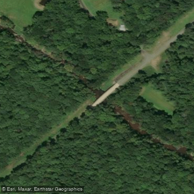
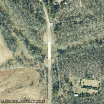
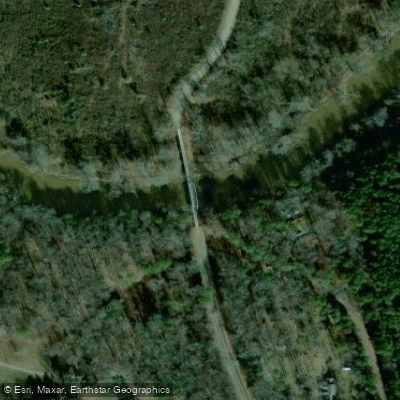
Access remains limited throughout the watershed. White Pines Nature Preserve near Siler City provides the primary public access with parking and trail access to the river. Other put-ins at Carolina Hill Road, NC 902 Bridge, and Chatham Church Road require roadside parking.
The river historically served Native American tribes including the Sissipahaw and Occaneechi, later supporting European settlement through waterwheel-powered mills.
Paddlers must exercise extreme caution regarding debris, as fallen trees commonly obstruct the narrow channel. The river's flashy nature means conditions change rapidly, and rescue would prove difficult in remote sections. Public access limitations require careful trip planning and respect for private property boundaries.
Water access, boat ramps & amenities
Learn how to get on Rocky River. Uncover great paddling access points, boat ramps, and all the facilities you need for an unforgettable day on the water. Some locations shown may border or include private property. Always check property boundaries and applicable regulations before visiting. PaddleWays's Public & Private Land layer can help you plan your access with confidence.
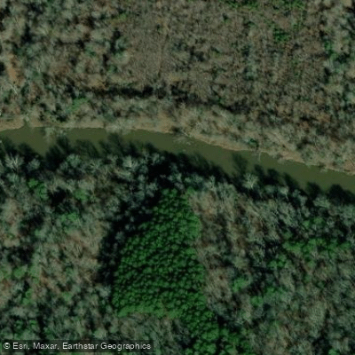
Paddle smarter with real-time insights
Whether you're en route and conditions shift or you're looking for the best spot based on current flows, we enable you to make informed decisions on the fly.








Find Places to Paddle

Over 400,000 Places to Paddle
Every user gets free access to launch points, boat ramps, and public property parcels.


Water and weather conditions (10 day forecast)
See the best times to paddle Rocky River and check the forecast before you go.
ROCKY R AT SR1300 NR CRUTCHFIELD CROSSROADS, NC
All Flow Stations
Paddling near Rocky River
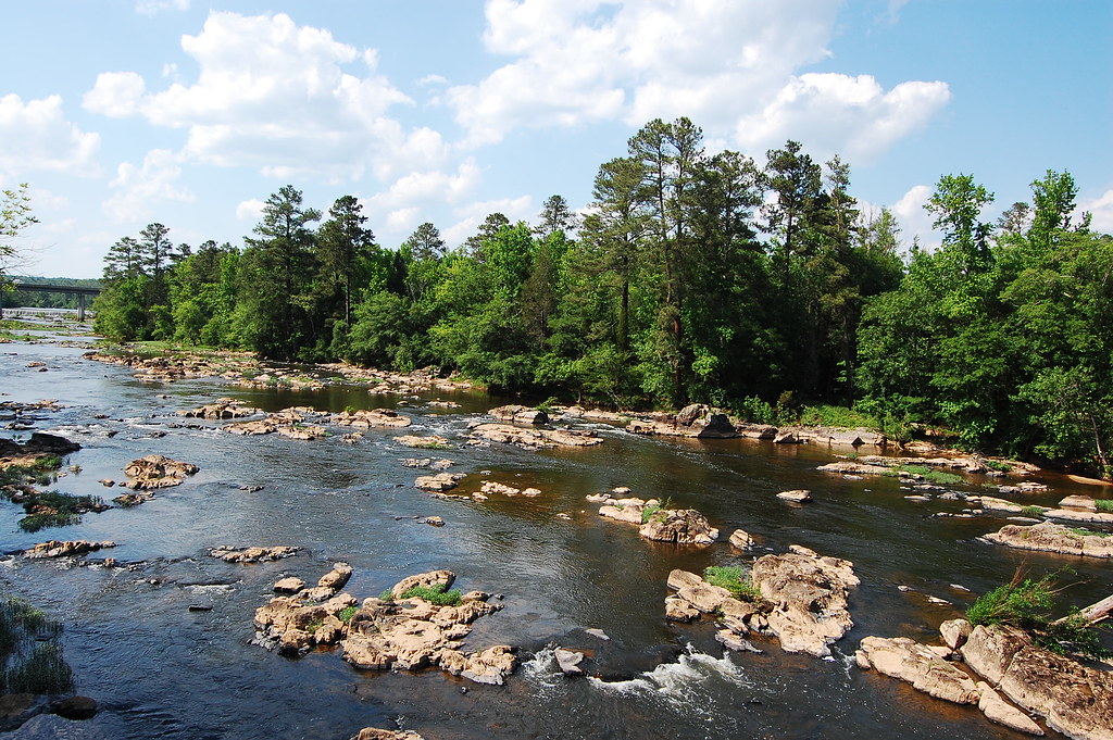
Haw River
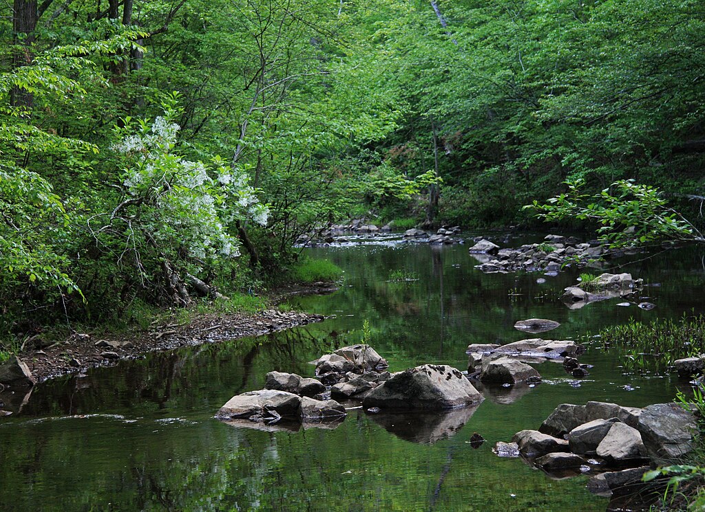
New Hope Creek

Neuse River
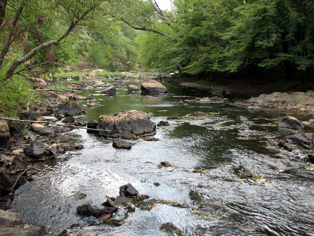
Eno River
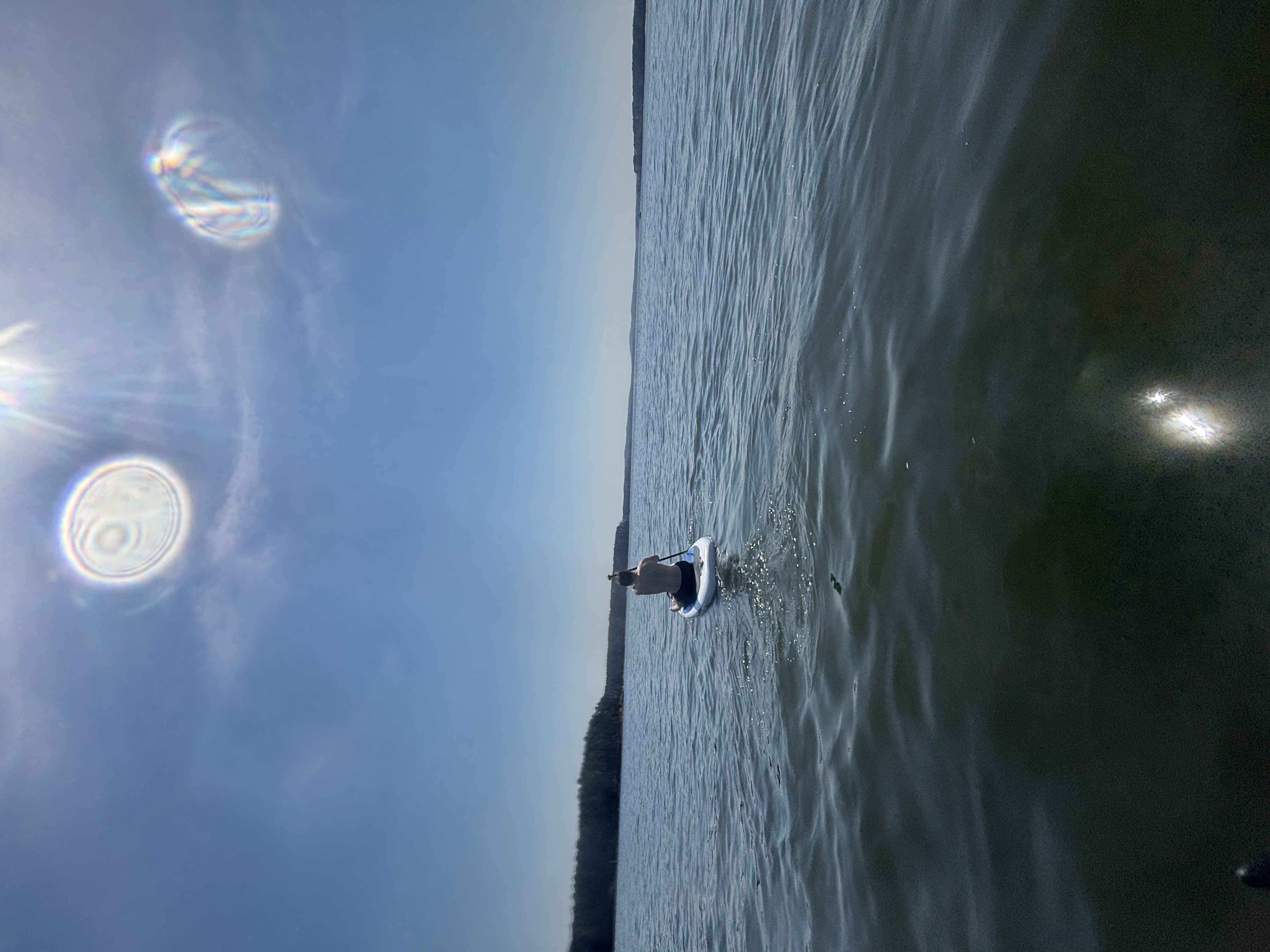
B Everett Jordan Lake
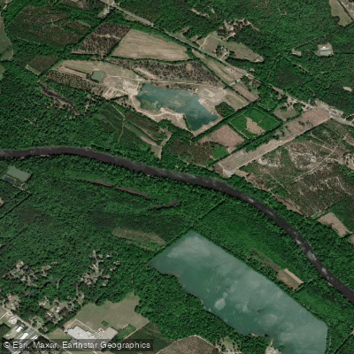
Cape Fear River
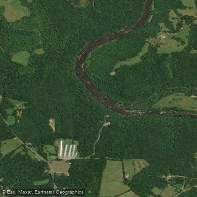
Deep River
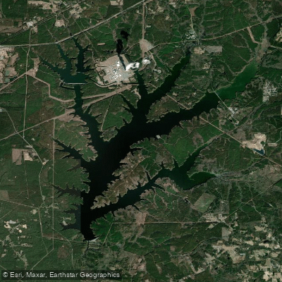
Shearon Harris Reservoir
Lumber River
Explore North Carolina waters
Top paddling waters
Popular Cities
Loading popular cities...
Explore near Rocky River
Access points
Nearby waters
More in North Carolina

Smarter Paddling Starts in the App.
Paddleways gives you everything you need to plan smarter, paddle better, and own every trip from first launch to takeout.