Clear Fork Reservoir Access
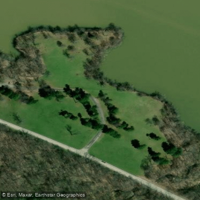
Clear Fork Reservoir Access
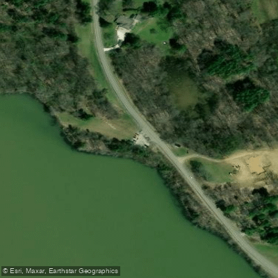
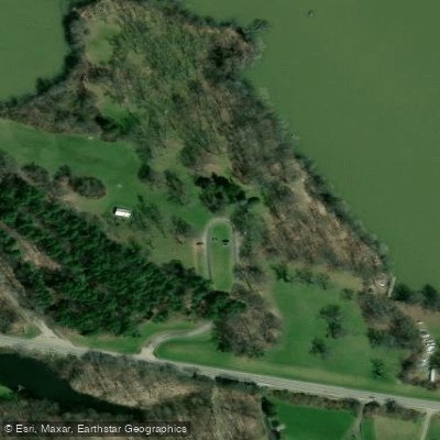
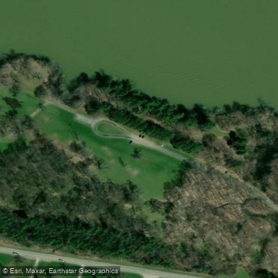
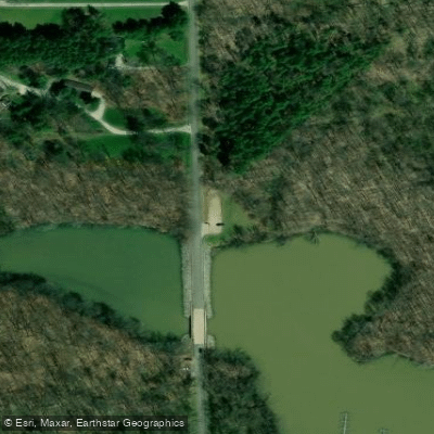
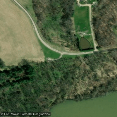
Clear Fork Reservoir offers a public boat ramp and marina on the south side near Bowers Road with no launch fee, plus three picnic areas along the shoreline.
An 8 mph speed limit is enforced, and shore fishing is permitted along the south and west shorelines from Orweiler Road bridge to 1000 feet upstream of the dam.
The reservoir spans 1,033 acres with a maximum depth of 24 feet, making it suitable for both boating and fishing activities.
Nearby points of interest
Find excellent paddling spots, easy access to boat ramps, and all the amenities you need for a memorable day. Your adventure starts here.
Water and weather conditions (10 day forecast)
Check the forecast at Clear Fork Reservoir Access before you go paddling.
No forecast data available.
Paddling near Clear Fork Reservoir Access
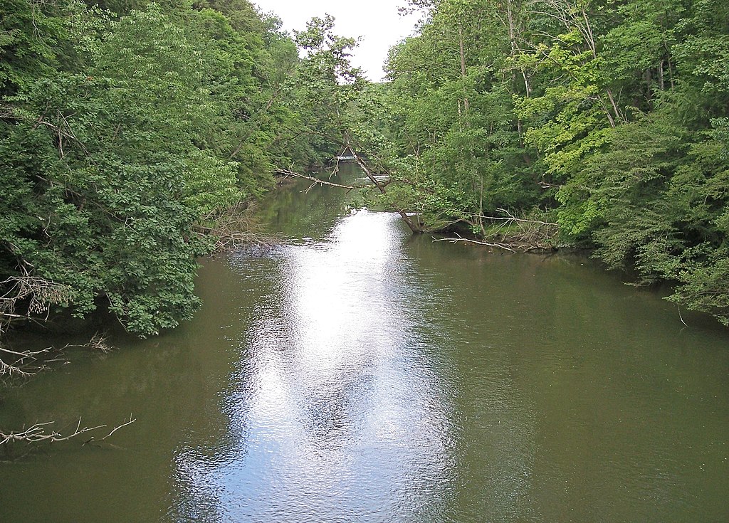
Clear Fork Mohican River
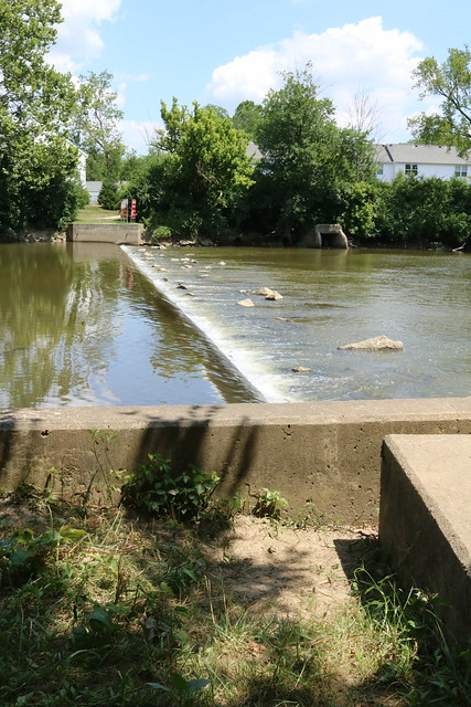
Olentangy River
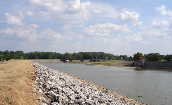
Sandusky River
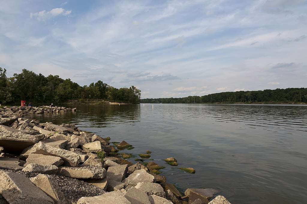
Delaware Lake
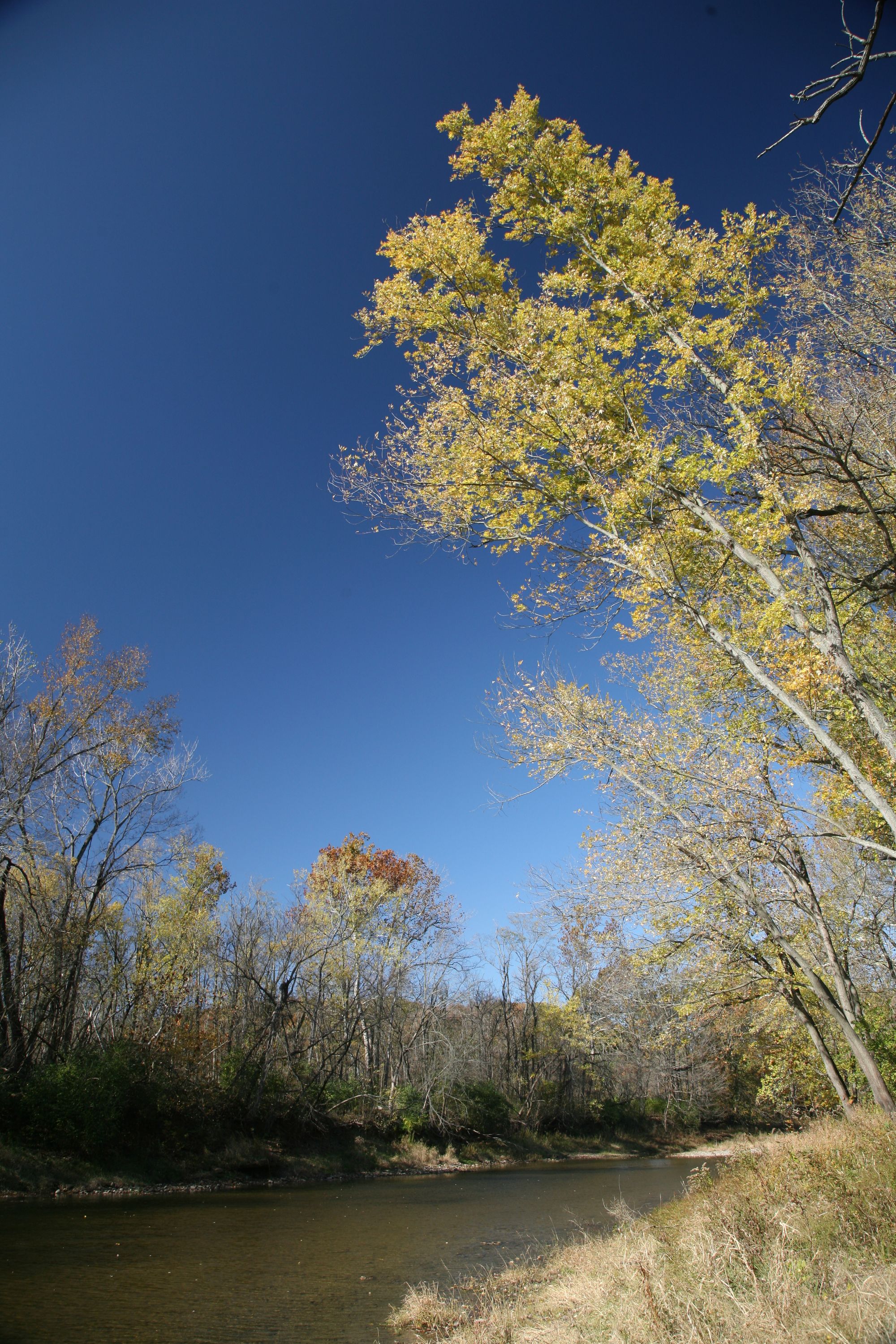
Vermilion River

Lake Erie
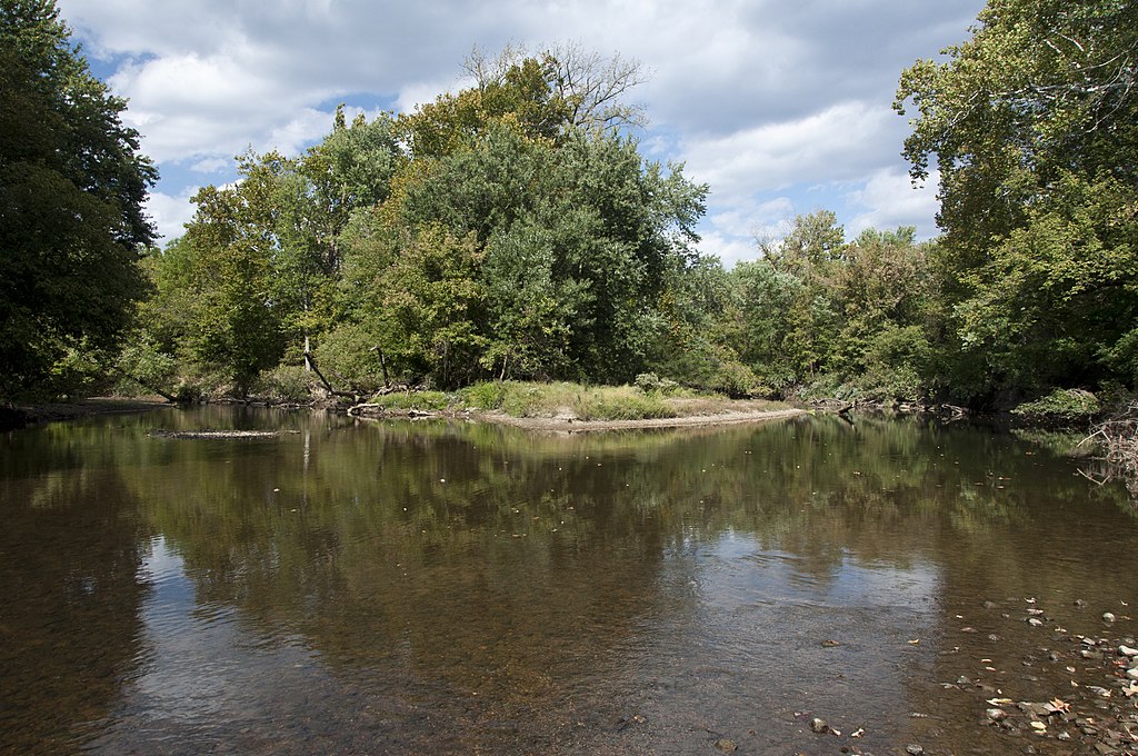
Big Walnut Creek
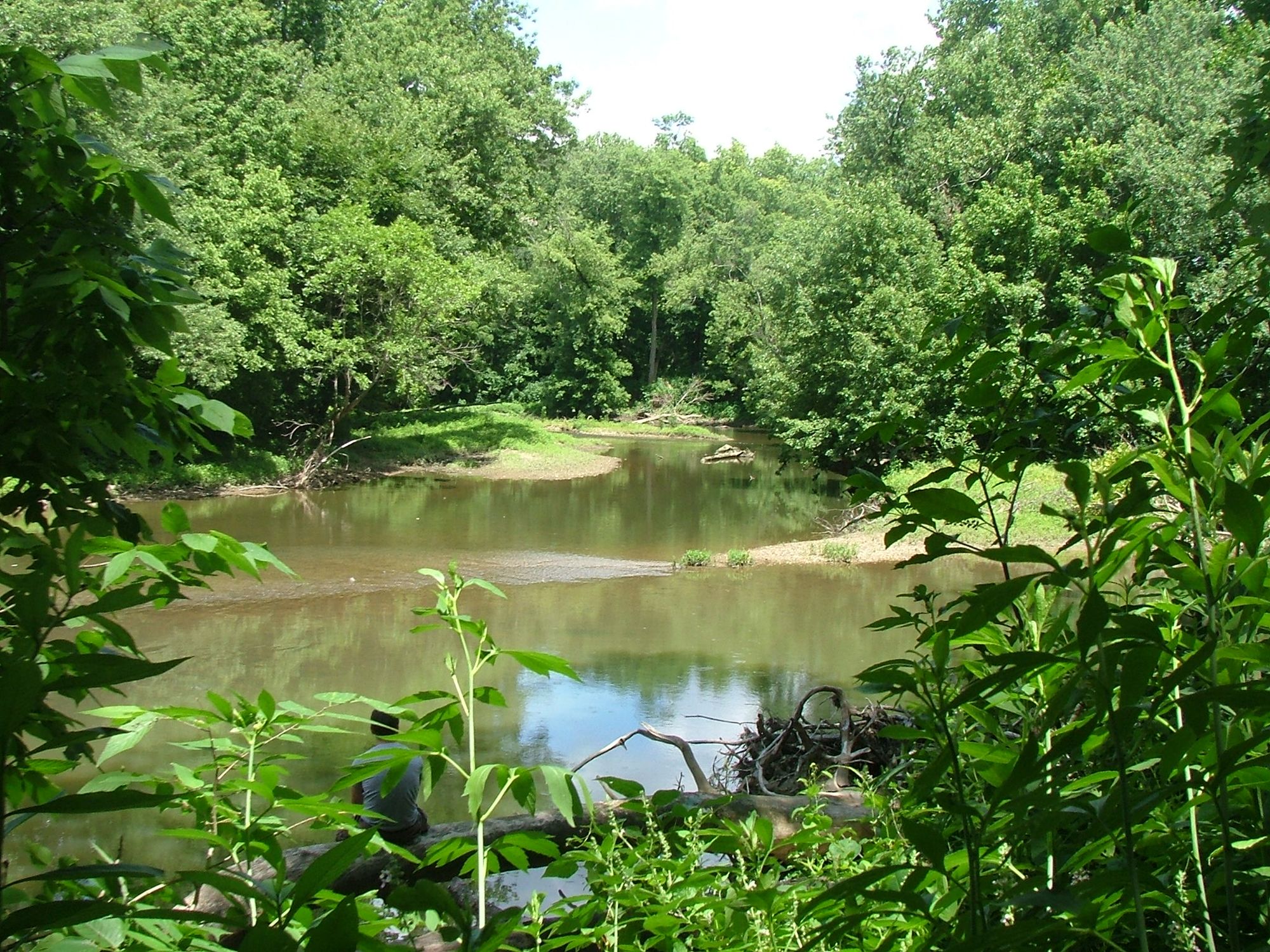
Alum Creek
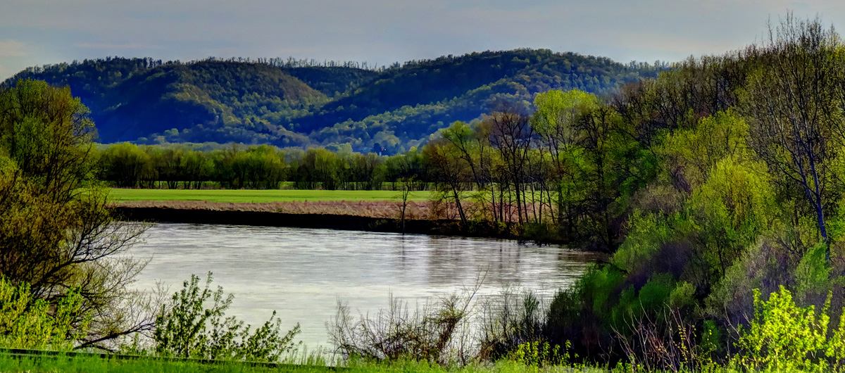
Scioto River
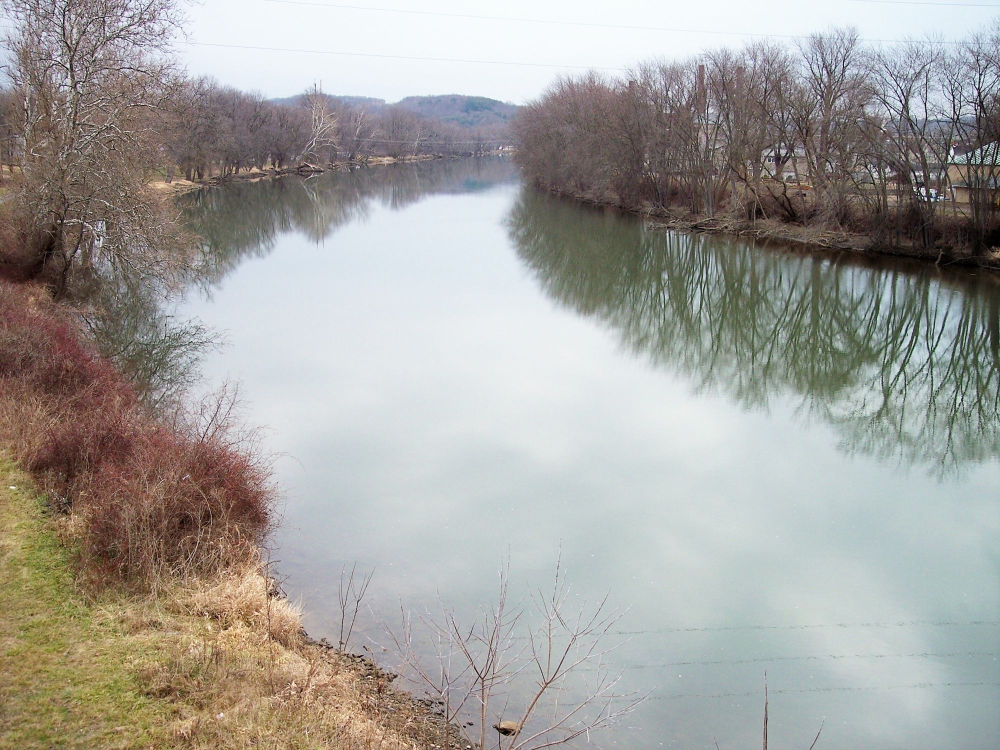
Tuscarawas River
Ohio licenses and regulations
Explore Ohio waters
Top paddling waters
No waters available right now.
Popular Cities
Loading popular cities...
Explore near Clear Fork Reservoir Access
Nearby spots
Nearby waters
More in Ohio

Smarter Paddling Starts in the App.
Paddleways gives you everything you need to plan smarter, paddle better, and own every trip from first launch to takeout.