Curated by PaddleWays
RouteClass I
- Distance
- 8.3 mi
- Paddle time
- ~3 hrs
- Best for
- Kayak, canoe, raft, tube
- Put-in → take-out
- County Road 1075 north of Perrysville → Loudonville
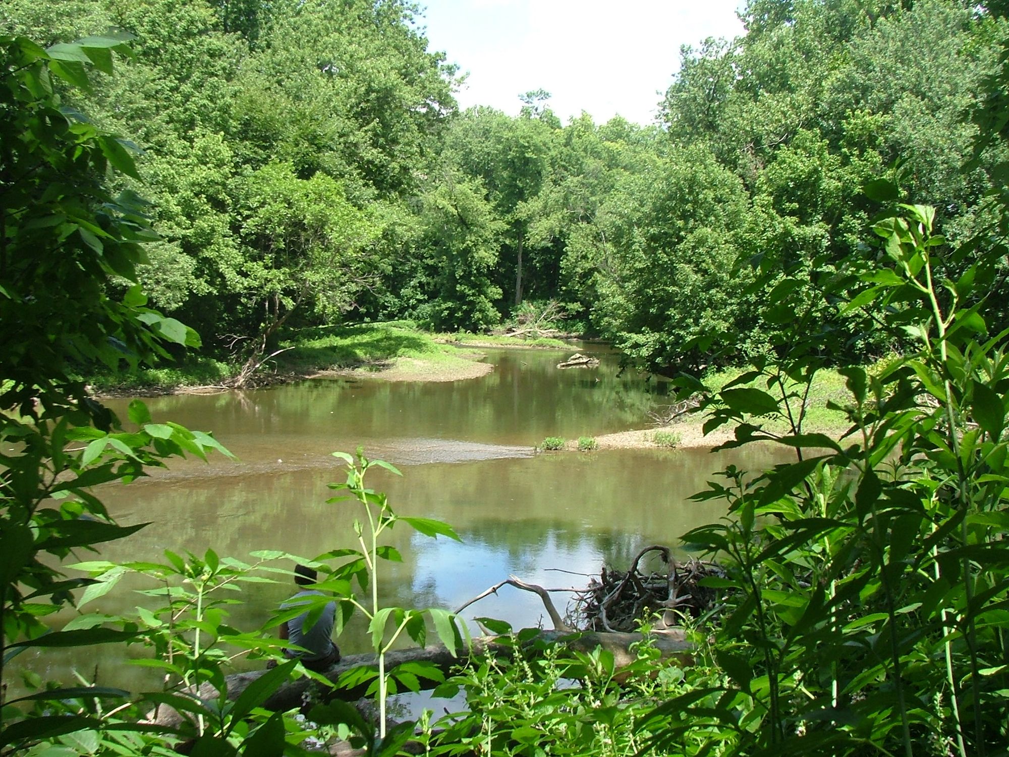
Mud banks, snags, and gravel bars
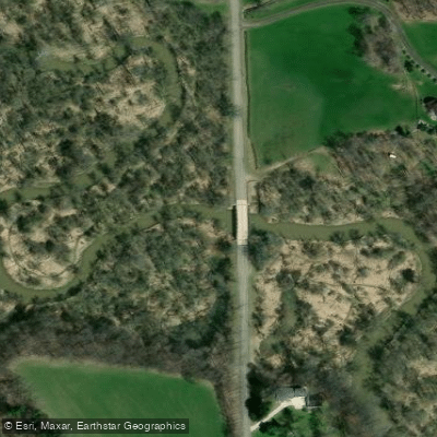
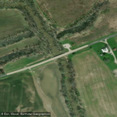
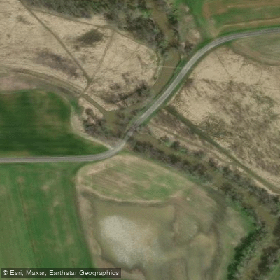
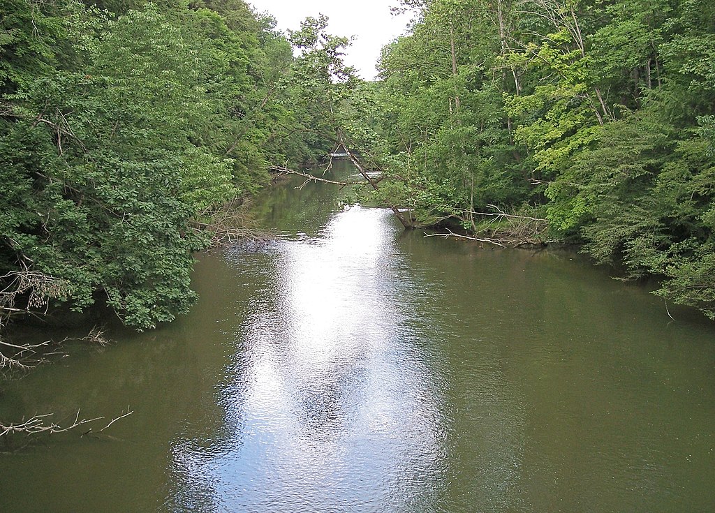
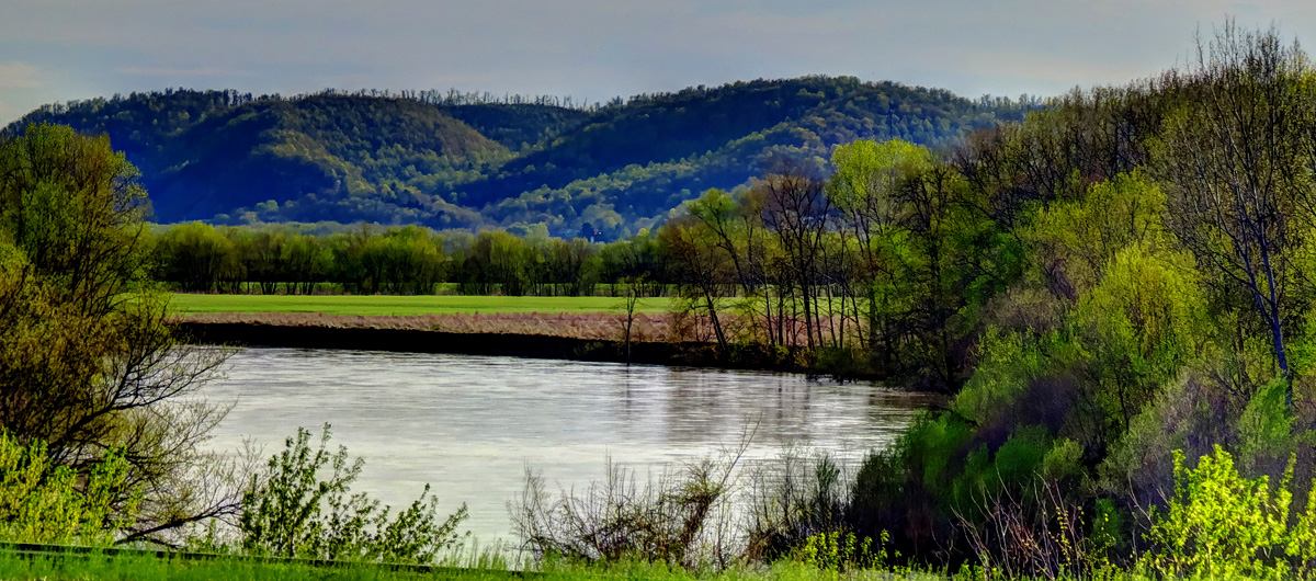
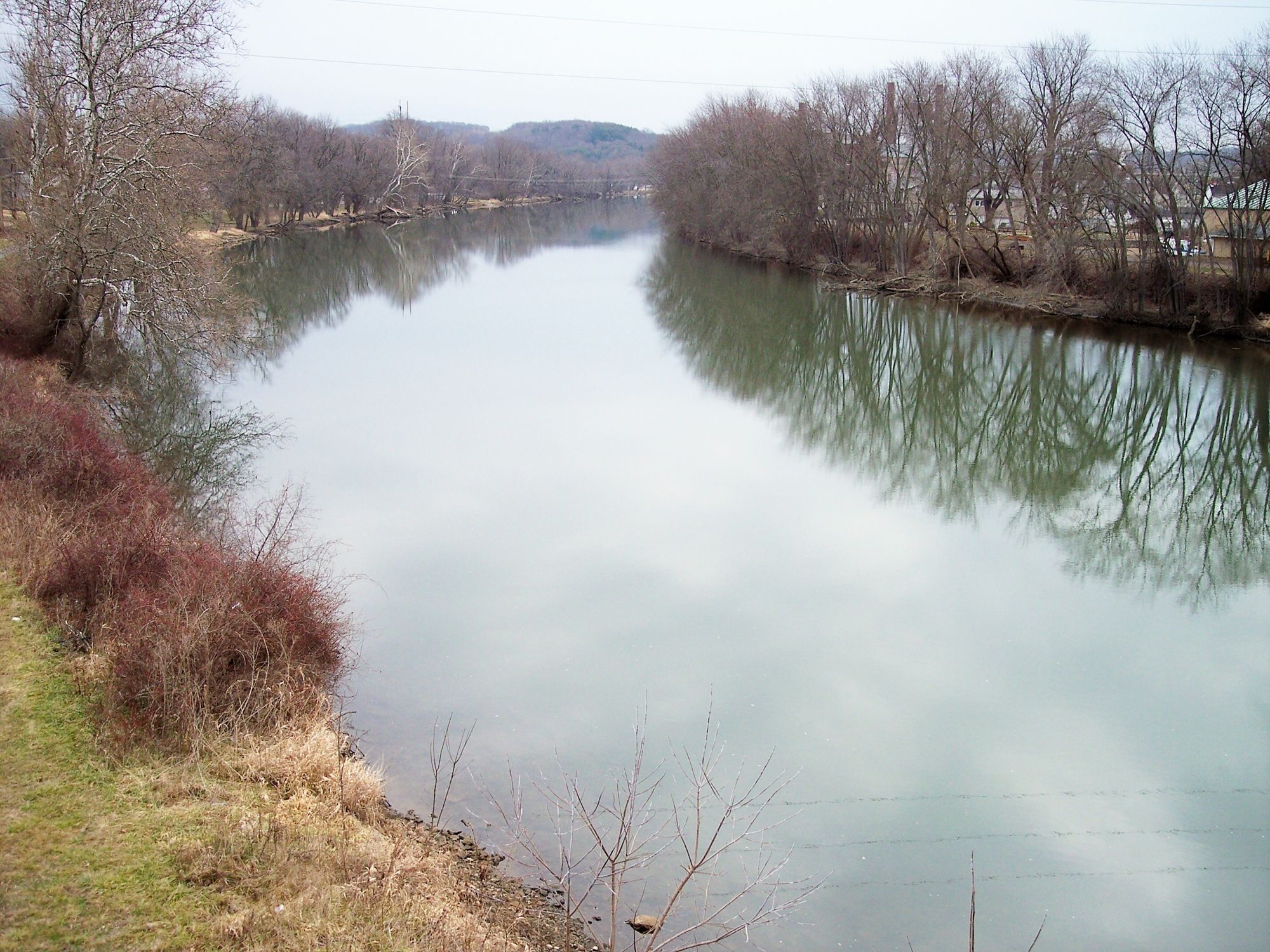
The Black Fork Mohican River is a significant tributary of the Mohican River system in north-central Ohio. Originating near Mansfield, it flows southeast for approximately 58 miles before joining with the Clear Fork to form the main stem of the Mohican River south of Loudonville. The Black Fork is part of the larger Muskingum River watershed. Paddling opportunities on the Black Fork range from calm flatwater sections to mild Class I rapids. The upper reaches above Charles Mill Lake offer a more secluded experience, while the lower sections are popular for recreational paddling. The 19-mile stretch from Charles Mill Dam to Loudonville is a favorite, featuring a narrow, tree-canopied river that gradually widens as it approaches Loudonville.
Overall, the Black Fork is suitable for novice to intermediate paddlers, with mostly Class I rapids and occasional Class II sections in the upper reaches. The river is best paddled in spring and early summer when water levels are higher. Late summer and fall can see lower water levels, potentially requiring portages around shallow areas.
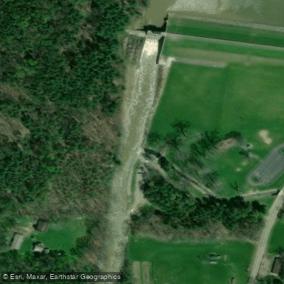
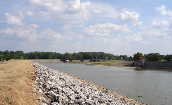
The river corridor supports a diverse ecosystem, with forested banks giving way to open fields in some areas. Wildlife sightings may include various bird species, deer, and small mammals. The river provides important habitat for numerous aquatic species as well. Key landmarks include Charles Mill Lake and Dam, the town of Perrysville, and the confluence with Clear Fork near Loudonville. Popular access points include Charles Mill Dam, Perrysville (near County Road 1075), and various locations in Loudonville. These towns also serve as resupply points for multi-day trips.
Historically, the Black Fork played a role in early settlement and industry in the region. Today, it's valued for its recreational opportunities and natural beauty. The river is part of the larger Mohican State Scenic River system, recognized for its ecological and scenic importance.
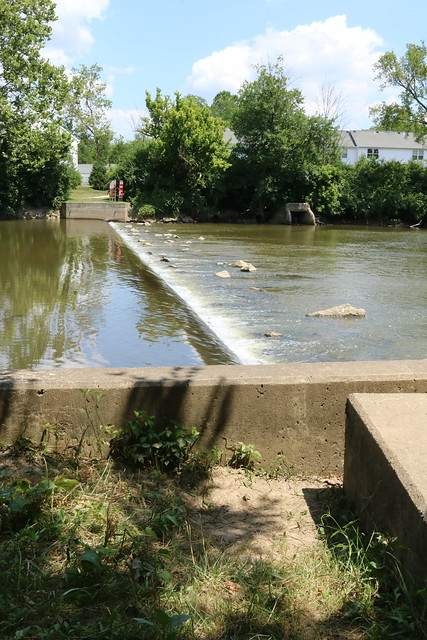
Safety considerations include watching for snags and low-hanging branches, especially in the narrower upper sections. Paddlers should be aware of dam locations and portage routes. As with all rivers, checking current water levels and weather conditions before embarking is essential.
Multi-day trip options are possible, particularly when combining the Black Fork with the main stem Mohican River. A popular extended route is to paddle from Charles Mill Dam all the way to the Mohican's confluence with the Kokosing Scenic River, a journey of over 40 miles that showcases the best of this picturesque Ohio waterway.
Curated routes
Hand-picked by the PaddleWays team, with put-ins, take-outs, paddle times and the hazards along the way.
RouteClass I
RouteClass I–II
Hazards
No hazards are marked on Black Fork Mohican River yet. That is not the same as none being there: if you find one, report it for the next paddler.
From the community
Nobody has shared a trip on Black Fork Mohican River yet. Paddle it, then tell the next paddler how it went.
See exactly where the public can get on and off the river. Launch points and boat ramps are paired with PaddleWays' public land data so you know where you can legally land.
Public shoreline
0%of the river's shoreline is public
Most of the riverbank is private. Launch, land and camp only at public access points.
Flows, weather and a route-by-route verdict, so you know which stretch of the Black Fork Mohican River is worth paddling today.
All Flow Stations
Live flows, marked hazards and fresh trip reports from paddlers who were just on the water, all in one place.





Every user gets free access to launch points, boat ramps, and public property parcels.
Loading popular cities...
PaddleWays gives you everything you need to plan smarter, paddle better, and own every trip from first launch to takeout.