Curated by PaddleWays
RouteClass I–II
- Distance
- 19.1 mi
- Paddle time
- ~6.5 hrs
- Put-in → take-out
- Riverside Park Access → Kokosing River Canoe Launch
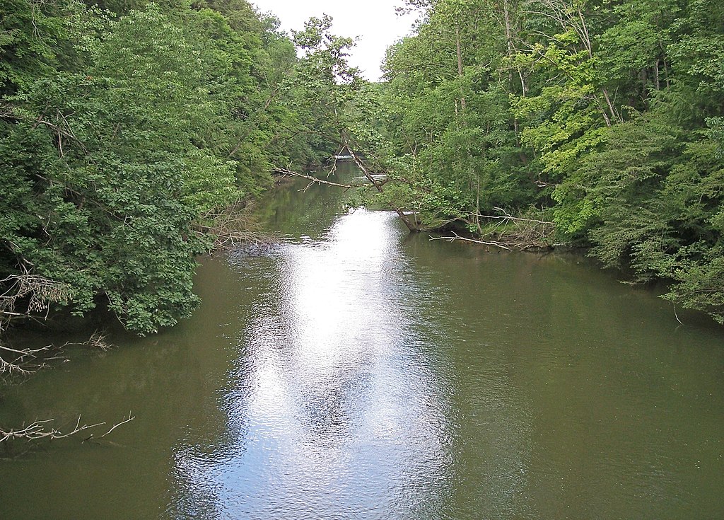
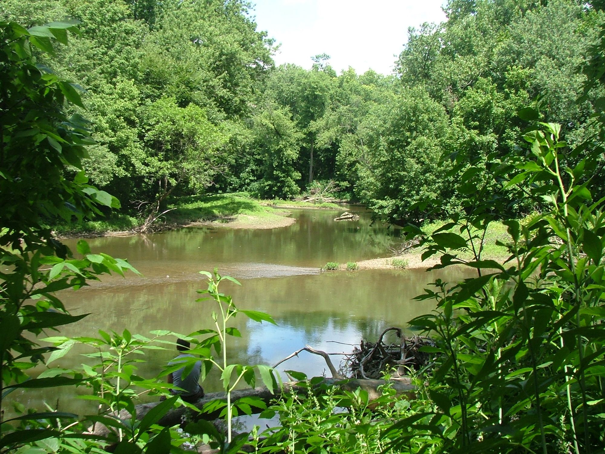
Fallen trees in the water
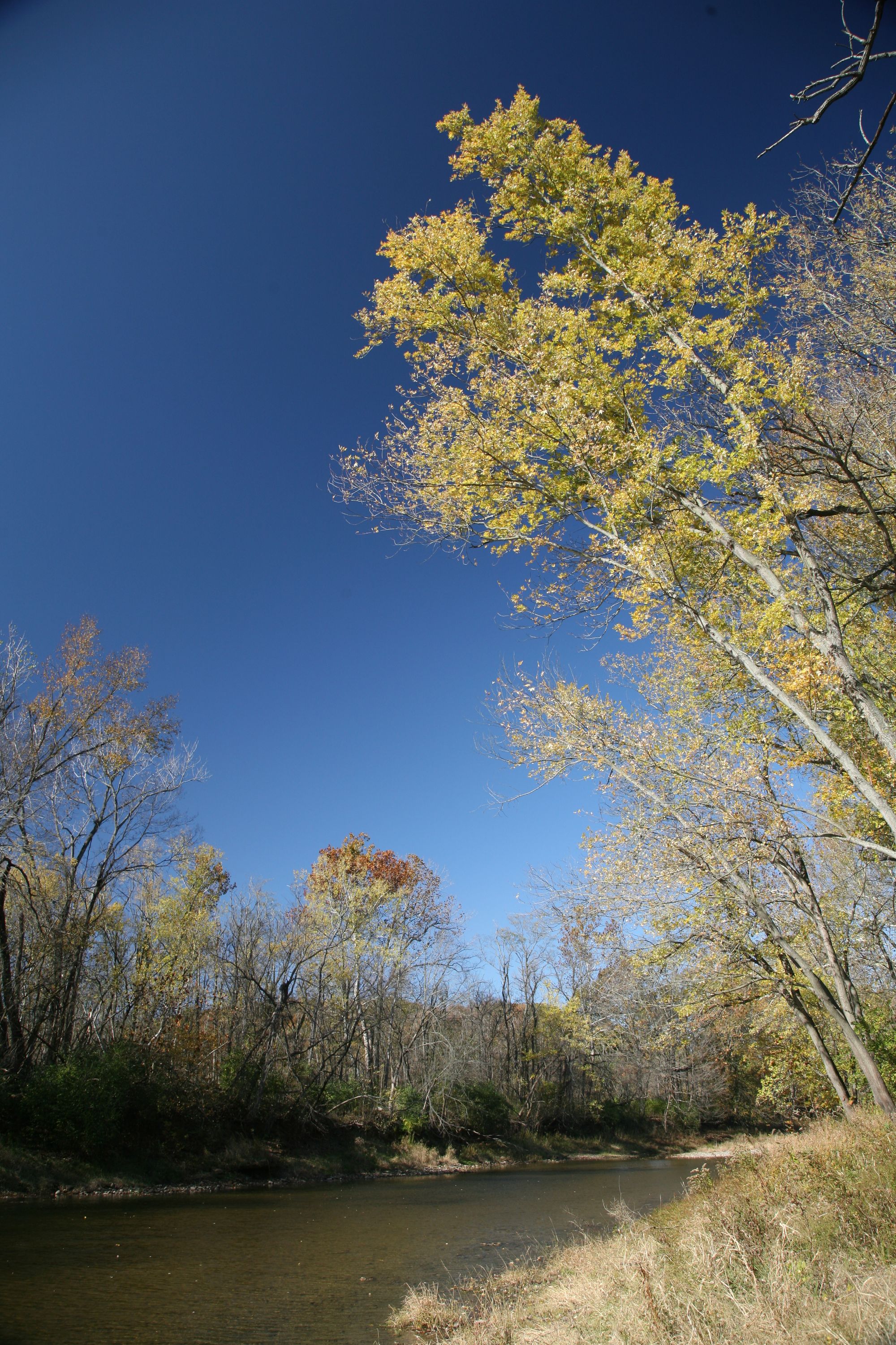
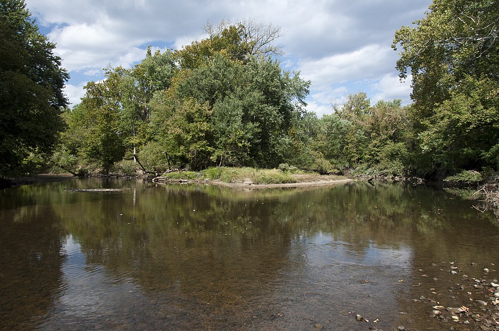
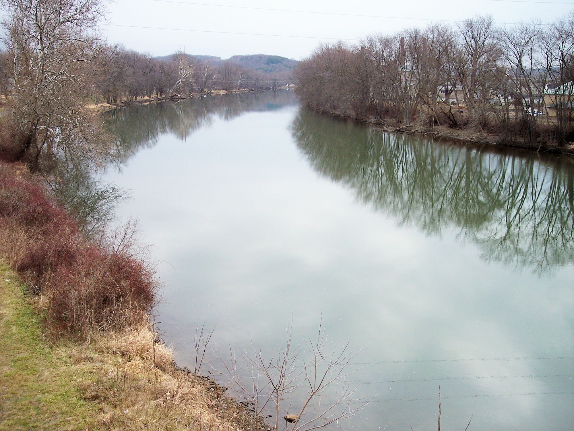
The Kokosing River, a hidden gem in central Ohio, offers paddlers a serene and picturesque journey through the heart of Knox County. This state-designated scenic river flows for approximately 29 miles from Gambier to its confluence with the Walhonding River, carving its way through landscapes shaped by ancient glaciers.
The river's gentle current and predominantly Class I-II rapids make it an ideal destination for paddlers of all skill levels, from families seeking a leisurely float to more experienced kayakers looking for a relaxing day trip. The Kokosing River Water Trail, which encompasses the entire length of the river, provides numerous access points and opportunities for exploration.
One of the most popular sections for paddling runs from the Kokosing Valley Campground to Millwood Landing, covering about 27 miles of diverse scenery. This stretch offers a perfect blend of peaceful floating and occasional mild rapids, with an average depth of 2-3 feet in most areas. Paddlers can expect to encounter beautiful sandstone cliffs, lush forests, and abundant wildlife along the way.
The river's flow is generally suitable for paddling from spring through fall, with ideal conditions typically occurring when the water level is between 100-200 cfs. However, experienced paddlers can navigate the river at lower flows, down to about 70 cfs, with some extra effort. It's always wise to check current conditions before embarking on a trip, as recent reports have mentioned fallen trees creating potential hazards in some areas.
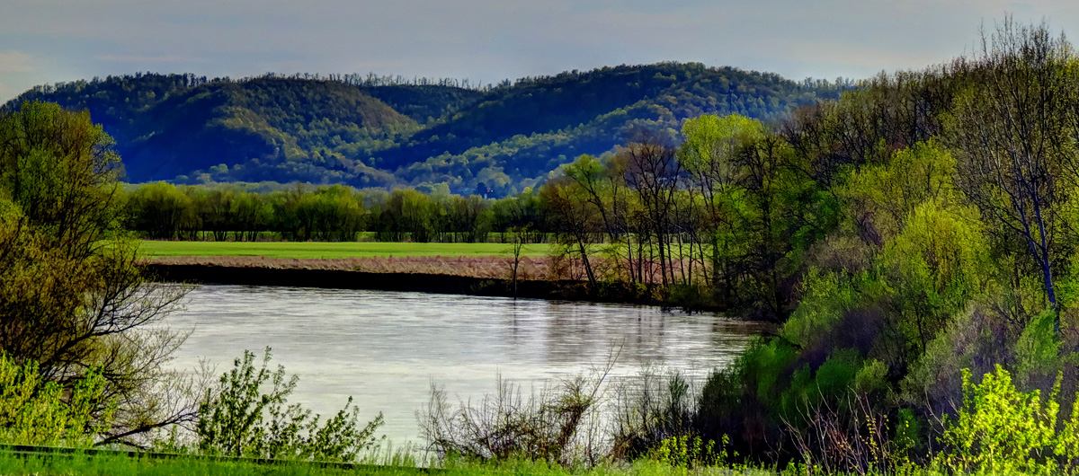
As you paddle the Kokosing, you'll travel through the scenic Kokosing Gap between Mount Vernon and Gambier, where impressive Blackhand and Logan sandstone formations create a stunning backdrop. This geological feature offers a glimpse into the region's ancient past and adds to the river's allure for nature enthusiasts and photographers alike.
Several access points dot the river's course, including Big Run Road Access, Hope Fishing Access, and Kokosing Gap Canoe Access. The town of Howard serves as a convenient midpoint for resupply or a break from paddling. For those seeking a multi-day adventure, the Kokosing Valley Campground and Canoe Livery offers camping facilities and rental services, making it an excellent base for exploring the river.
Safety should always be a priority when paddling the Kokosing. While generally calm, the river can experience higher water levels and stronger currents after heavy rains. Paddlers should wear life jackets, be aware of potential strainers or low-hanging branches, and carry appropriate safety gear.
The Kokosing River isn't just a recreational resource; it's also an important part of the region's ecosystem and history. The river and its surrounding lands provide habitat for diverse flora and fauna, including various fish species, birds, and mammals. Additionally, the river played a significant role in the area's early development, powering mills and supporting local communities.
Whether you're planning a short day trip or a multi-day expedition, the Kokosing River offers a chance to immerse yourself in the natural beauty of Ohio's countryside. Its accessibility, scenic value, and gentle nature make it a perfect destination for paddlers looking to escape the hustle and bustle of everyday life and connect with the tranquil rhythms of a classic Midwestern waterway.
Curated routes
Hand-picked by the PaddleWays team, with put-ins, take-outs, paddle times and the hazards along the way.
RouteClass I–II
RouteClass I–II
Hazards
No paddler has reported a hazard here yet, so these are the dams, falls and big rapids on our map. Hazards change with flows and storms, so check them before you launch.
From the community
Real trips from PaddleWays paddlers: which route they ran, how the flows were, and what to watch for.
Loading trip reports
Rachel C.
154 cfs at Mount Vernon
See exactly where the public can get on and off the river. Launch points and boat ramps are paired with PaddleWays' public land data so you know where you can legally land.
Public shoreline
2%of the river's shoreline is public
Most of the riverbank is private. Launch, land and camp only at public access points.
Flows, weather and a route-by-route verdict, so you know which stretch of the Kokosing River is worth paddling today.
Live flows, marked hazards and fresh trip reports from paddlers who were just on the water, all in one place.





Every user gets free access to launch points, boat ramps, and public property parcels.
Loading popular cities...
PaddleWays gives you everything you need to plan smarter, paddle better, and own every trip from first launch to takeout.