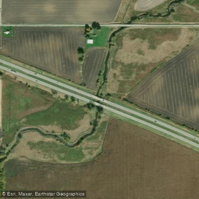
Curated by PaddleWays
RouteClass I
- Distance
- 13.8 mi
- Paddle time
- Multi-day
- Best for
- Beginners
- Put-in → take-out
- Little Scioto River (northern Section Of Ohio) Canoe Launch → Scioto River Canoe Launch
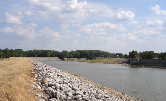
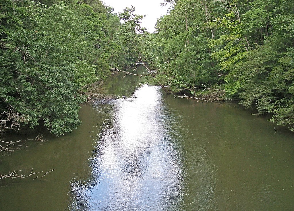
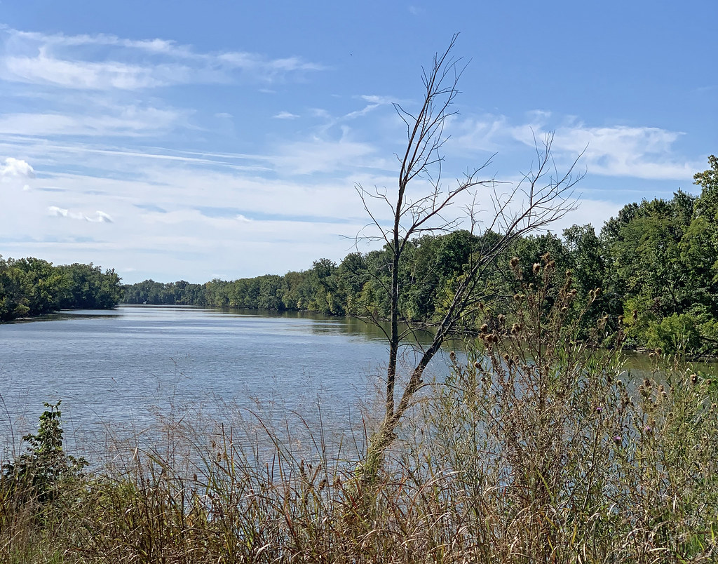
The Little Scioto River originates south of Bucyrus in Crawford County, Ohio, flowing generally southwestward through agricultural landscapes before entering Marion County. This 27.2-mile tributary of the Scioto River drains approximately 111 square miles, eventually joining its parent river at Green Camp in Marion County. The river's character reflects its glaciated Midwest origins, flowing through relatively flat terrain with well-drained to excessively drained soils. The upper reaches near Bucyrus traverse ground moraine landscapes, while downstream sections pass through areas historically influenced by wetland prairie ecosystems. Agricultural drainage dominates the watershed, with extensive tile systems and some channelized sections affecting natural flow patterns.
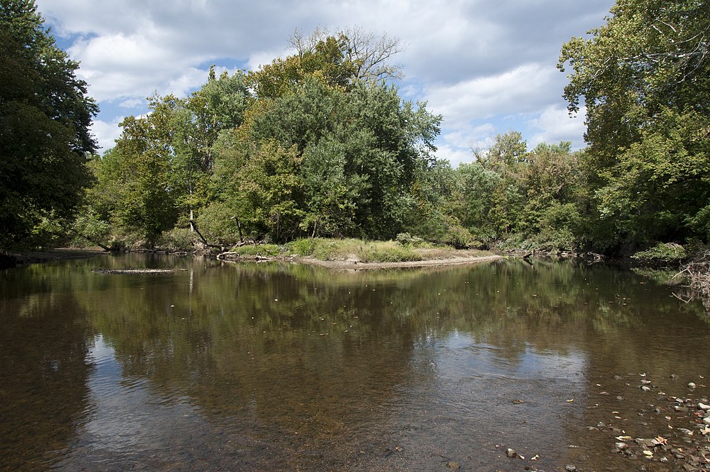
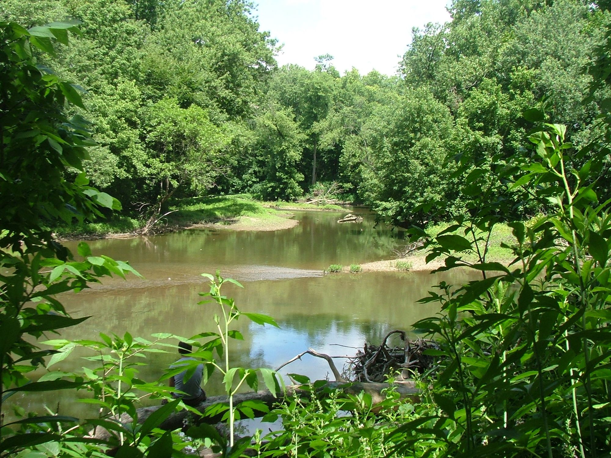
**Paddling Characteristics** The Little Scioto River presents limited paddling opportunities due to its small size and shallow conditions through much of the year. Stream flows are highly variable, with the most reliable water levels occurring during spring runoff from late March through May. Summer and fall typically bring low flows that may require portaging or wading through shallow riffles and gravel bars.
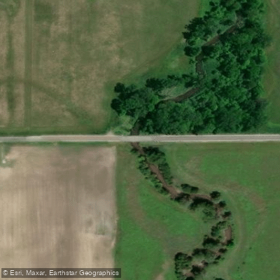
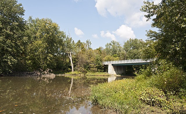
**Access and Navigation** Public access points are sparse along the Little Scioto River. Paddlers typically launch from road crossings, though permission from adjacent landowners is often necessary. The river passes west of Marion, Ohio's largest city in the watershed, before continuing southward to Green Camp. Navigation requires careful attention to potential obstacles including fallen trees, logjams, and shallow substrate areas dominated by cobble and gravel.
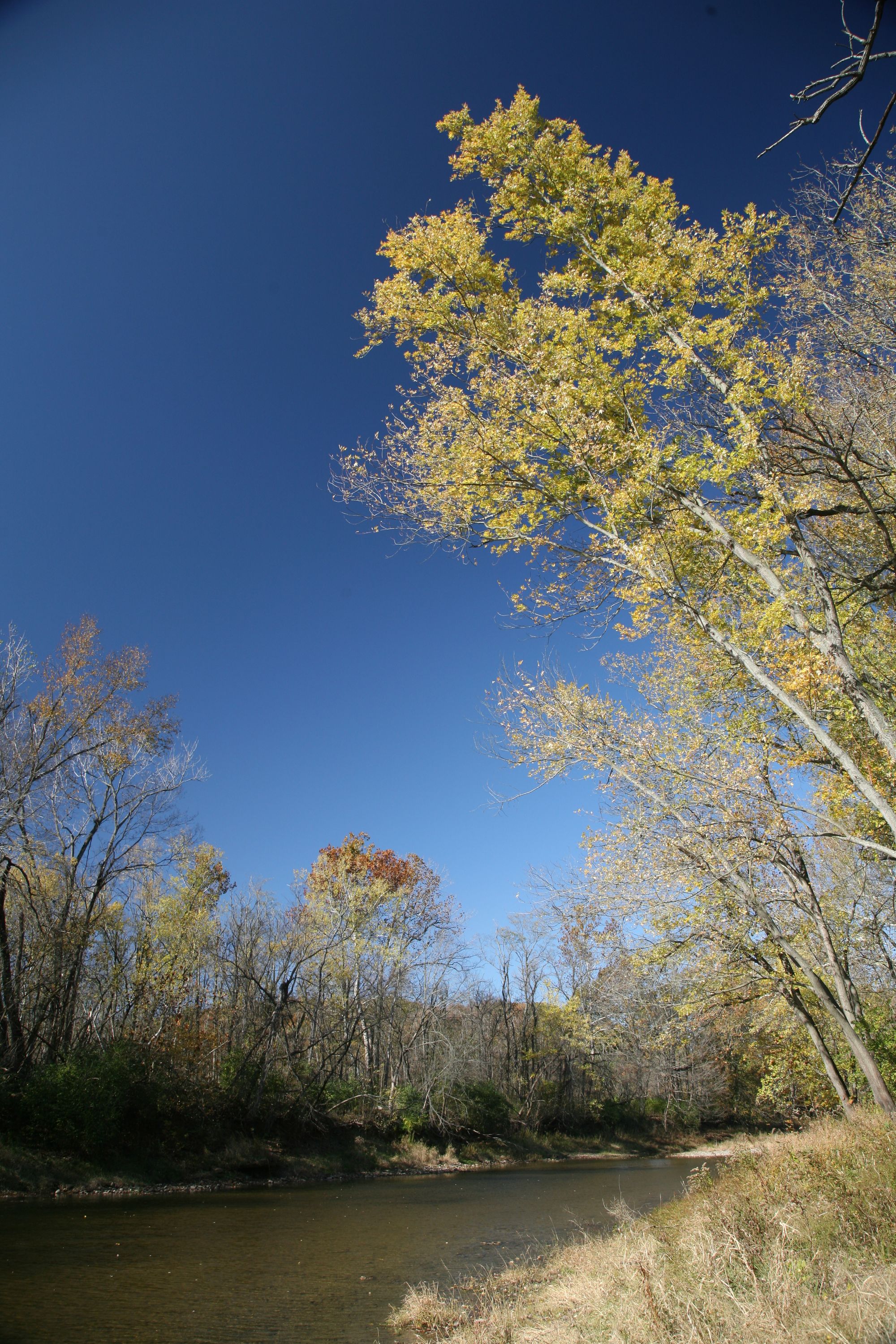
**Ecological Context** The watershed supports warmwater fish communities including smallmouth bass, rock bass, channel catfish, and various sunfish species. Riparian corridors where present contain silver maple, sycamore, box elder, and ash trees. However, agricultural land use has significantly reduced natural vegetation along many stream segments.
**Historical Considerations** The Little Scioto River has experienced significant environmental challenges, particularly in Marion County where industrial contamination from phenolic resin manufacturing operations historically impacted water quality. Remediation efforts have addressed contaminated sediments in affected reaches, though legacy effects influenced aquatic communities into the 2000s.
**Planning Considerations** Prospective paddlers should verify current water levels before attempting trips, as the river frequently runs too shallow for practical navigation. Spring conditions offer the best opportunities, though agricultural runoff during this period can increase turbidity. The river's small size and limited public access make it more suitable for short exploratory trips rather than extended paddling adventures.
Curated routes
Hand-picked by the PaddleWays team, with put-ins, take-outs, paddle times and the hazards along the way.
RouteClass I
Hazards
No hazards are marked on Little Scioto River yet. That is not the same as none being there: if you find one, report it for the next paddler.
From the community
Nobody has shared a trip on Little Scioto River yet. Paddle it, then tell the next paddler how it went.
See exactly where the public can get on and off the river. Launch points and boat ramps are paired with PaddleWays' public land data so you know where you can legally land.
Public shoreline
0%of the river's shoreline is public
Most of the riverbank is private. Launch, land and camp only at public access points.
Flows, weather and a route-by-route verdict, so you know which stretch of the Little Scioto River is worth paddling today.
No forecast data available.
Live flows, marked hazards and fresh trip reports from paddlers who were just on the water, all in one place.





Every user gets free access to launch points, boat ramps, and public property parcels.
Loading popular cities...
PaddleWays gives you everything you need to plan smarter, paddle better, and own every trip from first launch to takeout.