Nimisila Reservoir
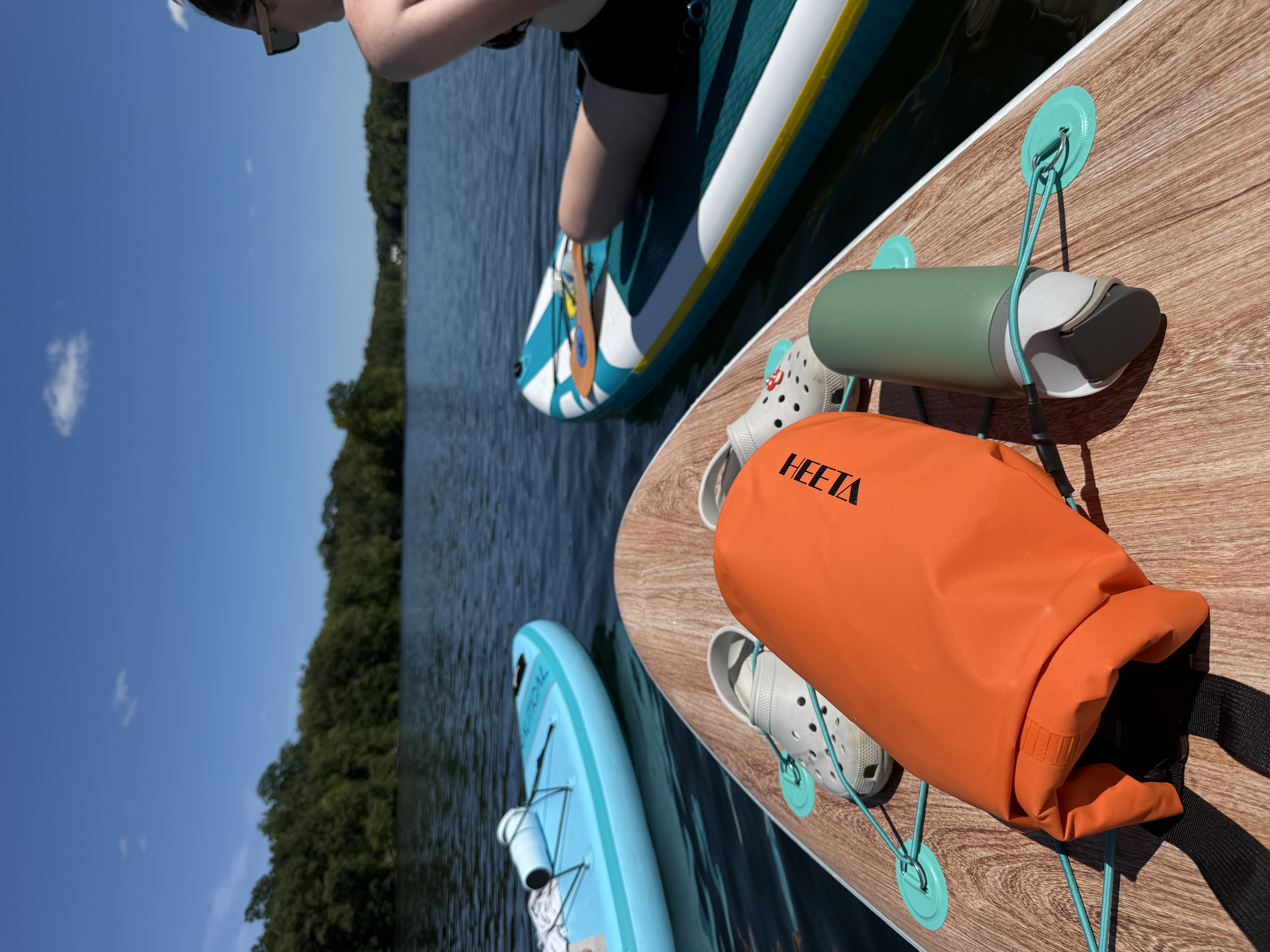
Nimisila Reservoir
- Boat Ramps
- 8
- Access Points
- 11
- Campsites
- 0
Nimisila Reservoir, located in southeastern Summit County, Ohio, is an 825-acre body of water offering a tranquil paddling experience. As the largest lake in Summit Metro Parks, it features 16 miles of shoreline and four boat launches, providing ample access points for paddlers. The reservoir's maximum depth is around 30 feet.
Only electric boat motors are permitted on Nimisila, ensuring a quiet atmosphere for kayakers and canoeists. This restriction contributes to the lake's calm waters, making it suitable for paddlers of various skill levels. Boats may be placed in the water by hand year-round, weather conditions permitting.
Wildlife enthusiasts will appreciate Nimisila's rich ecosystem. The reservoir serves as an important migratory stopover, hosting numerous waterfowl species. Eagles and osprey are frequently spotted, while in August, thousands of purple martins roost on the lake's grassy islands, creating a spectacular evening display.
Nimisila's history adds depth to the paddling experience. Built in 1936 by the Works Progress Administration, the reservoir was created by constructing an earthen dam 44 feet high and 2,350 feet long on Nimisila Creek. The area was once an important trading post and played a role in the War of 1812 as a rendezvous point for American troops.
For overnight stays, 29 individual campsites are available near the eastern banks. Each site includes a fire ring and picnic table, with some offering electrical hookups. The campground features a boat launch and playground, though it lacks showers and drinking water.
Paddlers should be aware that Nimisila Reservoir is part of the larger Portage Lakes system and is subject to Ohio Department of Natural Resources boating regulations. While specific seasonal water temperatures are not provided, the lake is known for its fishing opportunities, suggesting comfortable conditions for much of the year.
Water access, boat ramps & amenities
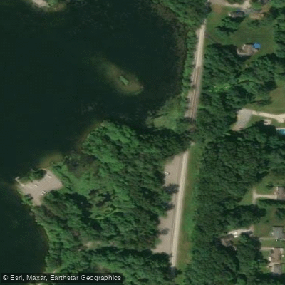
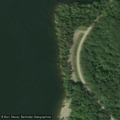
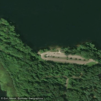
Learn how to get on Nimisila Reservoir. Uncover great paddling access points, boat ramps, and all the facilities you need for an unforgettable day on the water. Some locations shown may border or include private property. Always check property boundaries and applicable regulations before visiting. PaddleWays's Public & Private Land layer can help you plan your access with confidence.
Paddle smarter with real-time insights
Whether you're en route and conditions shift or you're looking for the best spot based on current flows, we enable you to make informed decisions on the fly.








Find Places to Paddle

Over 400,000 Places to Paddle
Every user gets free access to launch points, boat ramps, and public property parcels.


Water and weather conditions (10 day forecast)
See the best times to paddle Nimisila Reservoir and check the forecast before you go.
No forecast data available.
Paddling near Nimisila Reservoir
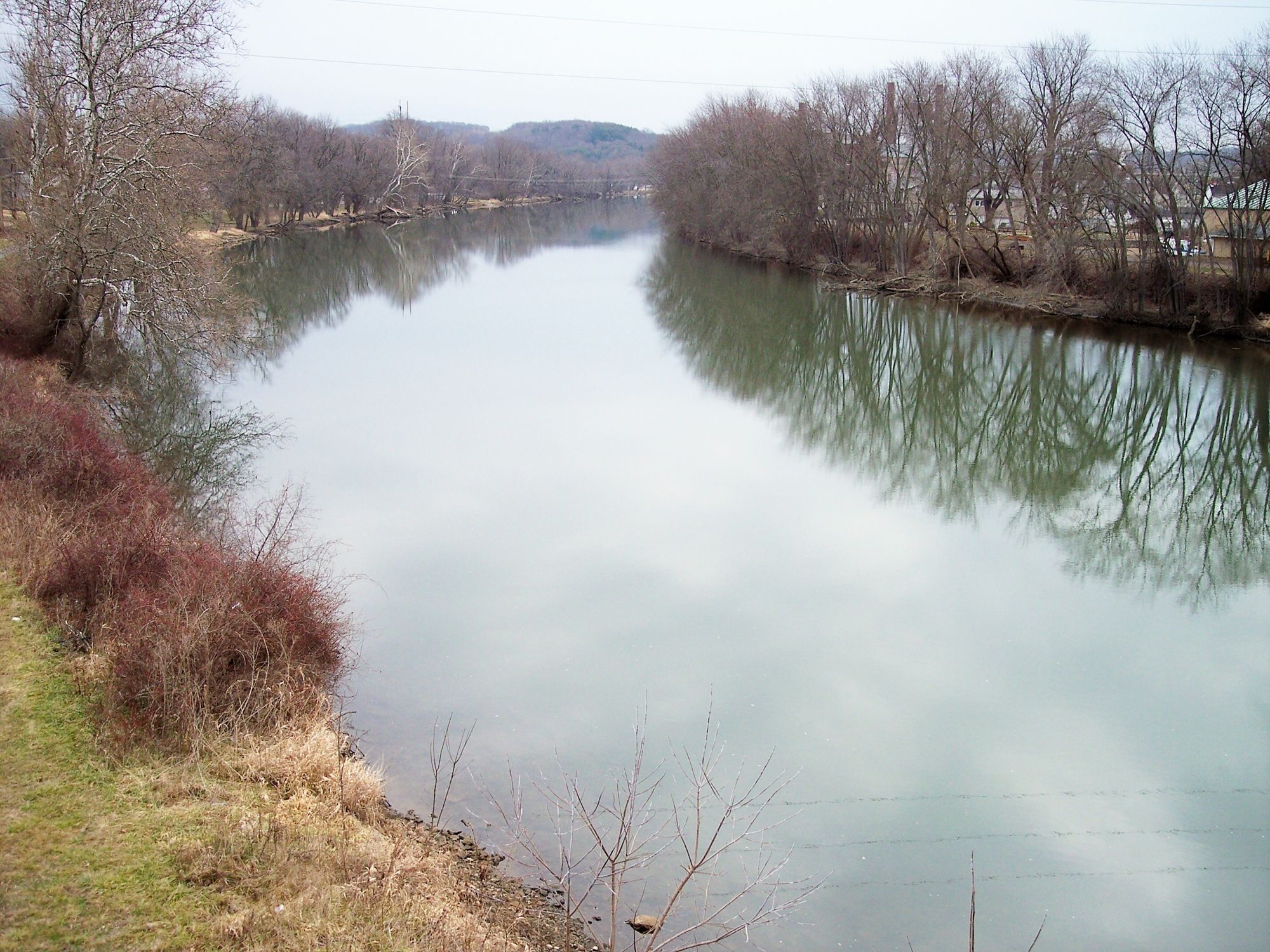
Tuscarawas River
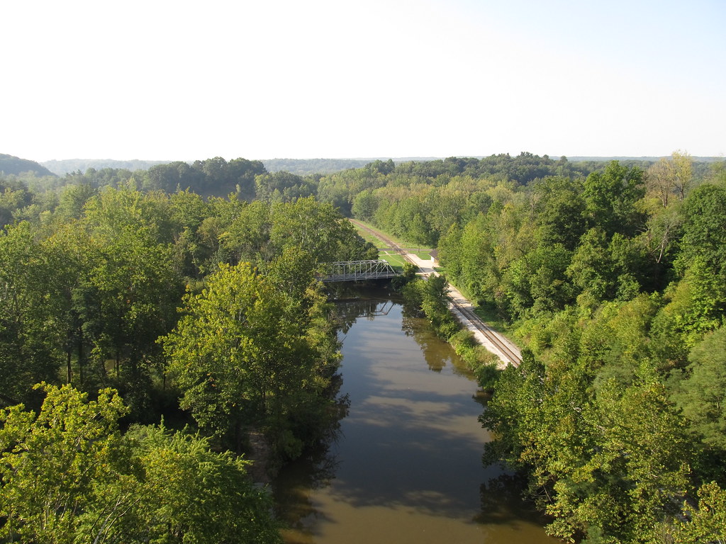
Cuyahoga River

Lake Erie
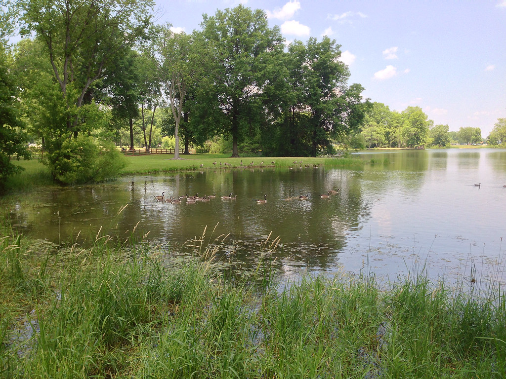
Mosquito Creek Lake
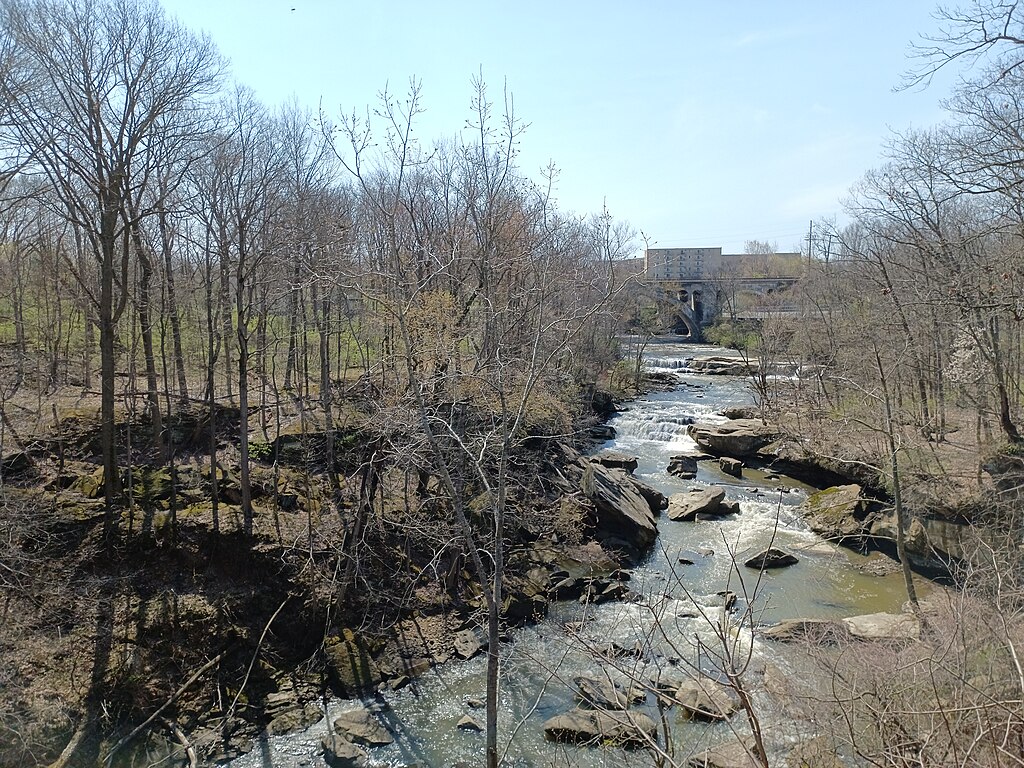
East Branch Rocky River

Ohio River
Grand River
Chagrin River
Vermilion River
Clear Fork Mohican River
Explore Ohio waters
Top paddling waters
Popular Cities
Loading popular cities...
Explore near Nimisila Reservoir
Access points
- Portage Lakes State Park #2 NA Boat Ramp
- Portage Lakes State Park C 6 Boat Ramp
- Camper's Boat Ramp
- Karlo Fen Non-dedicated Nature Area Boat Ramp
- Karlo Fen Non-dedicated Nature Area Boat Ramp
- Portage Lakes State Park CG Boat Ramp
- Karlo Fen Non-dedicated Nature Area Boat Ramp
- Portage Lakes State Park C 1 Boat Ramp
- Karlo Fen Non-dedicated Nature Area Fishing Access
- Karlo Fen Non-dedicated Nature Area Fishing Access
- Karlo Fen Non-dedicated Nature Area Fishing Access
- Nimisila Creek Bridge
- All 29 spots
Nearby waters
More in Ohio

Smarter Paddling Starts in the App.
Paddleways gives you everything you need to plan smarter, paddle better, and own every trip from first launch to takeout.