Spencer Lake
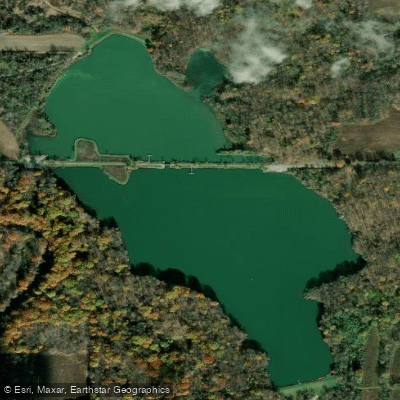
Spencer Lake
- Boat Ramps
- 4
- Access Points
- 4
- Campsites
- 0
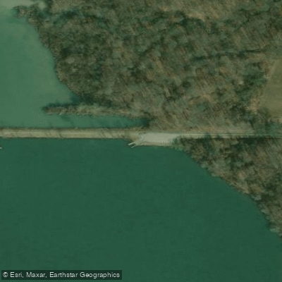
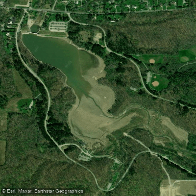
Spencer Lake is a 78-acre impoundment in Medina County, Ohio, located within the 618-acre Spencer Lake Wildlife Area. The lake features two distinctive dam structures - one at each end - due to its unusual location on a watershed divide or "saddle." Originally created in 1961 and expanded in 1970, the lake reaches depths of up to 12 feet in areas that were recontoured along the causeway during a 1985 rehabilitation project.
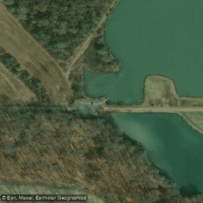
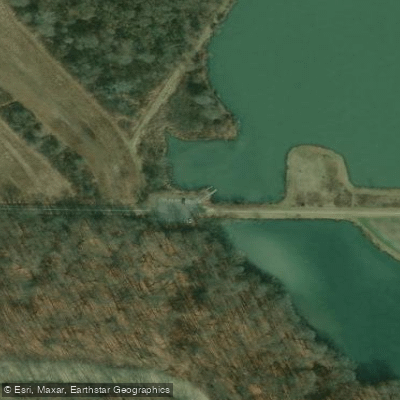
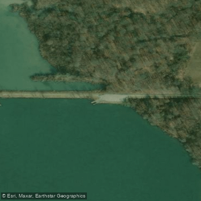
Boat launching ramps are available on both sides of the lake at the ends of the access roads. While motorized watercraft are permitted, they must operate at idle speed only and cannot create a wake. The lake's relatively protected setting within the wildlife area helps minimize wind exposure for paddlers.
The shoreline environment includes fallen trees, tree stumps, and weed beds that create interesting paddling features while also providing productive fishing habitat. Paddlers can observe various wildlife, particularly during spring migration when waterfowl and songbirds are abundant. Common wildlife sightings include wood ducks, Canada geese, blue-winged teal, and mallards.
The lake is situated in gently rolling topography typical of Ohio's glaciated region. Lower-lying areas around the lake tend to be wet during spring months, which may affect shore access. The surrounding wildlife area includes a mix of crop fields, shrubby coverts, grasslands, and woods that create an attractive backdrop for paddling.
While no specific paddle routes are documented, the lake's modest size makes it suitable for casual exploration. The lake supports a healthy fishery of largemouth bass, bluegill, and channel catfish, making it an excellent destination for paddle-anglers. The water quality is actively managed, as demonstrated by the 1985 rehabilitation project that improved the lake's habitat and fishing opportunities.
Water access, boat ramps & amenities
Learn how to get on Spencer Lake. Uncover great paddling access points, boat ramps, and all the facilities you need for an unforgettable day on the water. Some locations shown may border or include private property. Always check property boundaries and applicable regulations before visiting. PaddleWays's Public & Private Land layer can help you plan your access with confidence.
Paddle smarter with real-time insights
Whether you're en route and conditions shift or you're looking for the best spot based on current flows, we enable you to make informed decisions on the fly.








Find Places to Paddle

Over 400,000 Places to Paddle
Every user gets free access to launch points, boat ramps, and public property parcels.


Water and weather conditions (10 day forecast)
See the best times to paddle Spencer Lake and check the forecast before you go.
No forecast data available.
Paddling near Spencer Lake

Lake Erie
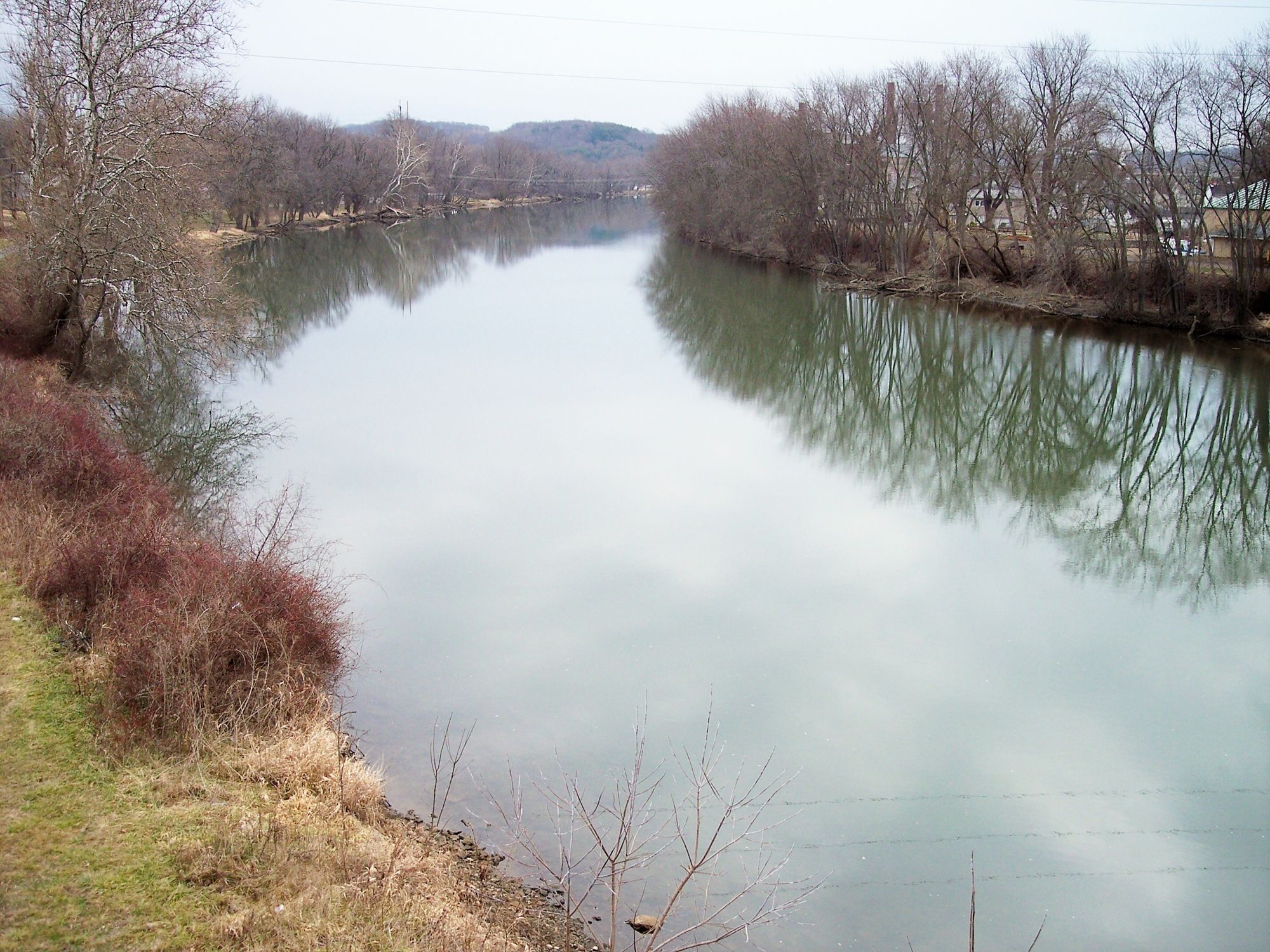
Tuscarawas River
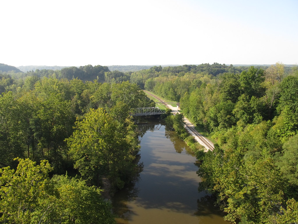
Cuyahoga River
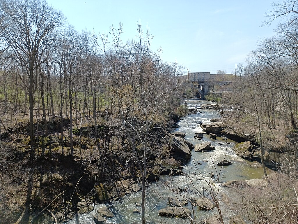
East Branch Rocky River
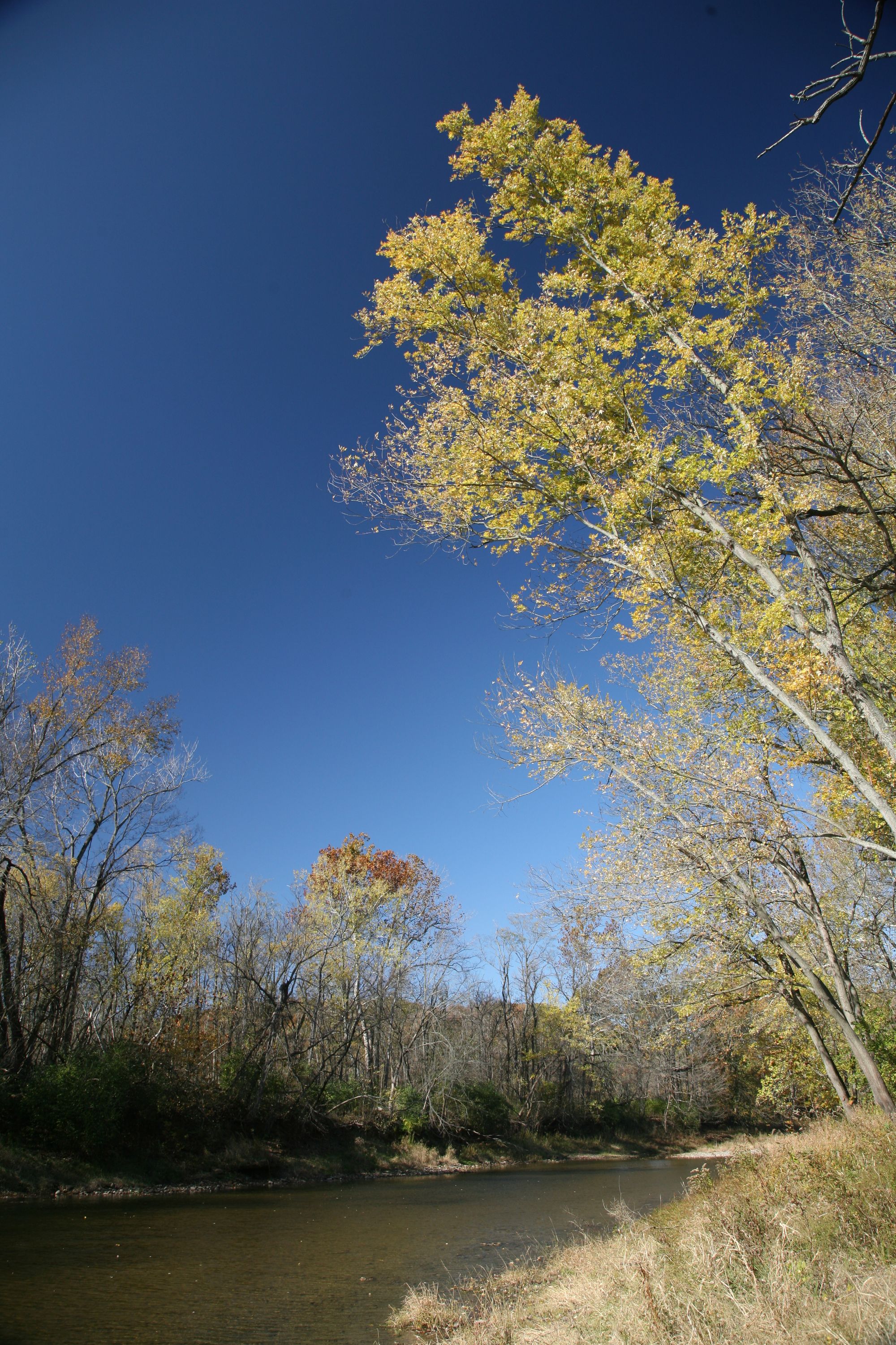
Vermilion River
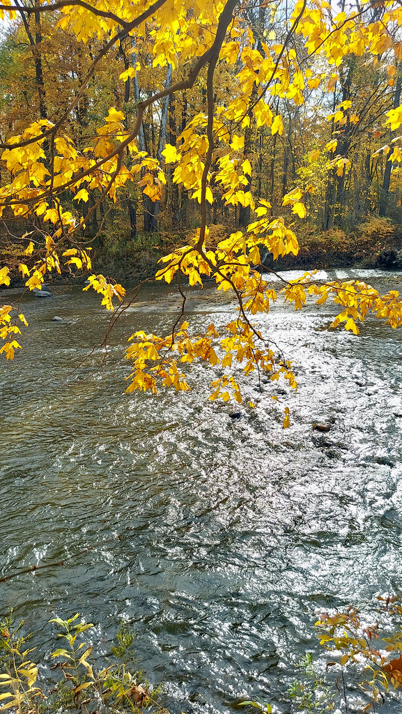
Chagrin River
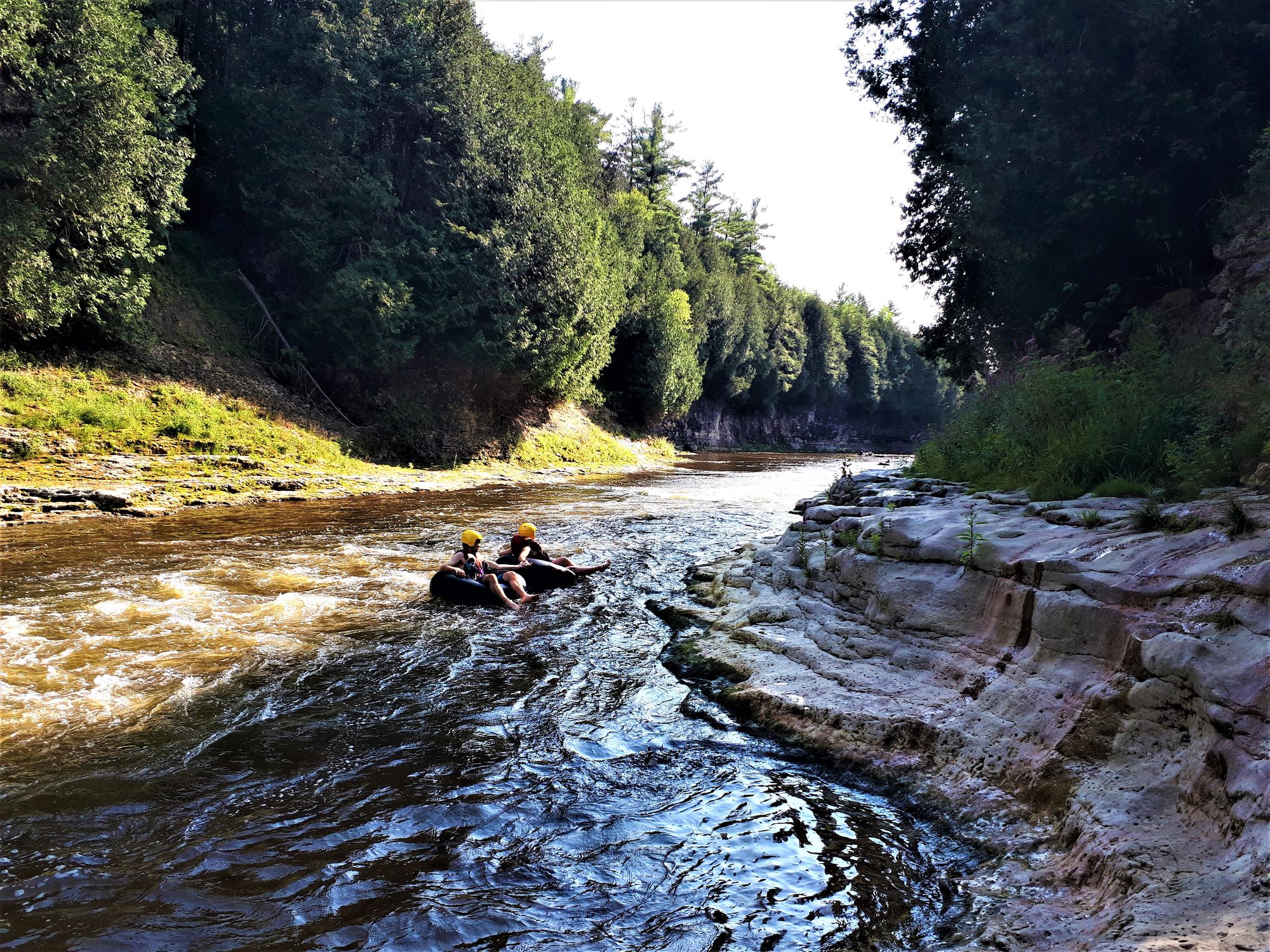
Grand River
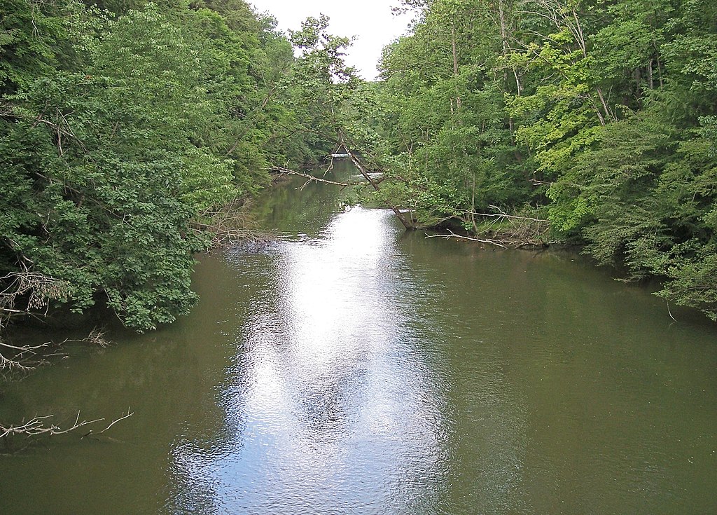
Clear Fork Mohican River
Hinckley Lake
Explore Ohio waters
Top paddling waters
Popular Cities
Loading popular cities...
Explore near Spencer Lake
Access points
- Spencer Lake Wildlife Area West Boat Ramp
- Spencer Lake Wildlife Area - West Boat Ramp
- Spencer Lake Wildlife Area East Boat Ramp
- Spencer Lake Wildlife Area - East Boat Ramp
- East Branch Black River Bridge
- Coon Creek Bridge
- Coon Creek Bridge
- E Branch Black River Bridge
- East Branch Black River Bridge
- Coon Creek Bridge
- E Br Black River Bridge
- Trib. East Brnch Black R Bridge
- All 22 spots
Nearby waters
More in Ohio

Smarter Paddling Starts in the App.
Paddleways gives you everything you need to plan smarter, paddle better, and own every trip from first launch to takeout.