Curated by PaddleWays
RouteClass I
- Distance
- 3.9 mi
- Paddle time
- ~1.5 hrs
- Best for
- Beginners, families
- Put-in → take-out
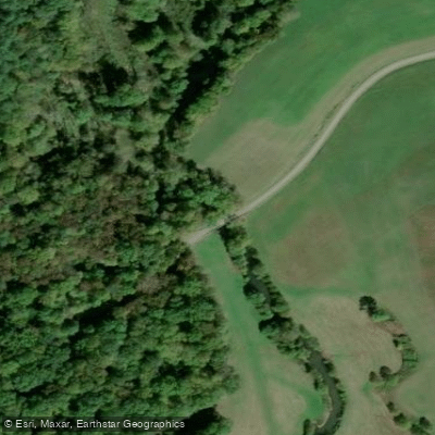
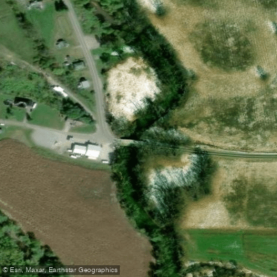
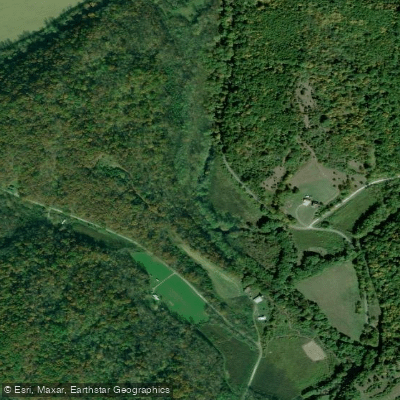
- Route 141 in Cadmus, OH → Symmes Creek Canoe Launch
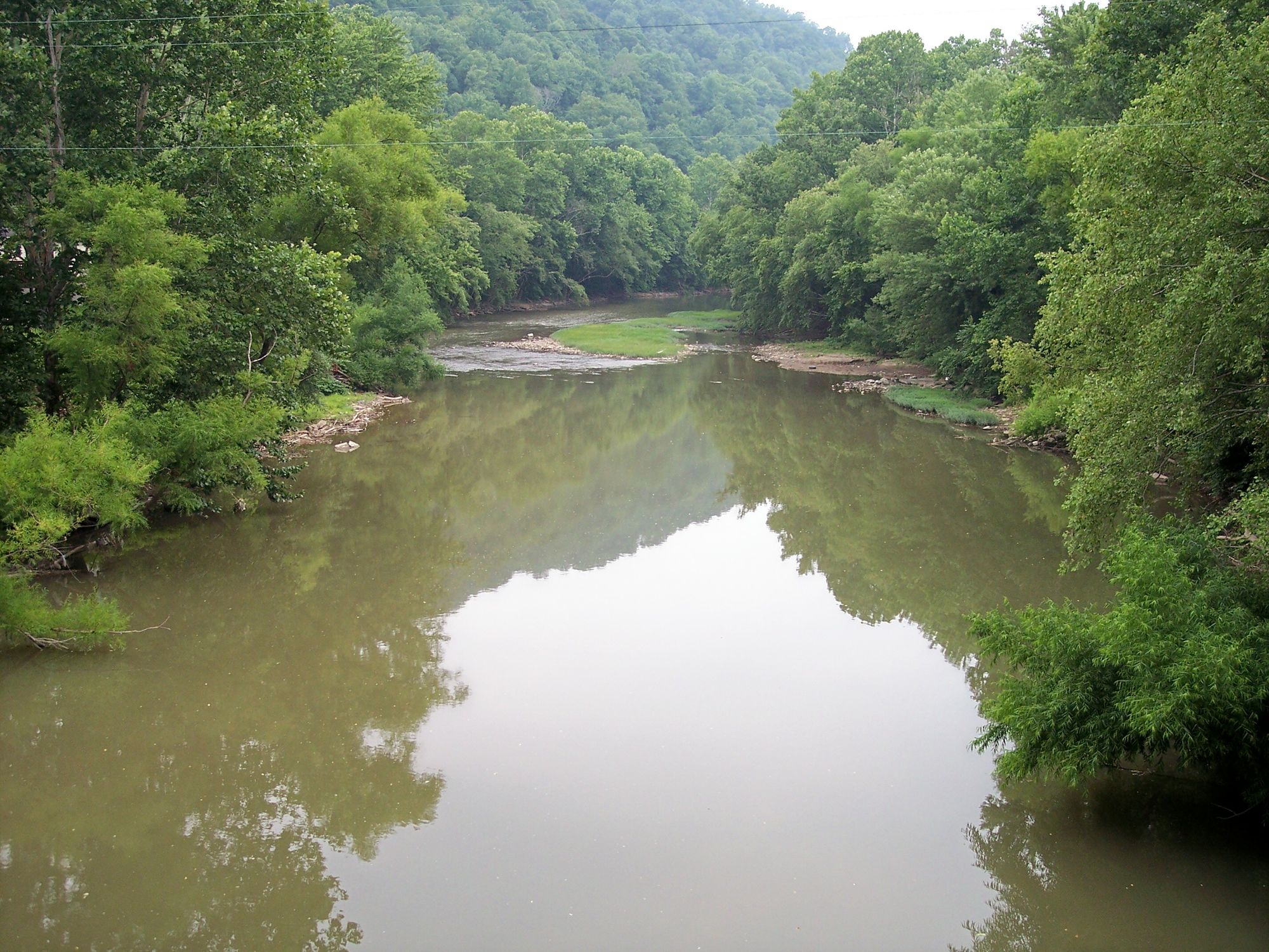
Symmes Creek is a 76-mile tributary of the Ohio River flowing through Jackson, Gallia, and Lawrence counties in Ohio. Rising in southeastern Jackson County near Bloomfield Township, the creek flows generally southward through a landscape carved during the post-glacial period, eventually joining the Ohio River at Chesapeake in Lawrence County at river mile 672.89. The watershed drains 357 square miles of the unglaciated Western Allegheny Plateau, characterized by steep hills, narrow valleys, and exposed sandstone bluffs. The creek's gradient averages just 3.4 feet per mile, making it one of the lowest-gradient streams among similarly-sized Ohio River tributaries in the region. This gentle slope creates extended flatwater sections interspersed with occasional riffles, particularly where the stream crosses sandstone ledges.
Several tributaries contribute significant flow, including Sand Fork, Black Fork, and Indian Guyan Creek, which joins near Proctorville. Paddling opportunities exist primarily in the lower 56 miles below the confluence with Black Fork, where adequate water depth supports canoes and kayaks during normal flow conditions. The USGS maintains a gage at Aid (station 03205470) that helps paddlers assess current conditions. Spring and early summer typically provide the most reliable water levels, while late summer and fall may present challenges with low flow and exposed rocks.
The Scioto Salt Springs near Jackson have shaped the region's history for millennia. Native Americans harvested salt here for centuries, creating well-worn trails that converged at the licks. Archaeological evidence includes numerous mounds and artifacts from the Mound Builder culture. European settlement accelerated after 1795 when salt boilers established operations, leading to Jackson County's organization in 1816. The salt industry dominated local economy until the mid-19th century. Rock shelters along Salt Creek, a major tributary, contain ash deposits and artifacts spanning thousands of years of human occupation.
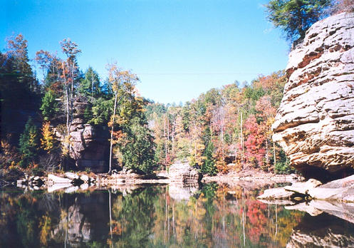
The sandstone bluffs rising up to 100 feet create dramatic scenery, particularly between Jackson and the Ohio River confluence. Wildlife historically included buffalo, elk, and beaver, though these species were extirpated by the early 1800s. Modern fauna includes white-tailed deer, wild turkey, and various waterfowl. Eighteen species of freshwater mussels have been documented in lower reaches, including state-listed species.
Access points include the Chesapeake boat ramp at the mouth, various road crossings in Lawrence County, and locations near Aid and Arabia in Jackson County. The Wayne National Forest borders portions of the watershed, providing public land access. Paddlers should exercise caution during high water, as the low gradient can create swift currents during flood conditions, and be aware that some sections pass through private property requiring permission for access.
Curated routes
Hand-picked by the PaddleWays team, with put-ins, take-outs, paddle times and the hazards along the way.
RouteClass I
RouteClass I
RouteClass I
Hazards
No hazards are marked on Symmes Creek yet. That is not the same as none being there: if you find one, report it for the next paddler.
From the community
Nobody has shared a trip on Symmes Creek yet. Paddle it, then tell the next paddler how it went.
See exactly where the public can get on and off the river. Launch points and boat ramps are paired with PaddleWays' public land data so you know where you can legally land.
Public shoreline
15%of the river's shoreline is public
Most of the riverbank is private. Launch, land and camp only at public access points.
Flows, weather and a route-by-route verdict, so you know which stretch of the Symmes Creek is worth paddling today.
Live flows, marked hazards and fresh trip reports from paddlers who were just on the water, all in one place.





Every user gets free access to launch points, boat ramps, and public property parcels.


Loading popular cities...
PaddleWays gives you everything you need to plan smarter, paddle better, and own every trip from first launch to takeout.